Llananno
Settlement in Radnorshire
Wales
Llananno
Llananno is a small village located in the historic county of Radnorshire, Wales. Situated in the heart of the picturesque Welsh countryside, it is nestled amidst rolling hills and lush green valleys. The village is part of the larger community of Llanyre and is approximately 4 miles northwest of the market town of Llandrindod Wells.
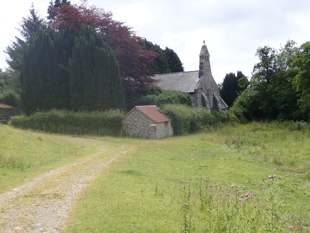
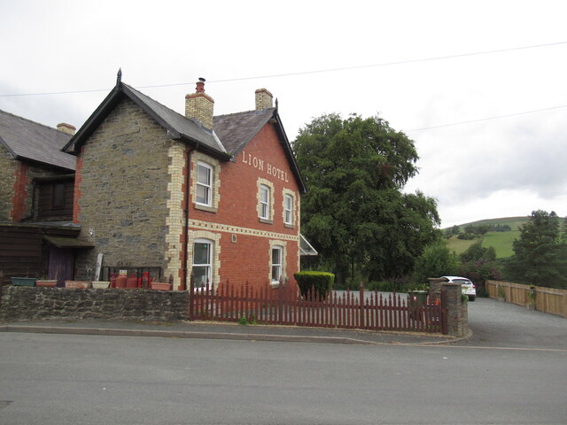
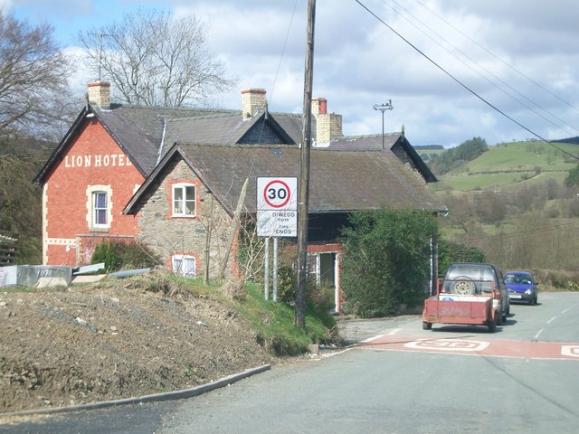
Llananno has a rich history, with evidence of human habitation dating back to prehistoric times. The village is known for its charming rural character, with traditional stone cottages, a quaint parish church, and a peaceful ambiance that attracts visitors seeking a tranquil retreat.
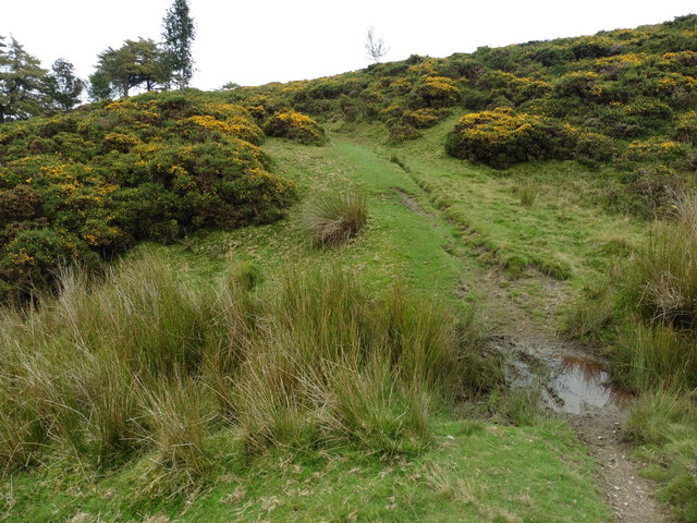
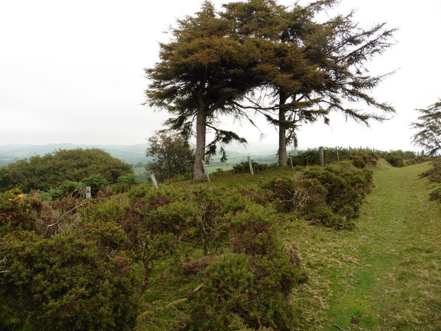
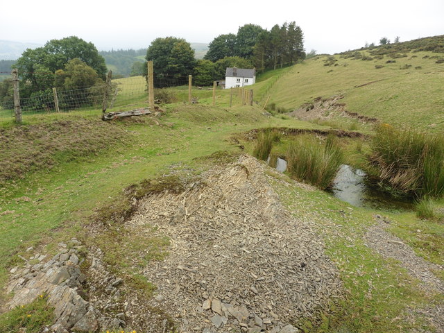
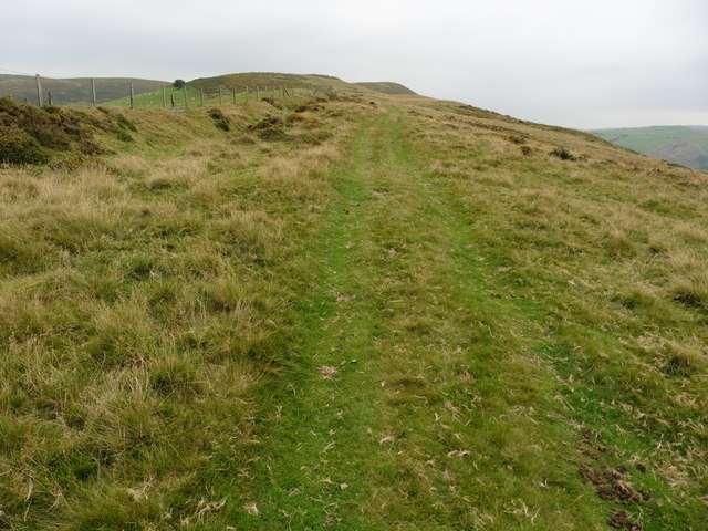
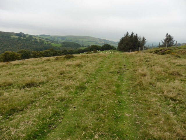
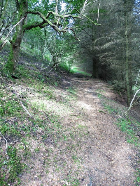
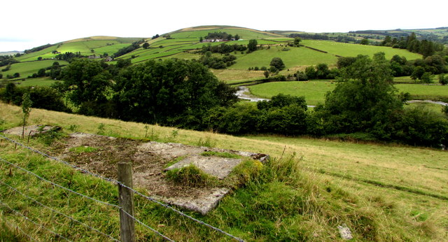
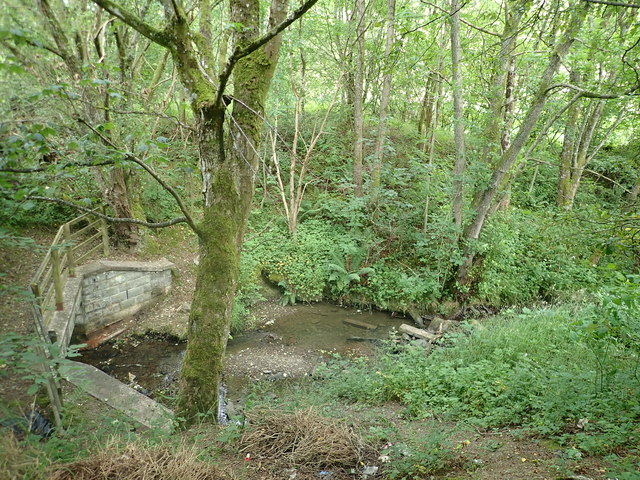
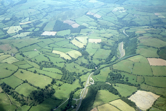
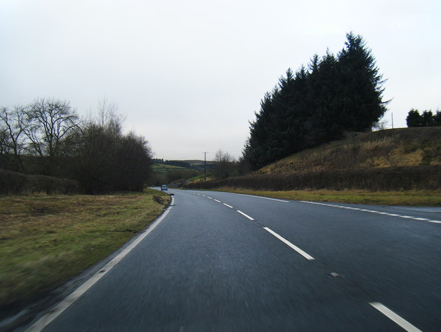
The village is surrounded by stunning natural beauty, offering breathtaking views of the Radnorshire countryside. It is an ideal destination for outdoor enthusiasts, with numerous walking trails and cycling routes that allow visitors to explore the area's stunning landscapes.
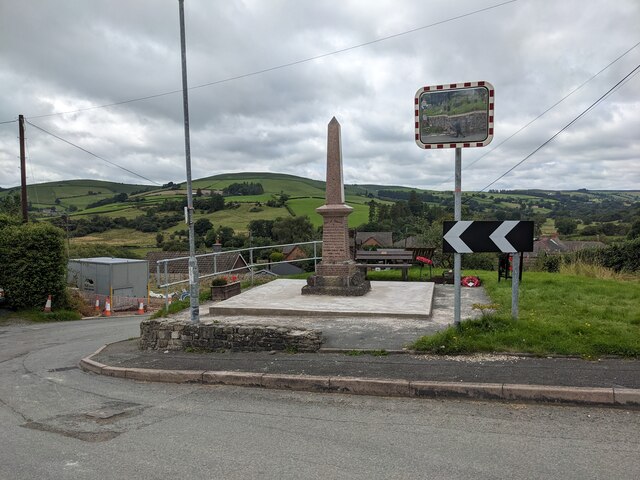
Despite its small size, Llananno has a close-knit community that takes pride in preserving its cultural heritage. The village hosts various community events throughout the year, including music festivals, craft fairs, and agricultural shows.
While Llananno may not offer a wide range of amenities, its proximity to Llandrindod Wells ensures that residents and visitors have easy access to essential services, including shops, supermarkets, healthcare facilities, and schools.
Overall, Llananno is a charming and idyllic village that offers a peaceful and picturesque retreat for those seeking a slower pace of life amidst the natural beauty of Radnorshire.
If you have any feedback on the listing, please let us know in the comments section below.
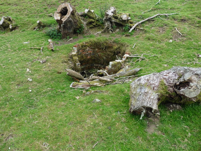
Llananno Images
Images are sourced within 2km of 52.361844/-3.332201 or Grid Reference SO0974. Thanks to Geograph Open Source API. All images are credited.
Llananno is located at Grid Ref: SO0974 (Lat: 52.361844, Lng: -3.332201)
Unitary Authority: Powys
Police Authority: Dyfed Powys
What 3 Words
///savings.calm.developed. Near Penybont, Powys
Nearby Locations
Related Wikis

St Anno's Church, Llananno
The Church of St Anno in Llananno, Powys, Wales, is a redundant church dating from the 14th century. Its medieval rood screen is considered "one of the...
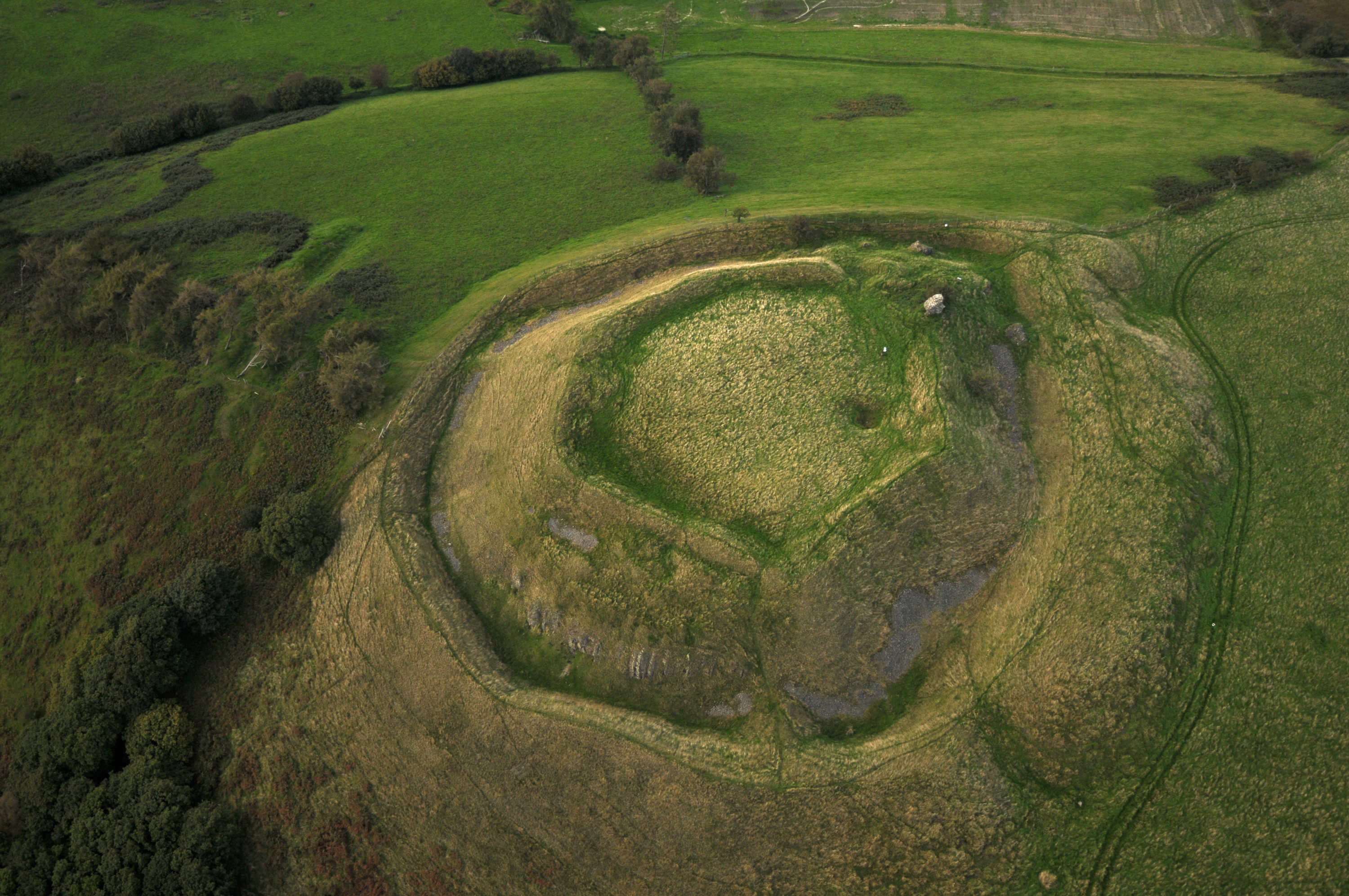
Tinboeth Castle
Tinboeth Castle (Welsh: Castell Dinbod) was a medieval castle situated midway between Llanbister and Llanbadarn Fynydd in Wales, on a bend in the River...

Llanbister
Llanbister is a small village and community with a 2011 population of 382 in Powys, mid Wales, in the historic county of Radnorshire. == Facilities... ==

Llanbadarn Fynydd
Llanbadarn Fynydd (meaning Church of Padarn in the mountain) is a village and community in Radnorshire, Powys, Wales, and is 63 miles (101 km) from Cardiff...

Rhwng Gwy a Hafren
Rhwng Gwy a Hafren (English: Between Wye and Severn) was a region of medieval Wales, located in the Welsh Marches between Powys to the north and Brycheiniog...

Red Lion Hill
Red Lion Hill (Welsh: Bryn Llew Goch) or Banc y Dolau is a hill in Powys, Wales, with a summit 484.6 metres (1,590 ft) above sea level. It is located in...
Buddugre Castle
Buddugre Castle (sometimes referred to as Tomen Bedd-Ugre, Castell Cwm Aran, Tomen Bedd Turc and Bedd-y-gre) was a motte and bailey defensive fortification...
Abbeycwmhir
Abbeycwmhir or Abbey Cwmhir (Welsh: Abaty Cwm Hir, "Abbey in the Long Valley") is a village and community in the valley of the Nant Clywedog in Radnorshire...
Nearby Amenities
Located within 500m of 52.361844,-3.332201Have you been to Llananno?
Leave your review of Llananno below (or comments, questions and feedback).