Presteigne
Settlement in Radnorshire
Wales
Presteigne
The requested URL returned error: 429 Too Many Requests
If you have any feedback on the listing, please let us know in the comments section below.
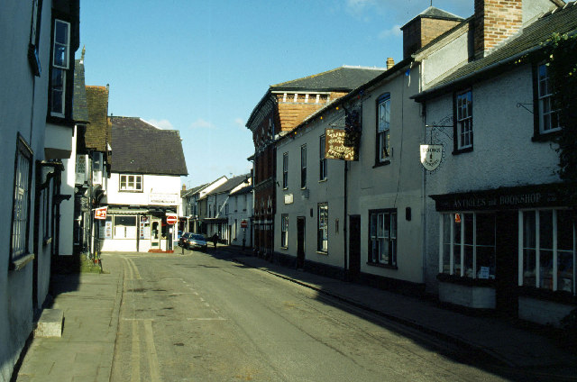
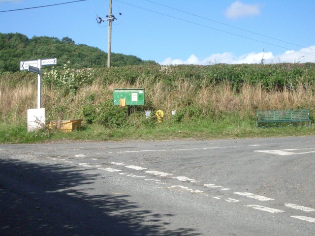
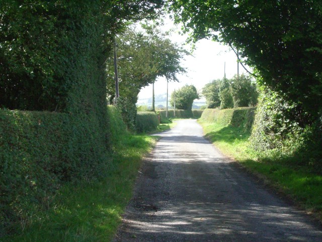
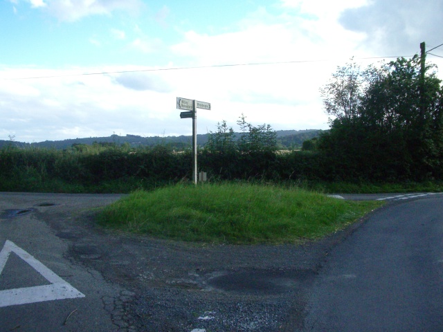
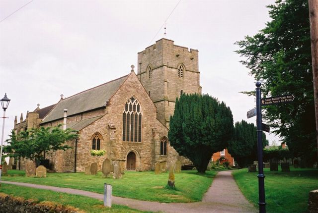
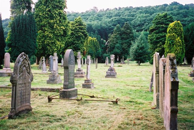
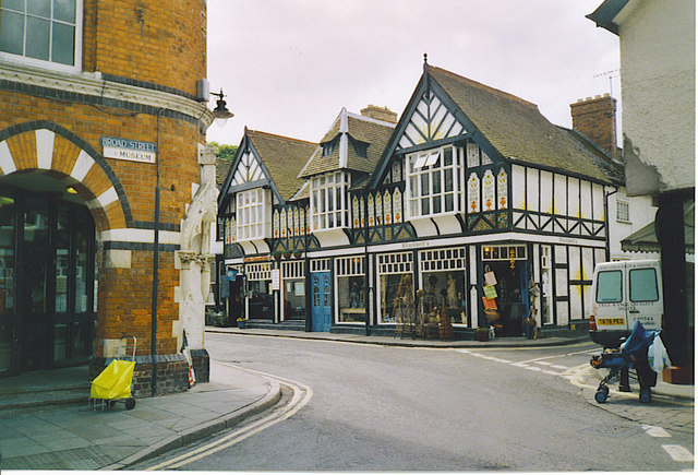
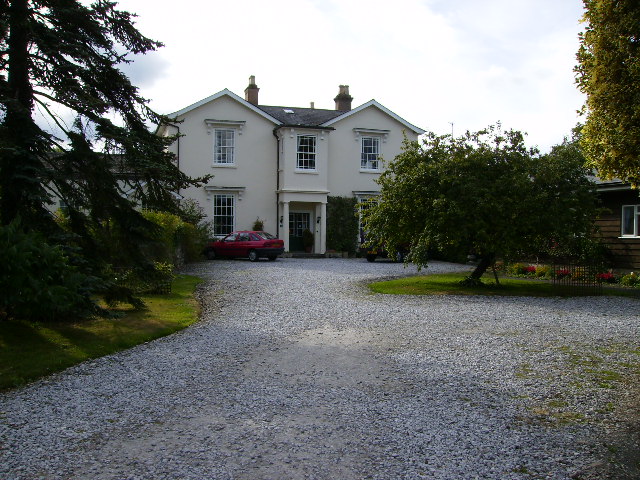
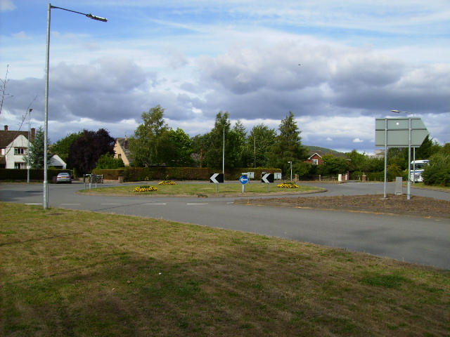
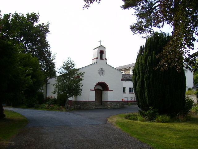
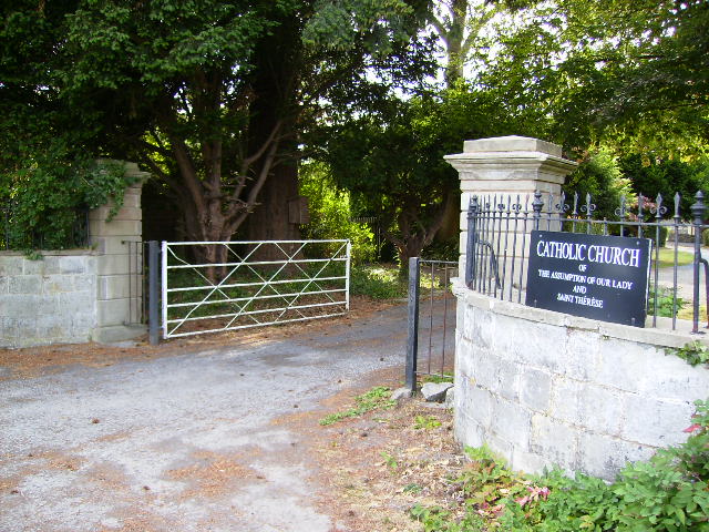
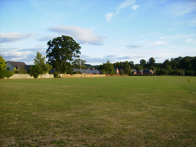
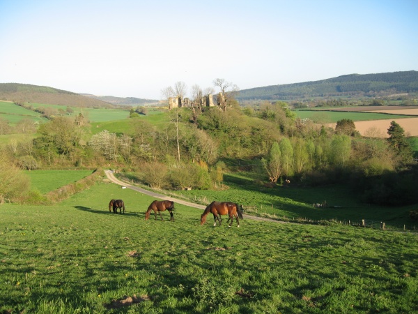
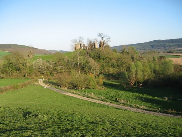
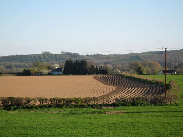
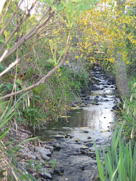
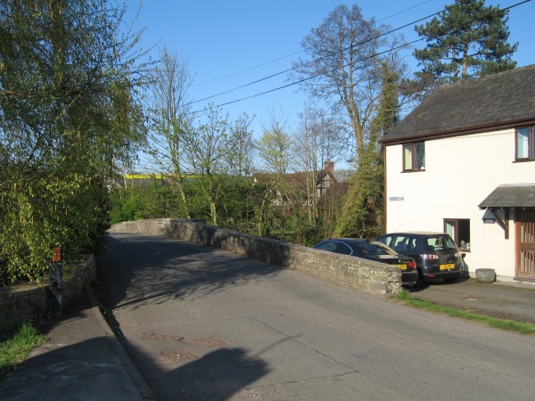
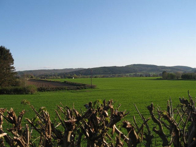
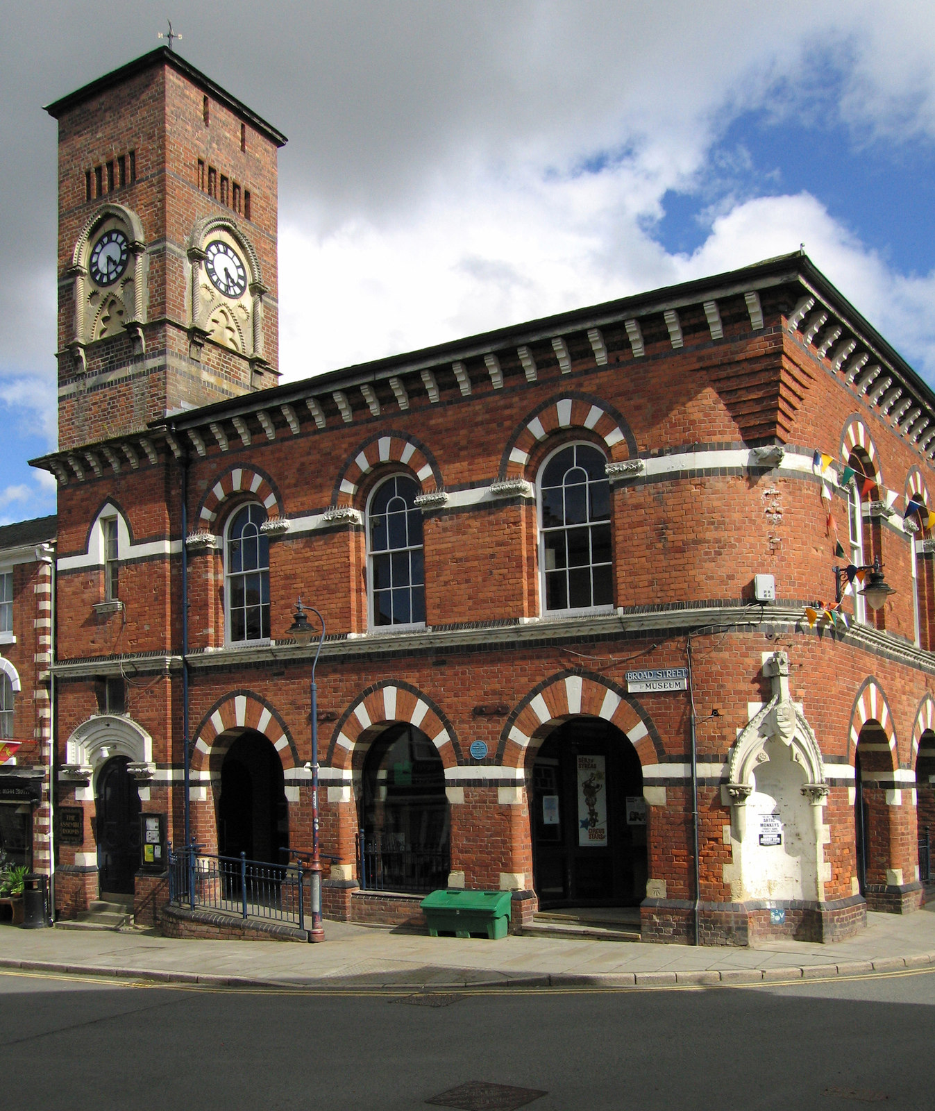
Presteigne Images
Images are sourced within 2km of 52.273371/-3.006471 or Grid Reference SO3164. Thanks to Geograph Open Source API. All images are credited.
Presteigne is located at Grid Ref: SO3164 (Lat: 52.273371, Lng: -3.006471)
Unitary Authority: Powys
Police Authority: Dyfed Powys
Also known as: Llanandras
What 3 Words
///triangle.hurtles.passively. Near Presteigne, Powys
Nearby Locations
Related Wikis
Assembly Rooms, Presteigne
The Assembly Rooms in Presteigne (Welsh: Ystafelloedd Cynnull Llanandras), formerly Presteigne Town Hall (Welsh: Neuadd y Dref Llanandras), is a municipal...

Shire Hall, Presteigne
The Shire Hall is a municipal structure in Broad Street, Presteigne, Powys, Wales. The building incorporates a well-preserved courtroom and a museum known...

Presteigne
Presteigne (; Welsh: Llanandras: the church of St. Andrew) is a town and community in Radnorshire, Powys, Wales on the south bank of the River Lugg. Formerly...

Radnorshire Arms
The Radnorshire Arms is a well-preserved Jacobean building in the Welsh border town of Presteigne, in Powys. The building has the date 1616 over its door...
Nearby Amenities
Located within 500m of 52.273371,-3.006471Have you been to Presteigne?
Leave your review of Presteigne below (or comments, questions and feedback).