Llanarmon

Settlement in Caernarfonshire

Wales

Llanarmon

Mur Crusto Farmhouse, Llangybi
Mur Crusto Farmhouse, Llangybi Credit: Dr Duncan Pepper

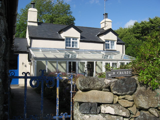
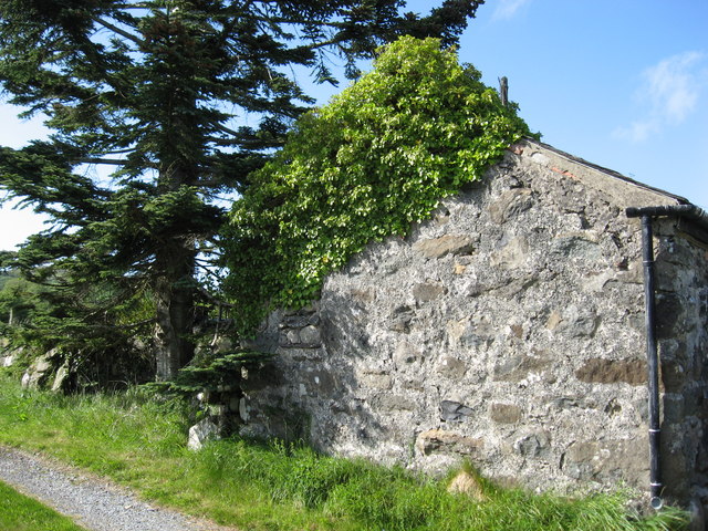
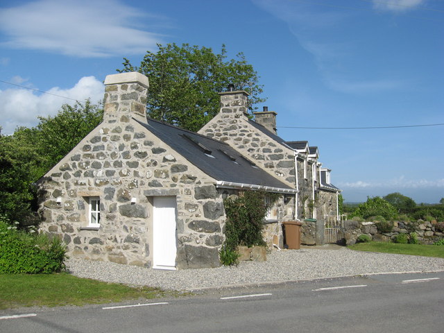
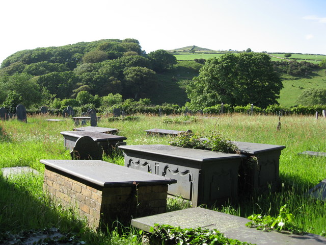
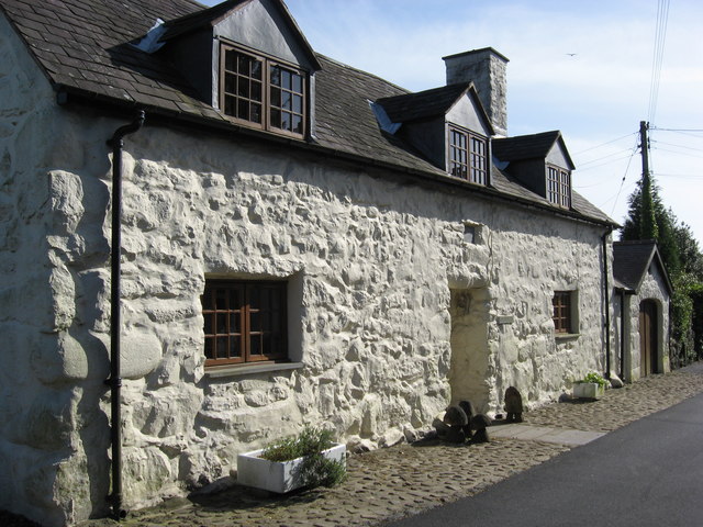
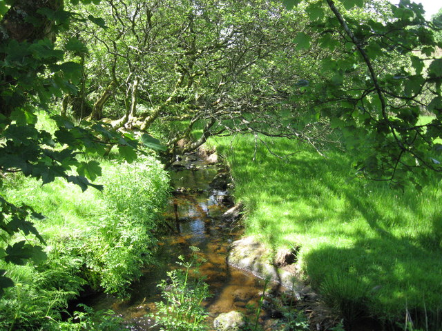
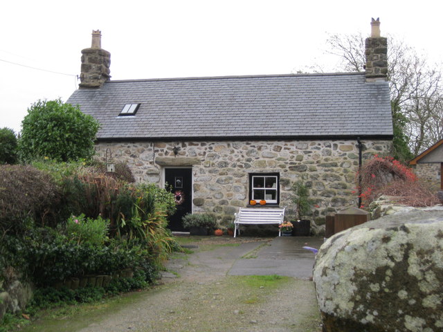
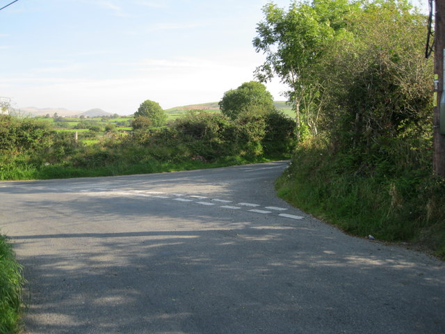
Llanarmon is a small village located in the county of Caernarfonshire, Wales. Situated in the picturesque Snowdonia National Park, Llanarmon is surrounded by stunning mountain scenery and lush green valleys. The village is known for its charming stone cottages, traditional Welsh pubs, and friendly community atmosphere.

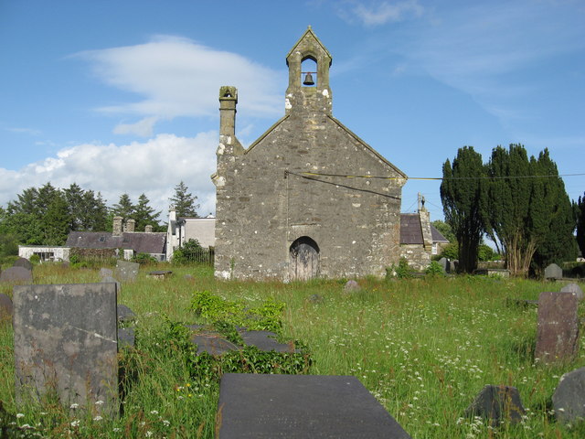
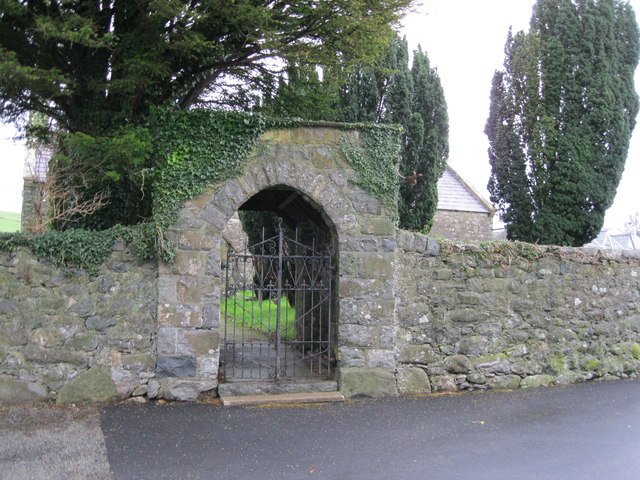
Llanarmon has a rich history dating back to medieval times, with the historic St. Garmon's Church being a prominent landmark in the village. The church is dedicated to St. Garmon, a 6th-century Welsh saint who is said to have founded a monastery in the area.

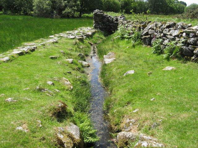
The village is a popular destination for outdoor enthusiasts, with numerous hiking trails, mountain biking routes, and fishing spots in the surrounding area. Visitors can also explore the nearby castles of Caernarfon and Conwy, or take a scenic drive along the rugged coastline of the Llyn Peninsula.

Overall, Llanarmon offers a peaceful retreat for those looking to immerse themselves in the natural beauty and history of rural Wales.

If you have any feedback on the listing, please let us know in the comments section below.
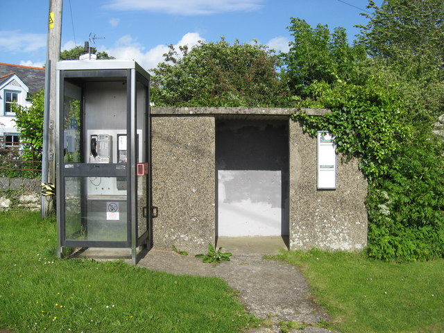
Llanarmon Images

Images are sourced within 2km of 52.9281/-4.349513 or Grid Reference SH4239. Thanks to Geograph Open Source API. All images are credited.

Mur Crusto Farmhouse, Llangybi
Former farm building now used as a store house Also has swallows nesting inside.
Former farm building now used as a store house
Also has swallows nesting inside.
Former forge at Llangybi, now a private dwelling
BT Phonebox and adjacent bus shelter at Llangybi Two buses a day-if you are lucky, otherwise none.
BT Phonebox and adjacent bus shelter at Llangybi
Two buses a day-if you are lucky, otherwise none.
Slate topped graves in the churchyard of St Cybi's church in Llangybi
St Cybi's church Llangybi
Vernacular housing in Llangybi
Sheep may safely pass-but not cattle A simple but effective low tech way of allowing sheep through a stone fence but not cattle.
Sheep may safely pass-but not cattle
A simple but effective low tech way of allowing sheep through a stone fence but not cattle.
The stream that runs through the valley at St Cybi's Well Looking downstream.
The stream that runs through the valley at St Cybi's Well
Looking downstream.
The outflowing stream from St Cybi's Well Showing the raised stone causeway that leads over the marshy land to the toilet enclosure in the distance.
The outflowing stream from St Cybi's Well
Showing the raised stone causeway that leads over the marshy land to the toilet enclosure in the distance.
Porth Mynwent Eglwys S Cybi - Lychgate of church of St Cybi The lychgate and churchyard wall to <a href="https://www.geograph.org.uk/photo/575627">SH4241 : Eglwys Sant Cybi Llangybi</a>
Porth Mynwent Eglwys S Cybi - Lychgate of church of St Cybi
The lychgate and churchyard wall to SH4241 : Eglwys Sant Cybi Llangybi
Castell An ancient cottage in the centre of the village.
Castell
An ancient cottage in the centre of the village.
Cyffordd - Road junction On the road to Pencaenewydd. The road to the right leads to Llangybi.
Cyffordd - Road junction
On the road to Pencaenewydd. The road to the right leads to Llangybi.
Eglwys S Cybi - St Cybi's church
Mynwent Eglwys S Cybi - St Cybi's Church graveyard
Ordnance Survey Cut Mark This OS cut mark can be found on the south face of St Cybi's Church. It marks a point 107.070m above mean sea level.
Ordnance Survey Cut Mark
This OS cut mark can be found on the south face of St Cybi's Church. It marks a point 107.070m above mean sea level.
Inscribed Cross, Llangybi Situated in the churchyard of St Cybi's church.
Inscribed Cross, Llangybi
Situated in the churchyard of St Cybi's church.
Church of St Cybi
Church of St Cybi
Show me another place!

Llanarmon is located at Grid Ref: SH4239 (Lat: 52.9281, Lng: -4.349513)

Unitary Authority: Gwynedd

Police Authority: North Wales

What 3 Words

///knocking.clubbing.enigma. Near Pwllheli, Gwynedd

Nearby Locations

Llanarmon

Related Wikis

Llanarmon, Gwynedd

Llanarmon (Welsh for 'Garmon's Church') is a small village and former civil parish in the old commote of Eifionydd and Cantref Dunoding in the Welsh county...

Chwilog railway station

Chwilog railway station served the village of Chwilog, Gwynedd, Wales. It was opened in 1867 by the Carnarvonshire Railway, who were subsequently taken...

Chwilog

Chwilog (Welsh pronunciation: [ˈχwiːlɔɡ]) is a village in Gwynedd, north Wales, and located on the Llŷn Peninsula. It is in the community of Llanystumdwy...

Penarth Fawr

Penarth Fawr is a hall house in the community of Llanystumdwy, Gwynedd, Wales. The oldest part of the house dates from the mid-fifteenth century and consists...

Nearby Amenities

Located within 500m of 52.9281,-4.349513
Llanarmon
Is In: Gwynedd,UK
Name Cy: Llanarmon
Name En: Llanarmon
Place: village
Source: NPE
Wikidata: Q6661066
Lat/Long: 52.9276871/-4.3470117
Direction: 195
Generator Method: photovoltaic
Generator Output Electricity: yes
Generator Solar Modules: 17
Generator Source: solar
Generator Type: solar_photovoltaic_panel
Location: roof
Power: generator
Lat/Long: 52.9291686/-4.3469247
Direction: 215
Generator Method: photovoltaic
Generator Output Electricity: yes
Generator Solar Modules: 16
Generator Source: solar
Generator Type: solar_photovoltaic_panel
Location: roof
Power: generator
Lat/Long: 52.9266386/-4.3430409
The data included in this document is from www.openstreetmap.org. The data is made available under ODbL.

Have you been to Llanarmon?

Leave your review of Llanarmon below (or comments, questions and feedback).