Castle Vale
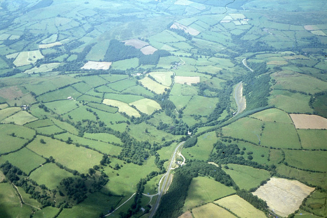
Valley in Radnorshire
Wales
Castle Vale
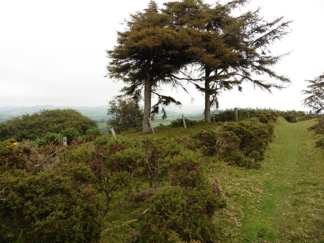
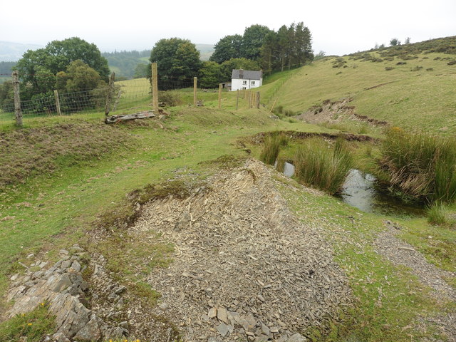
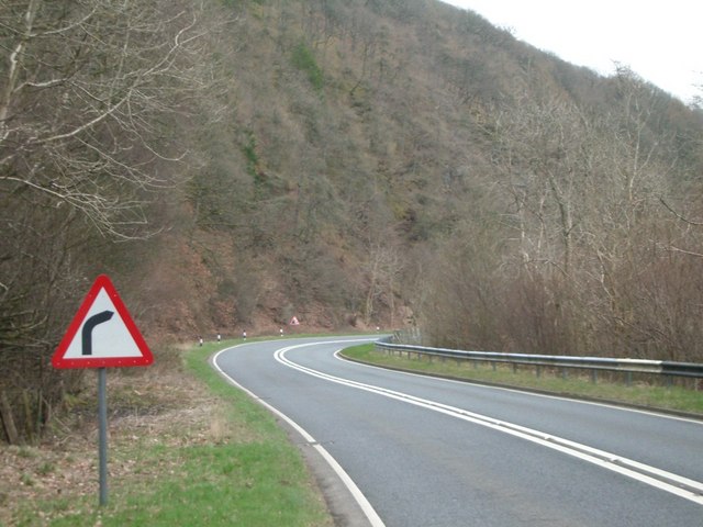
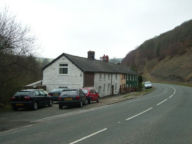
Castle Vale is a charming village located in the Radnorshire Valley of Wales. Situated in the heart of the picturesque countryside, it offers breathtaking views of rolling hills and lush greenery. The village is nestled in a valley, surrounded by the River Vale and is renowned for its untouched natural beauty.
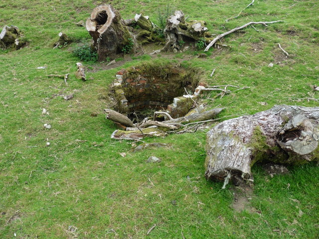
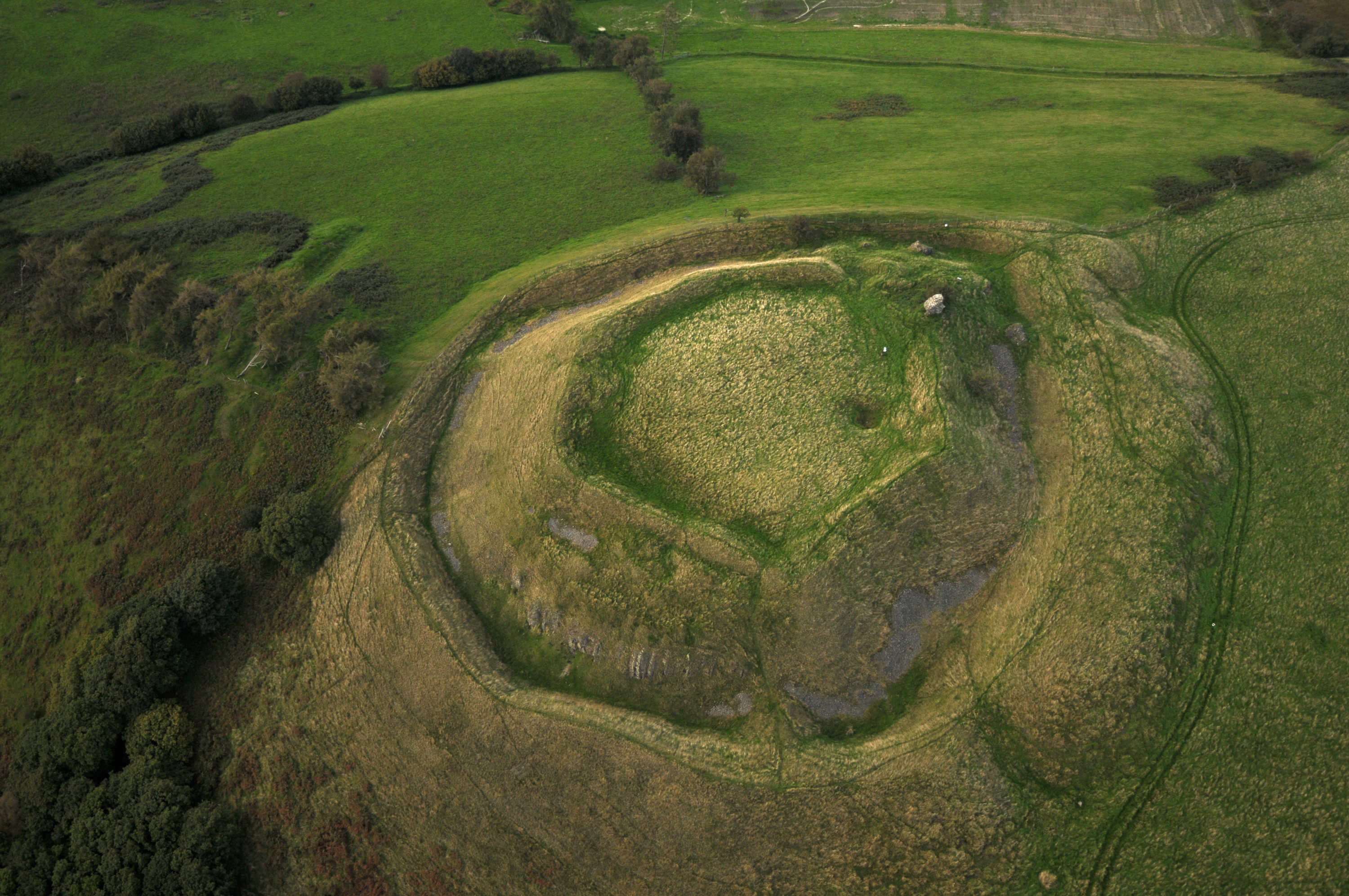
The main focal point of Castle Vale is the historic castle, which dates back to the 12th century. The castle ruins, perched on a hilltop, offer a glimpse into the area's rich history. Visitors can explore the remains of the castle walls and towers, providing a fascinating insight into medieval architecture.
The village itself exudes a peaceful and tranquil atmosphere, with charming stone cottages and well-manicured gardens lining the streets. The local community is known for its warmth and friendliness, offering a welcoming environment to residents and visitors alike.
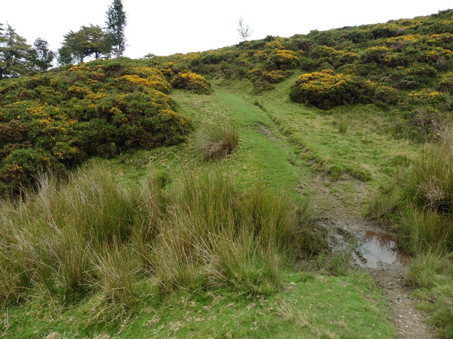
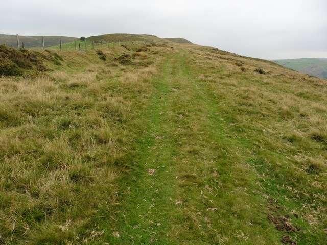
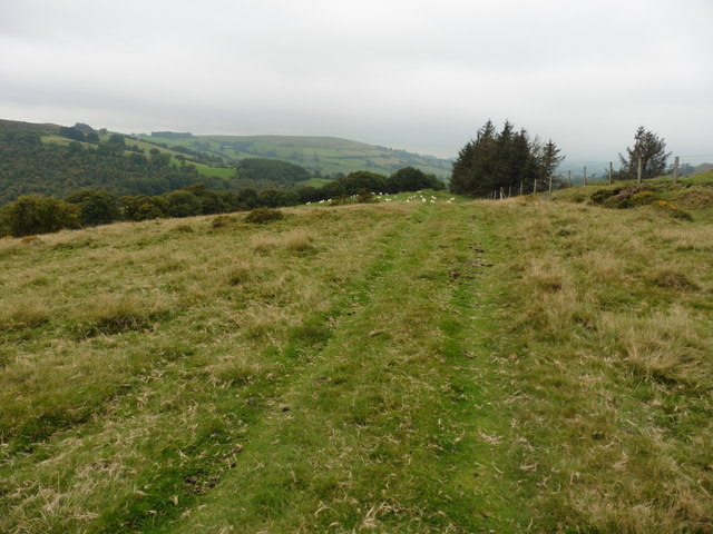
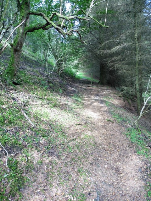
Castle Vale is a haven for nature lovers, with an abundance of walking trails and cycling routes. The surrounding countryside provides ample opportunities for outdoor activities such as hiking, birdwatching, and fishing. The nearby Radnor Forest offers a wealth of wildlife and is a popular spot for nature enthusiasts.
Though small, Castle Vale is well-equipped with amenities. It boasts a village hall, a local shop, and a welcoming community pub where locals gather for a pint and a friendly chat. The village also hosts various events throughout the year, including fairs and festivals that showcase the local culture and traditions.
In summary, Castle Vale is a hidden gem in the Radnorshire Valley, offering a picturesque setting, rich history, and a close-knit community. It is the perfect destination for those seeking tranquility and a connection with nature.
If you have any feedback on the listing, please let us know in the comments section below.
Castle Vale Images
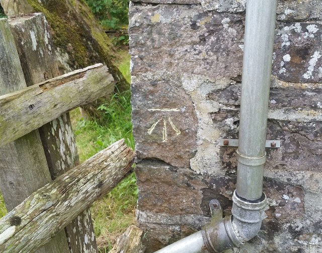
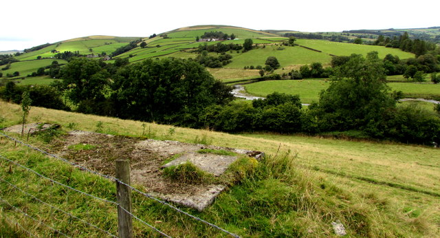
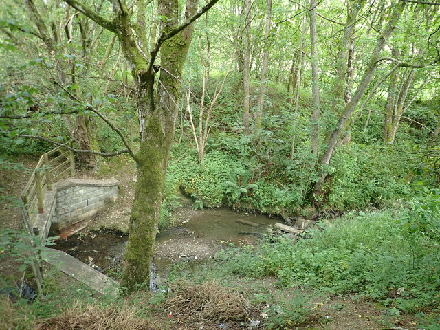
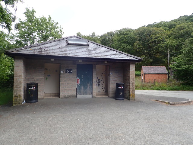
Images are sourced within 2km of 52.363168/-3.3377228 or Grid Reference SO0974. Thanks to Geograph Open Source API. All images are credited.
Castle Vale is located at Grid Ref: SO0974 (Lat: 52.363168, Lng: -3.3377228)
Unitary Authority: Powys
Police Authority: Dyfed Powys
What 3 Words
///sneezing.yacht.interlude. Near Penybont, Powys
Nearby Locations
Related Wikis

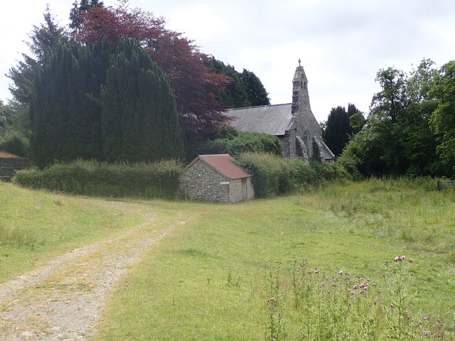
St Anno's Church, Llananno
The Church of St Anno in Llananno, Powys, Wales, is a redundant church dating from the 14th century. Its medieval rood screen is considered "one of the...
Tinboeth Castle
Tinboeth Castle (Welsh: Castell Dinbod) was a medieval castle situated midway between Llanbister and Llanbadarn Fynydd in Wales, on a bend in the River...

Llanbister
Llanbister is a small village and community with a 2011 population of 382 in Powys, mid Wales, in the historic county of Radnorshire. == Facilities... ==

Llanbadarn Fynydd
Llanbadarn Fynydd (meaning Church of Padarn in the mountain) is a village and community in Radnorshire, Powys, Wales, and is 63 miles (101 km) from Cardiff...
Nearby Amenities
Located within 500m of 52.363168,-3.3377228Have you been to Castle Vale?
Leave your review of Castle Vale below (or comments, questions and feedback).