Coire Bad Asgaraidh

Valley in Caithness

Scotland

Coire Bad Asgaraidh

Langwell Water From the track's high vantage point a wonderful view of the river with the backdrop of Morven.
Langwell Water Credit: Glen Breaden

Coire Bad Asgaraidh is a beautiful valley located in Caithness, a county in the northernmost part of mainland Scotland. This picturesque valley is renowned for its stunning natural scenery and rich diversity of flora and fauna.

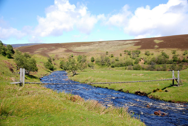
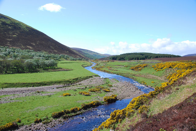
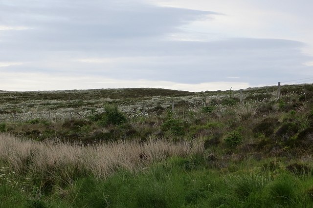
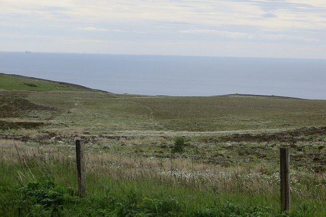
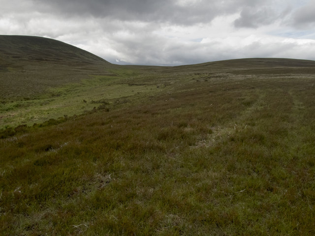
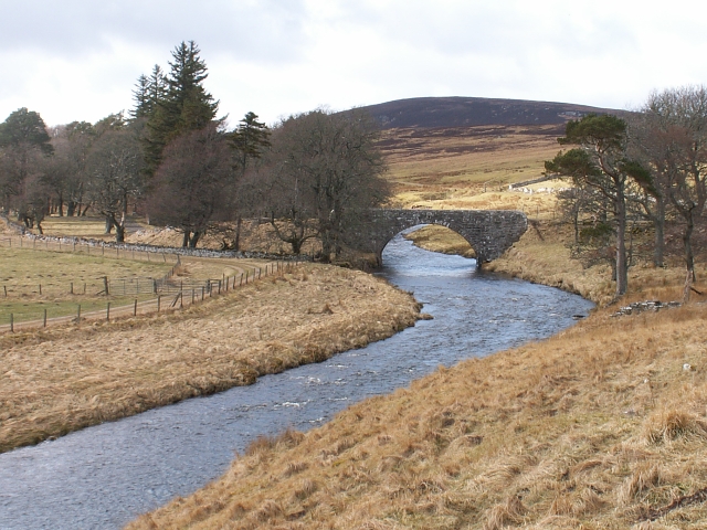
Nestled between rolling hills and surrounded by towering mountains, Coire Bad Asgaraidh offers breathtaking panoramic views. The valley is characterized by its deep and narrow shape, with steep sides that were formed by glacial activity during the last Ice Age. The central part of the valley features a small river that meanders through the landscape, adding to its charm.

The valley is home to a wide variety of plant species, ranging from heather and wildflowers to ancient Caledonian pine forests. These diverse habitats provide a sanctuary for an abundance of wildlife, including red deer, otters, golden eagles, and various species of birds. Nature enthusiasts will find plenty of opportunities for hiking, birdwatching, and photography in this unspoiled wilderness.

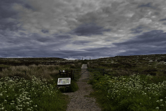
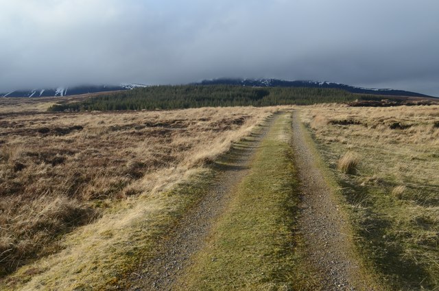
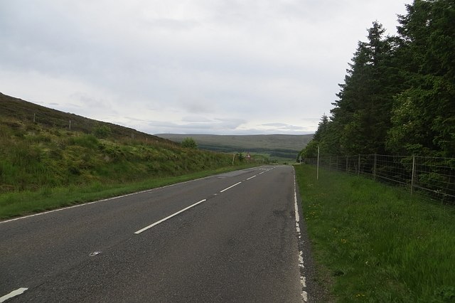
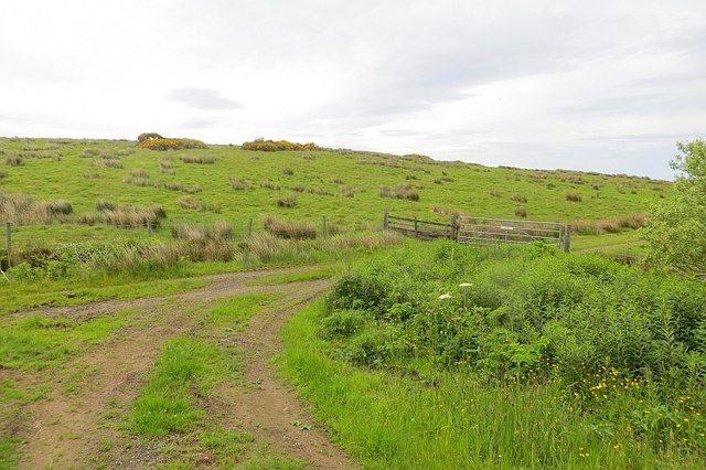
Visitors to Coire Bad Asgaraidh can explore the valley's natural wonders by following one of the well-maintained hiking trails. These trails offer access to some of the most scenic spots in the area, including waterfalls, hidden caves, and breathtaking viewpoints. The valley's tranquil atmosphere and untouched beauty make it a perfect destination for those seeking a peaceful retreat in nature.

Overall, Coire Bad Asgaraidh is a hidden gem in Caithness, offering a unique and unforgettable experience for nature lovers. Its stunning landscapes, diverse ecosystems, and abundant wildlife make it a must-visit destination for anyone exploring the Scottish Highlands.

If you have any feedback on the listing, please let us know in the comments section below.

Coire Bad Asgaraidh Images

Images are sourced within 2km of 58.178737/-3.5487984 or Grid Reference ND0922. Thanks to Geograph Open Source API. All images are credited.

Langwell Water From the track's high vantage point a wonderful view of the river with the backdrop of Morven.
Langwell Water
From the track's high vantage point a wonderful view of the river with the backdrop of Morven.
Langwell River Looking down on the anglers' hut (Ladies Tent) and the river as it flows east to the coast.
Langwell River
Looking down on the anglers' hut (Ladies Tent) and the river as it flows east to the coast.
Langwell Water Looking north to one of the many wire bridges as the river meanders east.
Langwell Water
Looking north to one of the many wire bridges as the river meanders east.
Langdale Water This is a beautiful river.  The walk is to be highly recommended.
Langdale Water
This is a beautiful river. The walk is to be highly recommended.
The way to Badbea
The way to Badbea
Moorland Track near Berriedale
Creagan Mòr Boggy moorland between the A9 and sea on the crossing of the Ord of Caithness.
Creagan Mòr
Boggy moorland between the A9 and sea on the crossing of the Ord of Caithness.
A9 Passing the car park for Badbea on the high level (but close to the coast) crossing of the Ord of Caithness.  A sense of dread prevails, Berriedale and its braes are getting closer.
A9
Passing the car park for Badbea on the high level (but close to the coast) crossing of the Ord of Caithness. A sense of dread prevails, Berriedale and its braes are getting closer.
Moorland, Badbea Above high cliffs and beside the A9.
Moorland, Badbea
Above high cliffs and beside the A9.
Road on Inver Hill A loop of rough road between the sea and A9 road.
Road on Inver Hill
A loop of rough road between the sea and A9 road.
Moorland stream The brighter green of the ferns marks the route of the Allt Braigh nam Meur, marked on the 1:50000 but named only on the 1:25000 OS map. The track I was following from the gate in the deer fence to the south was not marked. It gave easy walking through occasionally boggy ground. There was evidence cattle had been grazed here, but I met none. The hill (Braigh na h-Eaglaise 422m) is in <a href="https://www.geograph.org.uk/gridref/ND0622">ND0622</a>, but the unnamed high ground to the right has its highest point (275m) near the northern edge of the square.
Moorland stream
The brighter green of the ferns marks the route of the Allt Braigh nam Meur, marked on the 1:50000 but named only on the 1:25000 OS map. The track I was following from the gate in the deer fence to the south was not marked. It gave easy walking through occasionally boggy ground. There was evidence cattle had been grazed here, but I met none. The hill (Braigh na h-Eaglaise 422m) is in ND0622, but the unnamed high ground to the right has its highest point (275m) near the northern edge of the square.
Pylon on moorland, Badbea
Dunbeath 8 Miles Heading north east on the A9, Badbea.
Dunbeath 8 Miles
Heading north east on the A9, Badbea.
Moorland, Badbea
Moorland, Badbea
Pylon beside the A9
Pylon beside the A9
A9 towards Dunbeath Heading north east.
A9 towards Dunbeath
Heading north east.
Moorland, Badbea
Moorland, Badbea
Gated track into woodland Off the A9.
Gated track into woodland
Off the A9.
Show me another place!

Coire Bad Asgaraidh is located at Grid Ref: ND0922 (Lat: 58.178737, Lng: -3.5487984)

Unitary Authority: Highland

Police Authority: Highlands and Islands

What 3 Words

///regaining.residual.palace. Near Dunbeath, Highland

Nearby Locations

Coire Bad Asgaraidh

Related Wikis

Badbea

Badbea (pronounced bad-bay) is a former clearance village perched on the steep slopes above the cliff tops of Berriedale on the east coast of Caithness...

Berriedale Castle

Berriedale Castle is a ruined castle located on a promontory on the south of the entrance to the Berriedale Water, Caithness in Scotland. == Structure... ==

Berriedale Water

Berriedale Water is a short river in Caithness in northern Scotland. It arises as the Feith Gaineimh Mhor, Feith Chaorunn Mhor and Feith Fhuaran come together...

Berriedale Church

Berriedale Church is a former church in the parish of Latheron, in Berriedale, Caithness, Scotland. Built in 1826, the T-plan building was closed as a...

Nearby Amenities

Located within 500m of 58.178737,-3.5487984
Cnoc Bad Asgaraidh
Ele: 264
Natural: peak
Lat/Long: 58.1798041/-3.5557099
The data included in this document is from www.openstreetmap.org. The data is made available under ODbL.

Have you been to Coire Bad Asgaraidh?

Leave your review of Coire Bad Asgaraidh below (or comments, questions and feedback).