Bodfari
Settlement in Flintshire
Wales
Bodfari

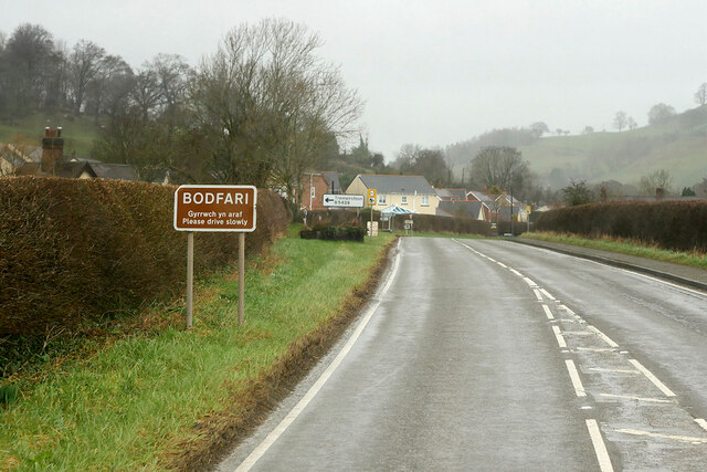
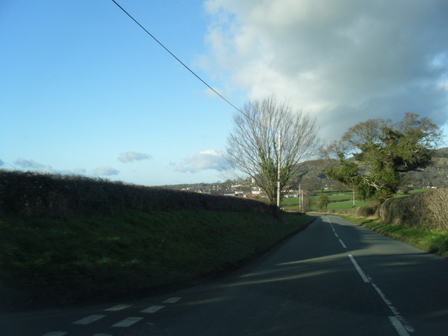
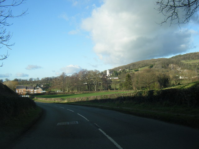
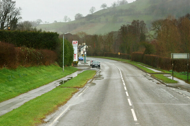
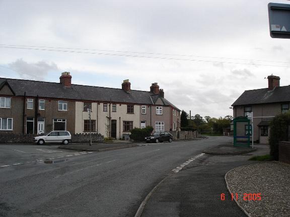
Bodfari is a small village located in the county of Flintshire, Wales. Situated in the picturesque Clwydian Range, it is surrounded by stunning countryside, offering residents and visitors alike an idyllic setting to enjoy nature and outdoor activities.
The village itself is steeped in history, with evidence of human settlement dating back to the prehistoric era. One notable historical site is the Pen-y-Gwryd hillfort, an Iron Age enclosure that stands as a testament to the area's ancient past.
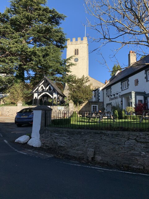
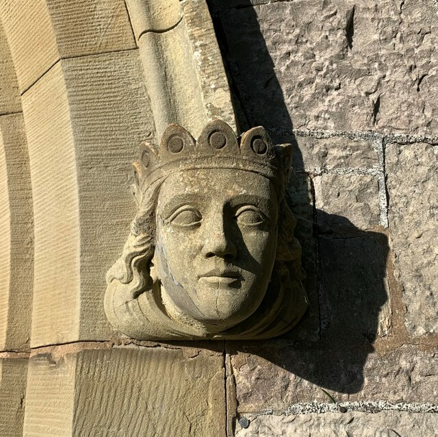
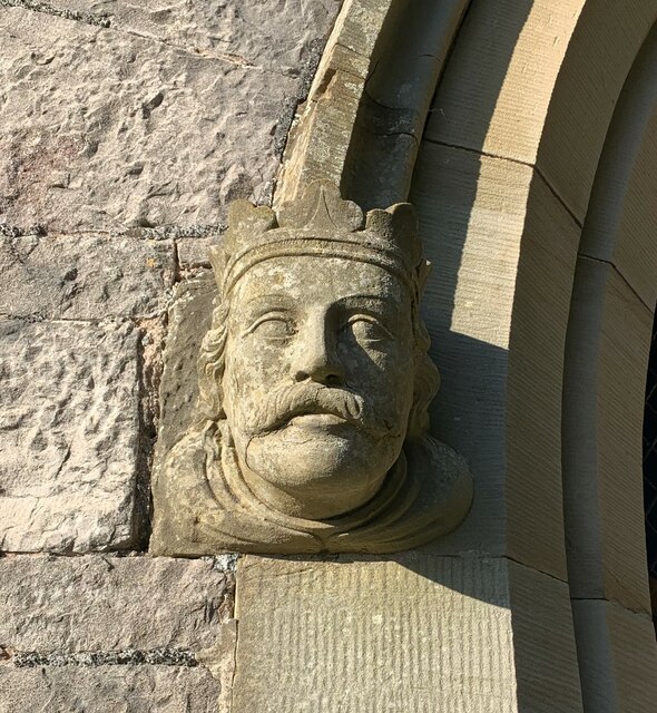
Bodfari is also home to the beautiful St. Stephen's Church, a Grade I listed building that dates back to the 12th century. The church's architecture and interior features, including a medieval rood screen and stained glass windows, attract many visitors interested in religious history and architecture.
Despite its small size, Bodfari boasts a vibrant community spirit, with various local events and activities taking place throughout the year. The village has a primary school, ensuring that education is readily accessible for families residing in the area. Additionally, there are a few local businesses, including a village shop and a pub, providing essential amenities for residents.
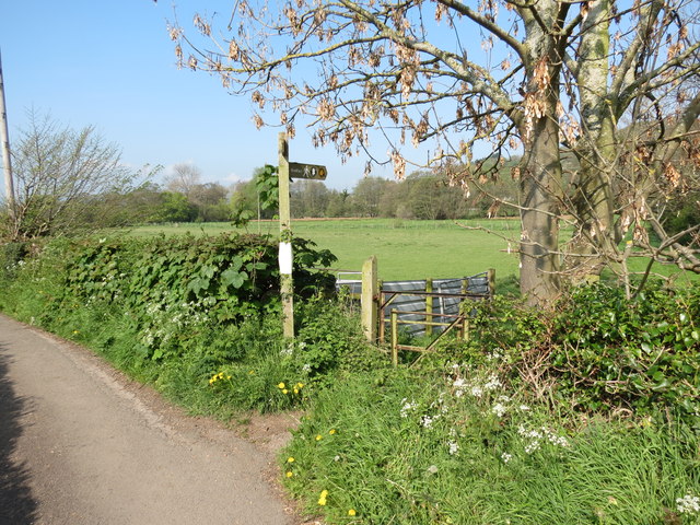
For those seeking outdoor adventures, Bodfari is an excellent starting point to explore the Clwydian Range, an Area of Outstanding Natural Beauty. Hiking trails, such as the Offa's Dyke Path, offer breathtaking views of the surrounding hills and valleys, making it a popular destination for nature enthusiasts and walkers.
Overall, Bodfari offers a charming, historical, and tranquil setting for residents and visitors, showcasing the beauty of rural Flintshire.
If you have any feedback on the listing, please let us know in the comments section below.
Bodfari Images
Images are sourced within 2km of 53.219915/-3.361 or Grid Reference SJ0970. Thanks to Geograph Open Source API. All images are credited.


Bodfari is located at Grid Ref: SJ0970 (Lat: 53.219915, Lng: -3.361)
Unitary Authority: Denbighshire
Police Authority: North Wales
Also known as: Botffari
What 3 Words
///struggle.observers.powering. Near Trefnant, Denbighshire
Nearby Locations
Related Wikis

Bodfari
Bodfari is a village and community in Denbighshire, Wales. Until the local government reorganisation of 1974, Bodfari was in the historic county of Flintshire...
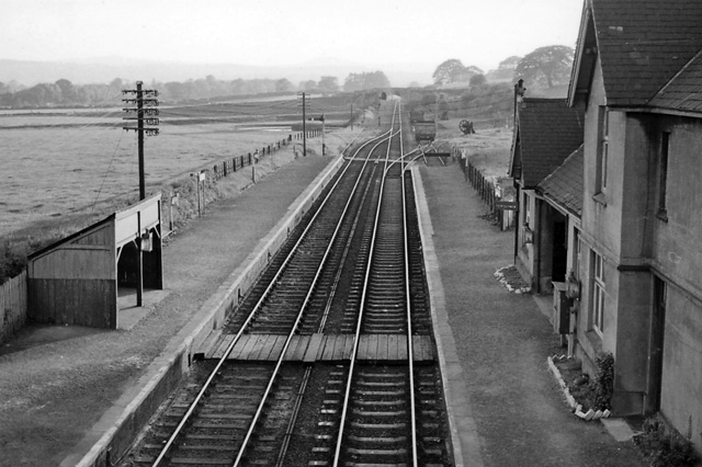
Bodfari railway station
Bodfari railway station was opened on 6 September 1869 by the Mold and Denbigh Junction Railway. Following the Railways Act 1921 the line became part of...

Moel y Gaer, Bodfari
Moel y Gaer (Welsh for "bald hill of the fortress") is an Iron Age hillfort at the northern end of the Clwydian Range, located on a summit overlooking...
Aberwheeler
Aberwheeler (Welsh: Aberchwiler) is a village and community in the Welsh county of Denbighshire, located on the south bank of the River Wheeler (Welsh...

River Wheeler
The River Wheeler (Welsh: Afon Chwiler) is a tributary of the River Clwyd in north-east Wales. Rising on the east side of the Clwydian Range, it is a...
Vale of Clwyd
The Vale of Clwyd (Welsh: Dyffryn Clwyd) is a tract of low-lying ground in the county of Denbighshire in north-east Wales. The Vale extends south-southwestwards...

Lleweni Hall
Lleweni Hall (Welsh: Plas Lleweni; sometimes also referred to as Llewenny Palace) was a stately home in Denbighshire, northeast Wales, around 2 miles...
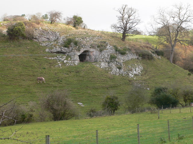
Ffynnon Beuno and Cae Gwyn Caves
Ffynnon Beuno and Cae Gwyn Caves are two Scheduled Ancient Monuments, in Denbighshire, Wales, which are also designated a Site of Special Scientific Interest...
Nearby Amenities
Located within 500m of 53.219915,-3.361Have you been to Bodfari?
Leave your review of Bodfari below (or comments, questions and feedback).