Coed y Llan
Wood, Forest in Flintshire
Wales
Coed y Llan

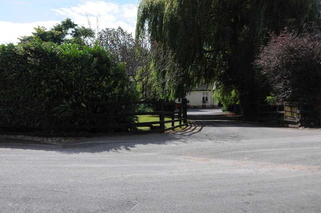
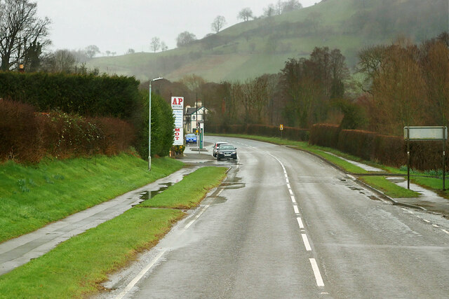
Coed y Llan, located in Flintshire, Wales, is a picturesque wood or forest that offers a tranquil escape from the bustling city life. Covering an area of approximately 200 acres, this natural gem is nestled in the countryside, providing visitors with an opportunity to immerse themselves in the beauty of nature.
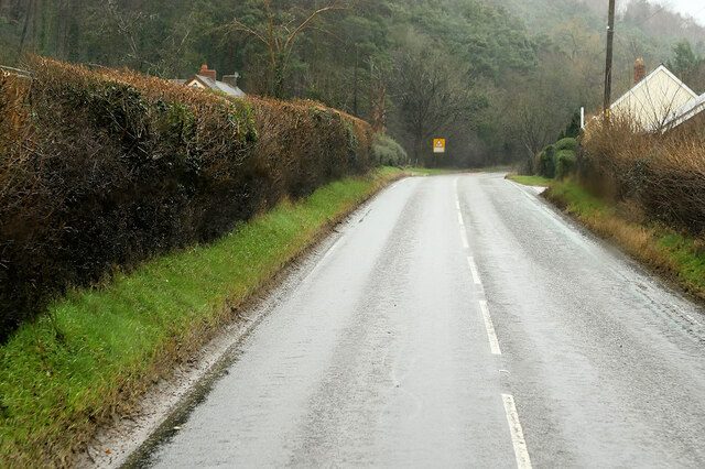
The wood consists of a diverse range of tree species, including oak, beech, birch, and ash, which create a dense canopy overhead. This lush vegetation provides a habitat for a variety of wildlife, such as birds, mammals, and insects, making it a haven for nature enthusiasts and wildlife lovers.
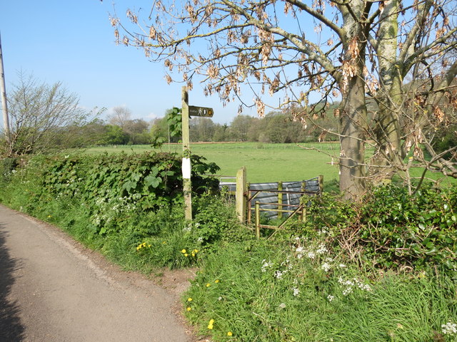
Coed y Llan is crisscrossed by a network of well-maintained footpaths, allowing visitors to explore the wood at their own pace. These paths wind through the trees, offering delightful glimpses of wildflowers, ferns, and moss-covered rocks. The wood also features a small stream that adds to its enchanting ambiance.
For those seeking a family-friendly outing, Coed y Llan offers designated picnic areas and a children's play area, making it an ideal place for a day out with the family. Additionally, the wood is dog-friendly, providing a perfect opportunity for dog owners to take their furry friends for a walk in nature.
Coed y Llan is easily accessible, with ample parking available nearby. It is a popular destination for locals and tourists alike, offering a serene and scenic setting for relaxation, recreation, and exploration. Whether it's a leisurely stroll, a picnic, or birdwatching, Coed y Llan has something to offer for everyone seeking a natural escape in Flintshire.
If you have any feedback on the listing, please let us know in the comments section below.
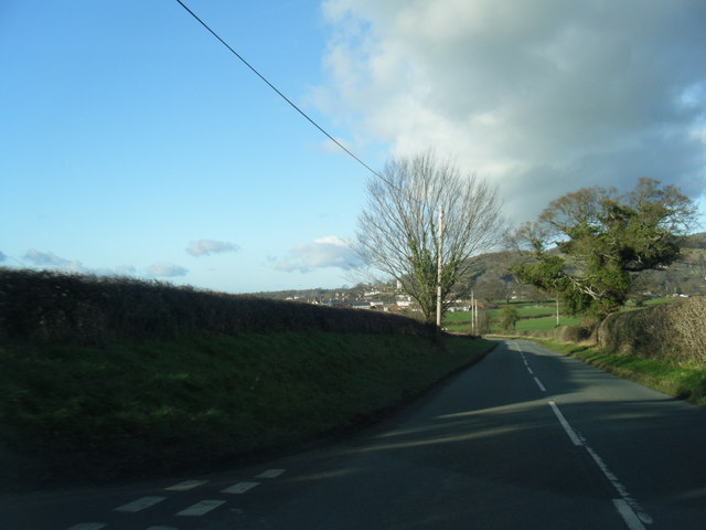
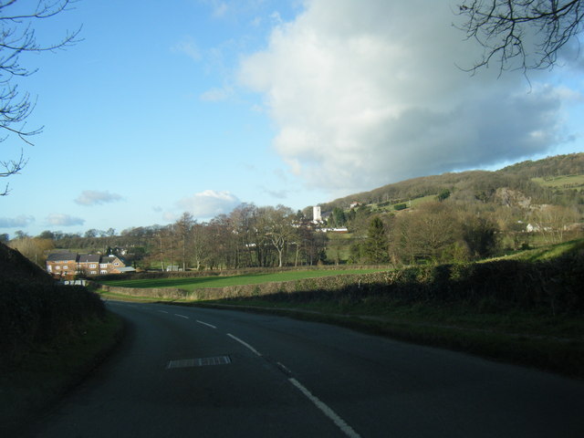
Coed y Llan Images
Images are sourced within 2km of 53.222991/-3.360208 or Grid Reference SJ0970. Thanks to Geograph Open Source API. All images are credited.


Coed y Llan is located at Grid Ref: SJ0970 (Lat: 53.222991, Lng: -3.360208)
Unitary Authority: Denbighshire
Police Authority: North Wales
What 3 Words
///putts.inserted.bossy. Near Trefnant, Denbighshire
Nearby Locations
Related Wikis

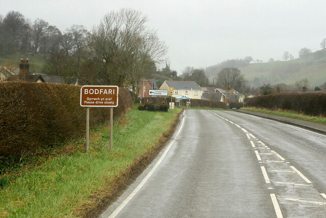
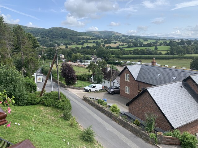
Bodfari
Bodfari is a village and community in Denbighshire, Wales. Until the local government reorganisation of 1974, Bodfari was in the historic county of Flintshire...

Moel y Gaer, Bodfari
Moel y Gaer (Welsh for "bald hill of the fortress") is an Iron Age hillfort at the northern end of the Clwydian Range, located on a summit overlooking...
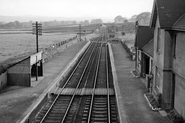
Bodfari railway station
Bodfari railway station was opened on 6 September 1869 by the Mold and Denbigh Junction Railway. Following the Railways Act 1921 the line became part of...
Aberwheeler
Aberwheeler (Welsh: Aberchwiler) is a village and community in the Welsh county of Denbighshire, located on the south bank of the River Wheeler (Welsh...
Nearby Amenities
Located within 500m of 53.222991,-3.360208Have you been to Coed y Llan?
Leave your review of Coed y Llan below (or comments, questions and feedback).