Moel y Gaer
Heritage Site in Flintshire
Wales
Moel y Gaer

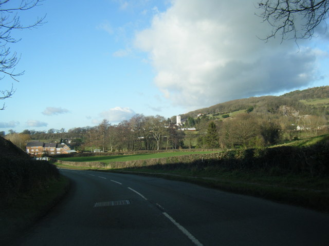
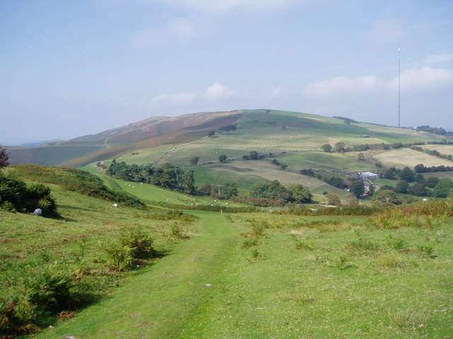
Moel y Gaer is a historic heritage site located in Flintshire, Wales. Situated atop a prominent hill, this ancient hillfort offers breathtaking panoramic views of the surrounding countryside. The site is believed to have been occupied from the Iron Age until the Roman era, making it an important archaeological site.
The hillfort is enclosed by a double rampart and ditch system, which would have provided excellent defensive capabilities. It covers an area of approximately 2.5 hectares and contains the remains of several roundhouses, indicating a once-thriving community. The fort's strategic position would have allowed its inhabitants to monitor and control the surrounding landscape.
Excavations at Moel y Gaer have revealed a wealth of artifacts, including pottery, metalwork, and animal bones. These findings provide insight into the daily lives and activities of its inhabitants. The site's location near important trade routes suggests that it may have served as a trading hub during its occupation.
Today, Moel y Gaer is a popular destination for history enthusiasts and hikers alike. Visitors can explore the ancient earthworks and take in the stunning views from the hilltop. Interpretive panels provide information about the site's history and significance, enhancing the visitor experience.
Overall, Moel y Gaer in Flintshire is a fascinating heritage site that offers a glimpse into Wales' ancient past. Its well-preserved earthworks and artifacts make it an important archaeological site, while its scenic location makes it a must-visit destination for those seeking a connection to the region's history and natural beauty.
If you have any feedback on the listing, please let us know in the comments section below.
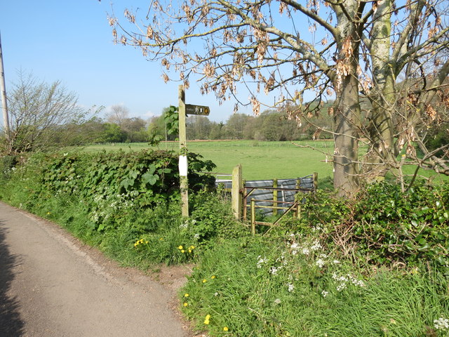
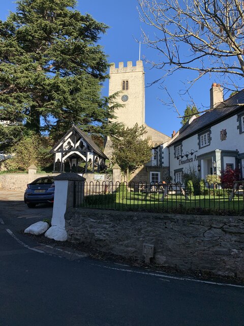
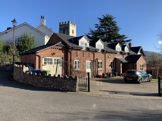
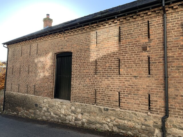
Moel y Gaer Images
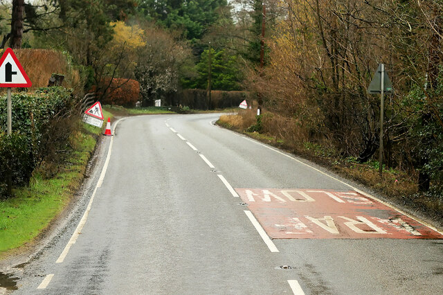
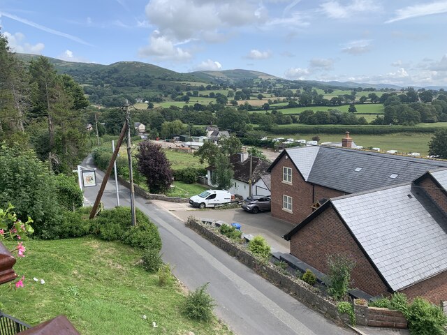
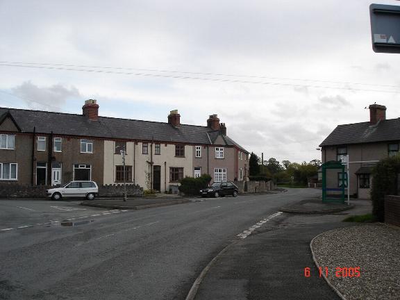
Images are sourced within 2km of 53.223/-3.355 or Grid Reference SJ0970. Thanks to Geograph Open Source API. All images are credited.


Moel y Gaer is located at Grid Ref: SJ0970 (Lat: 53.223, Lng: -3.355)
Unitary Authority: Denbighshire
Police Authority: North Wales
What 3 Words
///powering.spit.chop. Near Trefnant, Denbighshire
Nearby Locations
Related Wikis

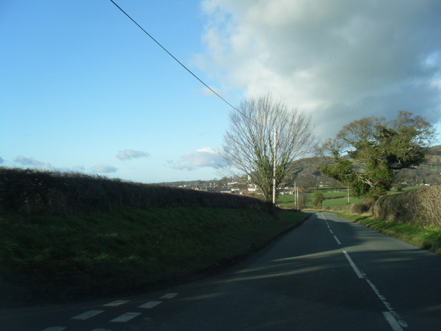
Moel y Gaer, Bodfari
Moel y Gaer (Welsh for "bald hill of the fortress") is an Iron Age hillfort at the northern end of the Clwydian Range, located on a summit overlooking...
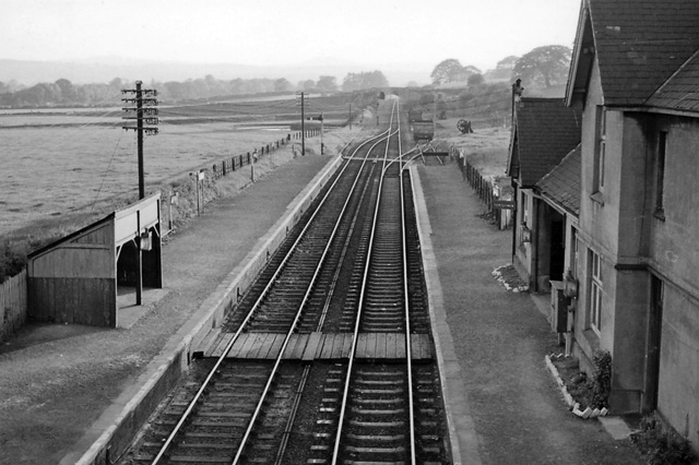
Bodfari railway station
Bodfari railway station was opened on 6 September 1869 by the Mold and Denbigh Junction Railway. Following the Railways Act 1921 the line became part of...

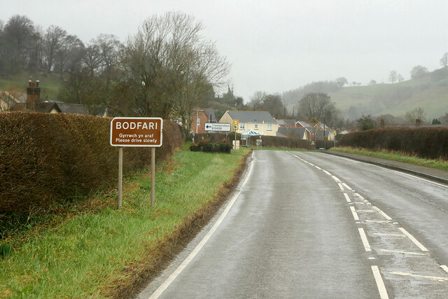
Bodfari
Bodfari is a village and community in Denbighshire, Wales. Until the local government reorganisation of 1974, Bodfari was in the historic county of Flintshire...
Aberwheeler
Aberwheeler (Welsh: Aberchwiler) is a village and community in the Welsh county of Denbighshire, located on the south bank of the River Wheeler (Welsh...

River Wheeler
The River Wheeler (Welsh: Afon Chwiler) is a tributary of the River Clwyd in north-east Wales. Rising on the east side of the Clwydian Range, it is a...
Vale of Clwyd
The Vale of Clwyd (Welsh: Dyffryn Clwyd) is a tract of low-lying ground in the county of Denbighshire in north-east Wales. The Vale extends south-southwestwards...
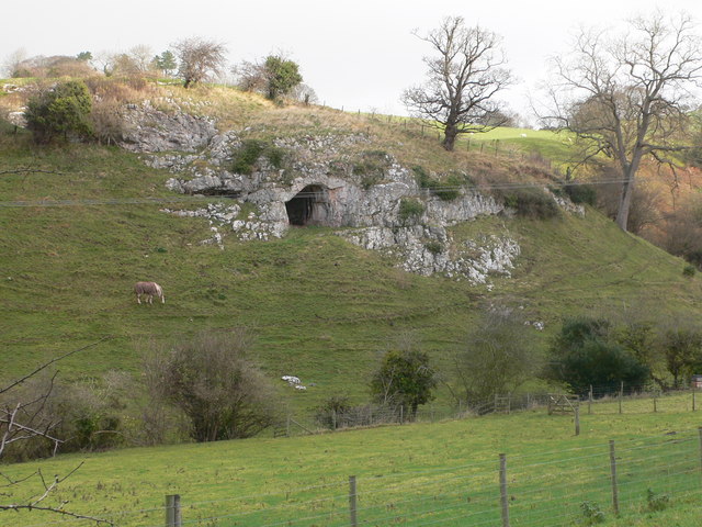
Ffynnon Beuno and Cae Gwyn Caves
Ffynnon Beuno and Cae Gwyn Caves are two Scheduled Ancient Monuments, in Denbighshire, Wales, which are also designated a Site of Special Scientific Interest...
Moel y Parc
Moel y Parc (sometimes written as Moel-y-Parc) is a hill on the border between Denbighshire and Flintshire in Wales. It is one of the Clwydian Hills, rising...
Nearby Amenities
Located within 500m of 53.223,-3.355Have you been to Moel y Gaer?
Leave your review of Moel y Gaer below (or comments, questions and feedback).