Moel y Gaer

Heritage Site in Flintshire

Wales

Moel y Gaer

Flint Mountain Woodland
Flint Mountain Woodland Credit: Carly McCarthy

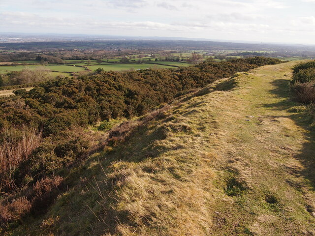
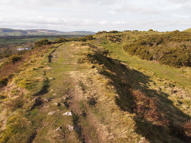
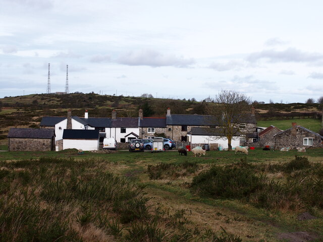
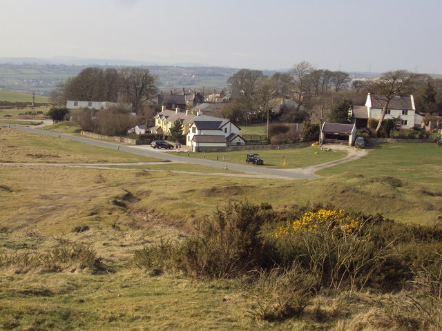
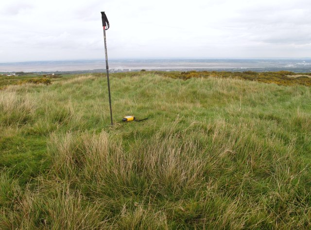
Moel y Gaer is an ancient hillfort located in Flintshire, Wales. Situated on the eastern slopes of the Clwydian Range, it is considered one of the most significant heritage sites in the area. The hillfort stands at an elevation of 365 meters, offering panoramic views of the surrounding landscape.

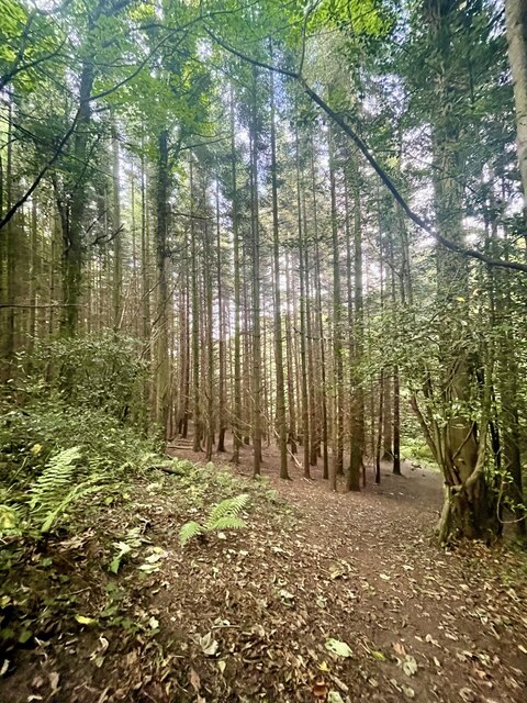
Believed to have been constructed during the Iron Age, Moel y Gaer covers an area of approximately 2.5 hectares. It is surrounded by a well-preserved defensive rampart and ditch, which were likely built to protect the inhabitants from potential invaders. The fortification consists of three main enclosures, with the innermost enclosure containing evidence of ancient dwellings.

Excavations conducted at Moel y Gaer have unearthed numerous artifacts, including pottery fragments, tools, and animal bones. These findings suggest that the site was inhabited by a small community engaged in farming and other domestic activities. It is thought that the hillfort served as a central hub for local trade and social gatherings.

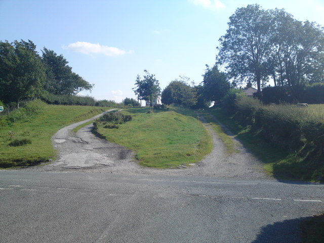
Today, Moel y Gaer attracts visitors interested in exploring its rich history and enjoying the stunning views from its summit. The site is accessible via footpaths, and there is a small car park nearby for convenience. Interpretive panels provide information about the hillfort's significance and archaeological discoveries. Moel y Gaer offers a unique opportunity to step back in time and appreciate the ancient heritage of Flintshire.

If you have any feedback on the listing, please let us know in the comments section below.
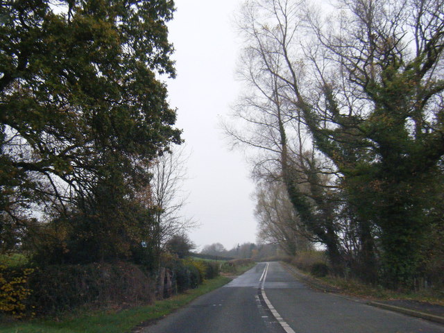
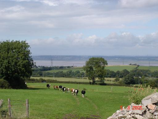
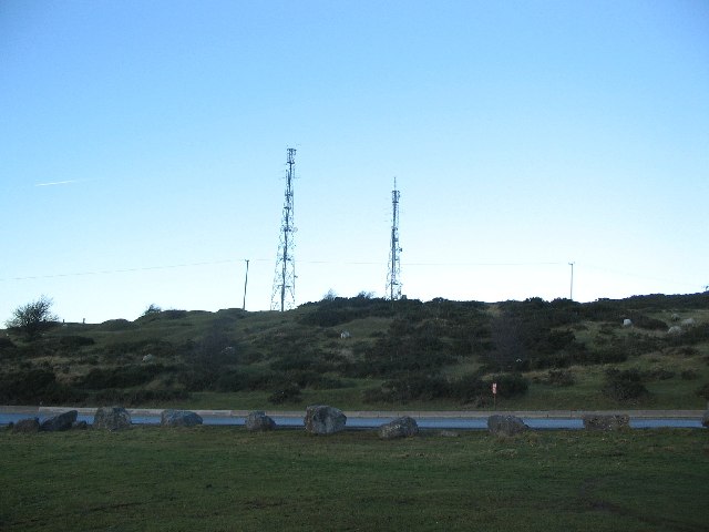
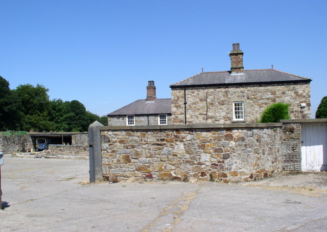
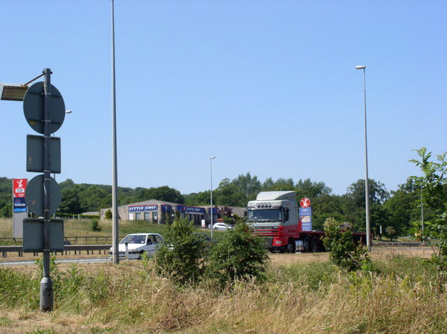
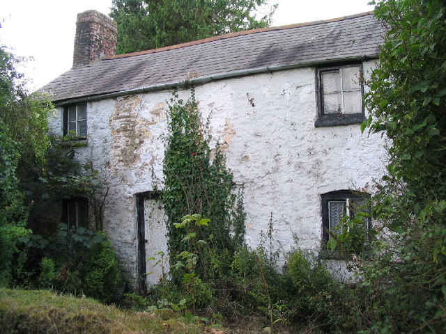
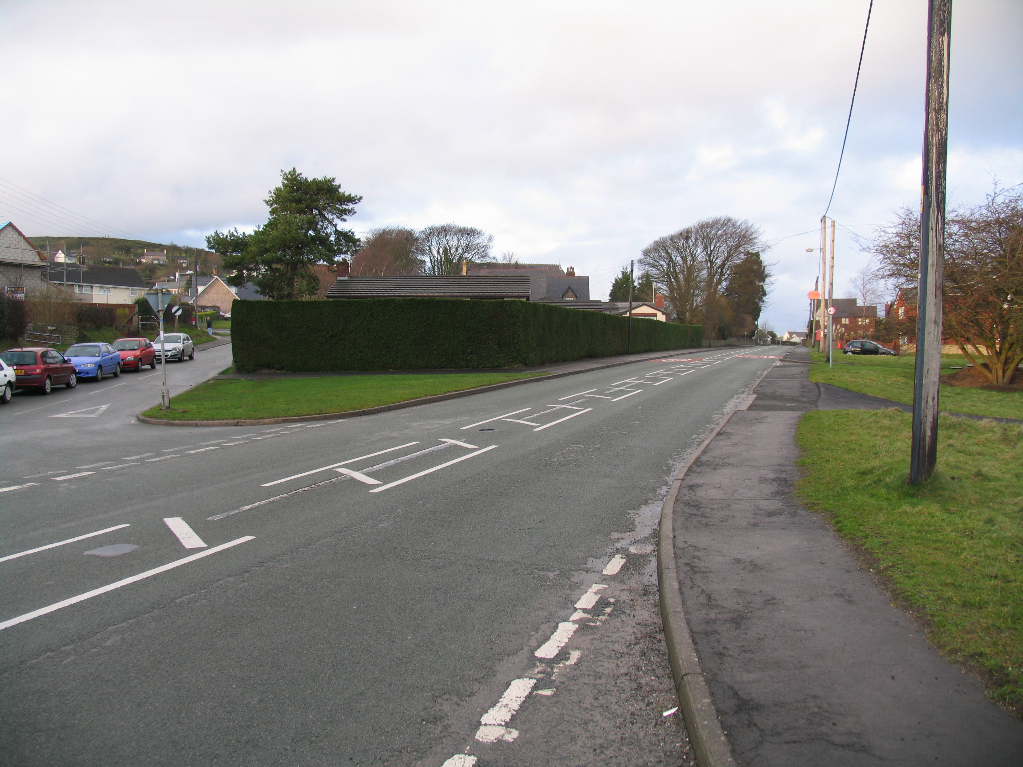
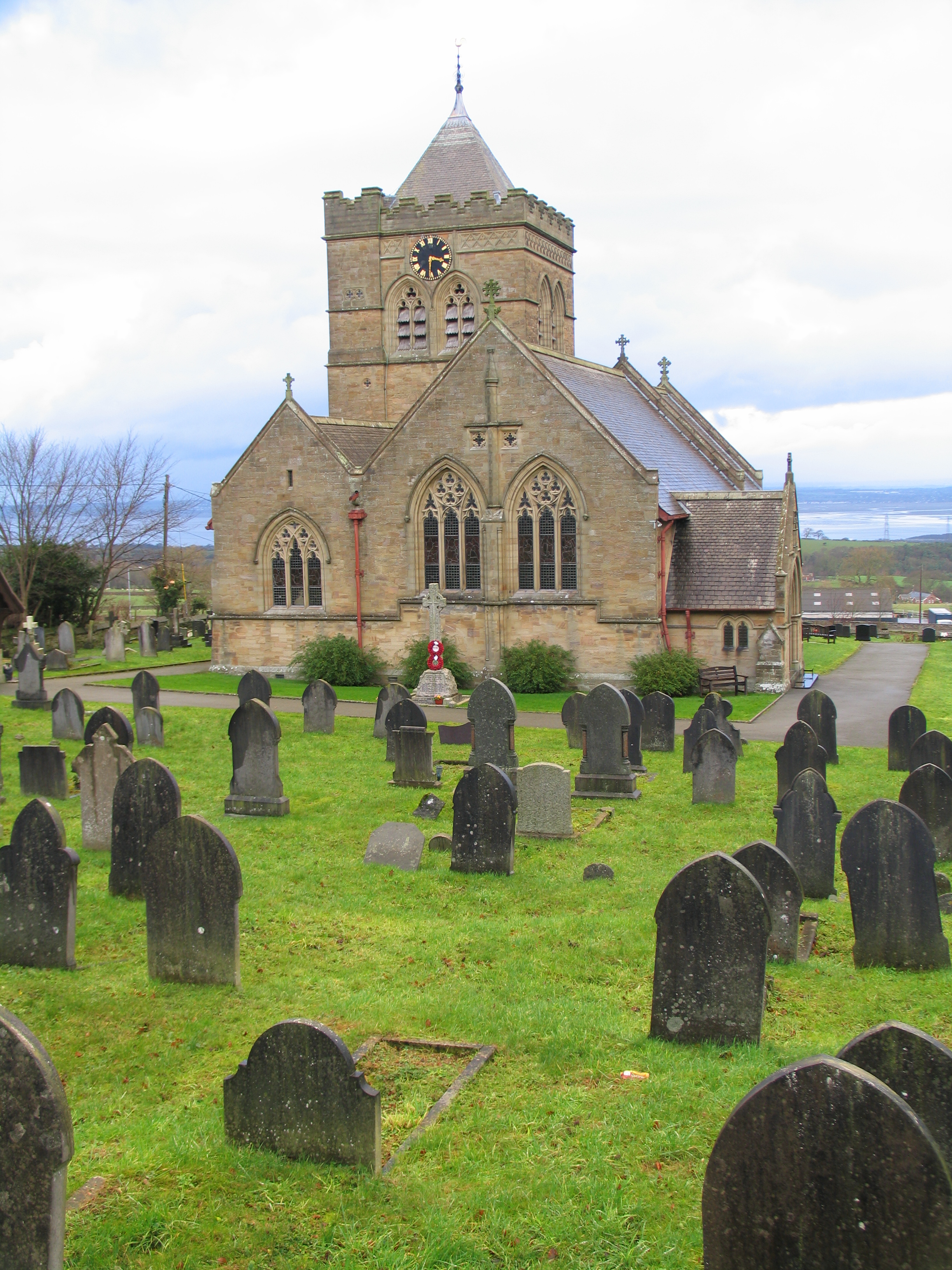
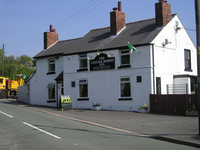
Moel y Gaer Images

Images are sourced within 2km of 53.217/-3.175 or Grid Reference SJ2169. Thanks to Geograph Open Source API. All images are credited.

Flint Mountain Woodland
Pant Quarry, Halkyn
Pant Quarry, Halkyn
Ramparts and Ditch, Moel y Gaer, Rhosesmor Iron Age hillfort.
Ramparts and Ditch, Moel y Gaer, Rhosesmor
Iron Age hillfort.
Rampart, Moel y Gaer
Pant-y-Ffrith, Berth Ddu Developed from miners cottages.
Pant-y-Ffrith, Berth Ddu
Developed from miners cottages.
Car Parking area, Halkyn An informal car parking area across the road from the Blue Bell Inn.
Car Parking area, Halkyn
An informal car parking area across the road from the Blue Bell Inn.
The Blue Bell Inn, Halkyn
Old Milepost by the A55, Halkyn Milepost by the A55, in parish of Halkyn (Flintshire District), Halkyn, on grass verge on Northeast side of the A55, below Pen Lan Lane overbridge to Plas Isaf.

Inscription reads:-
M F / CHESTER 14 0 :: COUNTY / OF / FLINT / 1892 :: M F / HOLYWELL 3 2

Grade II listed by Cadw.
Reference Number: 26212 <span class="nowrap"><a title="https://cadwpublic-api.azurewebsites.net/reports/listedbuilding/FullReport?lang=&id=26212" rel="nofollow ugc noopener" href="https://cadwpublic-api.azurewebsites.net/reports/listedbuilding/FullReport?lang=&id=26212">Link</a><img style="margin-left:2px;" alt="External link" title="External link - shift click to open in new window" src="https://s1.geograph.org.uk/img/external.png" width="10" height="10"/></span>

Surveyed

Milestone Society National ID: FLT_CHHO14
Old Milepost by the A55, Halkyn
Milepost by the A55, in parish of Halkyn (Flintshire District), Halkyn, on grass verge on Northeast side of the A55, below Pen Lan Lane overbridge to Plas Isaf. Inscription reads:- M F / CHESTER 14 0 :: COUNTY / OF / FLINT / 1892 :: M F / HOLYWELL 3 2 Grade II listed by Cadw. Reference Number: 26212 LinkExternal link Surveyed Milestone Society National ID: FLT_CHHO14
Moel y Crio, Flintshire View looking down over the hamlet of Moel y Crio towards Halkyn Mountain
Moel y Crio, Flintshire
View looking down over the hamlet of Moel y Crio towards Halkyn Mountain
A55  south of Flint Mountain
A55 south of Flint Mountain
The old coach road looking South This is a view of the old coach road (now a track) in Halkyn heading South towards Rhosesmor.  The house on the right by the tree is the old toll house.
The old coach road looking South
This is a view of the old coach road (now a track) in Halkyn heading South towards Rhosesmor. The house on the right by the tree is the old toll house.
Moel y Gaer Parked to NNE and used one of many paths to walk around summit rampards, then onto summit covered reservoir before finding wall of hollowed tumulus. Great views today.
Name: Moel y Gaer
Hill number: 5164
Height: 303.7m / 996ft
Area: 30C: Llandudno to Wrexham
Class: Hu
Grid ref: SJ 21068 69081
Summit feature: wall of hollowed tumulus
Drop: 126m
Col: 178m  SJ106750
Moel y Gaer
Parked to NNE and used one of many paths to walk around summit rampards, then onto summit covered reservoir before finding wall of hollowed tumulus. Great views today. Name: Moel y Gaer Hill number: 5164 Height: 303.7m / 996ft Area: 30C: Llandudno to Wrexham Class: Hu Grid ref: SJ 21068 69081 Summit feature: wall of hollowed tumulus Drop: 126m Col: 178m SJ106750
B5126 near Plas Newydd, the main road before the A55
Halkyn farmland Looking down over pasture land from Halkyn towards the Dee Estuary
Halkyn farmland
Looking down over pasture land from Halkyn towards the Dee Estuary
Halkyn Mountain A view looking north across a quarry access road to the twin radio towers on Halkyn Mountain
Halkyn Mountain
A view looking north across a quarry access road to the twin radio towers on Halkyn Mountain
Coed- y -Cra Farm West of the A55 near Halkyn.
Coed- y -Cra Farm
West of the A55 near Halkyn.
Service Stop on the A55 Little Chef on the busy A55 near Halkyn.
Service Stop on the A55
Little Chef on the busy A55 near Halkyn.
Disused cottage, Bryn-y-garreg
Show me another place!

Moel y Gaer is located at Grid Ref: SJ2169 (Lat: 53.217, Lng: -3.175)

What 3 Words

///crouches.brain.topic. Near Halkyn, Flintshire

Nearby Locations

Moel y Gaer

Related Wikis

Milwr Tunnel

The Milwr Tunnel is a mine drainage adit running some 10 miles from the hamlet of Cadole near Loggerheads, Denbighshire to Bagillt on the Dee Estuary in...

Moel y Gaer, Rhosesmor

Moel y Gaer (Welsh for "bald hill of the fortress") is an Iron Age hillfort located on a summit at the southern end of Halkyn Mountain, overlooking the...

Rhosesmor

Rhosesmor is a small village near Mold, Flintshire, in north-east Wales. The village lies near the parishes of Halkyn and Rhes-y-cae. The hamlet of Wern...

Halkyn Castle

Halkyn Castle (Welsh: Castell Helygain) is a mansion house in the village of Halkyn, Flintshire, Wales. The house, with its associated stable block, is...

Church of St Mary the Virgin, Halkyn

The Church of St Mary the Virgin, Halkyn is to the north of the village of Halkyn, Flintshire, Wales. It is an active Anglican parish church in the diocese...

Halkyn

Halkyn (Welsh: Helygain [heˈləgain]; Flintshire Welsh: Lygian [ˈləgjan]) is a village and community in Flintshire, north-east Wales and situated between...

Northop College

Northop College in Flintshire, North Wales is jointly operated by Glyndwr University and Coleg Cambria. Formerly known as the Welsh College of Horticulture...

Flint Mountain

Flint Mountain (Welsh: Mynydd-y-Fflint) is a small village seated in Flintshire, North Wales, approximately 12 miles west of the city of Chester, midway...

Related Videos

Welsh WALKING weekend INSPIRATION

Early morning and time for Charlie DOG and myself to walk up Halkyn Mountain in beautiful Flintshire. A short easy walk in ...

Halkyn

Halkyn and surrounding areas filmed during lockdown.

Nearby Amenities

Located within 500m of 53.217,-3.175
Power: pole
Lat/Long: 53.2211797/-3.1768253
Power: pole
Lat/Long: 53.220429/-3.1773187
Direction: SSE
Generator Method: photovoltaic
Generator Output Electricity: yes
Generator Solar Modules: 14
Generator Source: solar
Generator Type: solar_photovoltaic_panel
Location: roof
Power: generator
Lat/Long: 53.213584/-3.1776023
Direction: 130
Generator Method: photovoltaic
Generator Output Electricity: yes
Generator Solar Modules: 10
Generator Source: solar
Generator Type: solar_photovoltaic_panel
Location: roof
Power: generator
Lat/Long: 53.2201086/-3.1752929
Direction: 130
Generator Method: photovoltaic
Generator Output Electricity: yes
Generator Solar Modules: 6
Generator Source: solar
Generator Type: solar_photovoltaic_panel
Location: roof
Power: generator
Lat/Long: 53.22015/-3.1752306
Barrier: cattle_grid
Lat/Long: 53.220165/-3.1768697
The data included in this document is from www.openstreetmap.org. The data is made available under ODbL.

Have you been to Moel y Gaer?

Leave your review of Moel y Gaer below (or comments, questions and feedback).