Bodffordd
Community in Anglesey
Wales
Bodffordd

Bodffordd is a small community located in the county of Anglesey, Wales. It is situated in the northwestern part of the island and is surrounded by picturesque countryside. The community covers an area of approximately 4 square miles.
The village itself is home to a population of around 800 people. It is a tight-knit community with a strong sense of community spirit. The residents of Bodffordd take great pride in their village and work together to maintain its charm and character.
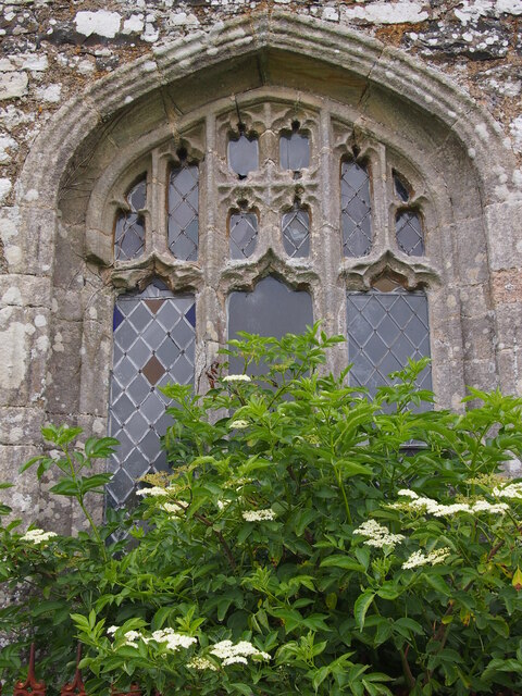
One of the notable landmarks in Bodffordd is the St. Michael's Church, which dates back to the 12th century. It is a beautiful example of medieval architecture and attracts visitors from near and far.
The economy of Bodffordd is largely agricultural, with many residents engaged in farming and related industries. The surrounding countryside is fertile and provides an ideal environment for farming activities.
The community also benefits from a range of amenities and services. There is a primary school, a community center, and a post office, providing essential services to the residents. Additionally, there are several small businesses, including shops and cafes, which cater to the needs of the local population.
Bodffordd is well-connected to the rest of Anglesey and beyond. The A5 road runs through the community, providing easy access to neighboring towns and cities. The nearby Bodffordd railway station also connects the village to the wider rail network.
Overall, Bodffordd is a charming and close-knit community with a rich history and a strong agricultural heritage. Its picturesque setting and range of amenities make it an attractive place to live for both locals and visitors alike.
If you have any feedback on the listing, please let us know in the comments section below.
Bodffordd Images
Images are sourced within 2km of 53.285721/-4.401307 or Grid Reference SH4079. Thanks to Geograph Open Source API. All images are credited.


![Converted windmill at Felin Newydd Felin Newydd [new mill] looks rather old, but in good condition as it appears to have been converted for domestic use. The question is, which square is it in, as it appears to be right on the grid line.](https://s1.geograph.org.uk/geophotos/06/62/30/6623097_99cf8787.jpg)


Bodffordd is located at Grid Ref: SH4079 (Lat: 53.285721, Lng: -4.401307)
Unitary Authority: Isle of Anglesey
Police Authority: North Wales
What 3 Words
///toward.smuggled.decisions. Near Llanerchymedd, Isle of Anglesey
Nearby Locations
Related Wikis

Glan-yr-afon, Bodffordd
Glan-yr-afon is a hamlet in the community of Bodffordd, Anglesey, Wales, which is 135 miles (217.3 km) from Cardiff and 218.1 miles (351 km) from London...
Llynfaes
Llynfaes is a hamlet in the community of Bodffordd, Anglesey, Wales, which is 134.3 miles (216.1 km) from Cardiff and 217.2 miles (349.5 km) from London...
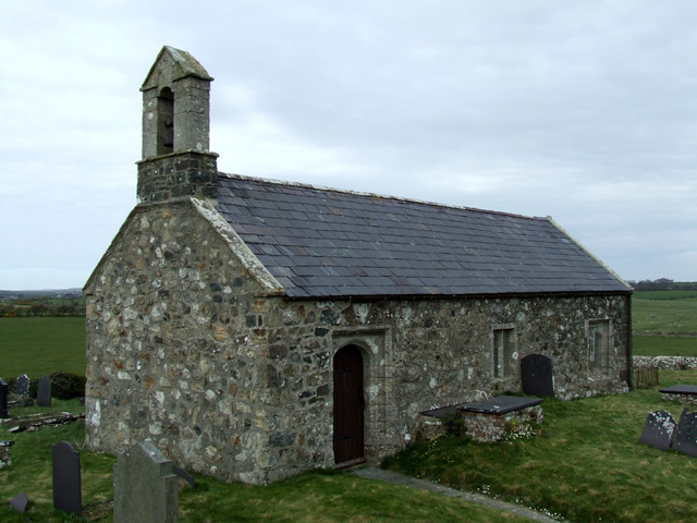
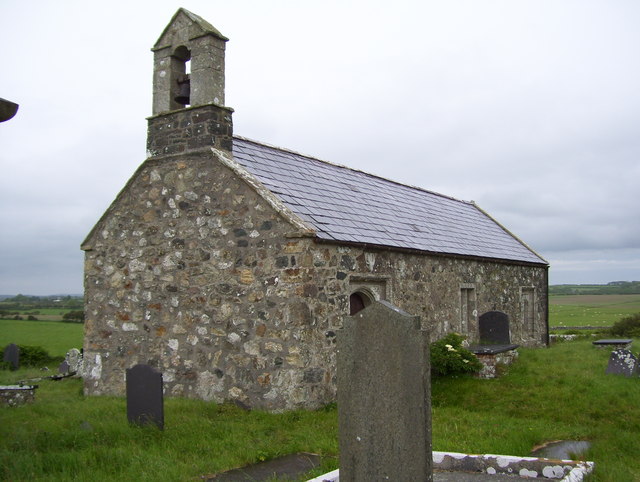
St Twrog's Church, Bodwrog
St Twrog's Church is a small rural church at Bodwrog in Anglesey, North Wales. Built in the late 15th century in a medieval style, some alterations have...

St Trygarn's Church, Llandrygarn
St Trygarn's Church is a Church in Wales parish church in the Diocese of Bangor which covers its location at Llandrygarn, Anglesey, Wales. It was built...
Cors Bodwrog
Cors Bodwrog is a mesotrophic mire and a Site of Special Scientific Interest (or SSSI) in Anglesey, North Wales. It has been designated as a Site of Special...
Tryfil
Tryfil is a hamlet in the community of Bodffordd, Anglesey, Wales, which is 135.9 miles (218.7 km) from Cardiff and 218.3 miles (351.3 km) from London...

St Cynfarwy's Church, Llechgynfarwy
St Cynfarwy's Church is a medieval parish church in Llechgynfarwy, Anglesey, north Wales. The first church in the vicinity was established by St Cynfarwy...

Ynys Môn (Senedd constituency)
Ynys Môn is a constituency of the Senedd. It elects one Member of the Senedd by the first past the post method of election. Also, however, it is one of...
Nearby Amenities
Located within 500m of 53.285721,-4.401307Have you been to Bodffordd?
Leave your review of Bodffordd below (or comments, questions and feedback).