Bodorgan
Community in Anglesey
Wales
Bodorgan
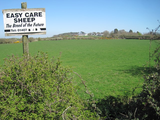
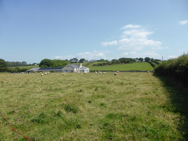
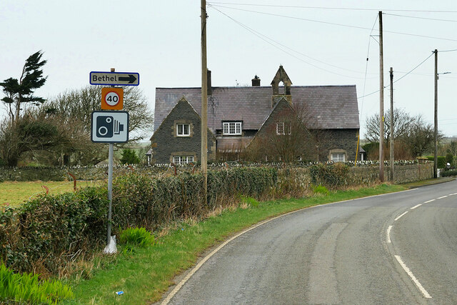
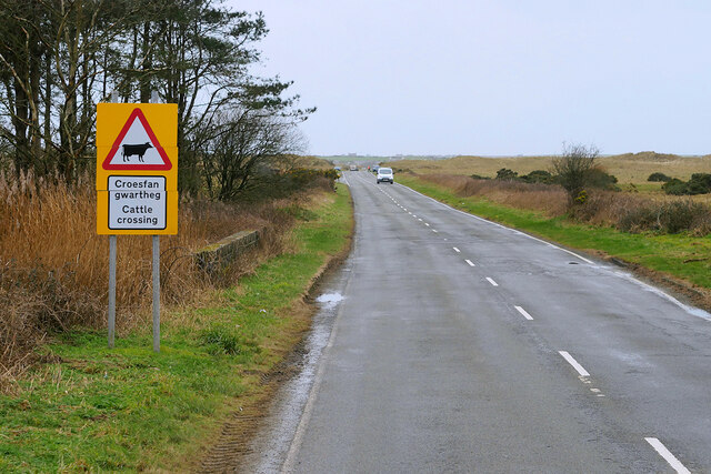
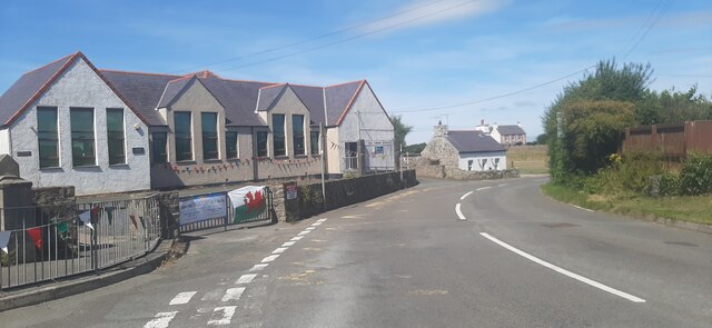
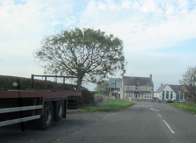
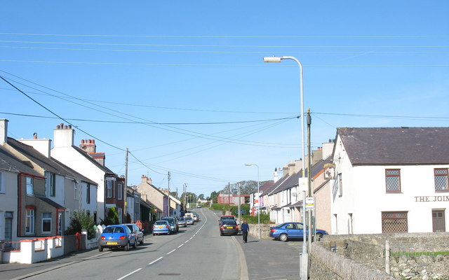
Bodorgan is a small and picturesque community located on the island of Anglesey in North Wales. Situated in the central part of the island, it covers an area of approximately 16.5 square kilometers. The community is surrounded by beautiful rural landscapes, with rolling hills, farmlands, and scattered cottages.
Bodorgan is known for its historic significance, with evidence of human settlement dating back to the Neolithic period. The area is home to several ancient burial chambers, standing stones, and other archaeological sites, which attract visitors interested in exploring the island's rich history.
Despite its rural setting, Bodorgan is well-connected to other parts of Anglesey. The nearby town of Llangefni is just a short drive away, offering a range of amenities such as shops, restaurants, and schools. Additionally, the community benefits from excellent transport links, with the A55 expressway easily accessible, providing convenient access to major cities like Bangor and Holyhead.
The village itself is characterized by a close-knit community spirit, with a local church, primary school, and community center serving as focal points for social activities. The area is also popular with outdoor enthusiasts, offering opportunities for walking, cycling, and enjoying the tranquility of the surrounding countryside.
Overall, Bodorgan is a charming and historic community that offers a peaceful retreat in the heart of Anglesey. With its beautiful scenery, strong sense of community, and convenient location, it is an attractive place to live or visit for those seeking a rural lifestyle.
If you have any feedback on the listing, please let us know in the comments section below.
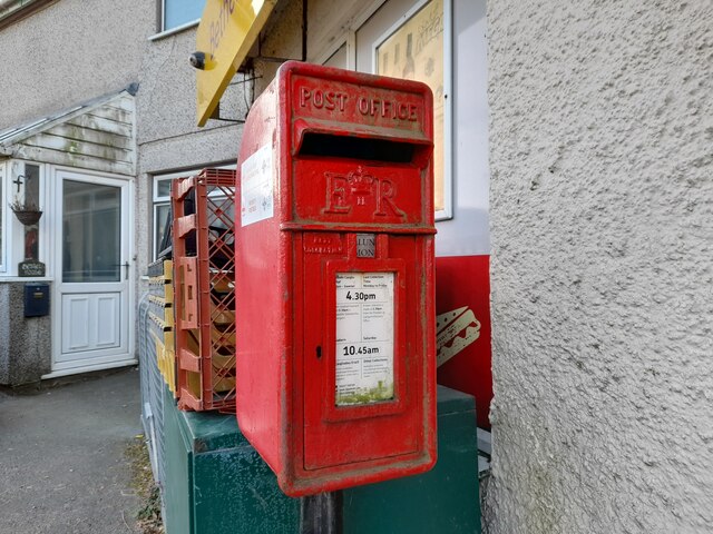
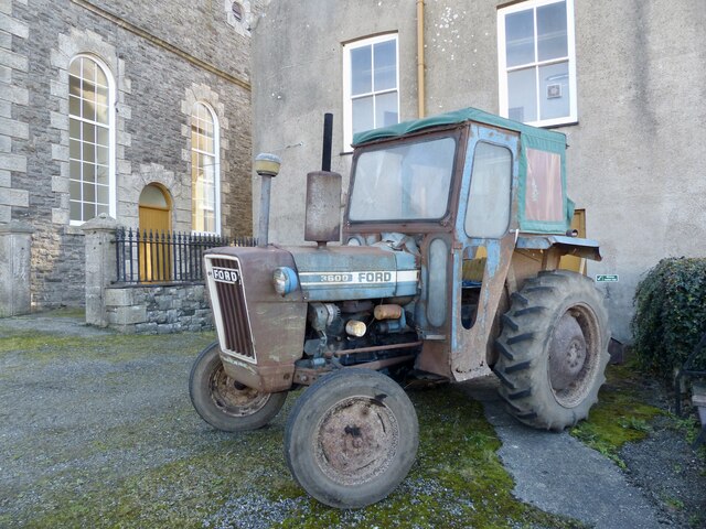
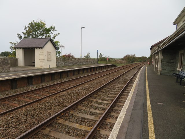
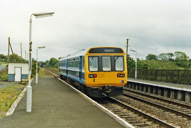
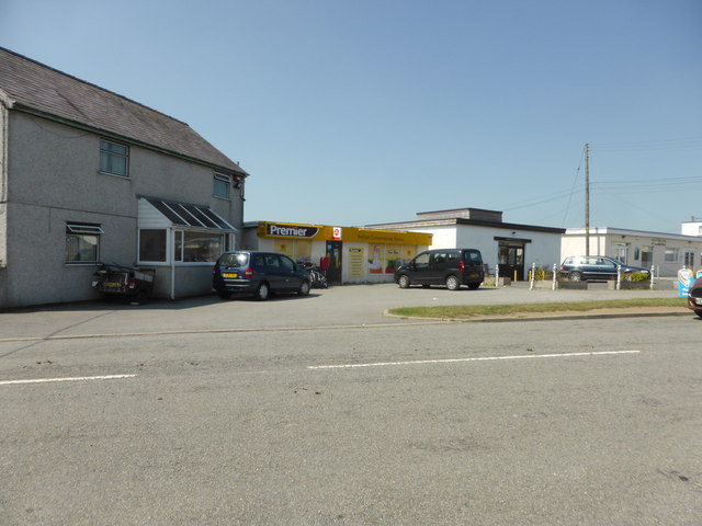
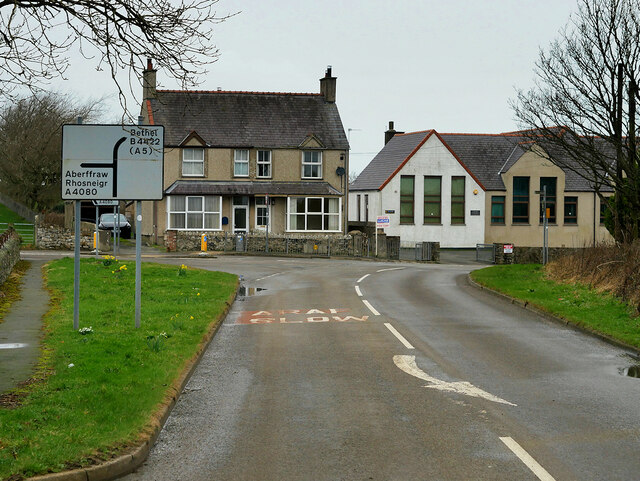
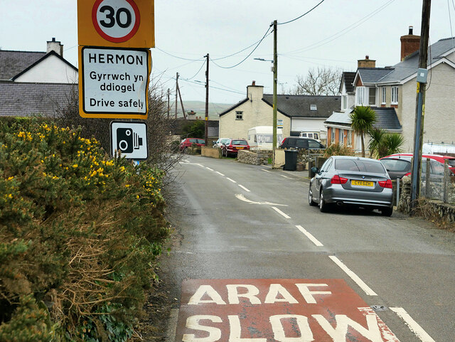
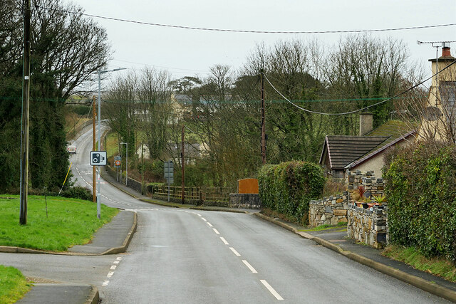
Bodorgan Images
Images are sourced within 2km of 53.192315/-4.408717 or Grid Reference SH3968. Thanks to Geograph Open Source API. All images are credited.

Bodorgan is located at Grid Ref: SH3968 (Lat: 53.192315, Lng: -4.408717)
Unitary Authority: Isle of Anglesey
Police Authority: North Wales
What 3 Words
///rides.apple.reflector. Near Rhosneigr, Isle of Anglesey
Nearby Locations
Related Wikis

Hermon, Anglesey
Hermon is a village in Anglesey, in north-west Wales. It is located roughly halfway between Newborough and Aberffraw, some 6 miles south-west of Llangefni...

St Cadwaladr's Church, Llangadwaladr
St Cadwaladr's Church (Welsh: Eglwys Ael) is a Grade I listed church in Llangadwaladr, Anglesey. The location of the current church was established in...
Llangadwaladr
Llangadwaladr () is a small village in south-west Anglesey, Wales, located around 2 miles east of Aberffraw and 3 miles south of Gwalchmai. It is part...
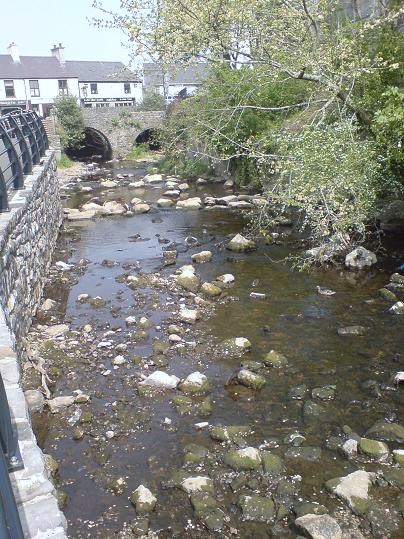
Afon Cefni
Afon Cefni is one of the major rivers on the island of Anglesey, Wales. It is 16.9 kilometres (11 mi) long. Its source is near to the village of Capel...

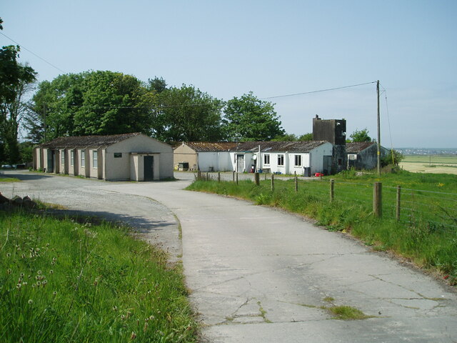
RAF Bodorgan
Royal Air Force Bodorgan, or more simply RAF Bodorgan, is a former Royal Air Force satellite airfield located near to Bodorgan Hall on the Isle of Anglesey...

Bodorgan
Bodorgan is a village and community on the Isle of Anglesey, Wales, United Kingdom. According to the 2001 Census, there were 1,503 residents in the now...
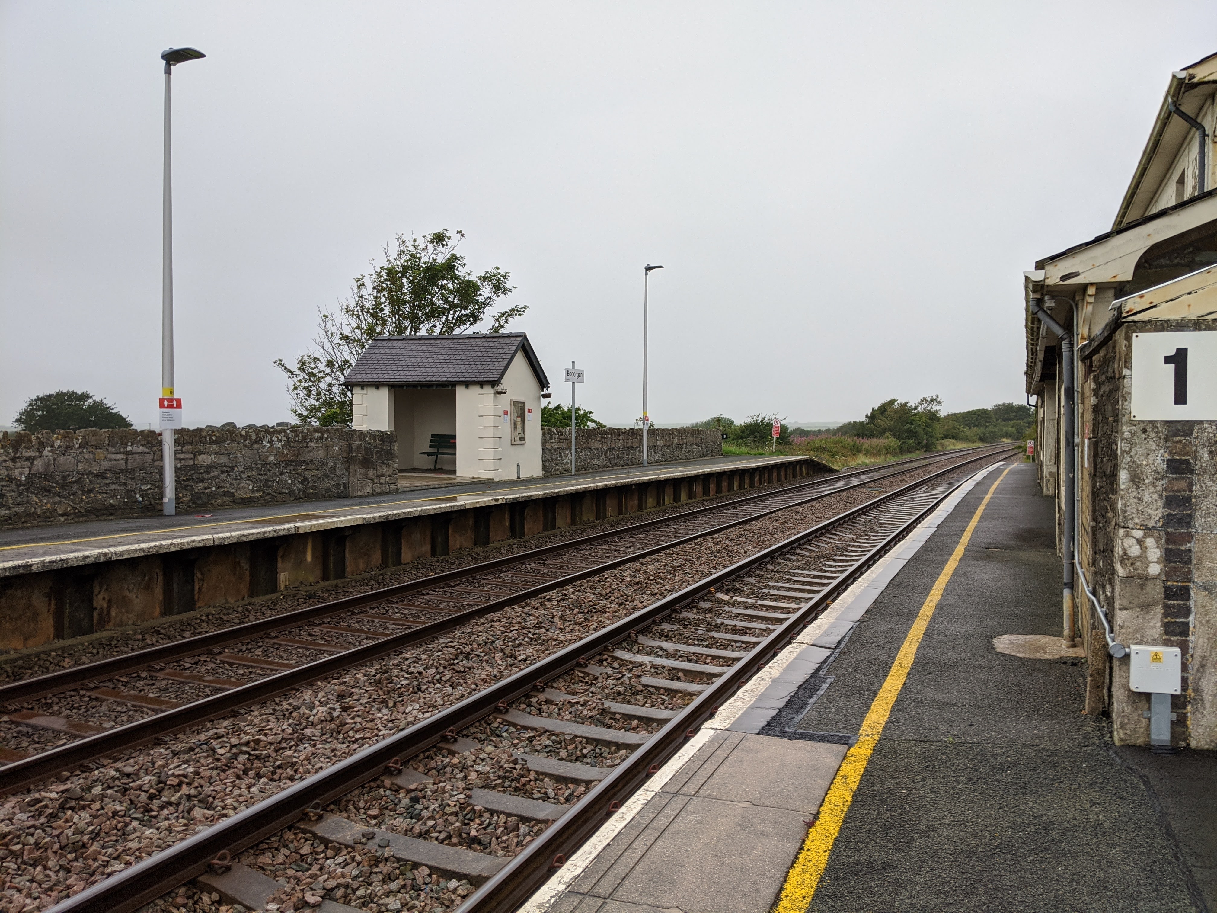
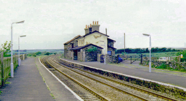
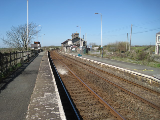
Bodorgan railway station
Bodorgan railway station serves the hamlet of Bodorgan and the village of Bethel on the Isle of Anglesey, Wales. The stop is an unmanned halt, and serves...
Malltraeth
Malltraeth (origin: Mall (corrupt, blasted, desolate, + Traeth (beach))) is a small village in the southwest of Anglesey, in the community of Bodorgan...
Nearby Amenities
Located within 500m of 53.192315,-4.408717Have you been to Bodorgan?
Leave your review of Bodorgan below (or comments, questions and feedback).