Watersheddings
Settlement in Lancashire
England
Watersheddings
Watersheddings is a former residential area located in Oldham, Lancashire, England. It is situated on the eastern side of the town, approximately 2 miles northeast of the town center. The area was historically known for its textile industry, which played a significant role in the town's economic development during the 19th and early 20th centuries.
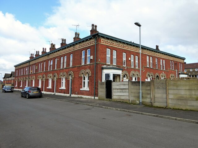
Watersheddings was primarily a working-class neighborhood, characterized by rows of terraced houses that were built to accommodate the growing number of mill workers and their families. The area had a strong sense of community, with local shops, schools, and places of worship serving the residents' needs.
In recent decades, Watersheddings has undergone significant changes. The decline of the textile industry led to the closure of many mills, resulting in a decrease in employment opportunities. As a result, the area experienced a decline in population and a shift in demographics.
Today, Watersheddings is primarily a residential area, with a mix of housing types ranging from traditional terraced houses to more modern developments. The community is well-connected, with easy access to public transport and nearby amenities. Despite the changes, the area retains glimpses of its industrial past, with some former mill buildings repurposed for alternative uses.
Overall, Watersheddings is a neighborhood that has evolved over time, adapting to the changing economic landscape while maintaining its sense of community.
If you have any feedback on the listing, please let us know in the comments section below.
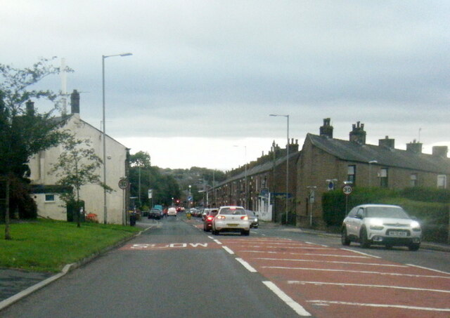
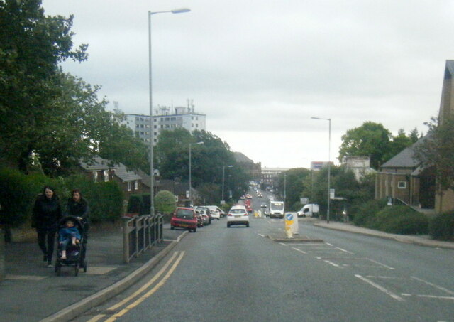
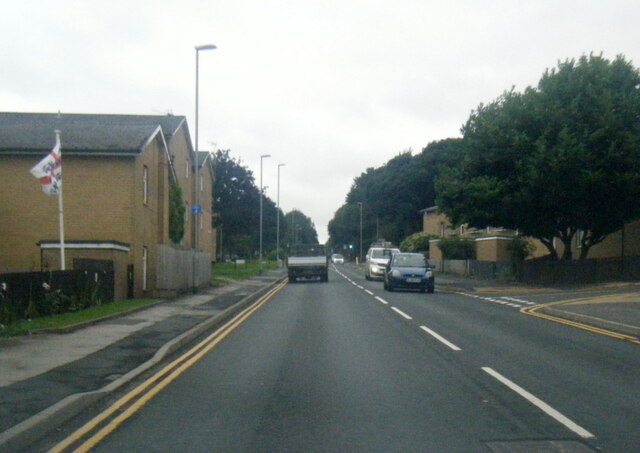
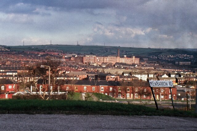
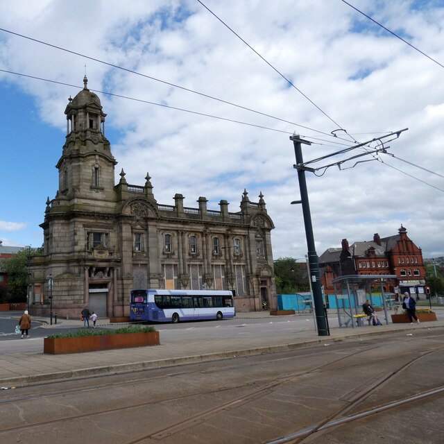
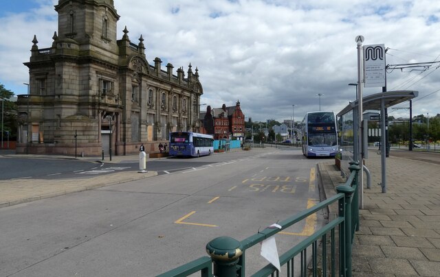
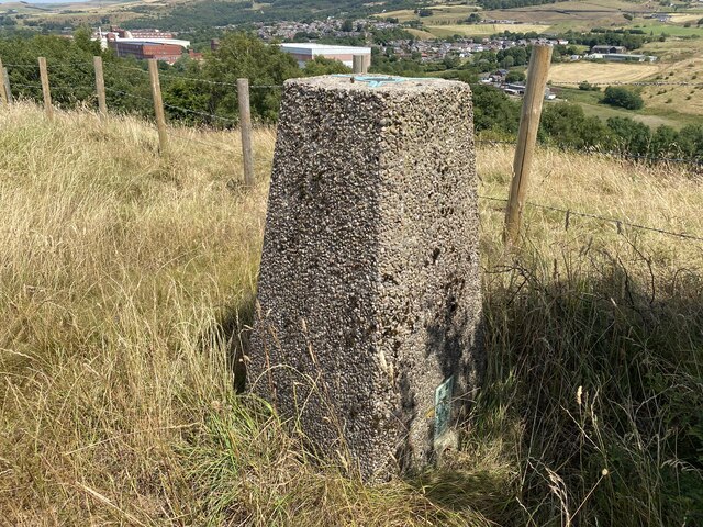
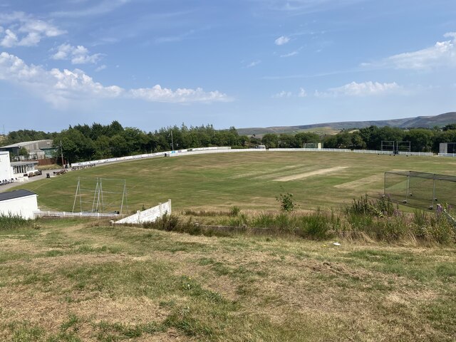
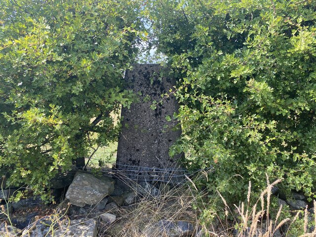
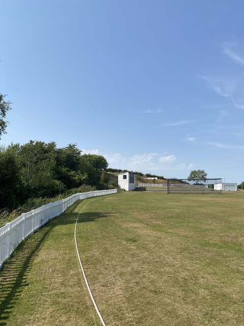
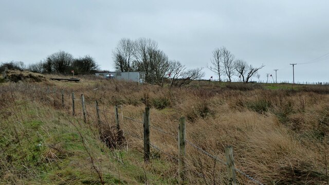
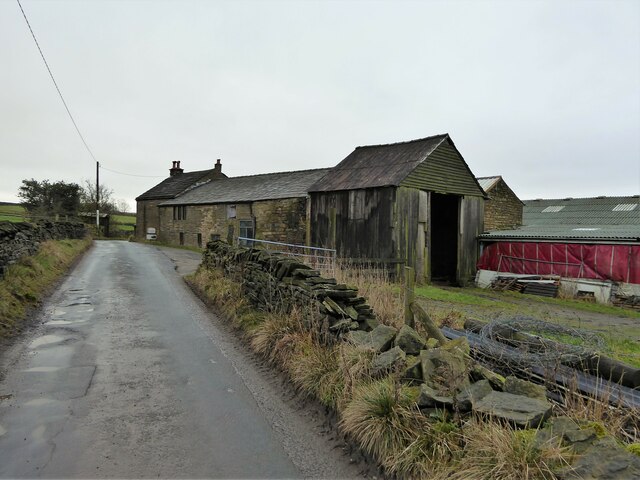
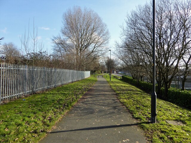
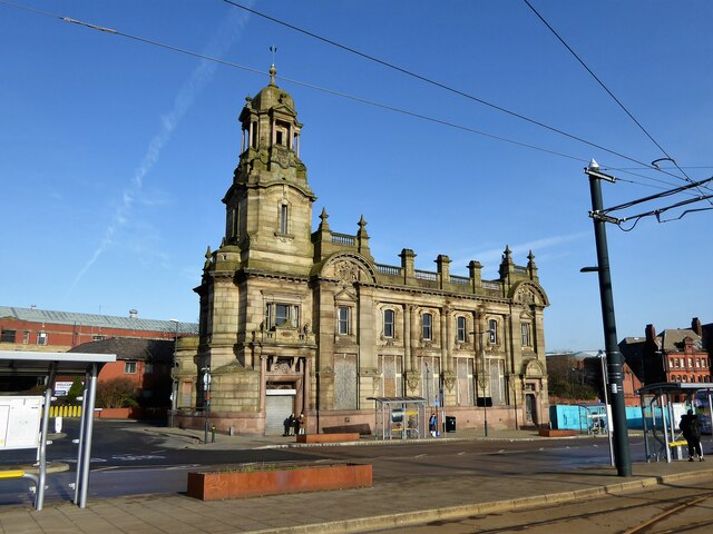
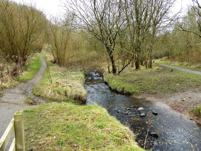
Watersheddings Images
Images are sourced within 2km of 53.554532/-2.0810041 or Grid Reference SD9406. Thanks to Geograph Open Source API. All images are credited.


Watersheddings is located at Grid Ref: SD9406 (Lat: 53.554532, Lng: -2.0810041)
Unitary Authority: Oldham
Police Authority: Greater Manchester
What 3 Words
///heave.token.tests. Near Shaw, Manchester
Nearby Locations
Related Wikis
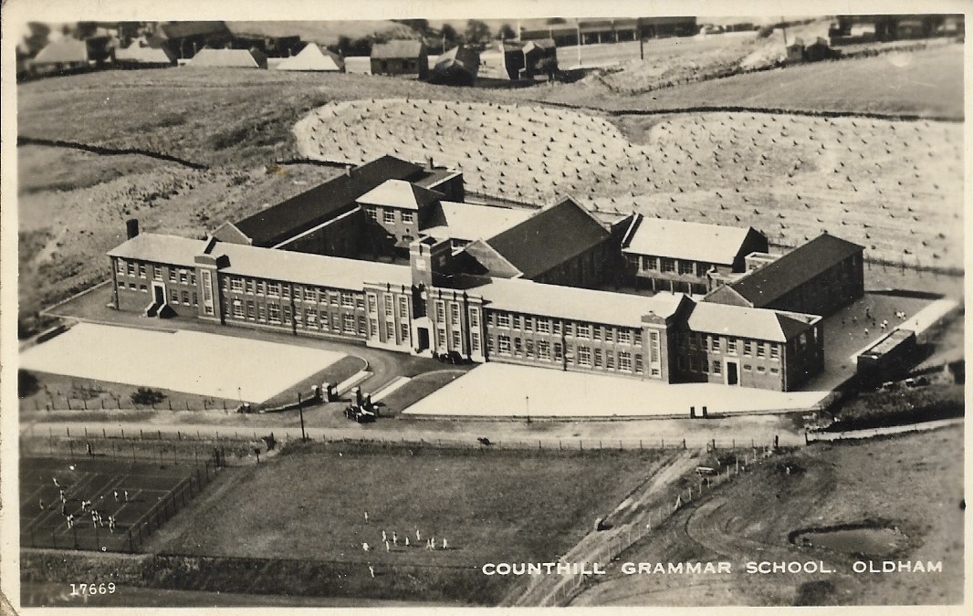
Counthill School
Counthill School formerly a high-achieving Grammar School, was a mixed gender secondary school for 11- to 16-year-olds in the Moorside area of Oldham in...

Kingsland School
Kingsland School is a pupil referral unit located on Broadbent Road, Watersheddings, Oldham.Kingsland School supports pupils, aged between 10 and 16, who...
Waterhead Academy
Waterhead Academy is a coeducational secondary school with academy status located in Oldham, Greater Manchester, England. The academy was taken out of...
Moorside, Greater Manchester
Moorside is a suburb of Oldham in Greater Manchester, England. It is located in the north east of the township in a semi-rural locality bordering Saddleworth...
Orme Mill, Waterhead
Orme Mill, Waterhead is a cotton spinning mill in Waterhead, Oldham, Greater Manchester, England. It was built in 1908. It was taken over by the Lancashire...

Waterhead, Greater Manchester
Waterhead (or archaically, Waterhead Mill), is an area of Oldham, and an electoral ward of the Metropolitan Borough of Oldham, in Greater Manchester, England...
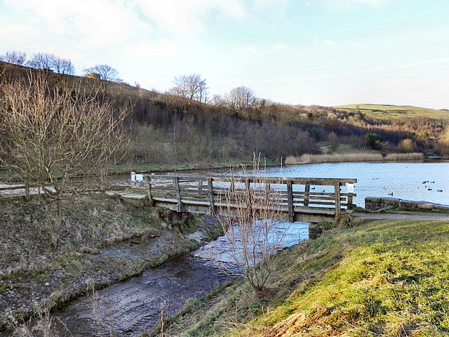
Strinesdale Reservoir
Strinesdale is a reservoir situated on the A62 between Oldham and Delph in Greater Manchester, England. The town of Rochdale is to the north and the town...
Greenacres, Greater Manchester
Greenacres , archaically Greenacres Moor, is an area of Oldham, in Greater Manchester, England. It lies on the west side of the River Medlock opposite...
Nearby Amenities
Located within 500m of 53.554532,-2.0810041Have you been to Watersheddings?
Leave your review of Watersheddings below (or comments, questions and feedback).