Near Barrowshaw
Settlement in Lancashire
England
Near Barrowshaw
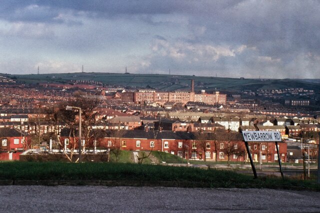
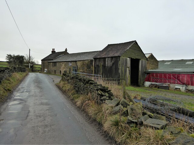
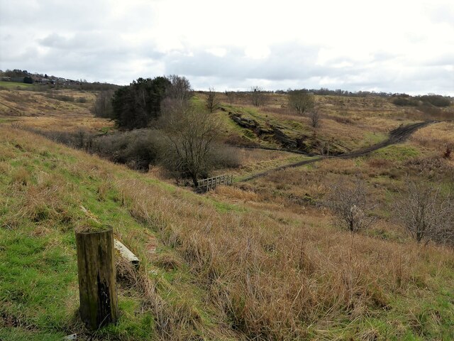
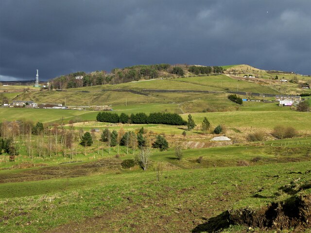
Near Barrowshaw is a small village located in the county of Lancashire, England. Situated in the picturesque countryside, it is nestled between rolling hills and surrounded by lush green fields. The village is part of the larger Barrowshaw area, which includes several other villages and hamlets.
Near Barrowshaw is known for its rural charm and tranquility. It is an ideal destination for those seeking a peaceful retreat away from the bustling city life. The village is characterized by its quaint cottages and traditional architecture, which adds to its timeless appeal.
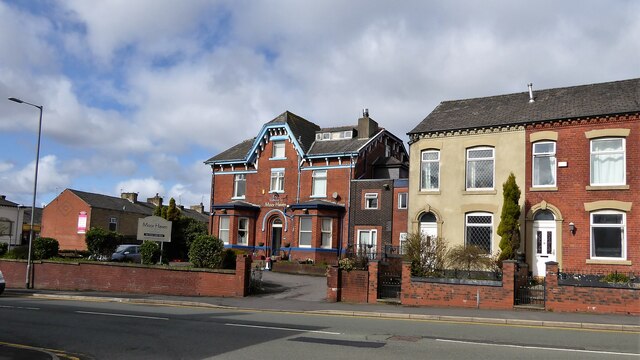
The village is home to a close-knit community that takes pride in its local heritage and traditions. It has a small primary school, a village hall, and a local church, which serves as a central gathering place for residents. The church also hosts various community events throughout the year, fostering a strong sense of camaraderie among the villagers.
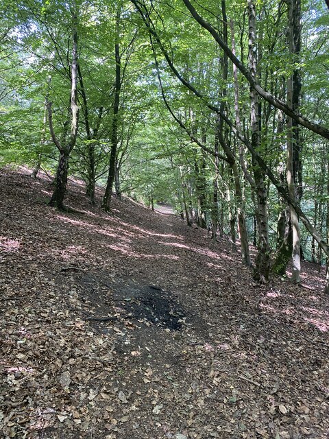
Nature enthusiasts will find plenty to explore in the surrounding countryside. Near Barrowshaw is located near several scenic walking and cycling trails, offering breathtaking views of the Lancashire landscape. The village is also within close proximity to Barrowshaw Forest, a nature reserve that boasts a diverse range of flora and fauna.
Despite its rural setting, Near Barrowshaw is conveniently located within a short driving distance to larger towns and cities, providing easy access to a wider range of amenities and services. Overall, Near Barrowshaw offers a tranquil and idyllic setting for those seeking a peaceful rural lifestyle.
If you have any feedback on the listing, please let us know in the comments section below.
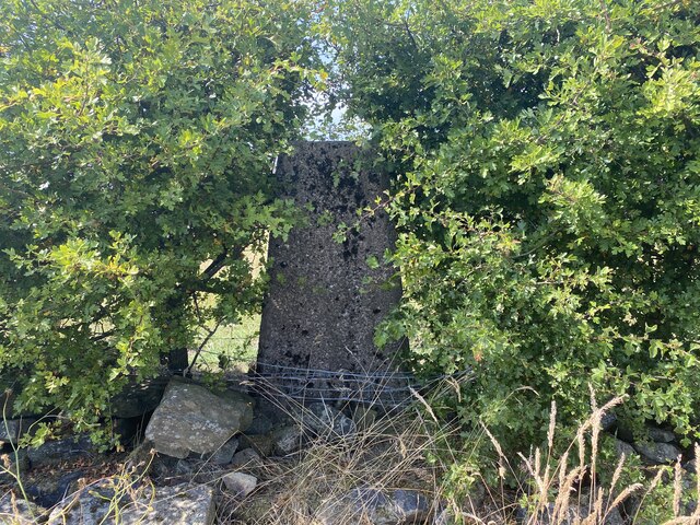
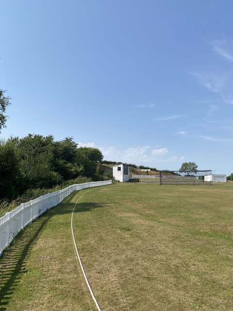
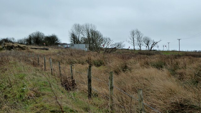
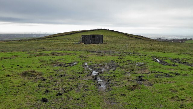
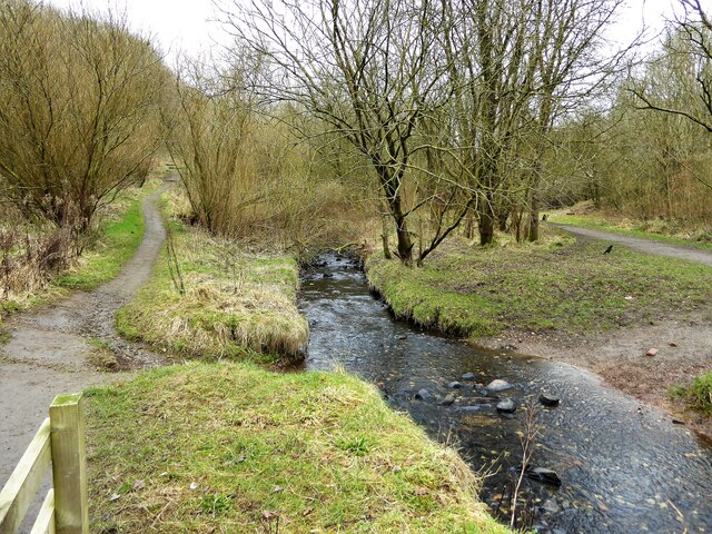
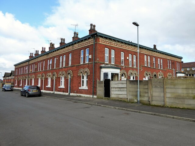
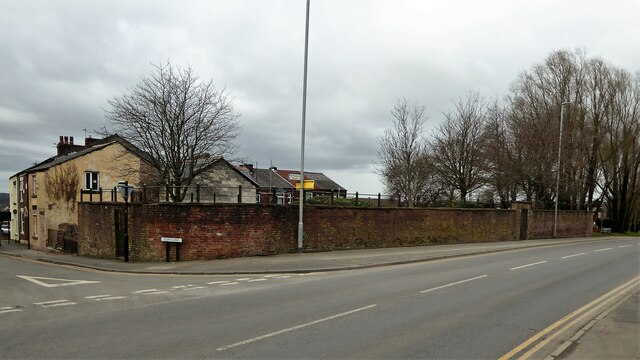
Near Barrowshaw Images
Images are sourced within 2km of 53.555694/-2.0780326 or Grid Reference SD9406. Thanks to Geograph Open Source API. All images are credited.


Near Barrowshaw is located at Grid Ref: SD9406 (Lat: 53.555694, Lng: -2.0780326)
Unitary Authority: Oldham
Police Authority: Greater Manchester
What 3 Words
///ruins.lights.scenes. Near Shaw, Manchester
Nearby Locations
Related Wikis
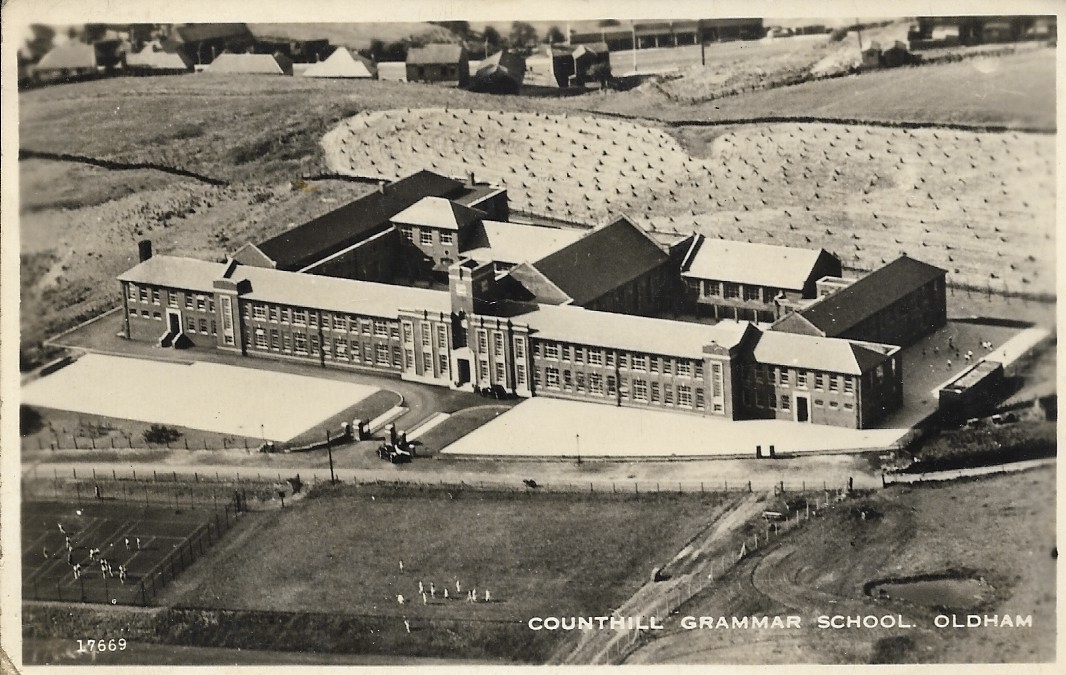
Counthill School
Counthill School formerly a high-achieving Grammar School, was a mixed gender secondary school for 11- to 16-year-olds in the Moorside area of Oldham in...

Moorside, Greater Manchester
Moorside is a suburb of Oldham in Greater Manchester, England. It is located in the north east of the township in a semi-rural locality bordering Saddleworth...
Kingsland School
Kingsland School is a pupil referral unit located on Broadbent Road, Watersheddings, Oldham. Kingsland School supports pupils, aged between 10 and 16,...
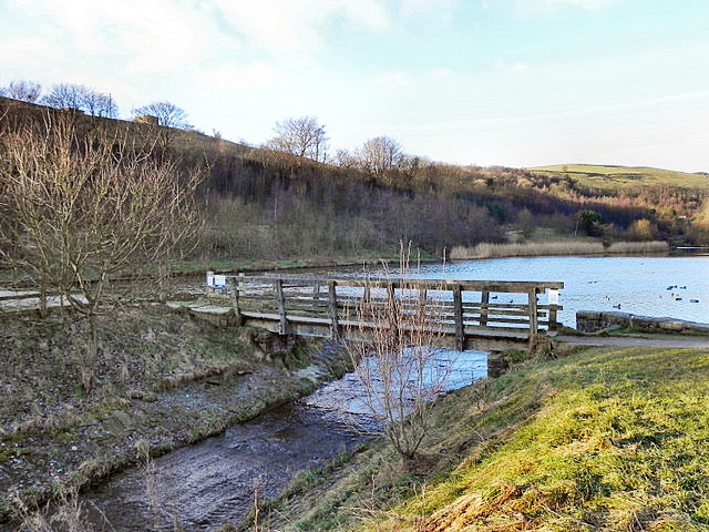
Strinesdale Reservoir
Strinesdale is a reservoir situated on the A62 between Oldham and Delph in Greater Manchester, England. The town of Rochdale is to the north and the town...
Nearby Amenities
Located within 500m of 53.555694,-2.0780326Have you been to Near Barrowshaw?
Leave your review of Near Barrowshaw below (or comments, questions and feedback).