Broadbent Moss

Downs, Moorland in Lancashire

England

Broadbent Moss

A672 Ripponden Road at Sholver Lane
A672 Ripponden Road at Sholver Lane Credit: Colin Pyle

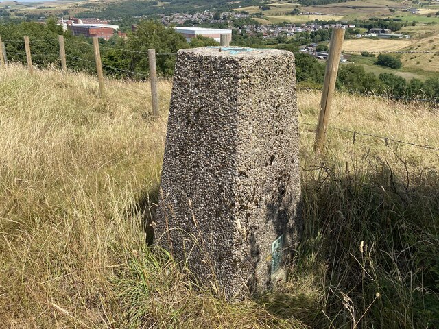
Broadbent Moss is a picturesque area located in Lancashire, England. Situated on the outskirts of the town of Broadbent, it is known for its diverse landscape, encompassing downs, moorland, and moss. Spanning approximately 500 acres, this natural haven offers a tranquil retreat for nature enthusiasts and hikers alike.

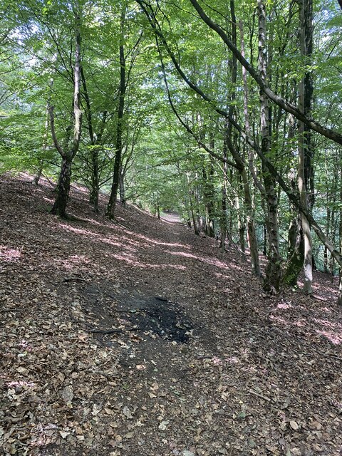
The downs of Broadbent Moss provide panoramic views of the surrounding countryside, with rolling hills and lush greenery stretching as far as the eye can see. These gentle slopes offer a serene setting for leisurely walks and picnics, allowing visitors to immerse themselves in the beauty of the land.

The moorland in Broadbent Moss is characterized by its heather-covered expanses, creating a striking purple hue during the summer months. This rugged terrain is home to a variety of wildlife, including birds, rabbits, and occasional deer. Birdwatchers flock to this area to catch a glimpse of species such as curlews, lapwings, and kestrels.

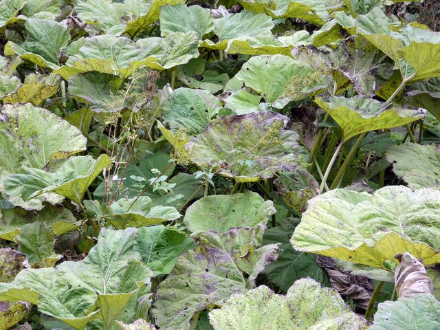
The mosslands of Broadbent Moss add another dimension to its natural charm. These damp areas are dotted with peat bogs and provide a unique habitat for marshland plants and insects. The mosslands also play a crucial role in water storage and filtration, contributing to the overall health of the local ecosystem.

Broadbent Moss, Lancashire, offers a diverse range of landscapes, captivating visitors with its natural beauty and tranquility. Whether exploring the downs, moorland, or mosslands, this enchanting area provides a respite from the hustle and bustle of everyday life.

If you have any feedback on the listing, please let us know in the comments section below.

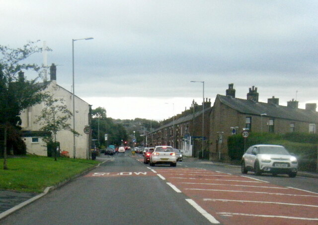
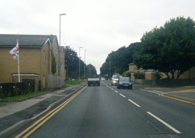
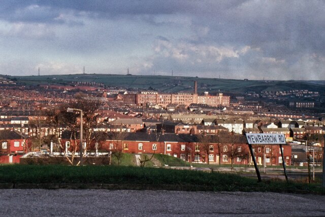
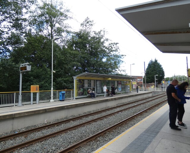
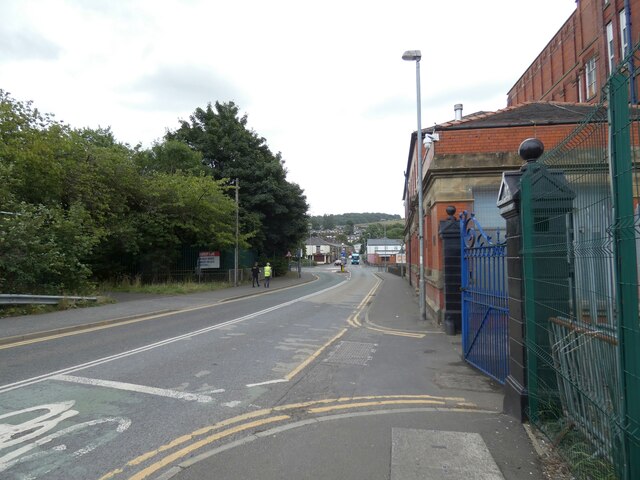
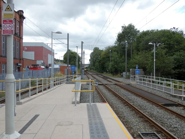
Broadbent Moss Images

Images are sourced within 2km of 53.558859/-2.0886661 or Grid Reference SD9406. Thanks to Geograph Open Source API. All images are credited.

A672 Ripponden Road at Sholver Lane
A672 Ripponden Road at Collett Street
Egerton Street at Bridgewater Street, Mumps
Derker Mills, Oldham
East Didsbury tram at Shaw and Crompton
Shaw and Crompton Tram Stop 
The Metrolink tram stop is on the converted railway line from Oldham Mumps. The old railway station was on the north side of Beal Lane level crossing. The new Metrolink station was created on the south side of the crossing. On the right is a siding for trams terminating here <a href="https://www.geograph.org.uk/photo/7262224">SD9408 : East Didsbury tram at Shaw and Crompton</a>.
Shaw and Crompton Tram Stop
The Metrolink tram stop is on the converted railway line from Oldham Mumps. The old railway station was on the north side of Beal Lane level crossing. The new Metrolink station was created on the south side of the crossing. On the right is a siding for trams terminating here SD9408 : East Didsbury tram at Shaw and Crompton.
Beal Lane
Beal Lane
Rises Private Day Nursery 
Founded in 2003. A  mural on the outside  is mostly obscured by parked cars, alas, and one section appears to have been damaged.
Rises Private Day Nursery
Founded in 2003. A mural on the outside is mostly obscured by parked cars, alas, and one section appears to have been damaged.
Shaw and Crompton Tram Stop Looking down the line towards Oldham.

On the right are some large-leafed plants <a href="https://www.geograph.org.uk/photo/7262950">SD9408 : Butterbur (Petasites hybridus)</a>.
Shaw and Crompton Tram Stop
Looking down the line towards Oldham. On the right are some large-leafed plants SD9408 : Butterbur (Petasites hybridus).
Butterbur (Petasites hybridus) By the side of Shaw and Crompton Tram Stop <a href="https://www.geograph.org.uk/photo/7262944">SD9408 : Shaw and Crompton Tram Stop</a>.

Apparently the leaves of this plant were once used for wrapping butter. Other common names include  Bog rhubarb, Devil's hat, Pestilence wart, Batter dock, Butter dock, Cleats, Cleets, Flea dock, Gallon, Oxwort, Pestilence wort, Poison rhubarb, Son-before-the-father, Umbrella leaf, Water docken.
Butterbur (Petasites hybridus)
By the side of Shaw and Crompton Tram Stop SD9408 : Shaw and Crompton Tram Stop. Apparently the leaves of this plant were once used for wrapping butter. Other common names include Bog rhubarb, Devil's hat, Pestilence wart, Batter dock, Butter dock, Cleats, Cleets, Flea dock, Gallon, Oxwort, Pestilence wort, Poison rhubarb, Son-before-the-father, Umbrella leaf, Water docken.
Shaw and Crompton Tram Stop 
The approaching tram is negotiating points that will lead it onto the track to the left. It is on a service from East Didsbury via Exchange Square and Oldham which will terminate here <a href="https://www.geograph.org.uk/photo/7262224">SD9408 : East Didsbury tram at Shaw and Crompton</a>. The tracks on the right are for those going on to Rochdale.
Shaw and Crompton Tram Stop
The approaching tram is negotiating points that will lead it onto the track to the left. It is on a service from East Didsbury via Exchange Square and Oldham which will terminate here SD9408 : East Didsbury tram at Shaw and Crompton. The tracks on the right are for those going on to Rochdale.
Woodland
Woodland
Birshaw Trig Point Flush Bracket S2772
Twingates Community Nature Area Sign
Duke Mill, Shaw One of the few former cotton spinning mills left in Shaw. The mill was built in 1883 and in 1915 had 70,380 spindles turned by a 900 horsepower steam engine by Woolstenhulmes & Rye of Oldham. The former engine house is on the left with the big round headed former window with blue infill. It was latterly used as a furniture company but I believe it is on the market. The building appears in fair order.

The two big windows bottom right are the engine house of Briar Mill.
Duke Mill, Shaw
One of the few former cotton spinning mills left in Shaw. The mill was built in 1883 and in 1915 had 70,380 spindles turned by a 900 horsepower steam engine by Woolstenhulmes & Rye of Oldham. The former engine house is on the left with the big round headed former window with blue infill. It was latterly used as a furniture company but I believe it is on the market. The building appears in fair order. The two big windows bottom right are the engine house of Briar Mill.
Duke Mill, Shaw One of the few former cotton spinning mills left in Shaw. The mill was built in 1883 and in 1915 had 70,380 spindles turned by a 900 horsepower steam engine by Woolstenhulmes & Rye of Oldham that was located in the lower section on the right. Seen across the lower and closer of two lodges in this corner of Shaw. It took me quite a while to discover this view and the view across the upper lodge too. The mill has been used by a furniture company but is now (February 2023) on sale.
Duke Mill, Shaw
One of the few former cotton spinning mills left in Shaw. The mill was built in 1883 and in 1915 had 70,380 spindles turned by a 900 horsepower steam engine by Woolstenhulmes & Rye of Oldham that was located in the lower section on the right. Seen across the lower and closer of two lodges in this corner of Shaw. It took me quite a while to discover this view and the view across the upper lodge too. The mill has been used by a furniture company but is now (February 2023) on sale.
Duke Mill, Shaw One of the few former cotton spinning mills left in Shaw. The mill was built in 1883 and in 1915 had 70,380 spindles turned by a 900 horsepower steam engine by Woolstenhulmes & Rye of Oldham that was located in the lower section on the right. Seen across the upper and further away of two lodges in this corner of Shaw. It took me quite a while to discover this view. The mill has been used by a furniture company but is now (February 2023) on sale.
Duke Mill, Shaw
One of the few former cotton spinning mills left in Shaw. The mill was built in 1883 and in 1915 had 70,380 spindles turned by a 900 horsepower steam engine by Woolstenhulmes & Rye of Oldham that was located in the lower section on the right. Seen across the upper and further away of two lodges in this corner of Shaw. It took me quite a while to discover this view. The mill has been used by a furniture company but is now (February 2023) on sale.
Duke Mill, Shaw One of the few former cotton spinning mills left in Shaw. The mill was built in 1883 and in 1915 had 70,380 spindles turned by a 900 horsepower steam engine by Woolstenhulmes & Rye of Oldham that was located in the lower section on the right.  The mill has been used by a furniture company but is now (February 2023) on sale. It looks in fair order and I hope that it will not be replaced by yet more houses.
Duke Mill, Shaw
One of the few former cotton spinning mills left in Shaw. The mill was built in 1883 and in 1915 had 70,380 spindles turned by a 900 horsepower steam engine by Woolstenhulmes & Rye of Oldham that was located in the lower section on the right. The mill has been used by a furniture company but is now (February 2023) on sale. It looks in fair order and I hope that it will not be replaced by yet more houses.
Show me another place!

Broadbent Moss is located at Grid Ref: SD9406 (Lat: 53.558859, Lng: -2.0886661)

Unitary Authority: Oldham

Police Authority: Greater Manchester

What 3 Words

///twin.successes.wakes. Near Shaw, Manchester

Related Wikis

Kingsland School

Kingsland School is a pupil referral unit located on Broadbent Road, Watersheddings, Oldham.Kingsland School supports pupils, aged between 10 and 16, who...

Cop Road tram stop

Cop Road is a proposed tram stop on the Oldham and Rochdale Line of Greater Manchester's Metrolink light rail system. It is to be located between Derker...
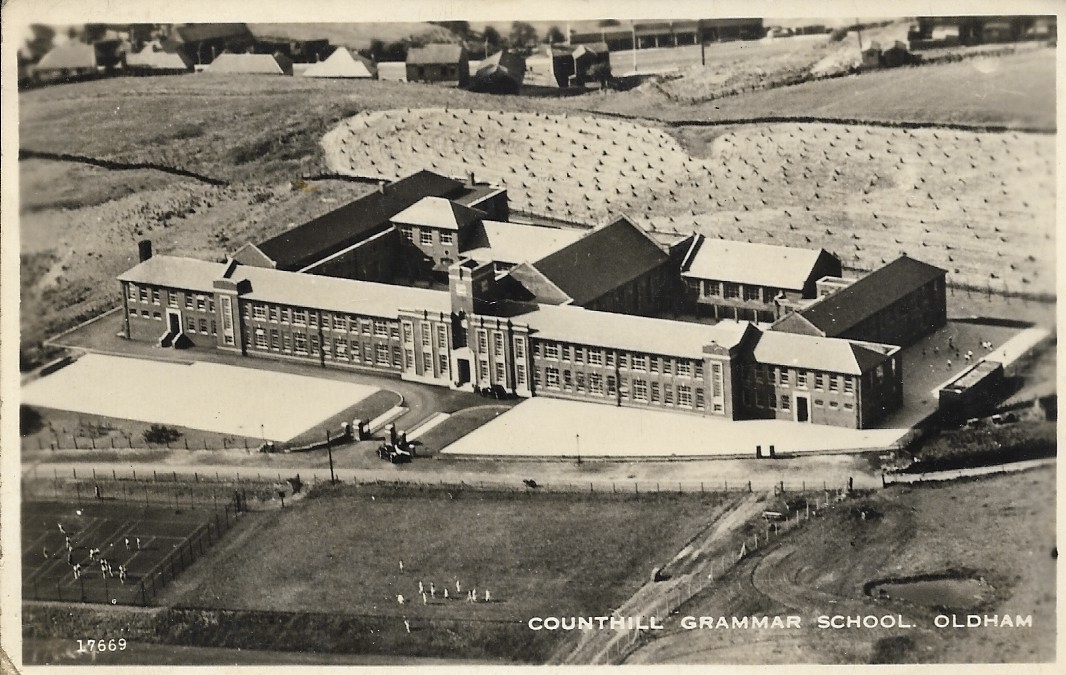
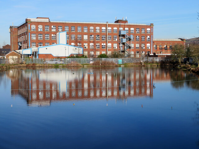
Counthill School

Counthill School formerly a high-achieving Grammar School, was a mixed gender secondary school for 11- to 16-year-olds in the Moorside area of Oldham in...

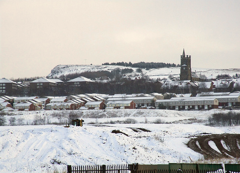
Moorside, Greater Manchester

Moorside is a suburb of Oldham in Greater Manchester, England. It is located in the north east of the township in a semi-rural locality bordering Saddleworth...

Royton Junction railway station

Royton Junction railway station was a station on the Oldham Loop Line in Greater Manchester, England. It opened on 1 July 1864, and was the junction for...
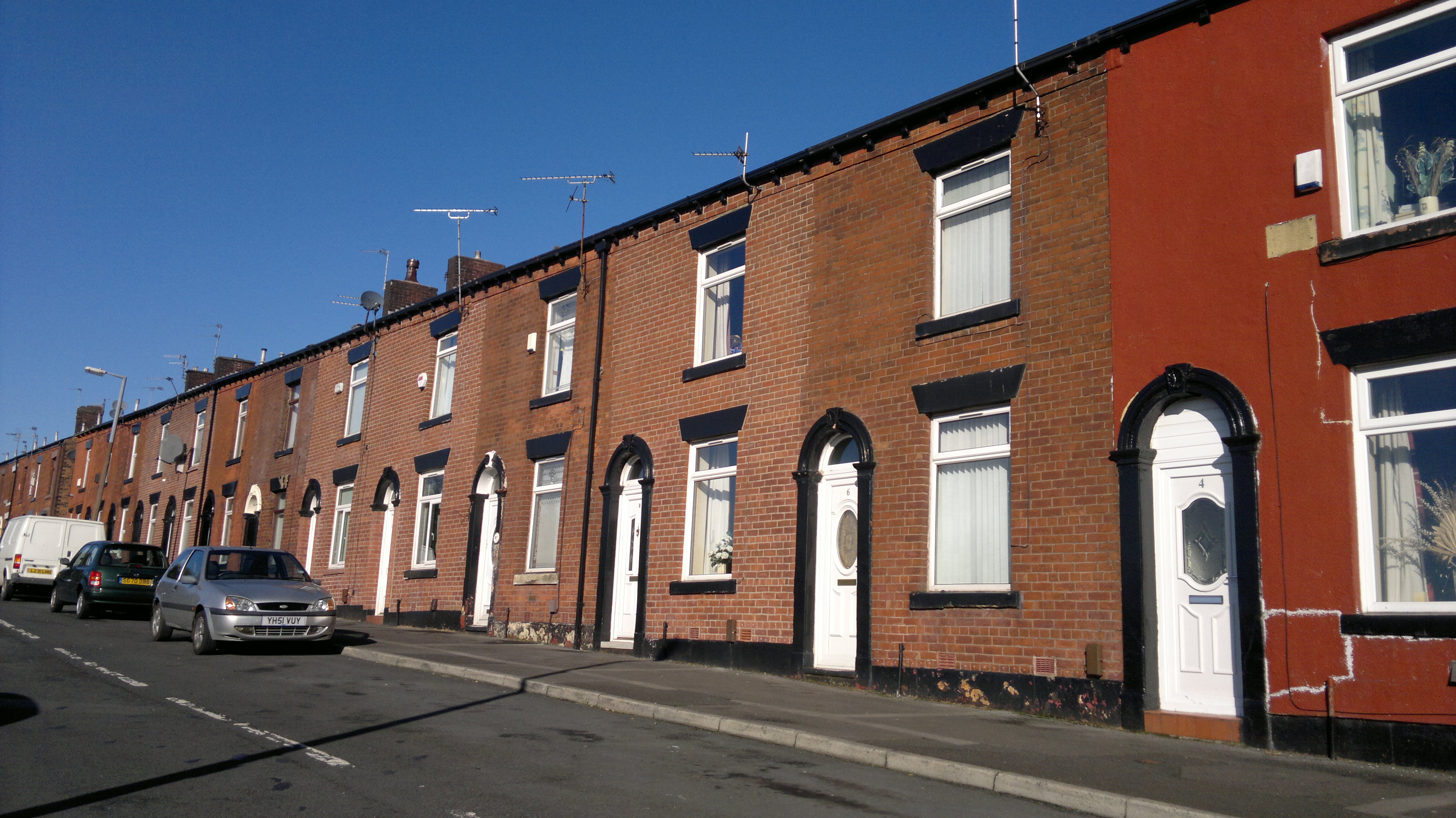
Sholver

Sholver is an area of Oldham, in Greater Manchester, England. An elevated, residential area, it lies near the middle of the Oldham part of the valley of...

Derker

Derker is an area of Oldham, in Greater Manchester, England. It lies in north-central Oldham, close to the boundary with Royton. == History == Historically...

Waterhead, Greater Manchester

Waterhead (or archaically, Waterhead Mill), is an area of Oldham, and an electoral ward of the Metropolitan Borough of Oldham, in Greater Manchester, England...

Nearby Amenities

Located within 500m of 53.558859,-2.0886661
Turning Circle
Whetstone Hill Close
Lat/Long: 53.5554725/-2.0920731
Railway: crossing
Lat/Long: 53.5593654/-2.0956043
Railway: crossing
Lat/Long: 53.559384/-2.0956602
Natural: spring
Lat/Long: 53.5565822/-2.0869482
The data included in this document is from www.openstreetmap.org. The data is made available under ODbL.

Have you been to Broadbent Moss?

Leave your review of Broadbent Moss below (or comments, questions and feedback).