Hawshaw Moor
Downs, Moorland in Yorkshire Craven
England
Hawshaw Moor

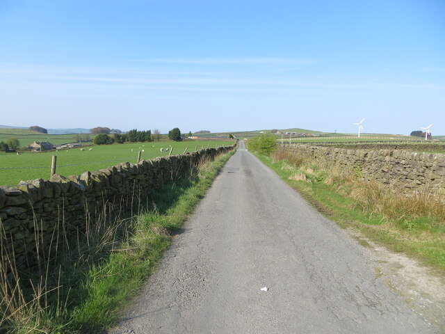
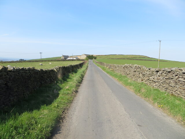
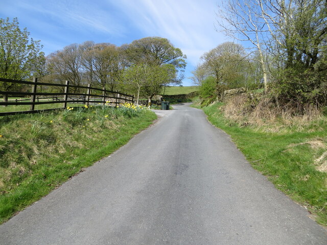
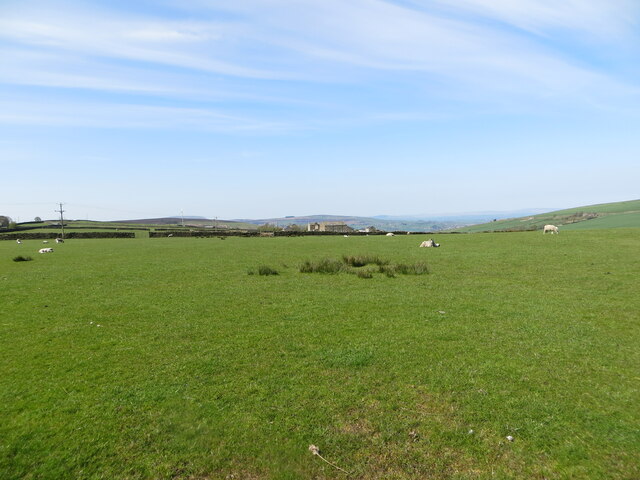
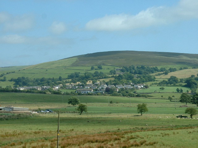
Hawshaw Moor is a picturesque expanse of moorland located in the county of Yorkshire, England. Nestled within the scenic landscape of the Yorkshire Downs, it covers an area of approximately 300 acres and offers a diverse range of natural features.
The moorland is characterized by its undulating terrain, with rolling hills and vast open spaces. Heather and bracken dominate the vegetation, creating a vibrant mosaic of colors throughout the year. The area is also home to a variety of plant species, including cotton grass and bilberry, which thrive in the acidic soil.
Hawshaw Moor boasts a rich biodiversity, attracting a wide array of wildlife. Visitors may spot birds of prey such as buzzards and kestrels soaring above, while smaller species like skylarks can be heard singing their melodic tunes. The moorland is also known for its resident mammals, including rabbits, hares, and occasionally red deer.
The area offers numerous opportunities for outdoor activities and exploration. Hiking enthusiasts can traverse the network of footpaths that crisscross the moor, providing breathtaking views of the surrounding countryside. Additionally, the moorland is intersected by babbling streams, adding to its charm and providing a habitat for aquatic life.
Hawshaw Moor has a rich cultural history, with evidence of prehistoric settlements and ancient burial mounds scattered across the landscape. These remnants of the past add an intriguing aspect to the moor, inviting visitors to delve into its intriguing history.
Overall, Hawshaw Moor is a captivating and diverse area, offering visitors a chance to immerse themselves in the stunning natural beauty and rich heritage of Yorkshire's countryside.
If you have any feedback on the listing, please let us know in the comments section below.
Hawshaw Moor Images
Images are sourced within 2km of 53.896837/-2.0885908 or Grid Reference SD9444. Thanks to Geograph Open Source API. All images are credited.


Hawshaw Moor is located at Grid Ref: SD9444 (Lat: 53.896837, Lng: -2.0885908)
Division: West Riding
Administrative County: North Yorkshire
District: Craven
Police Authority: North Yorkshire
What 3 Words
///recur.spared.monks. Near Earby, Lancashire
Nearby Locations
Related Wikis

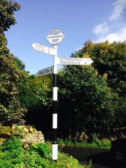
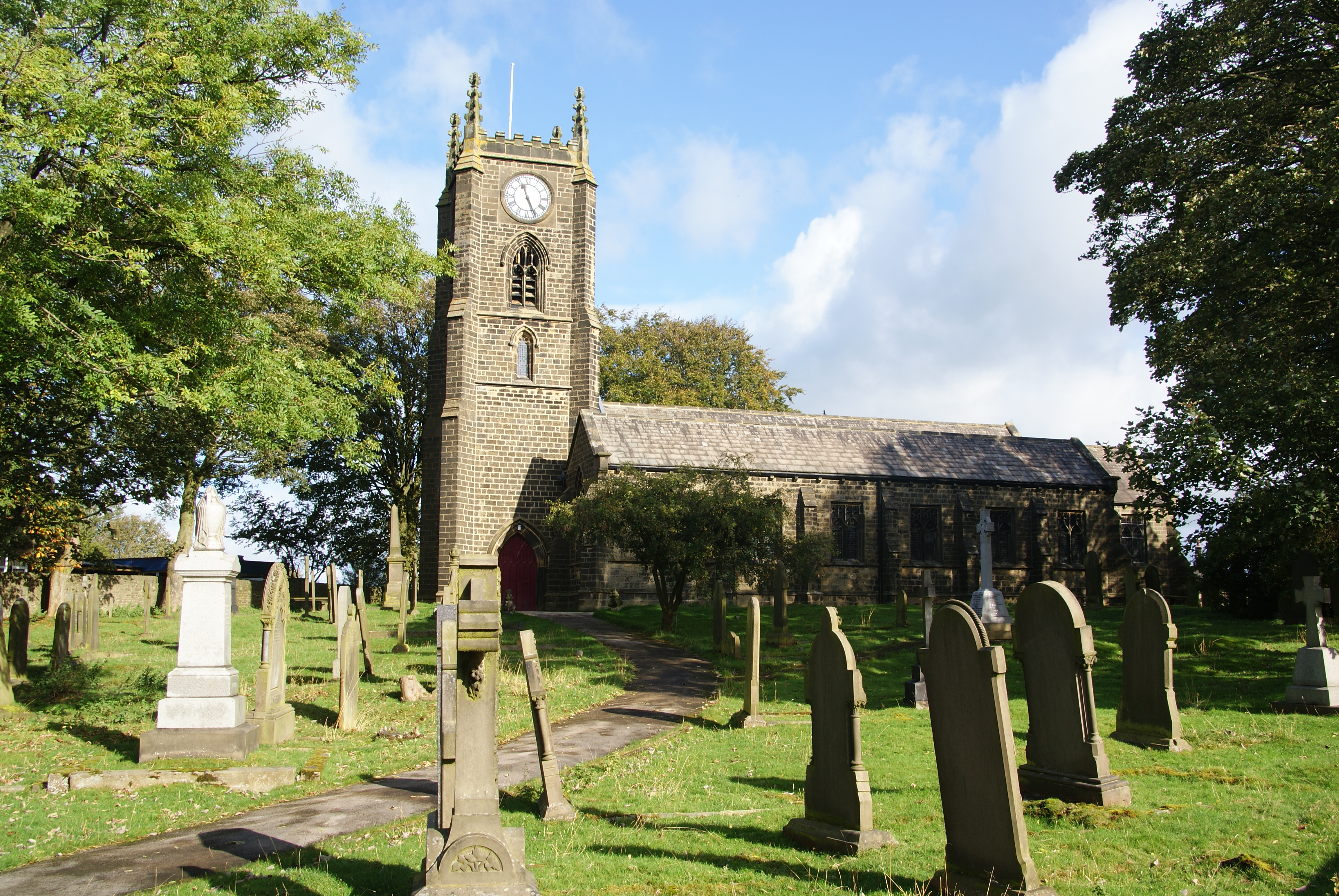
Lothersdale
Lothersdale is a small village and civil parish in the former Craven district of North Yorkshire, England, near Skipton and within the triangle formed...

Stone Gappe
Stone Gappe is an 18th-century house in Lothersdale, North Yorkshire, England; it is a Grade II* listed building. == Construction == The house was constructed...

Middleton, Cowling
Middleton is a hamlet in the Craven district of North Yorkshire, England, part of the civil parish of Cowling. It is near the border with West Yorkshire...
Cowling, Craven
Cowling is a village, electoral division and civil parish in the Craven district of North Yorkshire, England. It is situated on the borders with the adjacent...
Kelbrook
Kelbrook is a village in the civil parish of Kelbrook and Sough, Borough of Pendle, in Lancashire, England. It lies on the A56 road between Colne and Earby...

Sough, Lancashire
Sough is a hamlet, in Lancashire, England. Sough is located east of the main A56 road between Earby and Kelbrook; it is in the area known as West Craven...

Kelbrook and Sough
Kelbrook and Sough is a civil parish in the Pendle district of Lancashire, England. It has a population of 1,008, and contains the village of Kelbrook...

Earby
Earby is a town and civil parish within the Borough of Pendle, Lancashire, England. Although within the boundaries of the historic West Riding of Yorkshire...
Nearby Amenities
Located within 500m of 53.896837,-2.0885908Have you been to Hawshaw Moor?
Leave your review of Hawshaw Moor below (or comments, questions and feedback).