Hawshaw Hill

Hill, Mountain in Yorkshire Craven

England

Hawshaw Hill

Tall Chimney attached to Dale End Mill Tall thin stone chimney, roughly 80ft high and attached to the former textile mill at Dale End.
Tall Chimney attached to Dale End Mill Credit: Chris Heaton

Hawshaw Hill is a prominent hill located in the county of Yorkshire, England. It is situated in the district of Calderdale, approximately 5 miles northwest of the town of Halifax. Standing at an elevation of 367 meters (1,204 feet), it is classified as a hill rather than a mountain.

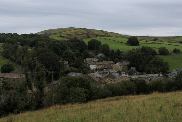
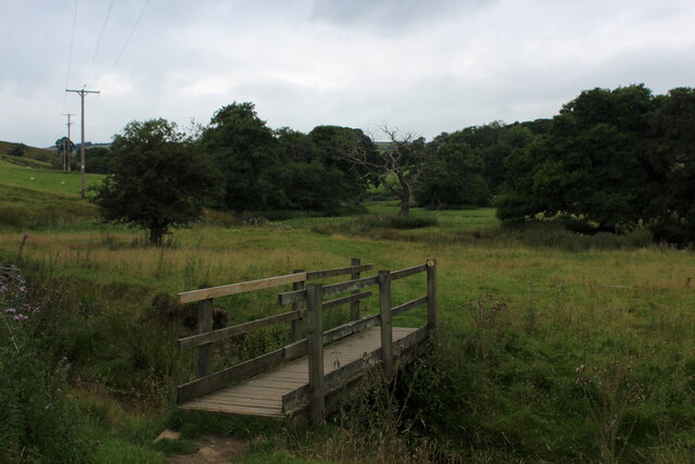
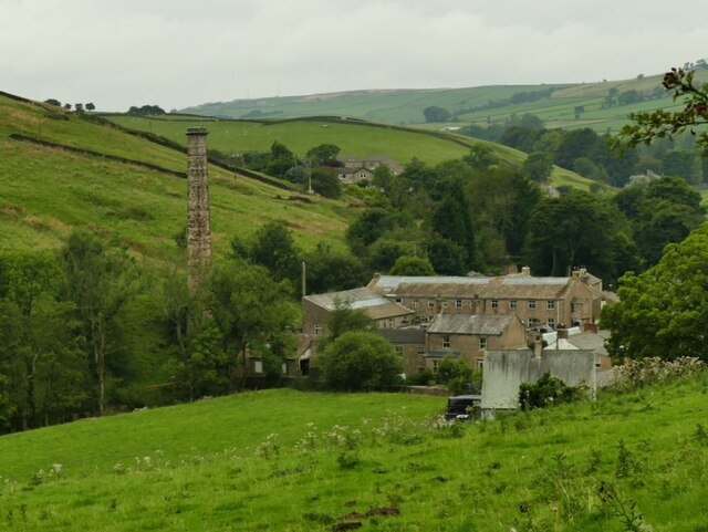
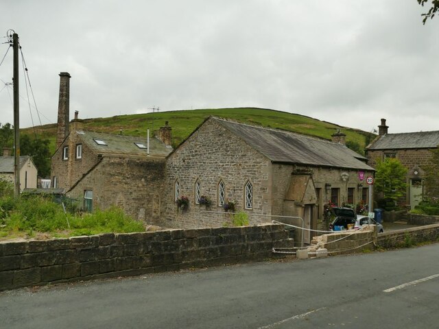
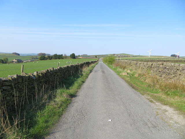
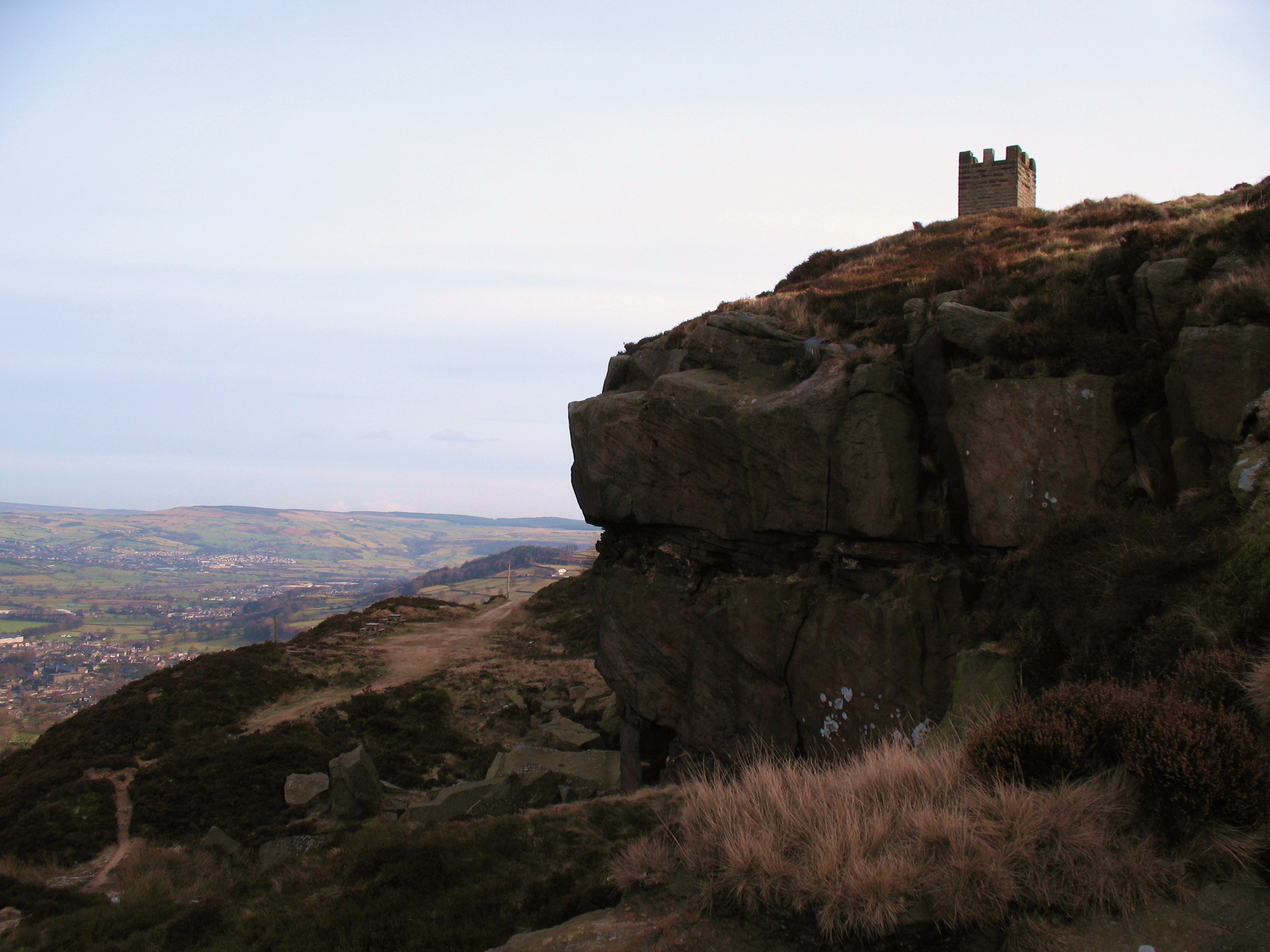
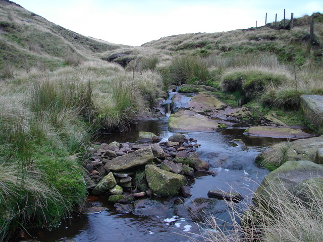
The terrain of Hawshaw Hill is characterized by its rolling countryside, featuring lush green meadows, scattered trees, and patches of bracken. The hill offers breathtaking panoramic views of the surrounding landscape, including the picturesque Calder Valley, which stretches out to the south.

The summit of Hawshaw Hill boasts a trig point, a concrete pillar used in the past for surveying purposes. This point serves as a popular destination for hikers and nature enthusiasts who enjoy the challenge of reaching its top. The hill is also home to a variety of wildlife, including birds such as kestrels and buzzards, as well as small mammals like rabbits and voles.

Due to its accessible location and stunning vistas, Hawshaw Hill attracts visitors throughout the year. The surrounding area offers a multitude of walking and hiking trails, allowing visitors to explore the natural beauty of the Yorkshire countryside. Whether it is a leisurely stroll or a more arduous hike, Hawshaw Hill offers something for everyone seeking outdoor adventure or simply a peaceful retreat in nature.

In summary, Hawshaw Hill is a captivating hill in Yorkshire, England, characterized by its rolling terrain, panoramic views, and diverse wildlife. It is a popular destination for those seeking outdoor activities and an opportunity to immerse themselves in the beauty of the Yorkshire countryside.

If you have any feedback on the listing, please let us know in the comments section below.
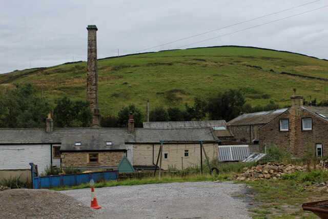
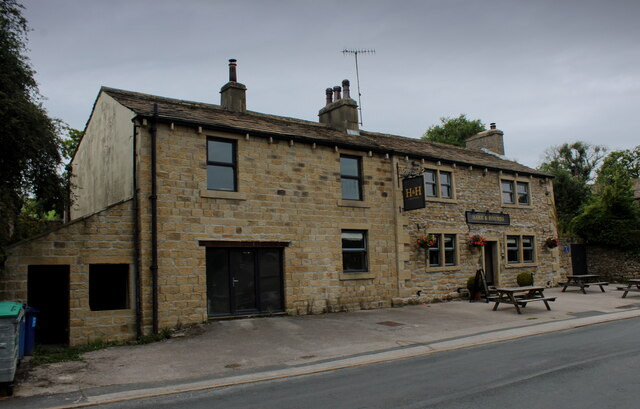
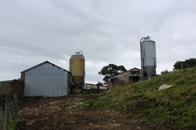
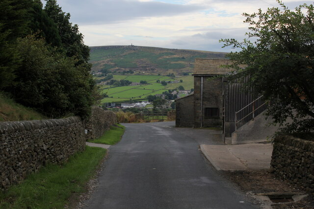
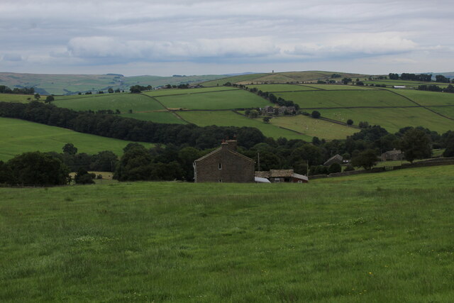
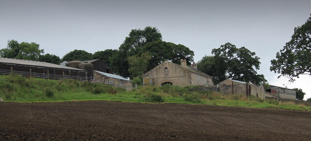
Hawshaw Hill Images

Images are sourced within 2km of 53.897066/-2.083189 or Grid Reference SD9444. Thanks to Geograph Open Source API. All images are credited.

Tall Chimney attached to Dale End Mill Tall thin stone chimney, roughly 80ft high and attached to the former textile mill at Dale End.
Tall Chimney attached to Dale End Mill
Tall thin stone chimney, roughly 80ft high and attached to the former textile mill at Dale End.
Hare and Hounds, Lothersdale
View over Lothersdale from the Pennine Way Views over the village of Lothersdale observed while climbing a steep hill on the Pennine Way National Trail - heading south towards Cowling
View over Lothersdale from the Pennine Way
Views over the village of Lothersdale observed while climbing a steep hill on the Pennine Way National Trail - heading south towards Cowling
Footbridge over Surgill Beck A footpath crosses the tributary, just before its waters empty into Lothersdale Beck.
Footbridge over Surgill Beck
A footpath crosses the tributary, just before its waters empty into Lothersdale Beck.
Mire Close A collection of farm outbuildings on Grandage Lane
Mire Close
A collection of farm outbuildings on Grandage Lane
Cowling Hill Lane Lane descending towards Glusburn - with long views towards Wainman's Pinnacle and Earl Crag.
Cowling Hill Lane
Lane descending towards Glusburn - with long views towards Wainman's Pinnacle and Earl Crag.
Low Laithe from the Pennine Way View from Grandage Lane, which at this point has been adopted by the Pennine Way National Trail.
It looks north east over Low Laithe.
Low Laithe from the Pennine Way
View from Grandage Lane, which at this point has been adopted by the Pennine Way National Trail. It looks north east over Low Laithe.
Over House
Over House
Dale End Mill, Lothersdale Shown on old maps as a woollen and cotton mill, which is unusual: most textile mills specialised in one or the other.  The mill buildings date from c.1860 and are listed grade II* for various reasons including their completeness and for the water wheel, claimed to be the largest enclosed water wheel installed nationally <a href="https://www.geograph.org.uk/photo/335285">SD9645 : Dale End Mill waterwheel</a>.  I didn't have time to visit on my way through but other contributors have.
Dale End Mill, Lothersdale
Shown on old maps as a woollen and cotton mill, which is unusual: most textile mills specialised in one or the other. The mill buildings date from c.1860 and are listed grade II* for various reasons including their completeness and for the water wheel, claimed to be the largest enclosed water wheel installed nationally SD9645 : Dale End Mill waterwheel. I didn't have time to visit on my way through but other contributors have.
Lothersdale village hall A community owned asset.
Lothersdale village hall
A community owned asset.
View from Cow Lane Only one cow (just) visible in this view towards the top of Lothersdale.
View from Cow Lane
Only one cow (just) visible in this view towards the top of Lothersdale.
The Pennine Way near Lothersdale
Lothersdale from the Pennine Way
The Pennine Way crossing Surgill Beck
The Pennine Way crossing Cowling Hill Lane
The Pennine Way near Cowling Hill
Sandyforth Lane approaching Mosside Looking south-westward.
Sandyforth Lane approaching Mosside
Looking south-westward.
Wall and fence enclosed Moss End Lane Looking north-westward.
Wall and fence enclosed Moss End Lane
Looking north-westward.
Show me another place!

Hawshaw Hill is located at Grid Ref: SD9444 (Lat: 53.897066, Lng: -2.083189)

Division: West Riding

Administrative County: North Yorkshire

District: Craven

Police Authority: North Yorkshire

What 3 Words

///disprove.shiver.scans. Near Earby, Lancashire

Nearby Locations

Hawshaw Hill Hawshaw Moor

Related Wikis

Lothersdale

Lothersdale is a small village and civil parish in the former Craven district of North Yorkshire, England, near Skipton and within the triangle formed...

Stone Gappe

Stone Gappe is an 18th-century house in Lothersdale, North Yorkshire, England; it is a Grade II* listed building. == Construction == The house was constructed...

Middleton, Cowling

Middleton is a hamlet in the Craven district of North Yorkshire, England, part of the civil parish of Cowling. It is near the border with West Yorkshire...

Cowling, Craven

Cowling is a village, electoral division and civil parish in the Craven district of North Yorkshire, England. It is situated on the borders with the adjacent...

Staincliffe Wapentake

Staincliffe, also known as Staincliff, was a wapentake of the West Riding of Yorkshire, England. The wapentake was named from a place called Staincliffe...

Wainman's Pinnacle

Wainman's Pinnacle, originally built as a folly (and still used as a folly), is a stone obelisk in Sutton-in-Craven, North Yorkshire. It tends to be referred...

Earl Crag

Earl Crag is a gritstone crag and climbing area in Craven, North Yorkshire, England. It is home to Lund's Tower, Wainman's Pinnacle, and The Hitching...

River Laneshaw

The River Laneshaw is a river in Northern England. It runs for 1.9 miles (3 km) from Laneshaw Reservoir to Laneshaw Bridge alongside the A6068 road and...

Nearby Amenities

Located within 500m of 53.897066,-2.083189
Power: pole
Lat/Long: 53.8953959/-2.0851671
Power: pole
Lat/Long: 53.8977587/-2.0775738
Power: pole
Lat/Long: 53.8963063/-2.0822596
Power: pole
Lat/Long: 53.8971803/-2.0794138
Power: pole
Lat/Long: 53.8954196/-2.0878708
Power: pole
Lat/Long: 53.8969037/-2.080323
Power: pole
Lat/Long: 53.8956124/-2.0889597
Power: pole
Lat/Long: 53.898059/-2.0766484
Power: pole
Lat/Long: 53.8957958/-2.0899924
Power: pole
Lat/Long: 53.89526/-2.0869776
Power: pole
Lat/Long: 53.8974916/-2.0784428
Power: pole
Lat/Long: 53.8951098/-2.0861193
Power: pole
Lat/Long: 53.8960028/-2.083244
Power: pole
Lat/Long: 53.8966161/-2.0812672
Power: pole
Lat/Long: 53.8957057/-2.0842015
Place: farm
Lat/Long: 53.8948256/-2.0809525
Building: yes
Lat/Long: 53.8950785/-2.0786136
Place: farm
Lat/Long: 53.8994532/-2.0770258
The data included in this document is from www.openstreetmap.org. The data is made available under ODbL.

Have you been to Hawshaw Hill?

Leave your review of Hawshaw Hill below (or comments, questions and feedback).