Logan Hill
Hill, Mountain in Aberdeenshire
Scotland
Logan Hill
Logan Hill is a prominent hill located in Aberdeenshire, Scotland. Situated in the eastern part of the country, the hill stands tall at an elevation of approximately 305 meters (1,000 feet), offering breathtaking panoramic views of the surrounding landscapes.
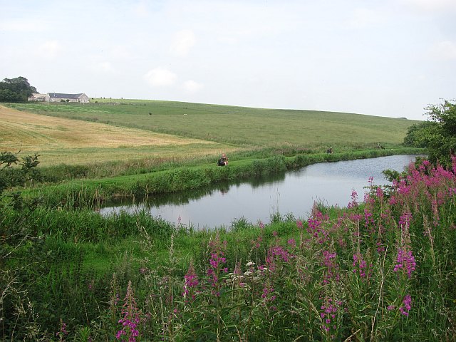
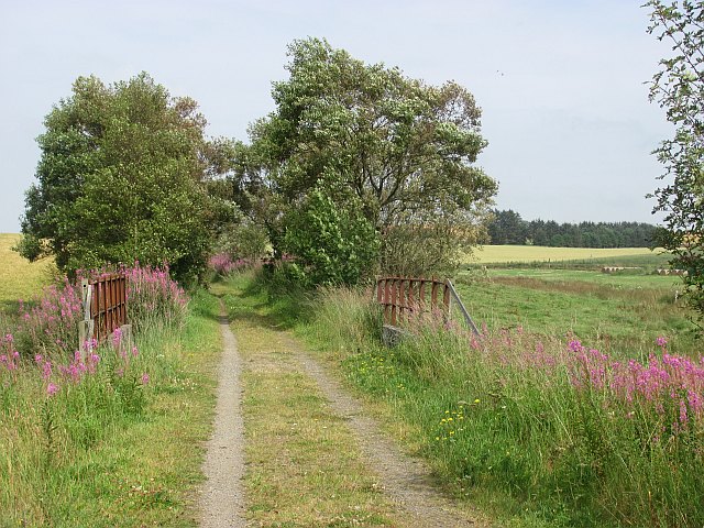
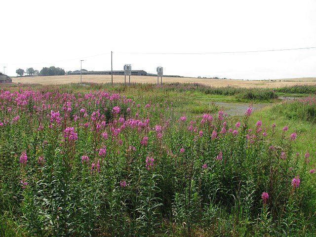
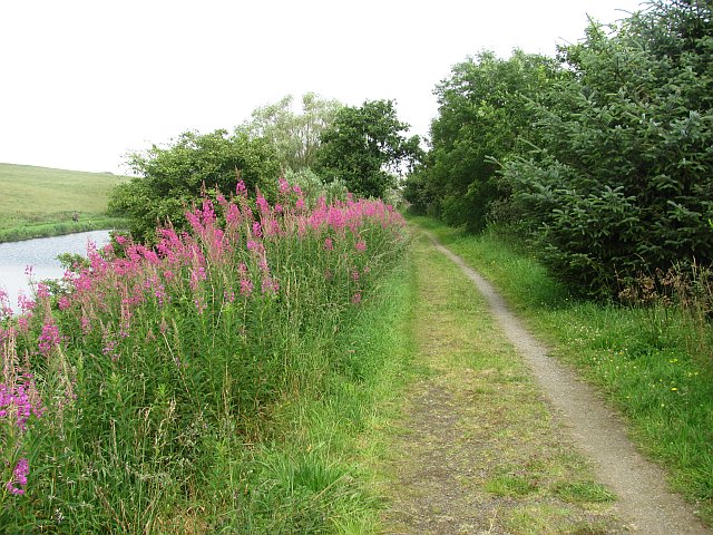
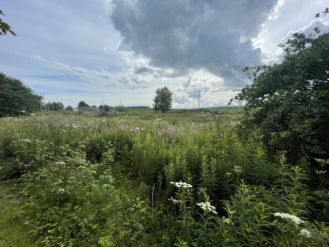
Covered in lush greenery, Logan Hill is a popular destination for hikers, nature enthusiasts, and outdoor adventurers. Its well-maintained trails provide an opportunity to explore the diverse flora and fauna that thrive in this region. Visitors can expect to encounter a variety of plant species, including heather, gorse, and wildflowers, which paint the hillside with vibrant colors during the summer months.
At the summit of Logan Hill, visitors are rewarded with a mesmerizing vista that stretches across Aberdeenshire and beyond. On a clear day, one can see the rolling hills, picturesque valleys, and even catch a glimpse of the North Sea in the distance.
The hill is easily accessible, with several walking routes leading to its peak. It is recommended to wear appropriate footwear and bring along plenty of water and snacks, as the ascent can be steep in certain sections. The trek is well worth the effort, as the stunning views and tranquility at the top make for a truly unforgettable experience.
Overall, Logan Hill in Aberdeenshire is a remarkable natural landmark that offers an opportunity to connect with nature and soak in the beauty of the Scottish countryside.
If you have any feedback on the listing, please let us know in the comments section below.
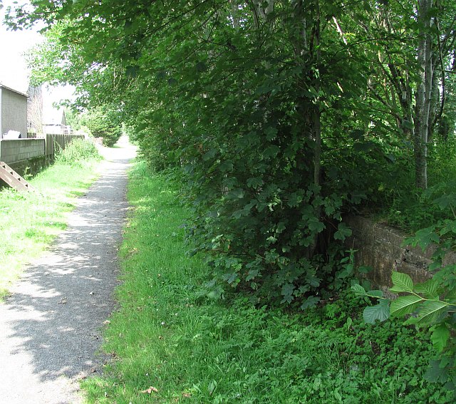
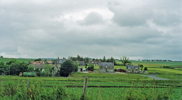
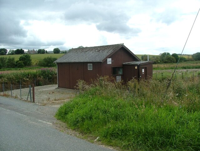
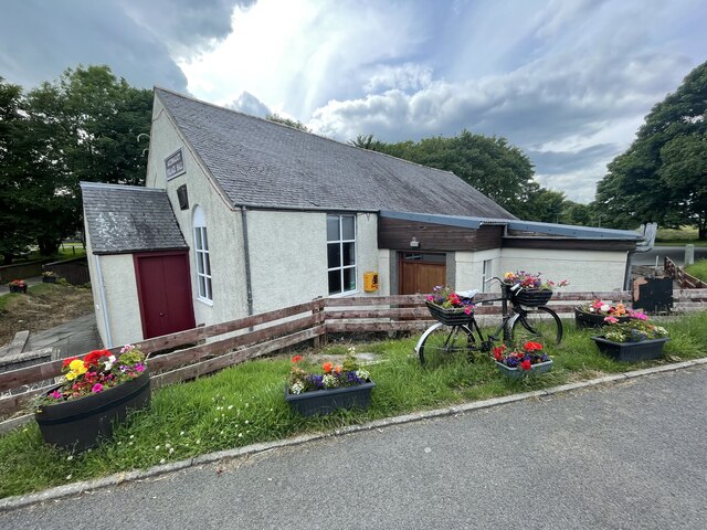
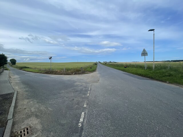
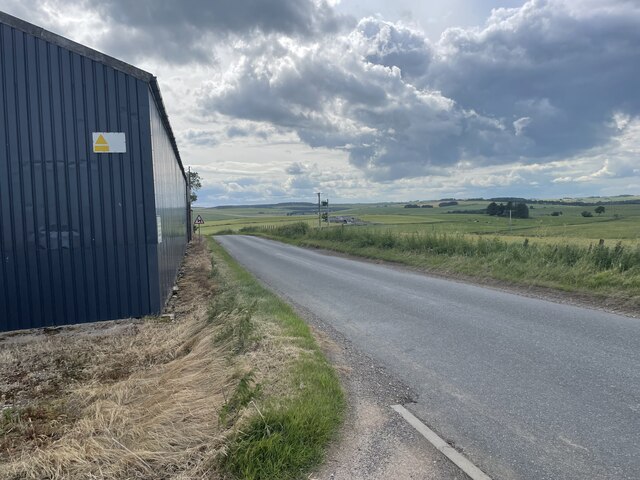
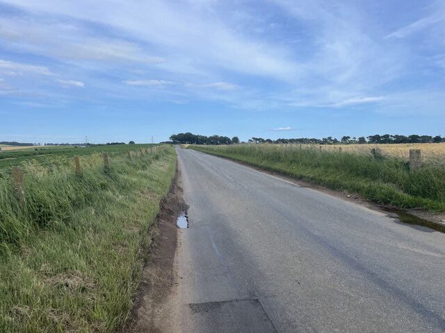
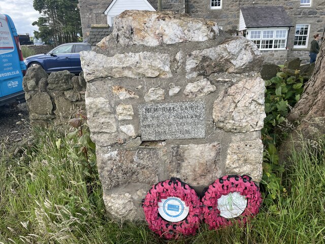
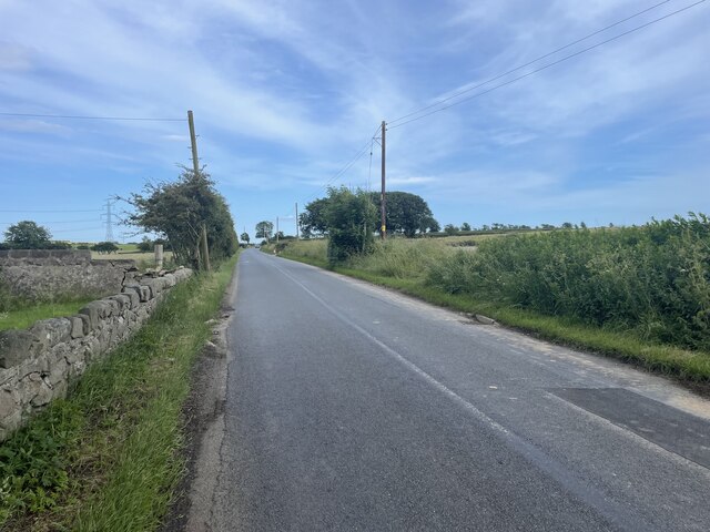
Logan Hill Images
Images are sourced within 2km of 57.461861/-2.0913257 or Grid Reference NJ9441. Thanks to Geograph Open Source API. All images are credited.
Logan Hill is located at Grid Ref: NJ9441 (Lat: 57.461861, Lng: -2.0913257)
Unitary Authority: Aberdeenshire
Police Authority: North East
What 3 Words
///revision.look.expecting. Near Mintlaw, Aberdeenshire
Nearby Locations
Related Wikis

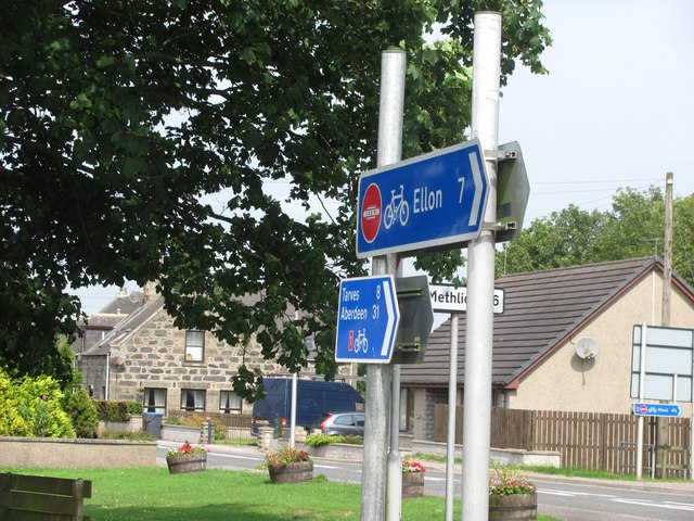
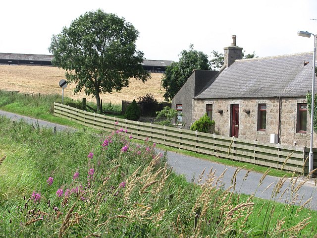
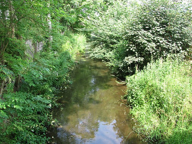
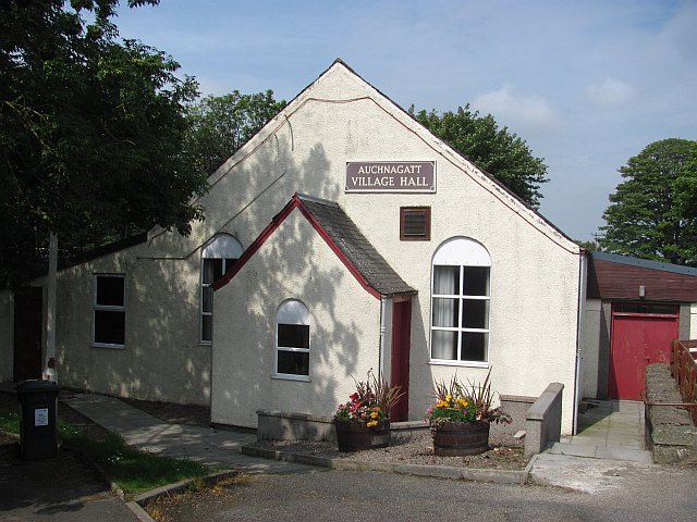
Auchnagatt
Auchnagatt (Scottish Gaelic: Achadh nan Cat) is a village and rural area in Buchan, Aberdeenshire, Scotland, situated on the Ebrie Burn and on the A948...

Auchnagatt railway station
Auchnagatt railway station was a railway station in Auchnagatt, Aberdeenshire. Before its closure, services ran to Fraserburgh, Peterhead and Aberdeen...

Formartine and Buchan Way
The Formartine and Buchan Way is a long-distance trail in Scotland, extending from Dyce north to Peterhead and Fraserburgh in the Buchan and Formartine...

Skelmuir Hill
Skelmuir Hill is a landform in Aberdeenshire, Scotland. This is the location of a trig point or official government survey marker. Skelmuir Hill is the...
Arnage Castle
Arnage Castle is a country house, incorporating a Z-plan tower house, located around 4 miles (6.4 km) north of Ellon, in Aberdeenshire, north-east Scotland...

Stuartfield
Stuartfield is a small inland village in the Buchan area of Aberdeenshire, Scotland, situated 1.8 kilometres (1.1 mi) south of Old Deer. It was formerly...

Arnage railway station
Arnage railway station was a railway station in Arnage, Aberdeenshire. == History == The station was opened on 18 July 1861 by the Formartine and Buchan...
Clackriach Castle
Clackriach Castle was a 16th-century tower house, about 11 miles (18 km) north of Ellon, Aberdeenshire, Scotland, and 1 mile (1.6 km) south-east of Maud...
Related Videos

Our Next AdVANture Begins - 2 Van's, 5 Country's, 4 Humans & A Scooby Dog
We Introduce Fee and Neill, Re - introduce Vanessa - Fees Van as we set off from Auchnagatt, on an adventure across Europe ...
Niell & David - Living On The Edge Of The Grid
An Old Farmhouse, Bothy and Farm buildings dotted around an old Courtyard in Auchnagatt, is home to Neill and David.

Living In What Your Building - The New Van update from Auchnagatt and introducing Em.
Our new home and the Reality of Building it while living in it. Introducing not very technical Em and helping her get used to being ...

How to - Driving UK 2 Portugal - On a budget
We plan our next adventure. From North East Scotland to Central Portugal. Looking at all routes and taking into account - costs, ...
Nearby Amenities
Located within 500m of 57.461861,-2.0913257Have you been to Logan Hill?
Leave your review of Logan Hill below (or comments, questions and feedback).