Brocks' Brae

Downs, Moorland in Aberdeenshire

Scotland

Brocks' Brae

Mill of Elrick Trout Fishery One of the stocked pools along the Burn of Ebrie.
Mill of Elrick Trout Fishery Credit: Richard Webb

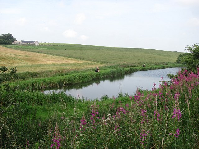
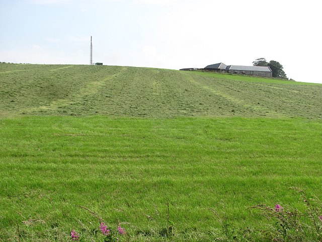
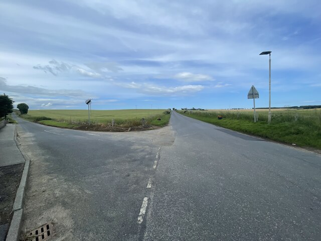
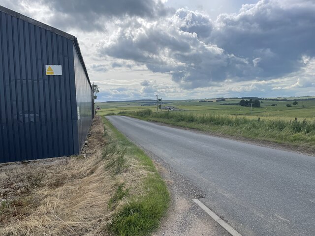
Brocks' Brae is a picturesque area located in Aberdeenshire, Scotland. Situated amidst the stunning landscape of downs and moorland, this region captivates visitors with its natural beauty and serene atmosphere. The brae, which refers to a steep slope or hillside, offers breathtaking views of the surrounding countryside.

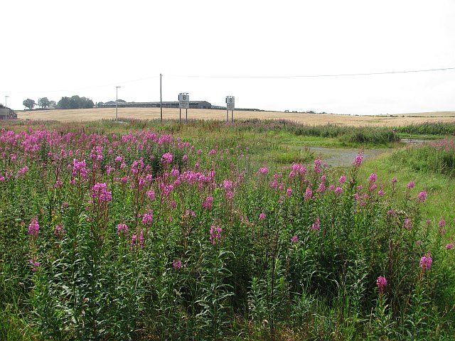
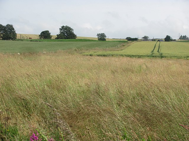
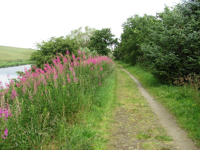
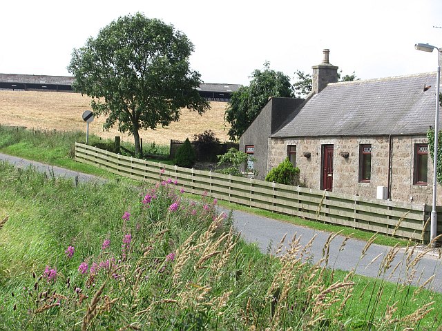
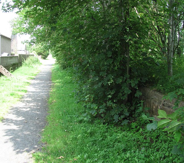
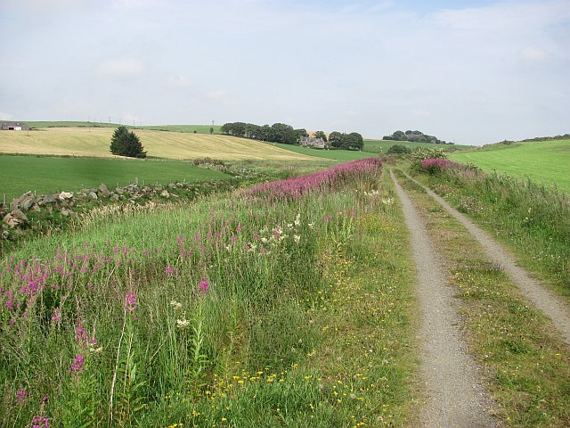
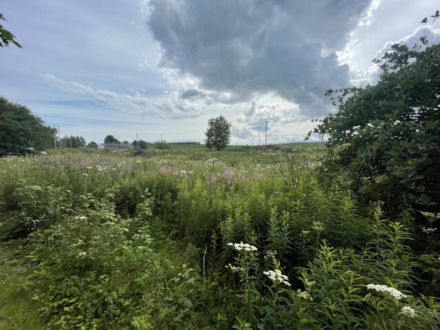
The downs in this area are characterized by gently rolling hills covered with lush green grass and scattered with vibrant wildflowers. These downs create a captivating landscape that is perfect for outdoor enthusiasts and nature lovers. The moorland, on the other hand, adds a touch of ruggedness to the landscape with its heather-covered hillsides and winding paths.

The area is home to a diverse range of wildlife, including various bird species, small mammals, and insects. Birdwatchers can spot soaring birds of prey, such as buzzards and kestrels, while hikers may encounter deer or rabbits along their trails.

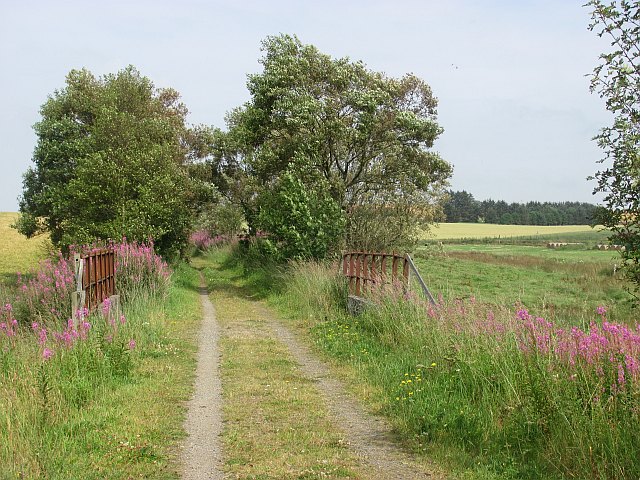
Visitors to Brocks' Brae can enjoy a range of activities, including hiking, picnicking, and photography. The well-marked trails provide an opportunity to explore the area's natural wonders and discover hidden gems along the way. The peaceful ambiance of the brae makes it an ideal spot for relaxation, meditation, or simply soaking in the beauty of nature.

Overall, Brocks' Brae in Aberdeenshire offers a tranquil retreat from the hustle and bustle of everyday life. Its downs and moorland provide a scenic backdrop for outdoor activities and a chance to connect with nature in a truly mesmerizing setting.

If you have any feedback on the listing, please let us know in the comments section below.
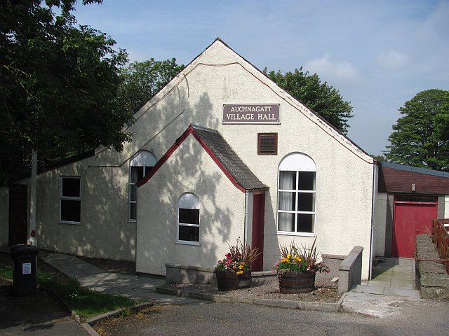
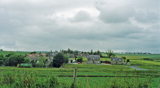
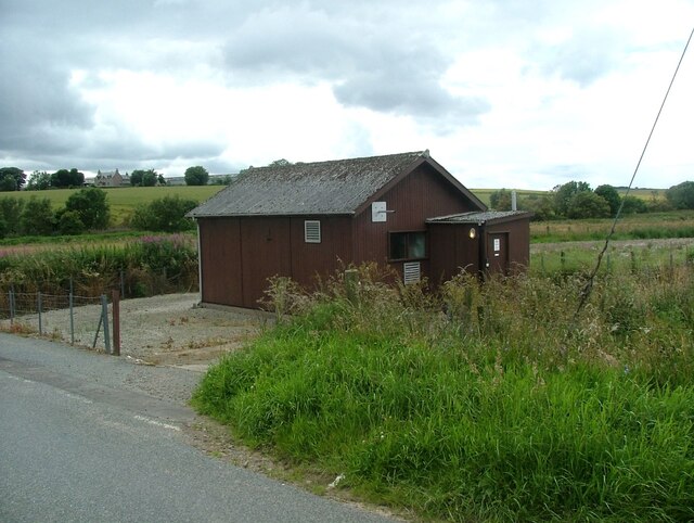
Brocks' Brae Images

Images are sourced within 2km of 57.461081/-2.1005577 or Grid Reference NJ9441. Thanks to Geograph Open Source API. All images are credited.

Mill of Elrick Trout Fishery One of the stocked pools along the Burn of Ebrie.
Mill of Elrick Trout Fishery
One of the stocked pools along the Burn of Ebrie.
Formartine and Buchan  Way The railway crossed the Ebrie Burn here. It closed in 1979 and now the trackbed is a cycle path and farm access track.
Formartine and Buchan Way
The railway crossed the Ebrie Burn here. It closed in 1979 and now the trackbed is a cycle path and farm access track.
Looking up to Catcraig from the Formartine and Buchan Way The foreground is either the site of Auchnagatt Station or near it. The platforms were further south and 1950's mapping show buildings here.
Looking up to Catcraig from the Formartine and Buchan Way
The foreground is either the site of Auchnagatt Station or near it. The platforms were further south and 1950's mapping show buildings here.
North of Auchnagatt View from the trackbed of the Formartine and Buchan Railway, now a cycle/footpath from Dyce to Fraserburgh with a branch to Peterhead.
North of Auchnagatt
View from the trackbed of the Formartine and Buchan Railway, now a cycle/footpath from Dyce to Fraserburgh with a branch to Peterhead.
Formartine and Buchan Way The trackbed of the railway from Dyce to Fraserburgh which closed in 1979. It is now a footpath/cyclepath.
Formartine and Buchan Way
The trackbed of the railway from Dyce to Fraserburgh which closed in 1979. It is now a footpath/cyclepath.
Formartine and Buchan Way signs in Auchnagatt Some satisfying big numbers - all but 5 of the miles to Aberdeen are off road.
Formartine and Buchan Way signs in Auchnagatt
Some satisfying big numbers - all but 5 of the miles to Aberdeen are off road.
Auchnagatt
Auchnagatt
Ebrie Burn. Auchnagatt
Auchnagatt Village Hall
Auchnagatt Station An overgrown platform on the Formartine and Buchan Railway.
Auchnagatt Station
An overgrown platform on the Formartine and Buchan Railway.
Site of Auchnagatt station View eastward from A948 road: ex-GNSR (Aberdeen) - Dyce (to right) - Maud - Fraserburgh/Peterhead lines. The station - somewhere in the village here - was closed 4/10/65 when passenger services to Fraserburgh ceased, but handled goods here until 28/3/66 and the line was not closed until 4/10/79.
Site of Auchnagatt station
View eastward from A948 road: ex-GNSR (Aberdeen) - Dyce (to right) - Maud - Fraserburgh/Peterhead lines. The station - somewhere in the village here - was closed 4/10/65 when passenger services to Fraserburgh ceased, but handled goods here until 28/3/66 and the line was not closed until 4/10/79.
Formartine and Buchan  Way The trackbed is used as a road here and is well surfaced. View towards Ebrie Lodge.
Formartine and Buchan Way
The trackbed is used as a road here and is well surfaced. View towards Ebrie Lodge.
Waulkmill of Auchengatt
Auchnagatt telephone exchange Auchnagatt telephone exchange is unusual in being in a very prominent location - most are hidden away.
Auchnagatt telephone exchange
Auchnagatt telephone exchange is unusual in being in a very prominent location - most are hidden away.
Overgrown old station The Formartine and Buchan Way is a long-distance trail in Scotland, extending from Dyce north to Peterhead and Fraserburgh in the Buchan and Formartine districts of Aberdeenshire in Scotland. It follows the track of a former railway line, the Formartine and Buchan Railway, and is open to walkers, cyclists and horse riders.The railway closed in 1979 (Fraserburgh) and 1970 (Maud-Peterhead). The walkway opened in the early 1990s, and is managed by Aberdeenshire Council. It is listed as one of Scotland's Great Trails by NatureScot
64 km (40 mi) to Fraserburgh, plus 21 km (13 mi) spur to Peterhead.
Overgrown old station
The Formartine and Buchan Way is a long-distance trail in Scotland, extending from Dyce north to Peterhead and Fraserburgh in the Buchan and Formartine districts of Aberdeenshire in Scotland. It follows the track of a former railway line, the Formartine and Buchan Railway, and is open to walkers, cyclists and horse riders.The railway closed in 1979 (Fraserburgh) and 1970 (Maud-Peterhead). The walkway opened in the early 1990s, and is managed by Aberdeenshire Council. It is listed as one of Scotland's Great Trails by NatureScot 64 km (40 mi) to Fraserburgh, plus 21 km (13 mi) spur to Peterhead.
Auchnagatt Village hall
Junction on the B9030
Mains of Annochie
Mains of Annochie
Show me another place!

Brocks' Brae is located at Grid Ref: NJ9441 (Lat: 57.461081, Lng: -2.1005577)

Unitary Authority: Aberdeenshire

Police Authority: North East

What 3 Words

///fidelity.coping.query. Near Mintlaw, Aberdeenshire

Nearby Locations

Logan Hill Brocks' Brae

Related Wikis

Nearby Amenities

Located within 500m of 57.461081,-2.1005577
Power: pole
Lat/Long: 57.4599887/-2.1086509
Power: pole
Lat/Long: 57.4572548/-2.0974034
Power: pole
Lat/Long: 57.457775/-2.0973715
Power: pole
Lat/Long: 57.458322/-2.0972818
Power: pole
Lat/Long: 57.4587843/-2.0965461
Power: pole
Lat/Long: 57.45952/-2.0928055
Power: pole
Lat/Long: 57.459342/-2.0935931
Power: pole
Lat/Long: 57.4654105/-2.1009066
Power: pole
Lat/Long: 57.4647874/-2.1003793
The data included in this document is from www.openstreetmap.org. The data is made available under ODbL.

Have you been to Brocks' Brae?

Leave your review of Brocks' Brae below (or comments, questions and feedback).