Higher Barrowshaw
Settlement in Lancashire
England
Higher Barrowshaw
Higher Barrowshaw is a small village located in the county of Lancashire, situated in the northwest of England. It is part of the borough of Rossendale and falls within the Rossendale and Darwen parliamentary constituency. The village is nestled within the beautiful countryside, surrounded by rolling hills and valleys.
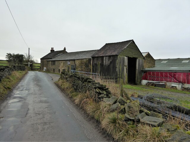
Higher Barrowshaw is known for its tranquil and rural setting, making it an ideal place for those seeking a peaceful lifestyle away from the hustle and bustle of city living. The village is predominantly residential, with a small population of close-knit community members. The houses in Higher Barrowshaw are mostly traditional stone-built properties, reflecting the area's rich architectural heritage.
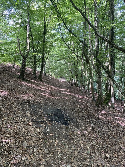
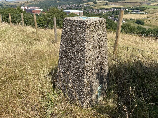
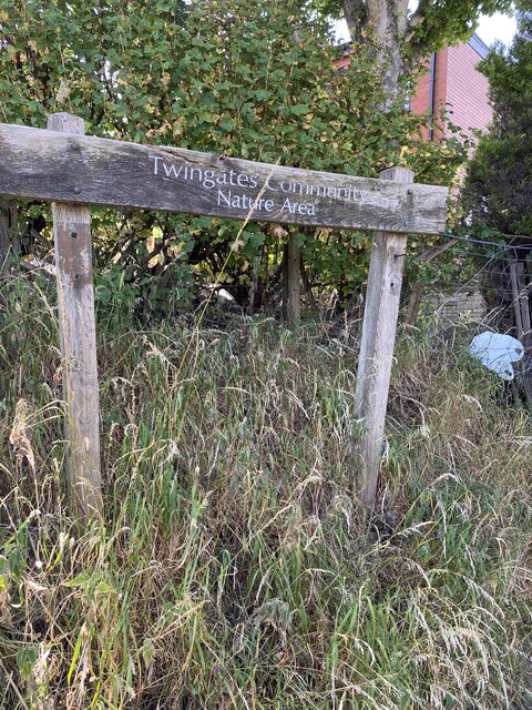
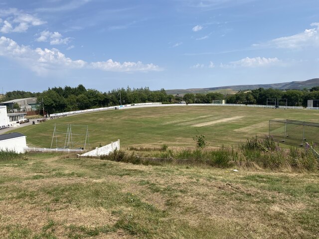
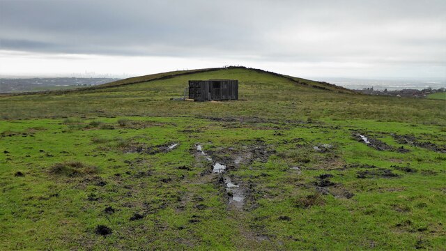
While the village does not have its own amenities, it benefits from being in close proximity to nearby towns and villages, such as Rawtenstall and Ramsbottom, which offer a range of services, including schools, shops, and healthcare facilities. The picturesque landscapes surrounding Higher Barrowshaw also make it an attractive destination for outdoor enthusiasts, with numerous walking trails and nature reserves nearby.
The village enjoys good transport links, with regular bus services connecting it to neighboring areas. Additionally, the M66 motorway is easily accessible, providing convenient connections to major cities such as Manchester and Leeds.
Overall, Higher Barrowshaw is a peaceful and idyllic village in the heart of Lancashire, offering a high quality of life for its residents and a charming escape for visitors.
If you have any feedback on the listing, please let us know in the comments section below.
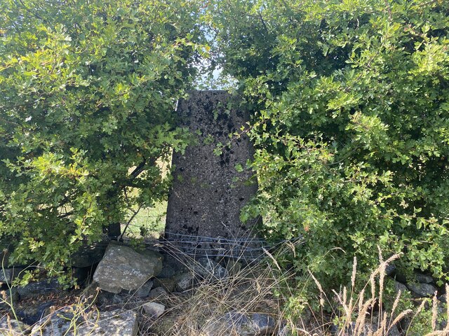
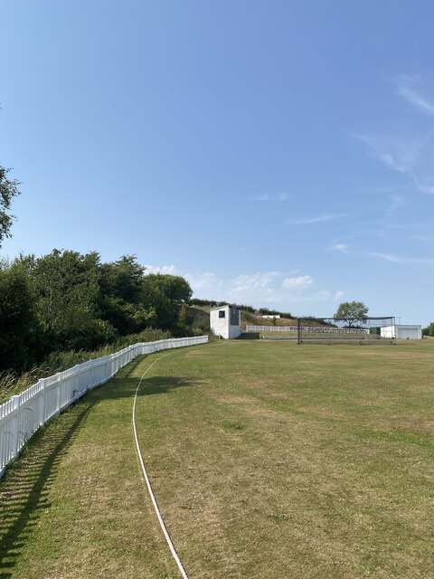
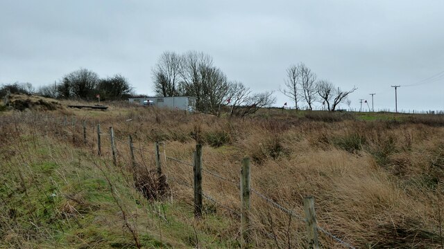
Higher Barrowshaw Images
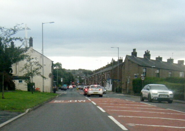
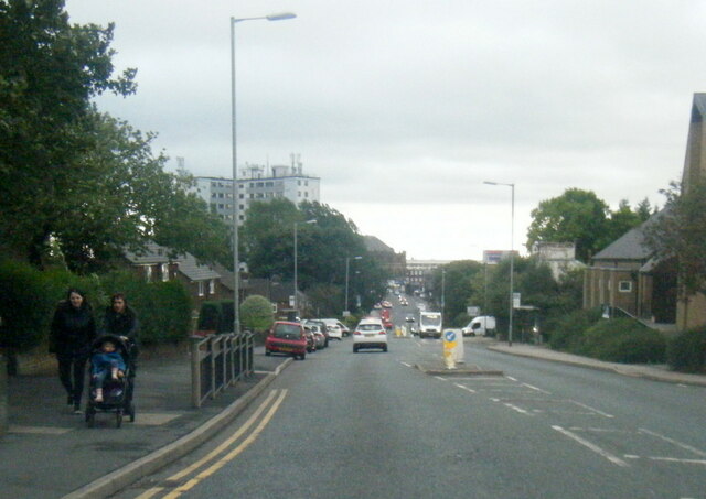
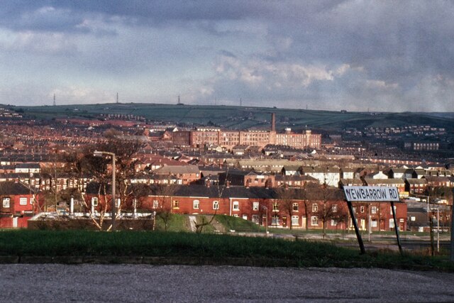
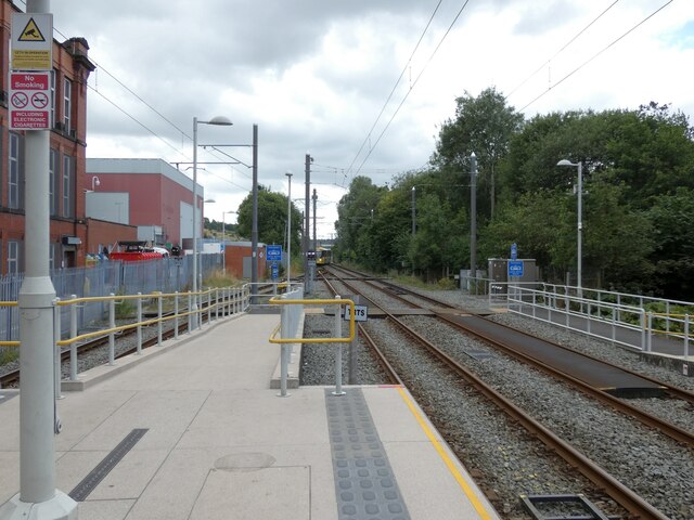
Images are sourced within 2km of 53.558419/-2.078467 or Grid Reference SD9406. Thanks to Geograph Open Source API. All images are credited.


Higher Barrowshaw is located at Grid Ref: SD9406 (Lat: 53.558419, Lng: -2.078467)
Unitary Authority: Oldham
Police Authority: Greater Manchester
What 3 Words
///struck.heats.nobody. Near Shaw, Manchester
Nearby Locations
Related Wikis
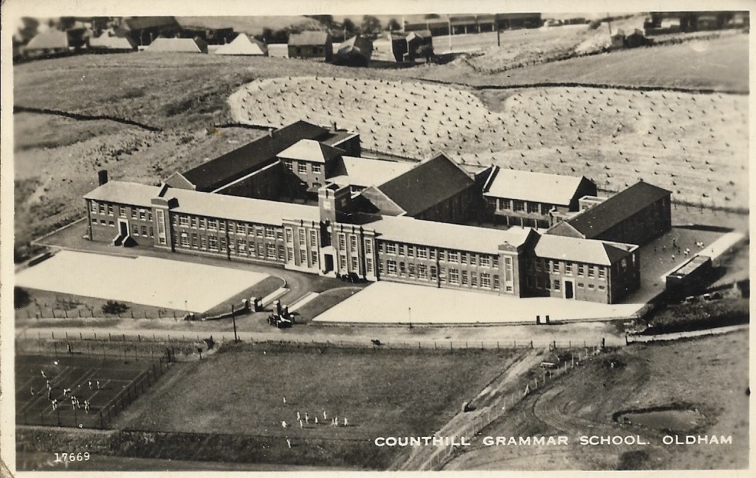
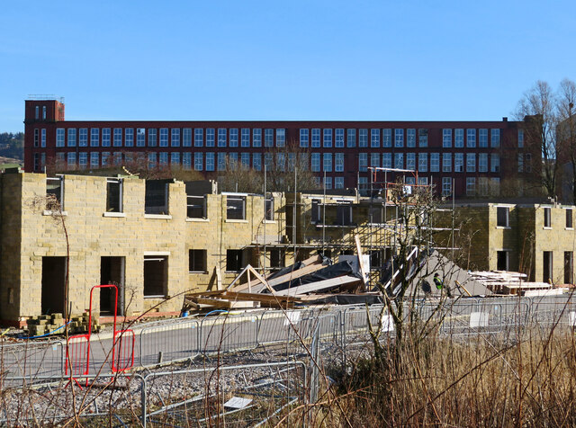
Counthill School
Counthill School formerly a high-achieving Grammar School, was a mixed gender secondary school for 11- to 16-year-olds in the Moorside area of Oldham in...

Moorside, Greater Manchester
Moorside is a suburb of Oldham in Greater Manchester, England. It is located in the north east of the township in a semi-rural locality bordering Saddleworth...
Kingsland School
Kingsland School is a pupil referral unit located on Broadbent Road, Watersheddings, Oldham.Kingsland School supports pupils, aged between 10 and 16, who...
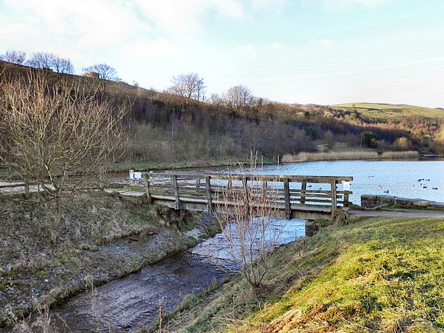
Strinesdale Reservoir
Strinesdale is a reservoir situated on the A62 between Oldham and Delph in Greater Manchester, England. The town of Rochdale is to the north and the town...
Nearby Amenities
Located within 500m of 53.558419,-2.078467Have you been to Higher Barrowshaw?
Leave your review of Higher Barrowshaw below (or comments, questions and feedback).