Watersfield

Settlement in Sussex Horsham

England

Watersfield

Pondweed on the north side of Amberley Wild Brooks
Pondweed on the north side of Amberley Wild Brooks Credit: Ian Cunliffe

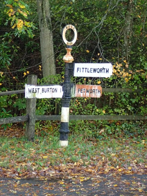
Watersfield is a picturesque village located in the district of Horsham, within the county of West Sussex, England. Situated approximately 7 miles southeast of the historic town of Petworth, Watersfield is nestled amidst the beautiful Sussex countryside.

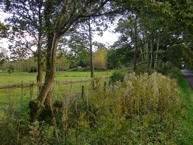
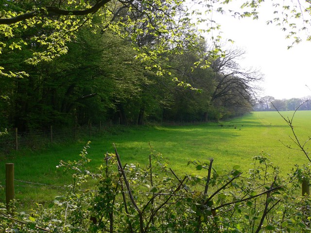
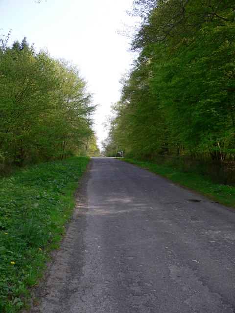
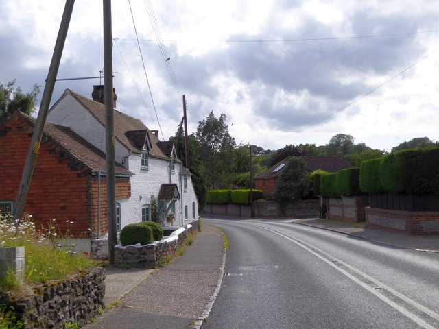
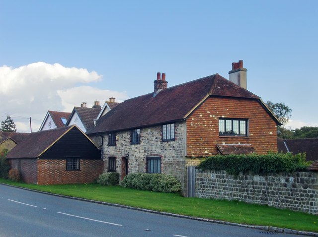
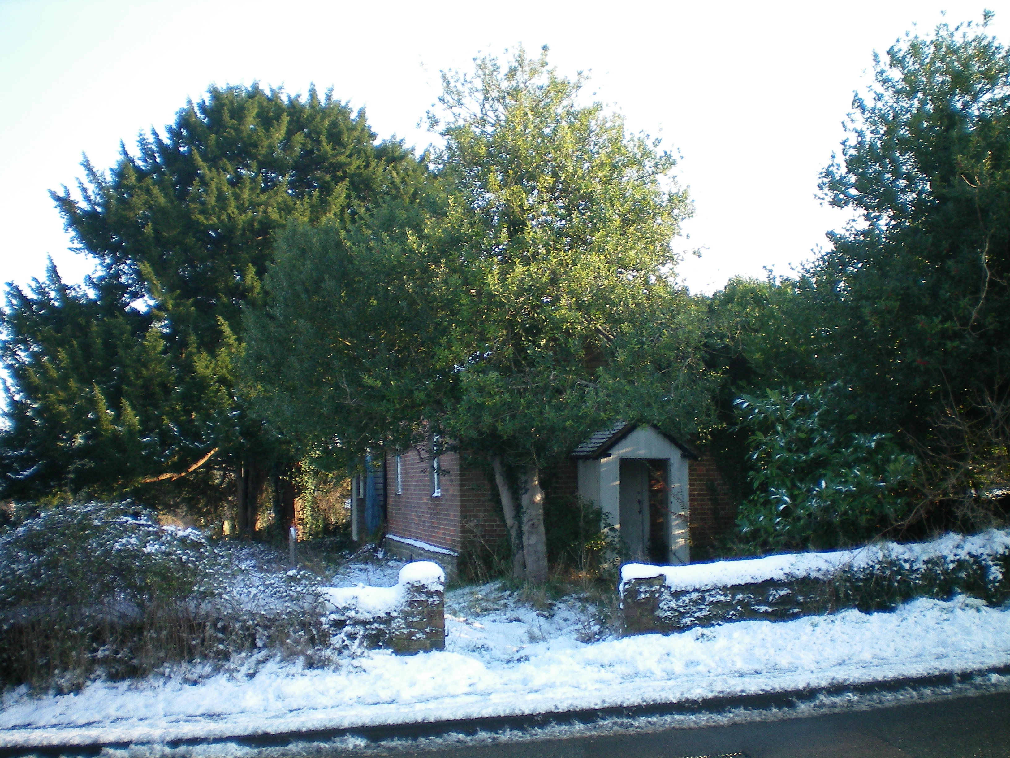
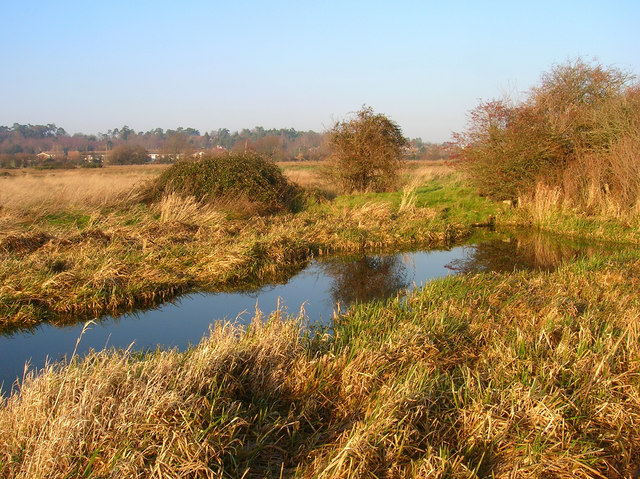
The village boasts a charming rural character, with a population of around 200 residents. It is renowned for its idyllic landscapes, rolling hills, and lush green fields that surround the area. The tranquility and natural beauty of Watersfield make it an attractive destination for those seeking a peaceful retreat from the bustling city life.

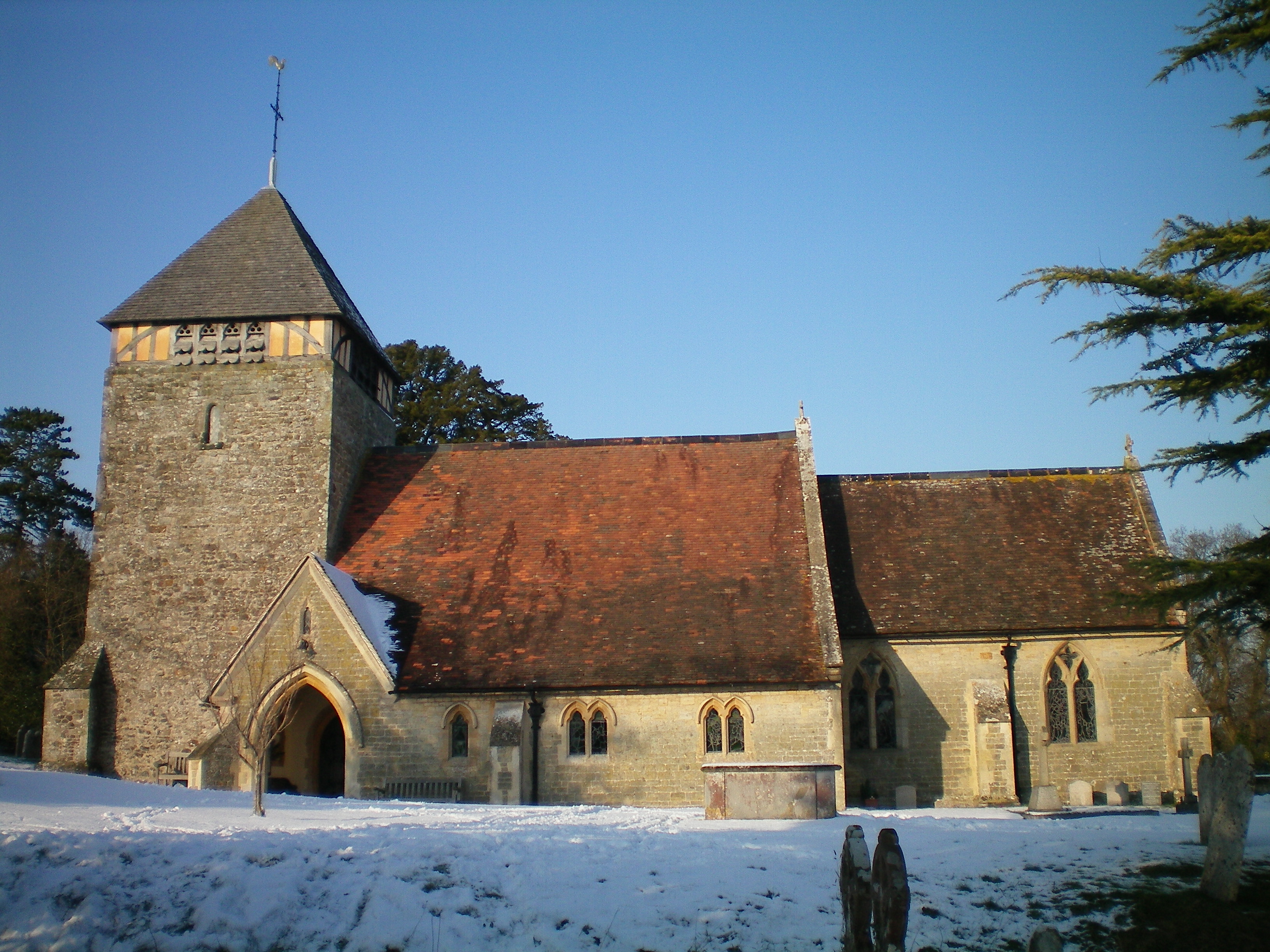
Watersfield is home to a small, yet close-knit community. The village features a quaint parish church, St. Andrew's, which dates back to the 12th century and serves as a focal point for religious and community activities. Additionally, there is a village hall where locals gather for social events and various recreational activities.

While Watersfield may be a quiet and secluded village, it benefits from its close proximity to larger towns and cities. Residents have easy access to the amenities and services offered by nearby Petworth, such as shops, schools, and healthcare facilities. The village is also well-connected to major transportation routes, making it convenient for commuting and exploring the wider Sussex area.

In summary, Watersfield is a charming and peaceful village nestled in the heart of the Sussex countryside. Its natural beauty, sense of community, and convenient location make it an appealing place for residents and visitors alike.

If you have any feedback on the listing, please let us know in the comments section below.

Watersfield Images

Images are sourced within 2km of 50.933398/-0.55802181 or Grid Reference TQ0115. Thanks to Geograph Open Source API. All images are credited.

Pondweed on the north side of Amberley Wild Brooks
Footbridge carrying the Wey-South Path over a drainage ditch The vegetation hereabouts was exceptionally lush, and the path was overgrown. I'm not sure whether this is a consequence of the prolonged heat and sunshine. I've noticed it in other damp places too.
Footbridge carrying the Wey-South Path over a drainage ditch
The vegetation hereabouts was exceptionally lush, and the path was overgrown. I'm not sure whether this is a consequence of the prolonged heat and sunshine. I've noticed it in other damp places too.
Dock leaves These were very large leaves - c 60 cm in length. I assume this is a species of dock.
Dock leaves
These were very large leaves - c 60 cm in length. I assume this is a species of dock.
Trees by a ditch I stopped to photograph the French-style plantation of young poplars (seen left) and only then realised that the rank vegetation in the foreground was growing along a roadside ditch - overgrown but still very wet.
Trees by a ditch
I stopped to photograph the French-style plantation of young poplars (seen left) and only then realised that the rank vegetation in the foreground was growing along a roadside ditch - overgrown but still very wet.
Direction Sign – Signpost Located on the west side of the T junction at the entrance to Bignor Park in Bury parish. 3 arms and annulus finial. See also <a title="https://www.geograph.org.uk/photo/1248290" href="https://www.geograph.org.uk/photo/1248290">Link</a>.

Milestone Society National ID: SX_SU9915
Direction Sign – Signpost
Located on the west side of the T junction at the entrance to Bignor Park in Bury parish. 3 arms and annulus finial. See also Link. Milestone Society National ID: SX_SU9915
The northern edge of Bowler's Crab Wood This was taken from the road.
The northern edge of Bowler's Crab Wood
This was taken from the road.
The road by Bowler's Crab Wood looking south The sign at the road junction with Bignor Park Road can be seen ahead.
The road by Bowler's Crab Wood looking south
The sign at the road junction with Bignor Park Road can be seen ahead.
Tree-lined road leading to Greatham Bridge
Greatham Bridge over River Arun
River Arun from Greatham Bridge
Reeds by the River Arun seen from Greatham Bridge There is a small raised bank to protect the surrounding fields when the water is high
Reeds by the River Arun seen from Greatham Bridge
There is a small raised bank to protect the surrounding fields when the water is high
Bus shelter by A29 in Coldwaltham
London Road, Watersfield
River Lane, Watersfield
Cottages at Tripp Hill, Lower Horncroft
Ditches in the Arun Valley
Rough grazing, Arun Valley
Show me another place!

Watersfield is located at Grid Ref: TQ0115 (Lat: 50.933398, Lng: -0.55802181)

Administrative County: West Sussex

District: Horsham

Police Authority: Sussex

What 3 Words

///vocals.pronouns.degree. Near Pulborough, West Sussex

Nearby Locations

Watersfield

Related Wikis

Watersfield

Watersfield is a hamlet in the Horsham District of West Sussex, England. It lies on the A29 road 3.1 miles (5 km) southwest of Pulborough. At the 2011...

Waltham Brooks

Waltham Brooks is a 47.4-hectare (117-acre) biological Site of Special Scientific Interest south-west of Pulborough in West Sussex. It is owned and managed...

Coldwaltham

Coldwaltham is a village and civil parish in the Horsham District of West Sussex, England. It is divided in two by the A29 road and lies 2.4 miles (3.9...

Bignor Park

Bignor Park is a privately owned country house and estate near the village of Bignor, in West Sussex, England, on the edge of the South Downs. The house...

Related Videos

Hiking the South Downs Way Solo! :D ~ UK ~ May

So whilst in the south of England, I decided to hike the South Downs Way - a 100 mile hike from Eastbourne to Winchester.

The South Downs Way - Part 1

The South Downs Way has been on my to-hike-list ever since I moved to the UK. Partly because it is easily accessible from ...

Hiking in the South Downs National Park | Seven Sisters | Birling Gap | Beachy Head

In June I took the train to Seaford and set out to hike part of the South Downs National Park. I made my way to the Litlington White ...

A Scenic Journey: Walking the South Downs Way from Winchester to Eastbourne #timelapse

Time-lapse and drone footage of hiking the South Downs Way from Winchester to Eastbourne, filmed on a GoPro Hero 11 and DJI ...

Nearby Amenities

Located within 500m of 50.933398,-0.55802181
Watersfield
Is In: West Sussex, England, UK
Place: hamlet
Wikidata: Q782036
Lat/Long: 50.9333473/-0.5566412
Bus Stop
Village
Bus: yes
Naptan AtcoCode: 4400HR0082
Naptan Bearing: SW
Naptan BusStopType: CUS
Naptan CommonName: Village
Naptan Indicator: adj River Lane
Naptan Landmark: River Lane
Naptan NaptanCode: wsxatjdw
Naptan Street: Beacon Hill
Naptan Verified: no
Public Transport: platform
Source: naptan_import
Lat/Long: 50.9333903/-0.5574351
Bus Stop
Village
Bus: yes
Naptan AtcoCode: 4400HR0083
Naptan Bearing: SW
Naptan BusStopType: CUS
Naptan CommonName: Village
Naptan Indicator: adj Sandy Lane
Naptan Landmark: Sandy Lane
Naptan NaptanCode: wsxatjga
Naptan Street: Beacon Hill
Naptan Verified: no
Public Transport: platform
Source: naptan_import
Lat/Long: 50.9334723/-0.557518
Booth: K6
Removed Amenity: telephone
Lat/Long: 50.9329044/-0.557253
Parking
Lat/Long: 50.934508/-0.5605363
Post Box
Collection Plate: CP7
Collection Times: Mo-Fr 16:15; Sa 11:30
Operator: Royal Mail
Post Box Type: lamp
Ref: RH20 65
Royal Cypher: EIIR
Royal Cypher Wikidata: Q33102113
Lat/Long: 50.9333563/-0.5574366
The data included in this document is from www.openstreetmap.org. The data is made available under ODbL.

Have you been to Watersfield?

Leave your review of Watersfield below (or comments, questions and feedback).