Thongsbridge

Settlement in Yorkshire

England

Thongsbridge

Old milestone On a bend on the south side of the A635 between Holmfirth and New Mills is this 19C West Riding CC milestone.   This area is called Wooldale and that name is on the top section.  Left face - HOLMFIRTH/1 MILE, right face - DENBY/DALE/5¾ MILES/CAWTHORNE/9 MILES/BARNSLEY/13 MILES.   The foundry name, BRAYSHAW & BOOTH/LIVERSEDGE is on the bevel.   Grade II listed 1313589.  It is in need of a clean and possible repaint.
Old milestone Credit: Chris Minto

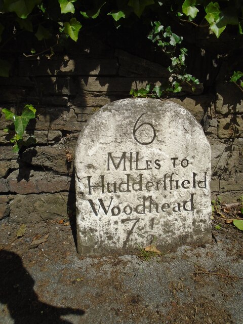
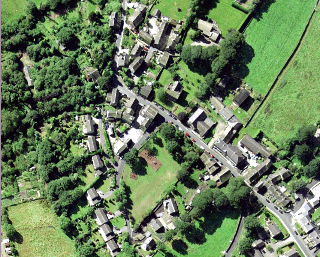
Thongsbridge is a small village located in the Holme Valley, West Yorkshire, England. Situated approximately 6 miles southwest of Huddersfield and nestled on the banks of the River Holme, Thongsbridge offers picturesque countryside views and a tranquil atmosphere.

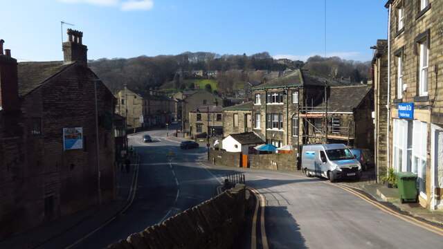
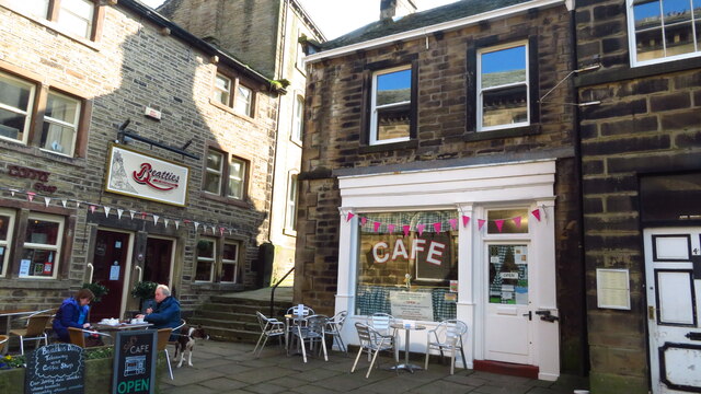
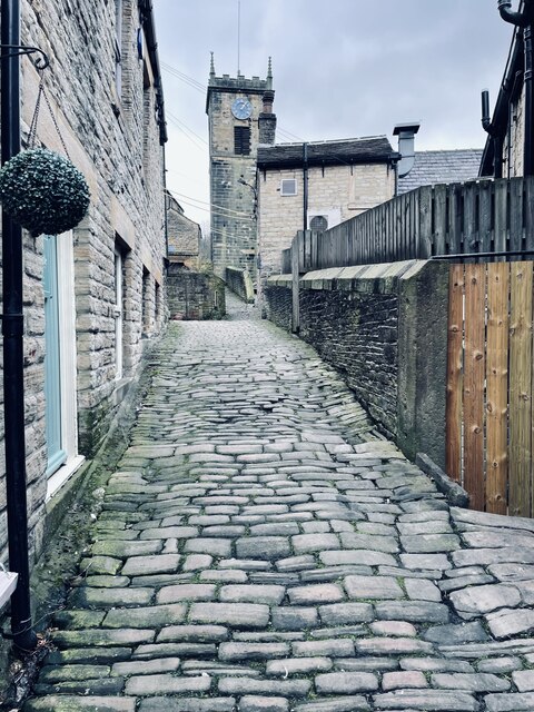
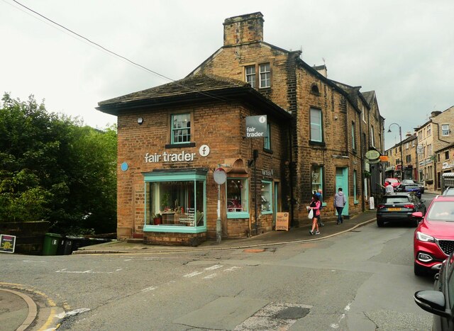
The village is known for its historic charm, with many traditional stone-built houses and buildings lining its streets. The local community is close-knit, creating a friendly and welcoming atmosphere for both residents and visitors alike.

Thongsbridge is surrounded by stunning natural beauty, with rolling hills and green fields stretching as far as the eye can see. The area is a haven for outdoor enthusiasts, offering numerous walking and cycling routes, including the famous Pennine Way. The nearby Holme Valley also offers opportunities for fishing, horse riding, and other outdoor pursuits.

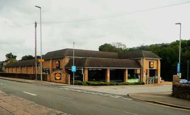
The village is home to a range of amenities, including a primary school, a post office, local shops, and several pubs and restaurants. It also has excellent transport links, with regular bus services connecting Thongsbridge to neighboring towns and cities.

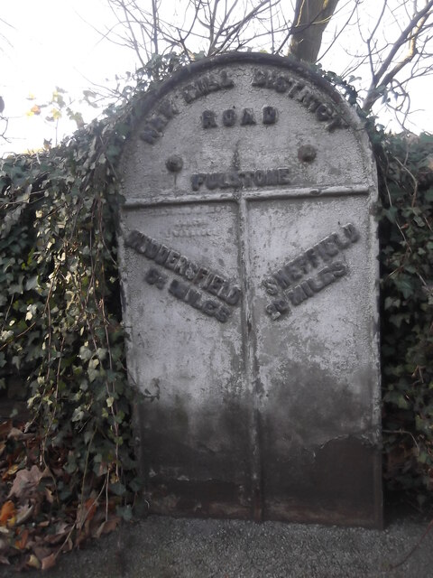
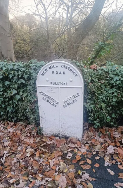
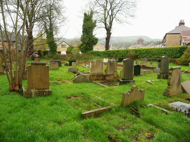
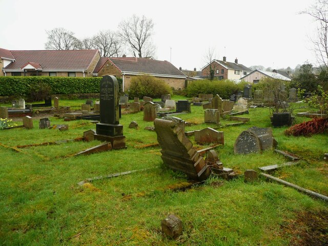
Thongsbridge is rich in history, with evidence of Roman and Viking settlements in the area. The village has a strong textile heritage, having been home to numerous mills during the Industrial Revolution. Today, Thongsbridge celebrates its history with various events and festivals throughout the year.

In summary, Thongsbridge is a charming village that offers a peaceful and idyllic lifestyle in the heart of the Yorkshire countryside. With its beautiful surroundings, strong community spirit, and convenient amenities, it is a sought-after place to live or visit.

If you have any feedback on the listing, please let us know in the comments section below.
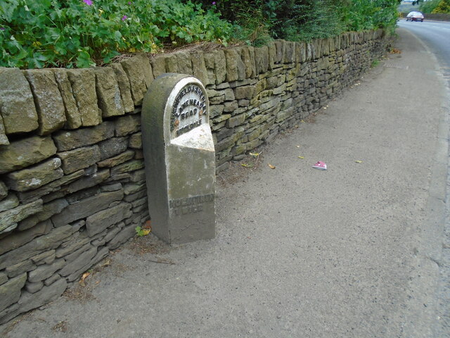
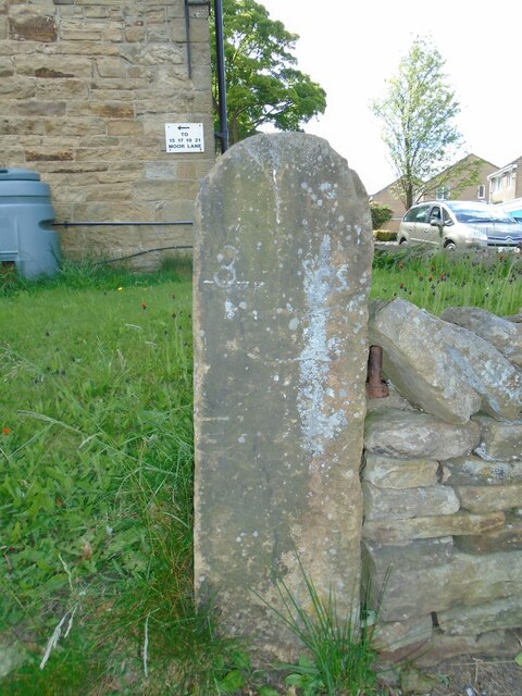
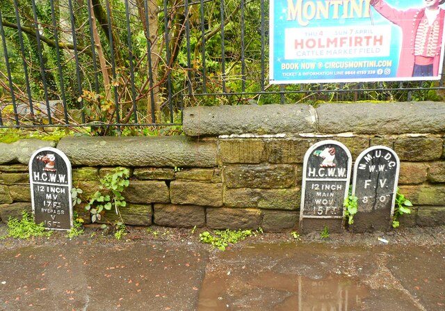
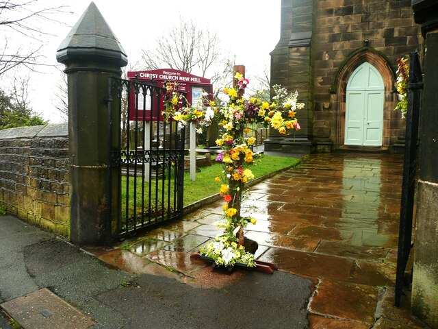
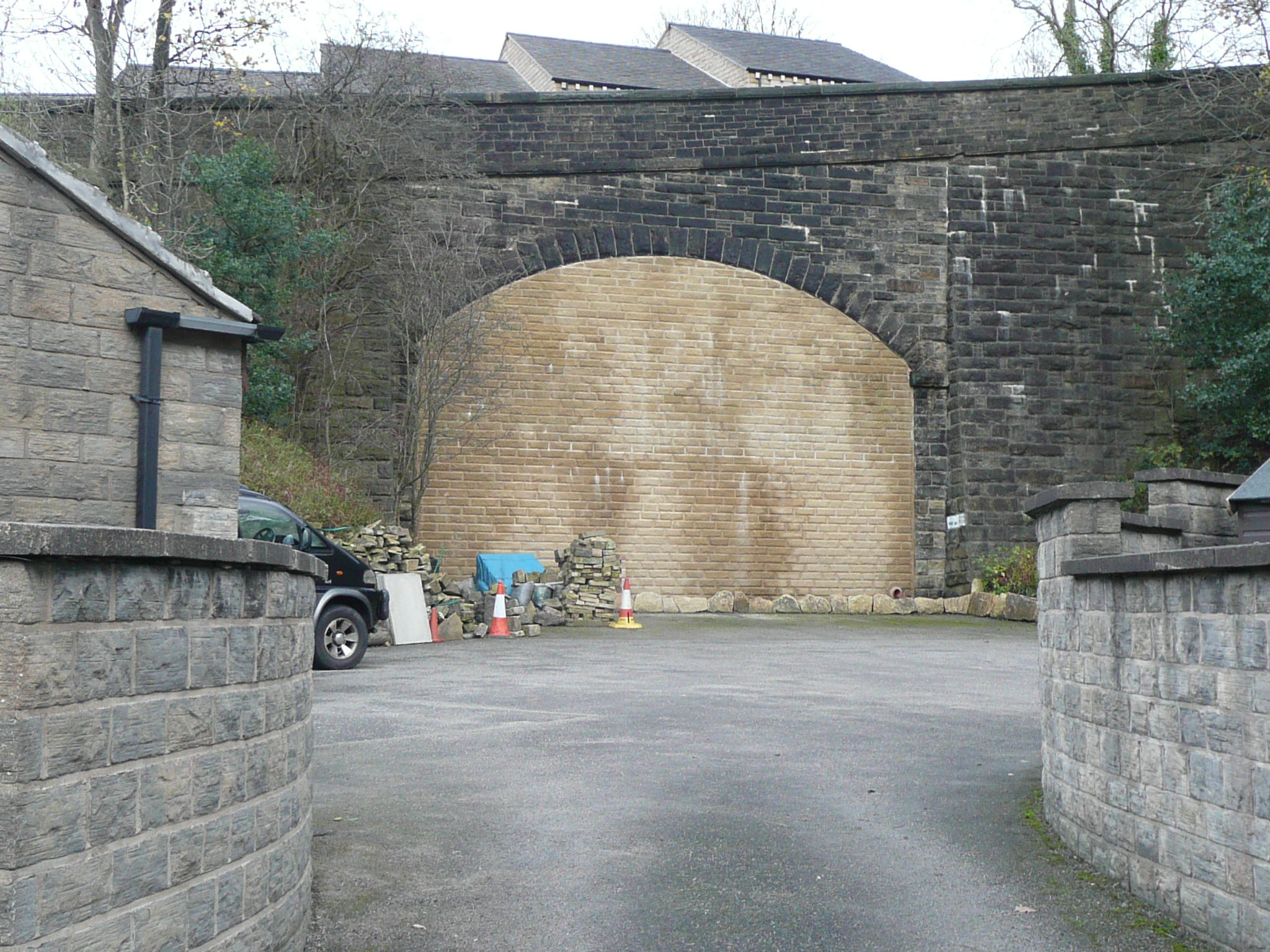
Thongsbridge Images

Images are sourced within 2km of 53.583665/-1.771878 or Grid Reference SE1509. Thanks to Geograph Open Source API. All images are credited.

Old milestone On a bend on the south side of the A635 between Holmfirth and New Mills is this 19C West Riding CC milestone.   This area is called Wooldale and that name is on the top section.  Left face - HOLMFIRTH/1 MILE, right face - DENBY/DALE/5¾ MILES/CAWTHORNE/9 MILES/BARNSLEY/13 MILES.   The foundry name, BRAYSHAW & BOOTH/LIVERSEDGE is on the bevel.   Grade II listed 1313589.  It is in need of a clean and possible repaint.
Old milestone
On a bend on the south side of the A635 between Holmfirth and New Mills is this 19C West Riding CC milestone. This area is called Wooldale and that name is on the top section. Left face - HOLMFIRTH/1 MILE, right face - DENBY/DALE/5¾ MILES/CAWTHORNE/9 MILES/BARNSLEY/13 MILES. The foundry name, BRAYSHAW & BOOTH/LIVERSEDGE is on the bevel. Grade II listed 1313589. It is in need of a clean and possible repaint.
Old milestone At the entrance to Lydgett Farm on Moor Lane, Netherthong is this out of place milestone.   It had been used as a gatepost at SE119092 and then on the top of a stone wall.   It has mileages to Penistone (penyston) 8 Miles, this face, Marsden and Huddersfield with pointing hands.  It is mentioned in WB Crump, Huddersfield Highways Down The Ages P146/147 and may have been at the crossroads Bradshaw Road/Wilshaw Mill Road near where it was used as a gatepost.

Milestone Society National ID: YW_XMELc
Old milestone
At the entrance to Lydgett Farm on Moor Lane, Netherthong is this out of place milestone. It had been used as a gatepost at SE119092 and then on the top of a stone wall. It has mileages to Penistone (penyston) 8 Miles, this face, Marsden and Huddersfield with pointing hands. It is mentioned in WB Crump, Huddersfield Highways Down The Ages P146/147 and may have been at the crossroads Bradshaw Road/Wilshaw Mill Road near where it was used as a gatepost. Milestone Society National ID: YW_XMELc
Old milestone The left face of the old milestone at Lydgett Farm.   With imagination, Marfden/5 miles can be discerned.
Old milestone
The left face of the old milestone at Lydgett Farm. With imagination, Marfden/5 miles can be discerned.
Old milestone The right face of the stone at the entrance to Lydgett Farm.   Inscribed Huddersfild, the s is above the r.  The top of the cuffed hand pointing to the left can just be seen.
Old milestone
The right face of the stone at the entrance to Lydgett Farm. Inscribed Huddersfild, the s is above the r. The top of the cuffed hand pointing to the left can just be seen.
Old milestone Just to the north of the town centre this stone from the 1768-1876 Huddersfield to Woodhead turnpike road is in a small lay-by.   Painted a few years ago it now needs a good wash.   The rest of the stones towards the top of Holme Moss, 7, 8, 9 AD 10 are in place and well painted.   In 2011 the Huddersfield 4 and 5 stones were also by the roadside.
Old milestone
Just to the north of the town centre this stone from the 1768-1876 Huddersfield to Woodhead turnpike road is in a small lay-by. Painted a few years ago it now needs a good wash. The rest of the stones towards the top of Holme Moss, 7, 8, 9 AD 10 are in place and well painted. In 2011 the Huddersfield 4 and 5 stones were also by the roadside.
Interior of St Andrew's church, Thongsbridge For the outside of the church, see <a href="https://www.geograph.org.uk/photo/751457">SE1409 : St Andrew's Church, Thongsbridge, Wooldale</a>. This is the inside, looking liturgical west (geographically south-west). 

The church was built in 1877 as a chapel of ease. A school was added in 1891. There was a burial ground opened in 1938 but it was never used for burials and was sold in 1988. 

Note: the building was closed for worship in 2013 and sold to a private owner in 2020 (after this photo was taken) with planning permission for residential conversion, so is no longer publicly accessible. This view shows it as it had been as a place of worship.
Interior of St Andrew's church, Thongsbridge
For the outside of the church, see SE1409 : St Andrew's Church, Thongsbridge, Wooldale. This is the inside, looking liturgical west (geographically south-west). The church was built in 1877 as a chapel of ease. A school was added in 1891. There was a burial ground opened in 1938 but it was never used for burials and was sold in 1988. Note: the building was closed for worship in 2013 and sold to a private owner in 2020 (after this photo was taken) with planning permission for residential conversion, so is no longer publicly accessible. This view shows it as it had been as a place of worship.
Stone sculpture with seating area at Wooldale Cliff above Holmfirth
View towards Victoria St, Holmfirth from South Lane
Holmfirth - Sid's Cafe
Daisy Lane and Holy Trinity Church, Holmfirth
Old milestone Where space on a road or path was limited, Brayshaw and Booth of Liversedge made flat castings for the West Riding CC instead of protruding ones.   This one is on the A616 Sheffield Road, New Mill opposite No. 30 Fulstone.   When a town name had more than 10 letters the name had to be cast at an angle as with Huddersfield.   Then Sheffield was cast the same way to match.   The foundry name on these flat plates is always at the top of the left-hand side.  This milestone is Grade II listed 1228473.
Old milestone
Where space on a road or path was limited, Brayshaw and Booth of Liversedge made flat castings for the West Riding CC instead of protruding ones. This one is on the A616 Sheffield Road, New Mill opposite No. 30 Fulstone. When a town name had more than 10 letters the name had to be cast at an angle as with Huddersfield. Then Sheffield was cast the same way to match. The foundry name on these flat plates is always at the top of the left-hand side. This milestone is Grade II listed 1228473.
Old Milestone, A616, Sheffield Road, New Mill Opposite No 30 Fulstone. Located on the West side of road, opposite a terrace row, against stone wall. Metal plate attached to stone post, Brayshaw & Booth casting design, erected by Wadsley & Langsett - New Mill District turnpike trust, 19th century. An earlier photograph can be found here <a title="https://www.geograph.org.uk/photo/6748931" href="https://www.geograph.org.uk/photo/6748931">Link</a>.

Inscription reads: HUDDERSFIELD / 6½ MILES :: SHEFFIELD / 20 MILES // NEW MILL DISTRICT / ROAD / FULSTONE :: BRAYSHAW & BOOTH / MAKERS / LIVERSEDGE 

Grade II listed by Historic England. <span class="nowrap"><a title="https://historicengland.org.uk/listing/the-list/list-entry/1228473" rel="nofollow ugc noopener" href="https://historicengland.org.uk/listing/the-list/list-entry/1228473">Link</a><img style="margin-left:2px;" alt="External link" title="External link - shift click to open in new window" src="https://s1.geograph.org.uk/img/external.png" width="10" height="10"/></span>

Milestone Society National ID: YW_SFHU20
Old Milestone, A616, Sheffield Road, New Mill
Opposite No 30 Fulstone. Located on the West side of road, opposite a terrace row, against stone wall. Metal plate attached to stone post, Brayshaw & Booth casting design, erected by Wadsley & Langsett - New Mill District turnpike trust, 19th century. An earlier photograph can be found here Link. Inscription reads: HUDDERSFIELD / 6½ MILES :: SHEFFIELD / 20 MILES // NEW MILL DISTRICT / ROAD / FULSTONE :: BRAYSHAW & BOOTH / MAKERS / LIVERSEDGE Grade II listed by Historic England. LinkExternal link Milestone Society National ID: YW_SFHU20
Former toll house, Holmfirth This is now occupied by a shop. Inside it had old photographs on the walls when visited on a  Heritage Open Day. Note the blue plaque on the wall. The Holmfirth Blue Plaque Trail Guide gives this information: 'This bridge was, until 1844, part of the main route through the township. After this date Victoria Street with a new and wider bridge was built across the river replacing Hollowgate as the main through route. The Toll House, which was established to collect fees for the Huddersfield to Woodhead Turnpike Trust, also lay on the Shepley Lane Head to Greenfield Turnpike.'
Former toll house, Holmfirth
This is now occupied by a shop. Inside it had old photographs on the walls when visited on a Heritage Open Day. Note the blue plaque on the wall. The Holmfirth Blue Plaque Trail Guide gives this information: 'This bridge was, until 1844, part of the main route through the township. After this date Victoria Street with a new and wider bridge was built across the river replacing Hollowgate as the main through route. The Toll House, which was established to collect fees for the Huddersfield to Woodhead Turnpike Trust, also lay on the Shepley Lane Head to Greenfield Turnpike.'
The Lidl supermarket, Holmfirth
Burial ground, Lydgate Chapel, New Mill (1) Lydgate Unitarian Chapel was built as a Presbyterian chapel in 1695 and remodelled in 1768, It is listed, Grade II.
Burial ground, Lydgate Chapel, New Mill (1)
Lydgate Unitarian Chapel was built as a Presbyterian chapel in 1695 and remodelled in 1768, It is listed, Grade II.
Lydgate Unitarian Chapel burial ground, New Mill (2)
Repainted water main valve marker plates, New Mill These all have the lettering pivked out in silver. Two of them are on a 12" Huddersfield Corporation main, one of them for a washout valve used when the main was washed out into the river (New Mill Dike). The town crests have been painted in colours, although I should think that they would originally have been white#. I think the third plate was for a New Mill Urban District Council fire valve.
Repainted water main valve marker plates, New Mill
These all have the lettering pivked out in silver. Two of them are on a 12" Huddersfield Corporation main, one of them for a washout valve used when the main was washed out into the river (New Mill Dike). The town crests have been painted in colours, although I should think that they would originally have been white#. I think the third plate was for a New Mill Urban District Council fire valve.
Easter decoration at the entrance to Christ Church, New Mill The church and the gate piers are each listed Grade II and were built in 1830.
Easter decoration at the entrance to Christ Church, New Mill
The church and the gate piers are each listed Grade II and were built in 1830.
Show me another place!

Thongsbridge is located at Grid Ref: SE1509 (Lat: 53.583665, Lng: -1.771878)

Division: West Riding

Unitary Authority: Kirklees

Police Authority: West Yorkshire

What 3 Words

///laws.hails.raced. Near Holmfirth, West Yorkshire

Related Wikis

Holmfirth High School

Holmfirth High School is a coeducational secondary school located on Heys Road in Thongsbridge, Holmfirth, West Yorkshire, England. Holmfirth High School...

Thongs Bridge railway station

Thongs Bridge railway station was the only intermediate stop on the railway line between Brockholes and Holmfirth, West Yorkshire, England. Opened in July...

Thongsbridge

Thongsbridge is a small village in the Kirklees district of West Yorkshire, England. It is in the semi-rural Holme Valley and the village boundaries merge...

Wooldale

Wooldale is a small village nestled on a hill, overlooking the Kirkroyds area of New Mill, Holmfirth in West Yorkshire, England. It has a population of...

Nearby Amenities

Located within 500m of 53.583665,-1.771878
Thongsbridge
Place: village
Lat/Long: 53.5839073/-1.7771351
Direction: both
Surface: asphalt
Traffic Calming: table
Lat/Long: 53.5846255/-1.7708992
Direction: both
Surface: asphalt
Traffic Calming: table
Lat/Long: 53.5846982/-1.7732249
Barrier: stile
Material: stone
Stile: squeezer
Lat/Long: 53.5848964/-1.7748773
Bus Stop
Huddersfield Road Thong Lane
Bench: no
Bin: no
Bus: yes
Local Ref: 45019142
Naptan AtcoCode: 450019142
Naptan Bearing: NE
Naptan CommonName: Huddersfield Road Thong Lane
Naptan Crossing: Thong Lane
Naptan Indicator: Stop 45019142
Naptan PlusbusZoneRef: LEEDS
Naptan ShortCommonName: Thong Lane
Naptan Street: Huddersfield Road
Naptan Verified: no
Public Transport: platform
Shelter: no
Source: naptan_import
Tactile Paving: no
Lat/Long: 53.5844281/-1.7791262
Bus Stop
Woodhead Road Miry Lane
Bench: no
Bin: no
Bus: yes
Lit: yes
Local Ref: 45019143
Naptan AtcoCode: 450019143
Naptan Bearing: SW
Naptan CommonName: Woodhead Road Miry Lane
Naptan Crossing: Miry Lane
Naptan Indicator: Stop 45019143
Naptan Landmark: Royal Oak PH
Naptan PlusbusZoneRef: LEEDS
Naptan ShortCommonName: Miry Lane
Naptan Street: Woodhead Road
Naptan Verified: no
Public Transport: platform
Shelter: yes
Source: naptan_import
Tactile Paving: no
Lat/Long: 53.5848557/-1.7785096
Bus Stop
New Mill Road Rosegarth Avenue
Bus: yes
Local Ref: 45022002
Naptan AtcoCode: 450022002
Naptan Bearing: NW
Naptan CommonName: New Mill Road Rosegarth Avenue
Naptan Crossing: Rosegarth Avenue
Naptan Indicator: Stop 45022002
Naptan PlusbusZoneRef: LEEDS
Naptan ShortCommonName: Rosegarth Avenue
Naptan Street: New Mill Road
Naptan Verified: no
Public Transport: platform
Source: naptan_import
Lat/Long: 53.580891/-1.7718794
Bus Stop
New Mill Road Heys Road
Bus: yes
Local Ref: 45022003
Naptan AtcoCode: 450022003
Naptan Bearing: SE
Naptan CommonName: New Mill Road Heys Road
Naptan Crossing: Heys Road
Naptan Indicator: Stop 45022003
Naptan PlusbusZoneRef: LEEDS
Naptan ShortCommonName: Heys Road
Naptan Street: New Mill Road
Naptan Verified: no
Public Transport: platform
Source: naptan_import
Lat/Long: 53.5808179/-1.7712908
Bus Stop
New Mill Road Springwood Road
Bench: no
Bin: yes
Bus: yes
Lit: yes
Local Ref: 45022004
Naptan AtcoCode: 450022004
Naptan Bearing: E
Naptan CommonName: New Mill Road Springwood Road
Naptan Crossing: Springwood Road
Naptan Indicator: Stop 45022004
Naptan Landmark: The Sycamore PH
Naptan PlusbusZoneRef: LEEDS
Naptan ShortCommonName: Springwood Road
Naptan Street: New Mill Road
Naptan Verified: no
Public Transport: platform
Shelter: yes
Source: naptan_import
Tactile Paving: no
Lat/Long: 53.5798836/-1.7686498
Bus Stop
New Mill Road Robert Lane
Bus: yes
Local Ref: 45022005
Naptan AtcoCode: 450022005
Naptan Bearing: NW
Naptan CommonName: New Mill Road Robert Lane
Naptan Crossing: Robert Lane
Naptan Indicator: Stop 45022005
Naptan Landmark: The Sycamore PH
Naptan PlusbusZoneRef: LEEDS
Naptan ShortCommonName: Robert Lane
Naptan Street: New Mill Road
Naptan Verified: no
Public Transport: platform
Source: naptan_import
Lat/Long: 53.5798425/-1.7688643
Heys Road
Local Ref: 45024486
Naptan AtcoCode: 450024486
Naptan Bearing: SE
Naptan BusStopType: CUS
Naptan CommonName: Heys Road
Naptan Crossing: Nr-At Miry Lane
Naptan Indicator: Stop 45024486
Naptan Landmark: Holmfirth High School
Naptan PlusbusZoneRef: LEEDS
Naptan ShortCommonName: Holmfirth High Sch
Naptan Street: Heys Road
Naptan Verified: no
Source: naptan_import
Lat/Long: 53.5827442/-1.7727002
Bus Stop
Luke Lane Elm Avenue
Bus: yes
Local Ref: 45024511
Naptan AtcoCode: 450024511
Naptan Bearing: S
Naptan BusStopType: CUS
Naptan CommonName: Luke Lane Elm Avenue
Naptan Crossing: Elm Avenue
Naptan Indicator: Stop 45024511
Naptan PlusbusZoneRef: LEEDS
Naptan ShortCommonName: Elm Avenue
Naptan Street: Luke Lane
Naptan Verified: no
Public Transport: platform
Source: naptan_import
Lat/Long: 53.5858832/-1.7705919
Bus Stop
Springwood Road Luke Lane
Bus: yes
Local Ref: 45024252
Naptan AtcoCode: 450024252
Naptan Bearing: W
Naptan CommonName: Springwood Road Luke Lane
Naptan Crossing: Luke Lane
Naptan Indicator: Stop 45024252
Naptan Landmark: Woodland Fisheries
Naptan PlusbusZoneRef: LEEDS
Naptan ShortCommonName: Luke Lane
Naptan Street: Springwood Road
Naptan Verified: no
Public Transport: platform
Source: naptan_import
Lat/Long: 53.5847195/-1.7715718
Bus Stop
Springwood Road Luke Lane
Bench: no
Bin: no
Bus: yes
Lit: yes
Local Ref: 45025602
Naptan AtcoCode: 450025602
Naptan Bearing: E
Naptan CommonName: Springwood Road Luke Lane
Naptan Crossing: Luke Lane
Naptan Indicator: Stop 45025602
Naptan PlusbusZoneRef: LEEDS
Naptan ShortCommonName: Luke Lane
Naptan Street: Springwood Road
Naptan Verified: no
Public Transport: platform
Shelter: no
Source: naptan_import
Tactile Paving: no
Lat/Long: 53.5847457/-1.771194
Bus Stop
Luke Lane Elm Avenue
Bus: yes
Naptan AtcoCode: 450028529
Naptan Bearing: NW
Naptan CommonName: Luke Lane Elm Avenue
Naptan Crossing: Elm Avenue
Naptan Landmark: Unknown
Naptan PlusbusZoneRef: LEEDS
Naptan ShortCommonName: Elm Avenue
Naptan Street: Luke Lane
Naptan Verified: no
Public Transport: platform
Source: naptan_import
Lat/Long: 53.5858908/-1.7707244
Bus Stop
Miry Lane Heys Road
Bus: yes
Naptan AtcoCode: 450028530
Naptan Bearing: NE
Naptan CommonName: Miry Lane Heys Road
Naptan Crossing: Heys Road
Naptan Landmark: Unknown
Naptan PlusbusZoneRef: LEEDS
Naptan ShortCommonName: Heys Road
Naptan Street: Miry Lane
Naptan Verified: no
Public Transport: platform
Source: naptan_import
Lat/Long: 53.5841254/-1.7739409
Bus Stop
Miry Lane Heys Road
Bus: yes
Naptan AtcoCode: 450028531
Naptan Bearing: SW
Naptan CommonName: Miry Lane Heys Road
Naptan Crossing: Heys Road
Naptan Landmark: Unknown
Naptan PlusbusZoneRef: LEEDS
Naptan ShortCommonName: Heys Road
Naptan Street: Miry Lane
Naptan Verified: no
Public Transport: platform
Source: naptan_import
Lat/Long: 53.5840138/-1.7738867
Bus Stop
Huddersfield Road Miry Lane
Bench: no
Bin: no
Bus: yes
Lit: yes
Naptan AtcoCode: 450028532
Naptan Bearing: SW
Naptan CommonName: Huddersfield Road Miry Lane
Naptan Crossing: Miry Lane
Naptan Landmark: Unknown
Naptan PlusbusZoneRef: LEEDS
Naptan ShortCommonName: Miry Lane
Naptan Street: Huddersfield Road
Naptan Verified: no
Public Transport: platform
Shelter: no
Source: naptan_import
Tactile Paving: no
Lat/Long: 53.5841225/-1.7791731
Bus Stop
Robert Lane Daleside Avenue
Bus: yes
Naptan AtcoCode: 450028600
Naptan Bearing: S
Naptan CommonName: Robert Lane Daleside Avenue
Naptan Crossing: Daleside Avenue
Naptan Landmark: Unknown
Naptan PlusbusZoneRef: LEEDS
Naptan ShortCommonName: Daleside Avenue
Naptan Street: Robert Lane
Naptan Verified: no
Public Transport: platform
Source: naptan_import
Lat/Long: 53.5796004/-1.7691677
Turning Circle
Alder Avenue
Surface: asphalt
Lat/Long: 53.5862195/-1.7729333
Turning Circle
Beech Avenue
Surface: asphalt
Lat/Long: 53.5866865/-1.771087
Noexit: yes
Lat/Long: 53.5824374/-1.777251
Parking
Lat/Long: 53.5821848/-1.7706966
Parking
Lat/Long: 53.5835728/-1.7724608
Crossing
Crossing: zebra
Crossing Island: no
Kerb: lowered
Tactile Paving: yes
Lat/Long: 53.5846876/-1.7787223
Power: substation
Lat/Long: 53.5801896/-1.769264
Place Of Worship
Full Life Church
Check Date: 2023-08-16
Religion: christian
Lat/Long: 53.5837077/-1.7780945
Veterinary
Donaldsons Vets
Opening Hours: Mo-Fr 07:30-18:00; Sa 09:00-12:00
Lat/Long: 53.5841764/-1.7777909
Bus Station
Holmfirth High Bus Station
Bus: yes
Public Transport: station
Lat/Long: 53.5836159/-1.7725337
Waste Basket
Lat/Long: 53.5804089/-1.769696
Bench
Lat/Long: 53.5804025/-1.7697764
Place Of Worship
The Parish Church of St Andrew Thongsbridge
Addr City: Holmfirth
Addr Housenumber: 40
Addr Postcode: HD9 7RY
Addr Street: Miry Lane
Addr Suburb: Thongsbridge
Religion: christian
Lat/Long: 53.5831704/-1.7773362
Post Box
Collection Plate Date: 2017-09-19
Collection Times: Mo-Fr 17:15; Sa 10:45
Operator: Royal Mail
Operator Wikidata: Q638098
Post Box Type: wall
Ref: HD9 260
Royal Cypher: GVIR
Royal Cypher Wikidata: Q33102169
Source: survey
Lat/Long: 53.5846349/-1.7786485
Post Box
Collection Times: Mo-Fr 09:00; Sa 07:00
Operator: Royal Mail
Operator Wikidata: Q638098
Post Box Type: lamp
Ref: HD9 140D
Royal Cypher: EIIR
Royal Cypher Wikidata: Q33102113
Source: survey
Lat/Long: 53.5845987/-1.773587
Waterway: weir
Lat/Long: 53.5867245/-1.7742372
Entrance: yes
Lat/Long: 53.5858987/-1.7767087
Defibrillator
Access: yes
Colour Border: yellow
Colour Main: green
Defibrillator Location: wall
Description: Thongsbridge Co-Op
Emergency: defibrillator
Indoor: no
Opening Hours: 24/7
Ref: AAH87
Ref GB The Circuit: D1C025B6-65BC-40D8-9014-AD890076288A
Source: survey
Support: wall
Survey Date: 2021-06-23
Lat/Long: 53.5846811/-1.7714214
Generator Method: photovoltaic
Generator Output Electricity: small_installation
Generator Source: solar
Generator Type: solar_photovoltaic_panel
Note: roof household
Power: generator
Lat/Long: 53.5808452/-1.7721655
Generator Method: photovoltaic
Generator Output Electricity: small_installation
Generator Source: solar
Generator Type: solar_photovoltaic_panel
Note: roof household
Power: generator
Lat/Long: 53.5804683/-1.7730602
Generator Method: photovoltaic
Generator Output Electricity: small_installation
Generator Source: solar
Generator Type: solar_photovoltaic_panel
Note: roof household
Power: generator
Lat/Long: 53.5804214/-1.7728285
Generator Method: photovoltaic
Generator Output Electricity: small_installation
Generator Source: solar
Generator Type: solar_photovoltaic_panel
Note: roof household
Power: generator
Lat/Long: 53.5799385/-1.7734517
Generator Method: photovoltaic
Generator Output Electricity: small_installation
Generator Source: solar
Generator Type: solar_photovoltaic_panel
Note: roof household
Power: generator
Lat/Long: 53.5794384/-1.7737308
Generator Method: photovoltaic
Generator Output Electricity: small_installation
Generator Source: solar
Generator Type: solar_photovoltaic_panel
Note: roof household
Power: generator
Lat/Long: 53.5868198/-1.7719126
Generator Method: photovoltaic
Generator Output Electricity: small_installation
Generator Source: solar
Generator Type: solar_photovoltaic_panel
Note: roof household
Power: generator
Lat/Long: 53.5868171/-1.7717634
Generator Method: photovoltaic
Generator Output Electricity: small_installation
Generator Source: solar
Generator Type: solar_photovoltaic_panel
Note: roof household
Power: generator
Lat/Long: 53.5868125/-1.7715969
Generator Method: photovoltaic
Generator Output Electricity: small_installation
Generator Source: solar
Generator Type: solar_photovoltaic_panel
Note: roof household
Power: generator
Lat/Long: 53.5868113/-1.7715328
Generator Method: photovoltaic
Generator Output Electricity: small_installation
Generator Source: solar
Generator Type: solar_photovoltaic_panel
Note: roof household
Power: generator
Lat/Long: 53.5868082/-1.7714492
Generator Method: photovoltaic
Generator Output Electricity: small_installation
Generator Source: solar
Generator Type: solar_photovoltaic_panel
Note: roof household
Power: generator
Lat/Long: 53.5868216/-1.7712067
Generator Method: photovoltaic
Generator Output Electricity: small_installation
Generator Source: solar
Generator Type: solar_photovoltaic_panel
Note: roof household
Power: generator
Lat/Long: 53.5868094/-1.7710538
Generator Method: photovoltaic
Generator Output Electricity: small_installation
Generator Source: solar
Generator Type: solar_photovoltaic_panel
Note: roof household
Power: generator
Lat/Long: 53.5868058/-1.7709856
Generator Method: photovoltaic
Generator Output Electricity: small_installation
Generator Source: solar
Generator Type: solar_photovoltaic_panel
Note: roof household
Power: generator
Lat/Long: 53.5866935/-1.7708577
Generator Method: photovoltaic
Generator Output Electricity: small_installation
Generator Source: solar
Generator Type: solar_photovoltaic_panel
Note: roof household
Power: generator
Lat/Long: 53.5862171/-1.771846
Generator Method: photovoltaic
Generator Output Electricity: small_installation
Generator Source: solar
Generator Type: solar_photovoltaic_panel
Note: roof household
Power: generator
Lat/Long: 53.586212/-1.7717658
Generator Method: photovoltaic
Generator Output Electricity: small_installation
Generator Source: solar
Generator Type: solar_photovoltaic_panel
Note: roof household
Power: generator
Lat/Long: 53.586208/-1.7716142
Generator Method: photovoltaic
Generator Output Electricity: small_installation
Generator Source: solar
Generator Type: solar_photovoltaic_panel
Note: roof household
Power: generator
Lat/Long: 53.5862007/-1.771307
Generator Method: photovoltaic
Generator Output Electricity: small_installation
Generator Source: solar
Generator Type: solar_photovoltaic_panel
Note: roof household
Power: generator
Lat/Long: 53.5861969/-1.7712212
Generator Method: photovoltaic
Generator Output Electricity: small_installation
Generator Source: solar
Generator Type: solar_photovoltaic_panel
Note: roof household
Power: generator
Lat/Long: 53.5861932/-1.7710088
Generator Method: photovoltaic
Generator Output Electricity: small_installation
Generator Source: solar
Generator Type: solar_photovoltaic_panel
Note: roof household
Power: generator
Lat/Long: 53.5861903/-1.7709307
Generator Method: photovoltaic
Generator Output Electricity: small_installation
Generator Source: solar
Generator Type: solar_photovoltaic_panel
Note: roof household
Power: generator
Lat/Long: 53.5859784/-1.7715611
Generator Method: photovoltaic
Generator Output Electricity: small_installation
Generator Source: solar
Generator Type: solar_photovoltaic_panel
Note: roof household
Power: generator
Lat/Long: 53.5859743/-1.7713933
Generator Method: photovoltaic
Generator Output Electricity: small_installation
Generator Source: solar
Generator Type: solar_photovoltaic_panel
Note: roof household
Power: generator
Lat/Long: 53.5859608/-1.7710212
Generator Method: photovoltaic
Generator Output Electricity: yes
Generator Source: solar
Generator Type: solar_photovoltaic_panel
Power: generator
Lat/Long: 53.5856389/-1.7718595
Generator Method: photovoltaic
Generator Output Electricity: small_installation
Generator Source: solar
Generator Type: solar_photovoltaic_panel
Note: roof household
Power: generator
Lat/Long: 53.5856335/-1.771788
Generator Method: photovoltaic
Generator Output Electricity: small_installation
Generator Source: solar
Generator Type: solar_photovoltaic_panel
Note: roof household
Power: generator
Lat/Long: 53.5856305/-1.7716305
Generator Method: photovoltaic
Generator Output Electricity: small_installation
Generator Source: solar
Generator Type: solar_photovoltaic_panel
Note: roof household
Power: generator
Lat/Long: 53.5856266/-1.7714007
Generator Method: photovoltaic
Generator Output Electricity: small_installation
Generator Source: solar
Generator Type: solar_photovoltaic_panel
Note: roof household
Power: generator
Lat/Long: 53.5856139/-1.7711684
Generator Method: photovoltaic
Generator Output Electricity: small_installation
Generator Source: solar
Generator Type: solar_photovoltaic_panel
Note: roof household
Power: generator
Lat/Long: 53.5854127/-1.7720162
Generator Method: photovoltaic
Generator Output Electricity: small_installation
Generator Source: solar
Generator Type: solar_photovoltaic_panel
Note: roof household
Power: generator
Lat/Long: 53.5854105/-1.7719281
Generator Method: photovoltaic
Generator Output Electricity: small_installation
Generator Source: solar
Generator Type: solar_photovoltaic_panel
Note: roof household
Power: generator
Lat/Long: 53.5853992/-1.7714415
Generator Method: photovoltaic
Generator Output Electricity: small_installation
Generator Source: solar
Generator Type: solar_photovoltaic_panel
Note: roof household
Power: generator
Lat/Long: 53.5853983/-1.7713391
Generator Method: photovoltaic
Generator Output Electricity: small_installation
Generator Source: solar
Generator Type: solar_photovoltaic_panel
Note: roof household
Power: generator
Lat/Long: 53.5862936/-1.7726482
Generator Method: photovoltaic
Generator Output Electricity: small_installation
Generator Source: solar
Generator Type: solar_photovoltaic_panel
Note: roof household
Power: generator
Lat/Long: 53.5860302/-1.7725099
Generator Method: photovoltaic
Generator Output Electricity: small_installation
Generator Source: solar
Generator Type: solar_photovoltaic_panel
Note: roof household
Power: generator
Lat/Long: 53.5848169/-1.7733432
Description: 12 panels
Generator Method: photovoltaic
Generator Output Electricity: small_installation
Generator Source: solar
Generator Type: solar_photovoltaic_panel
Note: roof household
Power: generator
Lat/Long: 53.584843/-1.7647522
Generator Method: photovoltaic
Generator Output Electricity: yes
Generator Source: solar
Generator Type: solar_photovoltaic_panel
Location: roof
Power: generator
Lat/Long: 53.5859904/-1.7766926
Generator Method: photovoltaic
Generator Output Electricity: yes
Generator Source: solar
Generator Type: solar_photovoltaic_panel
Location: roof
Power: generator
Lat/Long: 53.5860381/-1.7766496
Generator Method: photovoltaic
Generator Output Electricity: yes
Generator Source: solar
Generator Type: solar_photovoltaic_panel
Location: roof
Power: generator
Lat/Long: 53.586105/-1.7766175
Generator Method: photovoltaic
Generator Output Electricity: yes
Generator Source: solar
Generator Type: solar_photovoltaic_panel
Location: roof
Power: generator
Lat/Long: 53.5861464/-1.7765585
Generator Method: photovoltaic
Generator Output Electricity: yes
Generator Source: solar
Generator Type: solar_photovoltaic_panel
Location: roof
Power: generator
Lat/Long: 53.5862786/-1.7766014
Generator Method: photovoltaic
Generator Output Electricity: yes
Generator Source: solar
Generator Type: solar_photovoltaic_panel
Location: roof
Power: generator
Lat/Long: 53.5862483/-1.7764834
Generator Method: photovoltaic
Generator Output Electricity: yes
Generator Source: solar
Generator Type: solar_photovoltaic_panel
Location: roof
Power: generator
Lat/Long: 53.5862833/-1.7764565
Generator Method: photovoltaic
Generator Output Electricity: yes
Generator Source: solar
Generator Type: solar_photovoltaic_panel
Location: roof
Power: generator
Lat/Long: 53.5863104/-1.7765558
Generator Method: photovoltaic
Generator Output Electricity: yes
Generator Source: solar
Generator Type: solar_photovoltaic_panel
Location: roof
Power: generator
Lat/Long: 53.5863518/-1.7764619
Generator Method: photovoltaic
Generator Output Electricity: yes
Generator Source: solar
Generator Type: solar_photovoltaic_panel
Location: roof
Power: generator
Lat/Long: 53.586382/-1.7763761
Generator Method: photovoltaic
Generator Output Electricity: yes
Generator Source: solar
Generator Type: solar_photovoltaic_panel
Location: roof
Power: generator
Lat/Long: 53.5864027/-1.7764699
Generator Method: photovoltaic
Generator Output Electricity: yes
Generator Source: solar
Generator Type: solar_photovoltaic_panel
Location: roof
Power: generator
Lat/Long: 53.5864569/-1.7764538
Barrier: stile
Step Count: 2
Stile: squeezer
Lat/Long: 53.5845678/-1.7736442
Stop
Direction: backward
Lat/Long: 53.5844889/-1.773528
Post Box
Collection Times: Mo-Fr 09:00; Sa 07:00
Operator: Royal Mail
Post Box Type: wall
Ref: HD9 135D
Royal Cypher: GVIR
Royal Cypher Wikidata: Q33102169
Source: survey
Lat/Long: 53.5799421/-1.7693003
Turning Circle
Lat/Long: 53.5837907/-1.7762757
Description: 5 panels
Generator Method: photovoltaic
Generator Output Electricity: yes
Generator Source: solar
Generator Type: solar_photovoltaic_panel
Note: roof household
Power: generator
Lat/Long: 53.583654/-1.7761959
Description: 11 panels
Generator Method: photovoltaic
Generator Output Electricity: yes
Generator Source: solar
Generator Type: solar_photovoltaic_panel
Note: roof household
Power: generator
Lat/Long: 53.5836436/-1.776294
Crossing
Crossing: unmarked
Crossing Island: no
Crossing Markings: no
Kerb: lowered
Tactile Paving: no
Lat/Long: 53.5834654/-1.7759898
Direction: both
Surface: asphalt
Traffic Calming: table
Lat/Long: 53.5821473/-1.768343
Bench
Lat/Long: 53.5846313/-1.7735549
Crossing
Crossing: traffic_signals
Crossing Ref: pelican
Lat/Long: 53.5801755/-1.7696621
Barrier: bollard
Bollard: fixed
Lat/Long: 53.5844299/-1.7735898
Barrier: bollard
Bollard: fixed
Count: 2
Material: concrete
Source: survey
Lat/Long: 53.5807633/-1.7762022
Generator Method: photovoltaic
Generator Output Electricity: small_installation
Generator Source: solar
Generator Type: solar_photovoltaic_panel
Note: roof household
Power: generator
Lat/Long: 53.5866005/-1.7708626
Defibrillator
Access: yes
Colour Border: yellow
Colour Main: green
Defibrillator Location: wall
Description: Thongsbridge Crown Green Bowls Club
Emergency: defibrillator
Indoor: no
Opening Hours: 24/7
Ref: AAM72
Ref GB The Circuit: C6BFD32A-4D42-4981-98AF-AE3100A86943
Source: survey
Support: wall
Survey Date: 2021-04-25
Lat/Long: 53.5853181/-1.7779703
Access: private
Barrier: chain
Source: survey
Lat/Long: 53.579468/-1.7706934
Barrier: stile
Material: stone
Stile: squeezer
Lat/Long: 53.5841085/-1.7756131
Barrier: stile
Material: stone
Stile: squeezer
Lat/Long: 53.5845333/-1.7751944
Grit Bin
Colour: yellow
Material: plastic
Source: survey
Lat/Long: 53.5850132/-1.7773712
Mytholm Bridge
Place: locality
Lat/Long: 53.5881277/-1.7710009
Shelter
Bench: yes
Shelter Type: weather_shelter
Lat/Long: 53.5874933/-1.7709069
Playground: roundabout
Lat/Long: 53.5872775/-1.7713223
Playground: springy
Lat/Long: 53.5873037/-1.7712557
Bench
Backrest: yes
Colour: blue
Material: metal
Lat/Long: 53.5872687/-1.7712845
Bench
Backrest: yes
Colour: blue
Material: metal
Lat/Long: 53.5873244/-1.771387
Baby: yes
Capacity: 1
Playground: swing
Lat/Long: 53.5873441/-1.7712409
Baby: no
Capacity: 1
Playground: swing
Lat/Long: 53.5873592/-1.7711868
Playground: structure
Lat/Long: 53.5873407/-1.7713296
Waste Basket
Colour: blue
Material: metal
Waste: litter
Lat/Long: 53.5872722/-1.7713761
Tu Tu's Dance Studio
Check Date: 2023-08-20
Dance Teaching: yes
Leisure: dance
Lat/Long: 53.584009/-1.7781259
Direction: both
Surface: asphalt
Traffic Calming: table
Lat/Long: 53.5841579/-1.7699866
Direction: both
Surface: asphalt
Traffic Calming: table
Lat/Long: 53.5829057/-1.7689416
Waste Basket
Colour: blue
Material: metal
Waste: litter
Lat/Long: 53.5836141/-1.7760067
Generator Method: photovoltaic
Generator Output Electricity: small_installation
Generator Source: solar
Generator Type: solar_photovoltaic_panel
Note: roof household
Power: generator
Lat/Long: 53.5854073/-1.7718204
Give Way
Direction: backward
Lat/Long: 53.5845806/-1.7789282
Give Way
Direction: forward
Lat/Long: 53.5845675/-1.7787082
Recycling
Colour: brown
Recycling Brown Glass: yes
Recycling Glass Brown: yes
Recycling Type: container
Lat/Long: 53.5846735/-1.7776119
Recycling
Colour: green
Recycling Glass Green: yes
Recycling Green Glass: yes
Recycling Type: container
Lat/Long: 53.5846786/-1.7776327
Recycling
Colour: white
Recycling Glass White: yes
Recycling Type: container
Lat/Long: 53.5846834/-1.7776548
Recycling
Colour: blue
Operator: Starlight
Recycling Clothes: yes
Recycling Shoes: yes
Recycling Type: container
Lat/Long: 53.584689/-1.777679
Ultimate Kids Play Centre
Check Date: 2023-11-12
Indoor Play: soft_play
Leisure: indoor_play
Lat/Long: 53.5834847/-1.7781272
AP Young Physiotherapy
Addr City: Holmfirth
Addr Housenumber: 280
Addr Postcode: HD9 3UA
Addr Street: Woodhead Road
Addr Suburb: Thongsbridge
Healthcare: physiotherapist
Lat/Long: 53.584614/-1.7784819
Direction: both
Surface: asphalt
Traffic Calming: table
Lat/Long: 53.5849524/-1.7722603
Direction: both
Surface: asphalt
Traffic Calming: table
Lat/Long: 53.5808397/-1.7690777
Direction: both
Surface: asphalt
Traffic Calming: table
Lat/Long: 53.5815578/-1.768699
Direction: both
Surface: asphalt
Traffic Calming: table
Lat/Long: 53.5836234/-1.7694368
Barrier: stile
Step Count: 2
Stile: stepover
Lat/Long: 53.5837065/-1.7745608
Artwork Type: sculpture
Tourism: artwork
Lat/Long: 53.5861415/-1.7751522
Artwork Type: sculpture
Tourism: artwork
Lat/Long: 53.5859078/-1.7758798
Artwork Type: sculpture
Tourism: artwork
Lat/Long: 53.5862666/-1.7745474
Barrier: kissing_gate
Lat/Long: 53.5850325/-1.7754872
Barrier: kissing_gate
Lat/Long: 53.5841939/-1.7756268
Restaurant
Devour at the Dyehouse
Cuisine: italian
Survey Date: 2023-06-07
Lat/Long: 53.5879785/-1.7712709
The data included in this document is from www.openstreetmap.org. The data is made available under ODbL.

Have you been to Thongsbridge?

Leave your review of Thongsbridge below (or comments, questions and feedback).