Thong
Settlement in Kent Gravesham
England
Thong
Thong is a small village located in the county of Kent, England. Situated approximately 4 miles southeast of the town of Gravesend, Thong is part of the Gravesham district. The village is surrounded by beautiful countryside, offering residents and visitors a peaceful and idyllic setting.
Thong is known for its rural charm, with picturesque landscapes and a close-knit community. The village has a rich history, dating back to medieval times when it was mentioned in the Domesday Book of 1086 as "Tonge." The name "Thong" is believed to derive from the Old English word "thwang," meaning a narrow strip of land.
While Thong is primarily a residential area, it does have a few amenities for its residents. The village boasts a local pub, The Leather Bottle, which has been serving the community for many years. There are also several small businesses in the area, including a convenience store and a post office, providing essential services to the villagers.
Thong is well-connected to other parts of Kent, with easy access to major roads such as the A2 and A226. This allows residents to commute to nearby towns and cities for work or leisure activities. The village is also served by public transportation, with regular bus services connecting Thong to Gravesend and other neighboring areas.
Overall, Thong offers a tranquil and picturesque setting for those seeking a peaceful village lifestyle while still being within reach of larger urban centers. With its rich history and scenic surroundings, Thong, Kent provides a charming retreat for residents and visitors alike.
If you have any feedback on the listing, please let us know in the comments section below.
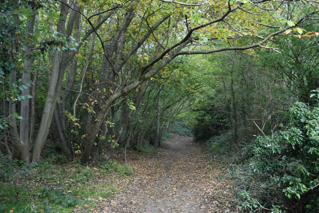
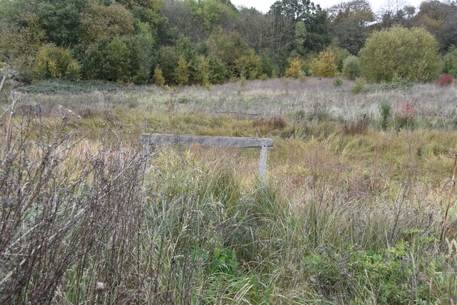
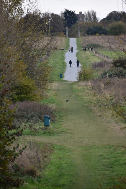
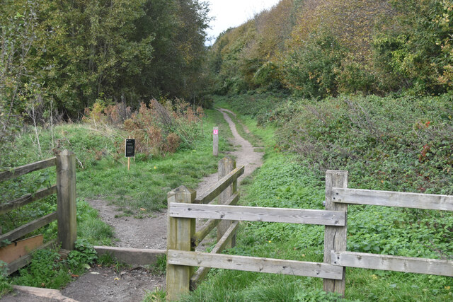
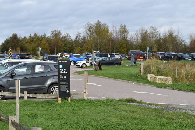
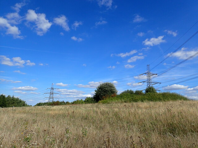
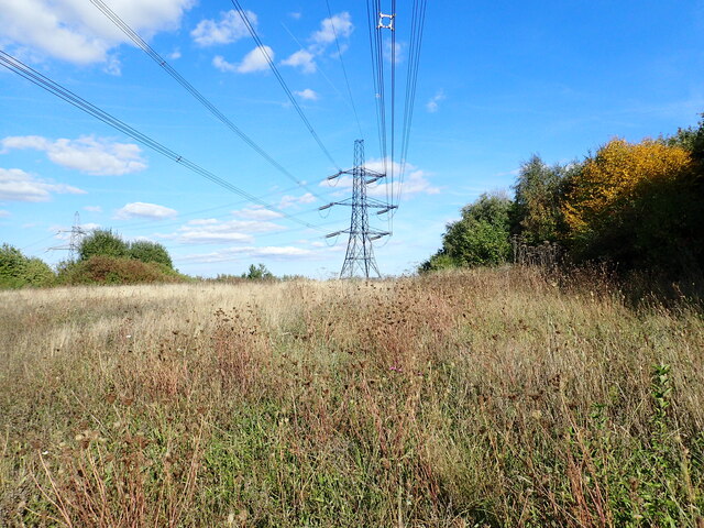
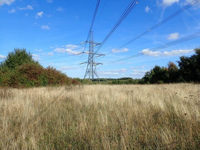
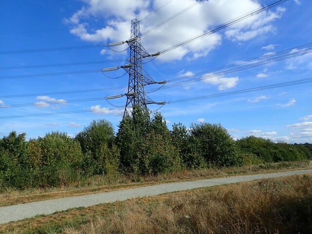
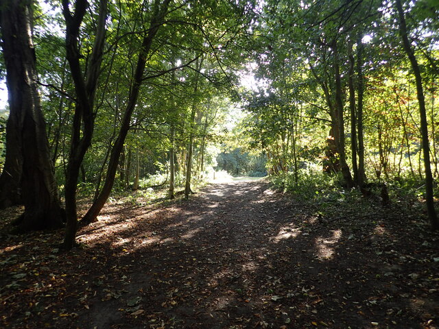
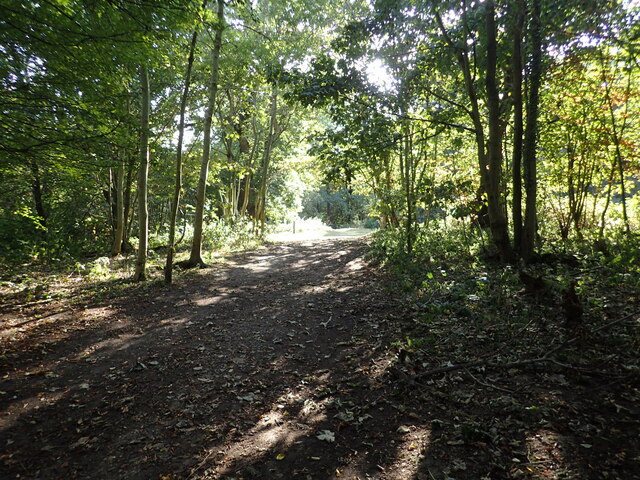
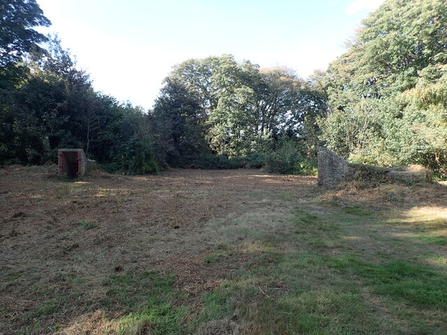
Thong Images
Images are sourced within 2km of 51.412893/0.403575 or Grid Reference TQ6770. Thanks to Geograph Open Source API. All images are credited.


Thong is located at Grid Ref: TQ6770 (Lat: 51.412893, Lng: 0.403575)
Administrative County: Kent
District: Gravesham
Police Authority: Kent
What 3 Words
///pace.cycles.brain. Near Gravesend, Kent
Nearby Locations
Related Wikis

Thong, Kent
Thong is a hamlet southeast of Gravesend in Kent, England. The population of the hamlet is included in the civil parish of Shorne. It has frequently been...

Gravesham
Gravesham ( GRAYV-shəm) is a local government district with borough status in north-west Kent, England. The council is based in its largest town of Gravesend...

Gravesend Airport
Gravesend Airport, located 2.5 miles (4.0 km) south-east of Gravesend town centre, Kent and 7.0 miles (11.3 km) west of Rochester. It was operated from...
Thamesview School
Thamesview School is a coeducational foundation high school and sixth form, located in Gravesend in the English county of Kent.It is administered by Kent...

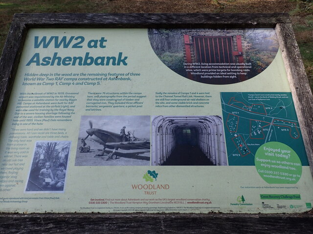
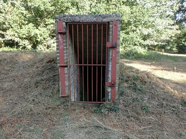
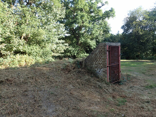
Shorne and Ashenbank Woods
Shorne and Ashenbank Woods is a 197.4-hectare (488-acre) biological Site of Special Scientific Interest between Rochester and Gravesend in Kent. Part of...

Jeskyns
Jeskyns is a park near Cobham, in Kent, England. A former farm, it was reopened as a large open-space recreational area in 2007, with areas being developed...

Shorne Wood Country Park
Shorne Wood Country Park is located between Strood and Gravesend, in the English county of Kent. It was once part of a large estate, later passed to the...

Singlewell Infrastructure Maintenance Depot
The Singlewell Infrastructure Maintenance Depot is a railway maintenance depot located near the Gravesend ward of Singlewell, Kent, in the United Kingdom...
Nearby Amenities
Located within 500m of 51.412893,0.403575Have you been to Thong?
Leave your review of Thong below (or comments, questions and feedback).