Town End

Settlement in Yorkshire

England

Town End

Old milestone On a bend on the south side of the A635 between Holmfirth and New Mills is this 19C West Riding CC milestone.   This area is called Wooldale and that name is on the top section.  Left face - HOLMFIRTH/1 MILE, right face - DENBY/DALE/5¾ MILES/CAWTHORNE/9 MILES/BARNSLEY/13 MILES.   The foundry name, BRAYSHAW & BOOTH/LIVERSEDGE is on the bevel.   Grade II listed 1313589.  It is in need of a clean and possible repaint.
Old milestone Credit: Chris Minto

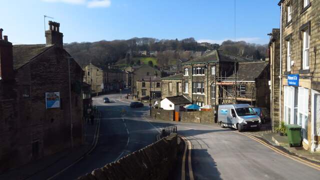
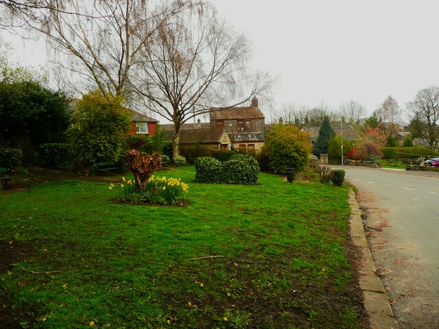
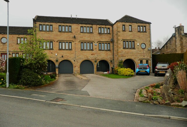
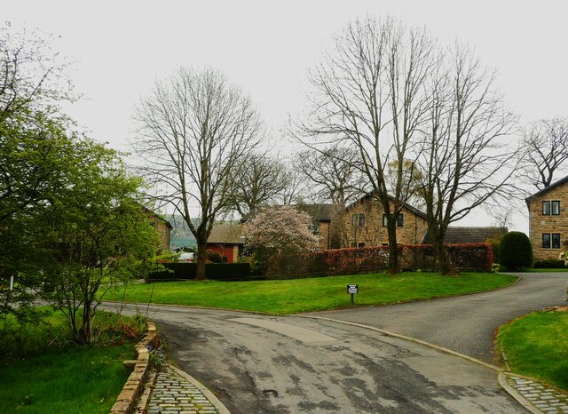
Town End is a small village located in the county of Yorkshire, England. Situated in the scenic countryside, it is nestled between the rolling hills and picturesque landscapes that define the region. With a population of around 500 residents, Town End exudes a charming and close-knit community atmosphere.

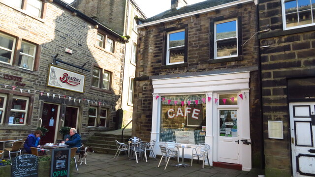
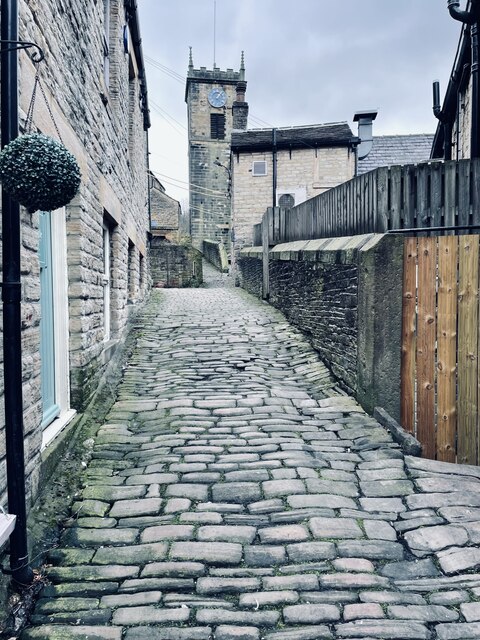
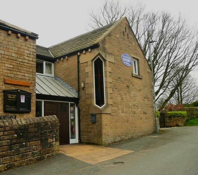
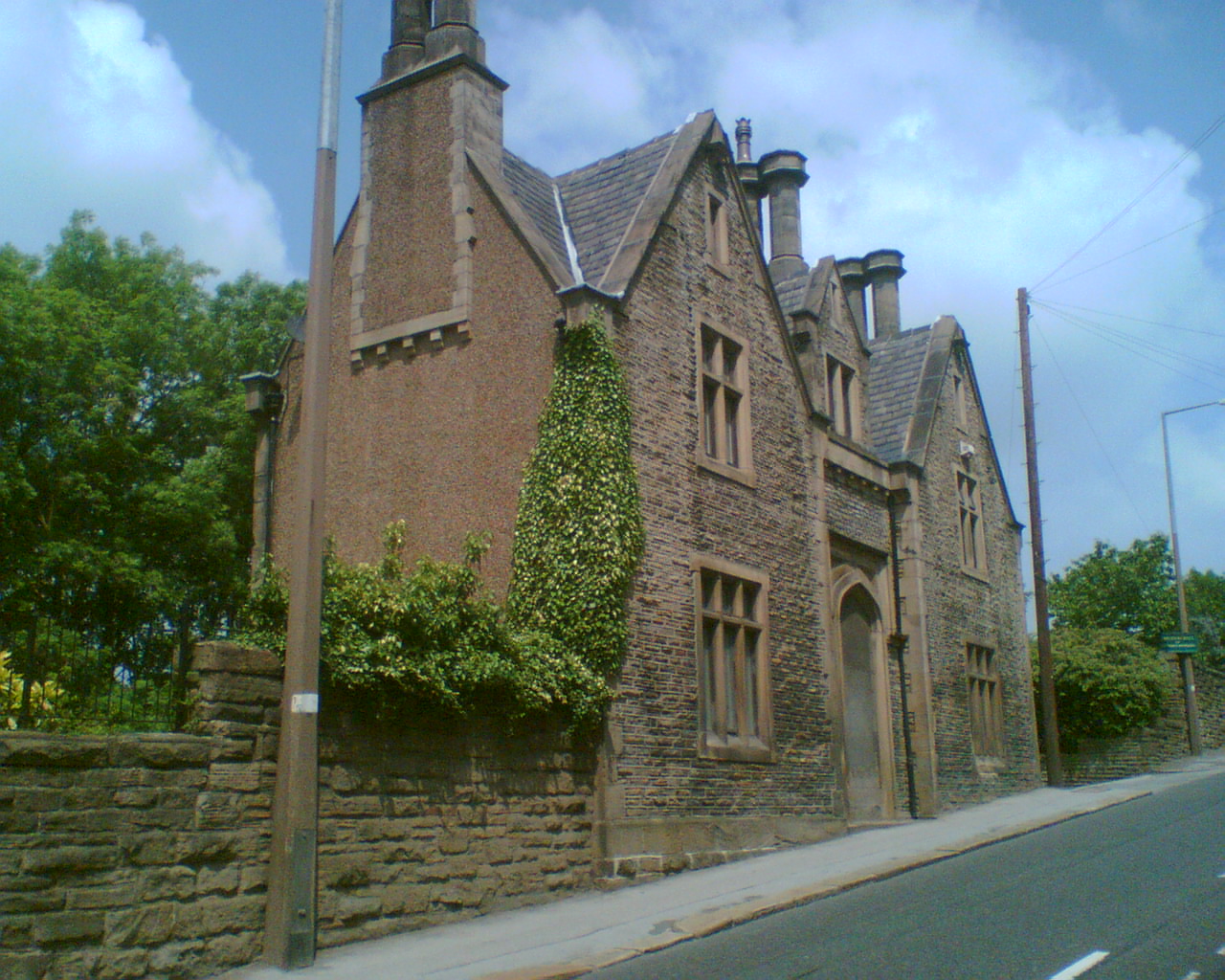
The village is characterized by its traditional stone-built houses, which add to its rustic appeal. Many of these houses date back centuries and are well-preserved, giving Town End a distinct historical ambiance. The local church, St. Mary's, stands proudly in the heart of the village and serves as a focal point for both religious and community events.

Despite its small size, Town End offers various amenities to its residents. There is a village hall that hosts regular gatherings, including community meetings and social events. The village also boasts a local pub, The Rose and Crown, which serves as a popular meeting place for locals and visitors alike.

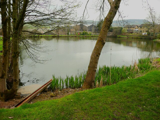
The surrounding countryside provides ample opportunities for outdoor activities. The village is blessed with breathtaking walking trails that wind through lush fields, woodlands, and babbling brooks. These trails offer a chance to explore the natural beauty of the area and enjoy peaceful moments away from the hustle and bustle of city life.

Overall, Town End, Yorkshire, is a quintessential English village that captivates visitors with its idyllic charm and serene surroundings. Its rich history, community spirit, and stunning landscapes make it a truly special place to both live and visit.

If you have any feedback on the listing, please let us know in the comments section below.
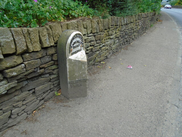
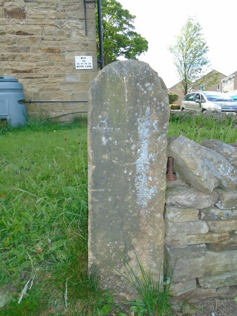
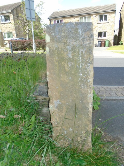
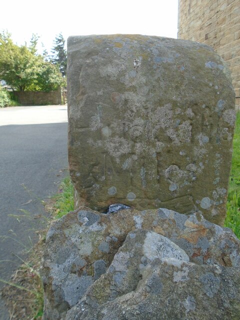
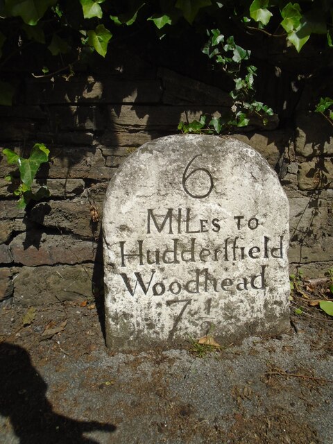
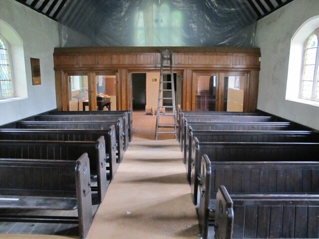
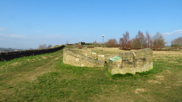
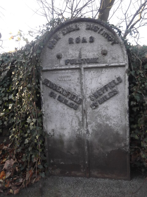
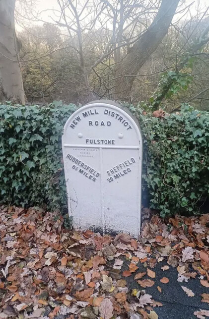
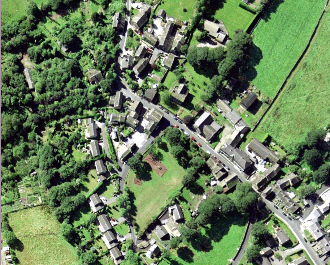
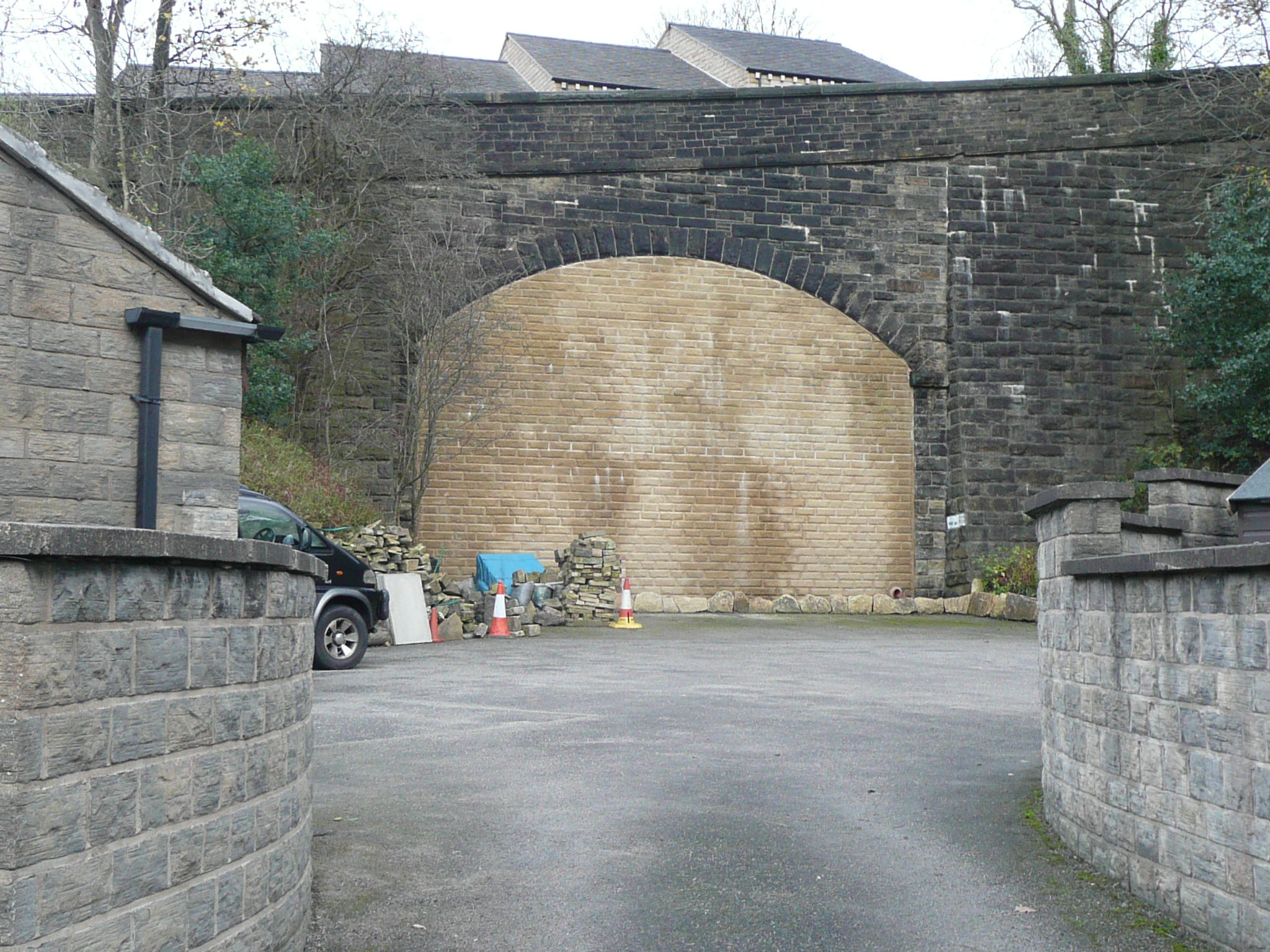
Town End Images

Images are sourced within 2km of 53.578525/-1.773552 or Grid Reference SE1509. Thanks to Geograph Open Source API. All images are credited.

Old milestone On a bend on the south side of the A635 between Holmfirth and New Mills is this 19C West Riding CC milestone.   This area is called Wooldale and that name is on the top section.  Left face - HOLMFIRTH/1 MILE, right face - DENBY/DALE/5¾ MILES/CAWTHORNE/9 MILES/BARNSLEY/13 MILES.   The foundry name, BRAYSHAW & BOOTH/LIVERSEDGE is on the bevel.   Grade II listed 1313589.  It is in need of a clean and possible repaint.
Old milestone
On a bend on the south side of the A635 between Holmfirth and New Mills is this 19C West Riding CC milestone. This area is called Wooldale and that name is on the top section. Left face - HOLMFIRTH/1 MILE, right face - DENBY/DALE/5¾ MILES/CAWTHORNE/9 MILES/BARNSLEY/13 MILES. The foundry name, BRAYSHAW & BOOTH/LIVERSEDGE is on the bevel. Grade II listed 1313589. It is in need of a clean and possible repaint.
Old milestone At the entrance to Lydgett Farm on Moor Lane, Netherthong is this out of place milestone.   It had been used as a gatepost at SE119092 and then on the top of a stone wall.   It has mileages to Penistone (penyston) 8 Miles, this face, Marsden and Huddersfield with pointing hands.  It is mentioned in WB Crump, Huddersfield Highways Down The Ages P146/147 and may have been at the crossroads Bradshaw Road/Wilshaw Mill Road near where it was used as a gatepost.

Milestone Society National ID: YW_XMELc
Old milestone
At the entrance to Lydgett Farm on Moor Lane, Netherthong is this out of place milestone. It had been used as a gatepost at SE119092 and then on the top of a stone wall. It has mileages to Penistone (penyston) 8 Miles, this face, Marsden and Huddersfield with pointing hands. It is mentioned in WB Crump, Huddersfield Highways Down The Ages P146/147 and may have been at the crossroads Bradshaw Road/Wilshaw Mill Road near where it was used as a gatepost. Milestone Society National ID: YW_XMELc
Old milestone The left face of the old milestone at Lydgett Farm.   With imagination, Marfden/5 miles can be discerned.
Old milestone
The left face of the old milestone at Lydgett Farm. With imagination, Marfden/5 miles can be discerned.
Old milestone The right face of the stone at the entrance to Lydgett Farm.   Inscribed Huddersfild, the s is above the r.  The top of the cuffed hand pointing to the left can just be seen.
Old milestone
The right face of the stone at the entrance to Lydgett Farm. Inscribed Huddersfild, the s is above the r. The top of the cuffed hand pointing to the left can just be seen.
Old milestone Just to the north of the town centre this stone from the 1768-1876 Huddersfield to Woodhead turnpike road is in a small lay-by.   Painted a few years ago it now needs a good wash.   The rest of the stones towards the top of Holme Moss, 7, 8, 9 AD 10 are in place and well painted.   In 2011 the Huddersfield 4 and 5 stones were also by the roadside.
Old milestone
Just to the north of the town centre this stone from the 1768-1876 Huddersfield to Woodhead turnpike road is in a small lay-by. Painted a few years ago it now needs a good wash. The rest of the stones towards the top of Holme Moss, 7, 8, 9 AD 10 are in place and well painted. In 2011 the Huddersfield 4 and 5 stones were also by the roadside.
Interior of St Andrew's church, Thongsbridge For the outside of the church, see <a href="https://www.geograph.org.uk/photo/751457">SE1409 : St Andrew's Church, Thongsbridge, Wooldale</a>. This is the inside, looking liturgical west (geographically south-west). 

The church was built in 1877 as a chapel of ease. A school was added in 1891. There was a burial ground opened in 1938 but it was never used for burials and was sold in 1988. 

Note: the building was closed for worship in 2013 and sold to a private owner in 2020 (after this photo was taken) with planning permission for residential conversion, so is no longer publicly accessible. This view shows it as it had been as a place of worship.
Interior of St Andrew's church, Thongsbridge
For the outside of the church, see SE1409 : St Andrew's Church, Thongsbridge, Wooldale. This is the inside, looking liturgical west (geographically south-west). The church was built in 1877 as a chapel of ease. A school was added in 1891. There was a burial ground opened in 1938 but it was never used for burials and was sold in 1988. Note: the building was closed for worship in 2013 and sold to a private owner in 2020 (after this photo was taken) with planning permission for residential conversion, so is no longer publicly accessible. This view shows it as it had been as a place of worship.
Stone sculpture with seating area at Wooldale Cliff above Holmfirth
View towards Victoria St, Holmfirth from South Lane
Holmfirth - Sid's Cafe
Daisy Lane and Holy Trinity Church, Holmfirth
Scholes Methodist Church, Wadman Road This is the entrance doorway and a tall corner window.
Scholes Methodist Church, Wadman Road
This is the entrance doorway and a tall corner window.
A little park at the wells, White Wells Road, Scholes The pump base and well weren't photogenic; they could do with cleaning and tidying.
A little park at the wells, White Wells Road, Scholes
The pump base and well weren't photogenic; they could do with cleaning and tidying.
Houses on Wickleton Gate, Scholes Houses with an unusual design, with arched entrances to the lower ground floor.
Houses on Wickleton Gate, Scholes
Houses with an unusual design, with arched entrances to the lower ground floor.
Millpond, Lee Mills, Scholes This is now a fishing lake. I had hoped that there was a path alongside it to the bottom end of St George's Road but the gate was locked, with a Keep Out sign. The heron that I saw had no such problems.
Millpond, Lee Mills, Scholes
This is now a fishing lake. I had hoped that there was a path alongside it to the bottom end of St George's Road but the gate was locked, with a Keep Out sign. The heron that I saw had no such problems.
Grass and trees, Wickleden Gate, Scholes It is good that three mature trees have been spared and a grass are created for them. These trees were on an old field boundary, so were probably hedgerow trees. there was a small mill dam behind them.
Grass and trees, Wickleden Gate, Scholes
It is good that three mature trees have been spared and a grass are created for them. These trees were on an old field boundary, so were probably hedgerow trees. there was a small mill dam behind them.
Old milestone One of the 615 West Riding CC milestones set up in 1893/94.   The contract to erect these milestones was won by Gill and Frank Stead, stonemasons, of Mirfield.   They had to be erected all over the old West Riding within 12 months and they achieved that.  This one is at the end wall of Attorney Croft. a relatively new build.   A few years ago a local painted many of these milestones in this area.  The mileage to Holmfirth on the right hand side is ¾ Mile.
Old milestone
One of the 615 West Riding CC milestones set up in 1893/94. The contract to erect these milestones was won by Gill and Frank Stead, stonemasons, of Mirfield. They had to be erected all over the old West Riding within 12 months and they achieved that. This one is at the end wall of Attorney Croft. a relatively new build. A few years ago a local painted many of these milestones in this area. The mileage to Holmfirth on the right hand side is ¾ Mile.
Old milestone Where space on a road or path was limited, Brayshaw and Booth of Liversedge made flat castings for the West Riding CC instead of protruding ones.   This one is on the A616 Sheffield Road, New Mill opposite No. 30 Fulstone.   When a town name had more than 10 letters the name had to be cast at an angle as with Huddersfield.   Then Sheffield was cast the same way to match.   The foundry name on these flat plates is always at the top of the left-hand side.  This milestone is Grade II listed 1228473.
Old milestone
Where space on a road or path was limited, Brayshaw and Booth of Liversedge made flat castings for the West Riding CC instead of protruding ones. This one is on the A616 Sheffield Road, New Mill opposite No. 30 Fulstone. When a town name had more than 10 letters the name had to be cast at an angle as with Huddersfield. Then Sheffield was cast the same way to match. The foundry name on these flat plates is always at the top of the left-hand side. This milestone is Grade II listed 1228473.
Old Milestone, A616, Sheffield Road, New Mill Opposite No 30 Fulstone. Located on the West side of road, opposite a terrace row, against stone wall. Metal plate attached to stone post, Brayshaw & Booth casting design, erected by Wadsley & Langsett - New Mill District turnpike trust, 19th century. An earlier photograph can be found here <a title="https://www.geograph.org.uk/photo/6748931" href="https://www.geograph.org.uk/photo/6748931">Link</a>.

Inscription reads: HUDDERSFIELD / 6½ MILES :: SHEFFIELD / 20 MILES // NEW MILL DISTRICT / ROAD / FULSTONE :: BRAYSHAW & BOOTH / MAKERS / LIVERSEDGE 

Grade II listed by Historic England. <span class="nowrap"><a title="https://historicengland.org.uk/listing/the-list/list-entry/1228473" rel="nofollow ugc noopener" href="https://historicengland.org.uk/listing/the-list/list-entry/1228473">Link</a><img style="margin-left:2px;" alt="External link" title="External link - shift click to open in new window" src="https://s1.geograph.org.uk/img/external.png" width="10" height="10"/></span>

Milestone Society National ID: YW_SFHU20
Old Milestone, A616, Sheffield Road, New Mill
Opposite No 30 Fulstone. Located on the West side of road, opposite a terrace row, against stone wall. Metal plate attached to stone post, Brayshaw & Booth casting design, erected by Wadsley & Langsett - New Mill District turnpike trust, 19th century. An earlier photograph can be found here Link. Inscription reads: HUDDERSFIELD / 6½ MILES :: SHEFFIELD / 20 MILES // NEW MILL DISTRICT / ROAD / FULSTONE :: BRAYSHAW & BOOTH / MAKERS / LIVERSEDGE Grade II listed by Historic England. LinkExternal link Milestone Society National ID: YW_SFHU20
Show me another place!

Town End is located at Grid Ref: SE1509 (Lat: 53.578525, Lng: -1.773552)

Division: West Riding

Unitary Authority: Kirklees

Police Authority: West Yorkshire

What 3 Words

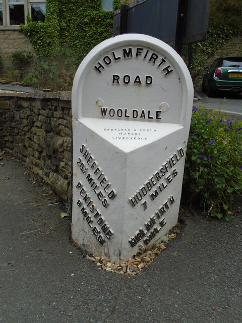
///lows.replenish.grandson. Near Holmfirth, West Yorkshire

Related Wikis

Holmfirth High School

Holmfirth High School is a coeducational secondary school located on Heys Road in Thongsbridge, Holmfirth, West Yorkshire, England. Holmfirth High School...

Wooldale

Wooldale is a small village nestled on a hill, overlooking the Kirkroyds area of New Mill, Holmfirth in West Yorkshire, England. It has a population of...

Thongs Bridge railway station

Thongs Bridge railway station was the only intermediate stop on the railway line between Brockholes and Holmfirth, West Yorkshire, England. Opened in July...

Thongsbridge

Thongsbridge is a small village in the Kirklees district of West Yorkshire, England. It is in the semi-rural Holme Valley and the village boundaries merge...

Holme Valley War Memorial

Holme Valley War Memorial is a war memorial in the grounds of the Holme Valley Memorial Hospital Holmfirth, West Yorkshire, in England. It was unveiled...

Holmfirth railway station

Holmfirth railway station is a former railway station that served the town of Holmfirth in West Yorkshire, England. == History == The branch line to Holmfirth...

Totties

Totties is a hamlet between New Mill and Scholes near Holmfirth in West Yorkshire, England. Although it consists of no more than 70-80 houses, it has within...

Holy Trinity Church, Holmfirth

Holy Trinity Church, Holmfirth is an Anglican church in the town of Holmfirth in West Yorkshire, England. Holmfirth's chapelry historically covered townships...

Related Videos

Hiking around Summer wine Country

Hiking around Holmfirth Holmbrige Lovely views Great Lovely Old spectacular English village here in the Heart of Holmfirth ...

HOLMFIRTH England | Full tour of Holmfirth West Yorkshire, Last Of The Summer Wine Country (4K WALK)

HOLMFIRTH England | Full tour of Holmfirth West Yorkshire, Last Of The Summer Wine Country (4K) Full 4k Virtual Walk through ...

Nearby Amenities

Located within 500m of 53.578525,-1.773552
Wooldale
Is In: West Yorkshire, England, UK
Place: village
Wikidata: Q8033782
Wikipedia: en:Wooldale
Lat/Long: 53.5769083/-1.7709881
Bus Stop
New Mill Road Rosegarth Avenue
Bus: yes
Local Ref: 45022002
Naptan AtcoCode: 450022002
Naptan Bearing: NW
Naptan CommonName: New Mill Road Rosegarth Avenue
Naptan Crossing: Rosegarth Avenue
Naptan Indicator: Stop 45022002
Naptan PlusbusZoneRef: LEEDS
Naptan ShortCommonName: Rosegarth Avenue
Naptan Street: New Mill Road
Naptan Verified: no
Public Transport: platform
Source: naptan_import
Lat/Long: 53.580891/-1.7718794
Bus Stop
New Mill Road Heys Road
Bus: yes
Local Ref: 45022003
Naptan AtcoCode: 450022003
Naptan Bearing: SE
Naptan CommonName: New Mill Road Heys Road
Naptan Crossing: Heys Road
Naptan Indicator: Stop 45022003
Naptan PlusbusZoneRef: LEEDS
Naptan ShortCommonName: Heys Road
Naptan Street: New Mill Road
Naptan Verified: no
Public Transport: platform
Source: naptan_import
Lat/Long: 53.5808179/-1.7712908
Bus Stop
New Mill Road Springwood Road
Bench: no
Bin: yes
Bus: yes
Lit: yes
Local Ref: 45022004
Naptan AtcoCode: 450022004
Naptan Bearing: E
Naptan CommonName: New Mill Road Springwood Road
Naptan Crossing: Springwood Road
Naptan Indicator: Stop 45022004
Naptan Landmark: The Sycamore PH
Naptan PlusbusZoneRef: LEEDS
Naptan ShortCommonName: Springwood Road
Naptan Street: New Mill Road
Naptan Verified: no
Public Transport: platform
Shelter: yes
Source: naptan_import
Tactile Paving: no
Lat/Long: 53.5798836/-1.7686498
Bus Stop
New Mill Road Robert Lane
Bus: yes
Local Ref: 45022005
Naptan AtcoCode: 450022005
Naptan Bearing: NW
Naptan CommonName: New Mill Road Robert Lane
Naptan Crossing: Robert Lane
Naptan Indicator: Stop 45022005
Naptan Landmark: The Sycamore PH
Naptan PlusbusZoneRef: LEEDS
Naptan ShortCommonName: Robert Lane
Naptan Street: New Mill Road
Naptan Verified: no
Public Transport: platform
Source: naptan_import
Lat/Long: 53.5798425/-1.7688643
Bus Stop
New Mill Road Bank Lane
Bus: yes
Local Ref: 45022001
Naptan AtcoCode: 450022001
Naptan Bearing: NE
Naptan CommonName: New Mill Road Bank Lane
Naptan Crossing: Bank Lane
Naptan Indicator: Stop 45022001
Naptan PlusbusZoneRef: LEEDS
Naptan ShortCommonName: Bank Lane
Naptan Street: New Mill Road
Naptan Verified: no
Public Transport: platform
Shelter: yes
Source: naptan_import
Lat/Long: 53.5790041/-1.7770248
Bus Stop
New Mill Road Bromley Avenue
Bus: yes
Local Ref: 45023937
Naptan AtcoCode: 450023937
Naptan Bearing: E
Naptan CommonName: New Mill Road Bromley Avenue
Naptan Crossing: Bromley Avenue
Naptan Indicator: Stop 45023937
Naptan PlusbusZoneRef: LEEDS
Naptan ShortCommonName: Bromley Avenue
Naptan Street: New Mill Road
Naptan Verified: no
Public Transport: platform
Source: naptan_import
Lat/Long: 53.5794067/-1.7666313
Heys Road
Local Ref: 45024486
Naptan AtcoCode: 450024486
Naptan Bearing: SE
Naptan BusStopType: CUS
Naptan CommonName: Heys Road
Naptan Crossing: Nr-At Miry Lane
Naptan Indicator: Stop 45024486
Naptan Landmark: Holmfirth High School
Naptan PlusbusZoneRef: LEEDS
Naptan ShortCommonName: Holmfirth High Sch
Naptan Street: Heys Road
Naptan Verified: no
Source: naptan_import
Lat/Long: 53.5827442/-1.7727002
Bus Stop
Robert Lane Lower Town End Road
Bus: yes
Local Ref: 45024488
Naptan AtcoCode: 450024488
Naptan Bearing: S
Naptan CommonName: Robert Lane Lower Town End Road
Naptan Crossing: Lower Town End Road
Naptan Indicator: Stop 45024488
Naptan PlusbusZoneRef: LEEDS
Naptan ShortCommonName: Lower Town End Road
Naptan Street: Robert Lane
Naptan Verified: no
Public Transport: platform
Source: naptan_import
Lat/Long: 53.5785947/-1.7696867
Wooldale Road
Local Ref: 45024501
Naptan AtcoCode: 450024501
Naptan Bearing: NW
Naptan BusStopType: CUS
Naptan CommonName: Wooldale Road
Naptan Crossing: Little Lane
Naptan Indicator: Stop 45024501
Naptan Landmark: Church
Naptan PlusbusZoneRef: LEEDS
Naptan ShortCommonName: Little Lane
Naptan Street: Wooldale Road
Naptan Verified: no
Source: naptan_import
Lat/Long: 53.5763948/-1.7709069
Town End Road Leyfield Bank
Local Ref: 45024343
Naptan AtcoCode: 450024343
Naptan Bearing: W
Naptan BusStopType: CUS
Naptan CommonName: Town End Road Leyfield Bank
Naptan Crossing: Leyfield Bank
Naptan Indicator: Stop 45024343
Naptan PlusbusZoneRef: LEEDS
Naptan ShortCommonName: Leyfield Bank
Naptan Street: Town End Road
Naptan Verified: no
Source: naptan_import
Lat/Long: 53.578521/-1.7734479
Bus Stop
New Mill Road Bank Lane
Bus: yes
Local Ref: 45024376
Naptan AtcoCode: 450024376
Naptan Bearing: SW
Naptan CommonName: New Mill Road Bank Lane
Naptan Crossing: Bank Lane
Naptan Indicator: Stop 45024376
Naptan PlusbusZoneRef: LEEDS
Naptan ShortCommonName: Bank Lane
Naptan Street: New Mill Road
Naptan Verified: no
Public Transport: platform
Shelter: yes
Source: naptan_import
Lat/Long: 53.5794612/-1.7763126
Bus Stop
Royds Avenue Royds Close
Bus: yes
Local Ref: 45024868
Naptan AtcoCode: 450024868
Naptan Bearing: S
Naptan CommonName: Royds Avenue Royds Close
Naptan Crossing: Nr-At Royds Close
Naptan Indicator: Stop 45024868
Naptan PlusbusZoneRef: LEEDS
Naptan ShortCommonName: Kirkroyds Lane
Naptan Street: Royds Avenue
Naptan Verified: no
Public Transport: platform
Source: naptan_import
Lat/Long: 53.5767017/-1.766918
Bus Stop
Kirkroyds Lane Royds Avenue
Bus: yes
Local Ref: 45024869
Naptan AtcoCode: 450024869
Naptan Bearing: W
Naptan CommonName: Kirkroyds Lane Royds Avenue
Naptan Crossing: Royds Avenue
Naptan Indicator: Stop 45024869
Naptan Landmark: Kirkroyds Infant School
Naptan PlusbusZoneRef: LEEDS
Naptan ShortCommonName: Royds Avenue
Naptan Street: Kirkroyds Lane
Naptan Verified: no
Public Transport: platform
Source: naptan_import
Lat/Long: 53.5778894/-1.7675307
Bus Stop
Robert Lane Daleside Avenue
Bus: yes
Naptan AtcoCode: 450028600
Naptan Bearing: S
Naptan CommonName: Robert Lane Daleside Avenue
Naptan Crossing: Daleside Avenue
Naptan Landmark: Unknown
Naptan PlusbusZoneRef: LEEDS
Naptan ShortCommonName: Daleside Avenue
Naptan Street: Robert Lane
Naptan Verified: no
Public Transport: platform
Source: naptan_import
Lat/Long: 53.5796004/-1.7691677
Robert Lane Lower Town End Road
Local Ref: 45051457
Naptan AtcoCode: 450051457
Naptan Bearing: S
Naptan BusStopType: CUS
Naptan CommonName: Robert Lane Lower Town End Road
Naptan Indicator: Stop 45051457
Naptan PlusbusZoneRef: LEEDS
Naptan ShortCommonName: Robert Lane
Naptan Street: Robert Lane
Naptan Verified: no
Source: naptan_import
Lat/Long: 53.578595/-1.7698528
Royds Avenue
Local Ref: 45051484
Naptan AtcoCode: 450051484
Naptan Bearing: N
Naptan BusStopType: CUS
Naptan CommonName: Royds Avenue
Naptan Indicator: Stop 45051484
Naptan PlusbusZoneRef: LEEDS
Naptan ShortCommonName: Royds Close
Naptan Street: Royds Avenue
Naptan Verified: no
Source: naptan_import
Lat/Long: 53.5767019/-1.7670087
Kirkroyds Lane Kirkroyds Infants School
Local Ref: 45051485
Naptan AtcoCode: 450051485
Naptan Bearing: E
Naptan BusStopType: CUS
Naptan CommonName: Kirkroyds Lane Kirkroyds Infants School
Naptan Indicator: Stop 45051485
Naptan PlusbusZoneRef: LEEDS
Naptan ShortCommonName: Daleside Avenue
Naptan Street: Kirkroyds Lane
Naptan Verified: no
Source: naptan_import
Lat/Long: 53.5779343/-1.7675003
Noexit: yes
Lat/Long: 53.5824374/-1.777251
Parking
Lat/Long: 53.5821848/-1.7706966
Power: substation
Lat/Long: 53.5801896/-1.769264
Waste Basket
Lat/Long: 53.5804089/-1.769696
Bench
Lat/Long: 53.5804025/-1.7697764
Height: 2
Waterway: weir
Lat/Long: 53.5785532/-1.7807529
Pub
Wooldale Arms
Addr City: Holmfirth
Addr Country: GB
Addr Housenumber: 53
Addr Postcode: HD9 1QG
Addr Street: Wooldale Road
Addr Suburb: Wooldale
Fhrs Id: 705949
Source Addr: FHRS Open Data
Lat/Long: 53.5761479/-1.7703107
Generator Method: photovoltaic
Generator Output Electricity: small_installation
Generator Source: solar
Generator Type: solar_photovoltaic_panel
Note: roof household
Power: generator
Lat/Long: 53.5808452/-1.7721655
Generator Method: photovoltaic
Generator Output Electricity: small_installation
Generator Source: solar
Generator Type: solar_photovoltaic_panel
Note: roof household
Power: generator
Lat/Long: 53.5804683/-1.7730602
Generator Method: photovoltaic
Generator Output Electricity: small_installation
Generator Source: solar
Generator Type: solar_photovoltaic_panel
Note: roof household
Power: generator
Lat/Long: 53.5804214/-1.7728285
Generator Method: photovoltaic
Generator Output Electricity: small_installation
Generator Source: solar
Generator Type: solar_photovoltaic_panel
Note: roof household
Power: generator
Lat/Long: 53.5799385/-1.7734517
Generator Method: photovoltaic
Generator Output Electricity: small_installation
Generator Source: solar
Generator Type: solar_photovoltaic_panel
Note: roof household
Power: generator
Lat/Long: 53.5794384/-1.7737308
Generator Method: photovoltaic
Generator Output Electricity: small_installation
Generator Source: solar
Generator Type: solar_photovoltaic_panel
Note: roof household
Power: generator
Lat/Long: 53.5785895/-1.7739121
Generator Method: photovoltaic
Generator Output Electricity: small_installation
Generator Source: solar
Generator Type: solar_photovoltaic_panel
Note: roof household
Power: generator
Lat/Long: 53.5786676/-1.7718729
Generator Method: photovoltaic
Generator Output Electricity: small_installation
Generator Source: solar
Generator Type: solar_photovoltaic_panel
Note: roof household
Power: generator
Lat/Long: 53.5780044/-1.7738938
Description: 12 panels
Generator Method: photovoltaic
Generator Output Electricity: small_installation
Generator Source: solar
Generator Type: solar_photovoltaic_panel
Note: roof household
Power: generator
Lat/Long: 53.5786933/-1.7677826
Description: 16 panels
Generator Method: photovoltaic
Generator Output Electricity: small_installation
Generator Source: solar
Generator Type: solar_photovoltaic_panel
Note: roof household
Power: generator
Lat/Long: 53.5786242/-1.767344
Description: 10 panels
Generator Method: photovoltaic
Generator Output Electricity: small_installation
Generator Source: solar
Generator Type: solar_photovoltaic_panel
Note: roof household
Power: generator
Lat/Long: 53.579191/-1.7667069
Post Box
Collection Times: Mo-Fr 09:00; Sa 07:00
Operator: Royal Mail
Post Box Type: wall
Ref: HD9 135D
Royal Cypher: GVIR
Royal Cypher Wikidata: Q33102169
Source: survey
Lat/Long: 53.5799421/-1.7693003
Crossing
Crossing: traffic_signals
Crossing Ref: pelican
Lat/Long: 53.5801755/-1.7696621
Noexit: yes
Lat/Long: 53.5793808/-1.7796227
Barrier: bollard
Bollard: fixed
Count: 2
Material: concrete
Source: survey
Lat/Long: 53.5807633/-1.7762022
Defibrillator
Access: yes
Colour Border: yellow
Colour Main: green
Defibrillator Location: on wall outside Co-op, Wooldale Road, Wooldale
Description: Wooldale Co-Op
Emergency: defibrillator
Indoor: no
Opening Hours: 24/7
Ref: AAH84
Ref GB The Circuit: 5F1E6DD7-25B9-437A-AE52-AD4100B6B0BA
Source: survey
Support: wall
Survey Date: 2021-04-28
Lat/Long: 53.5765728/-1.7711637
Post Box
Collection Times: Mo-Fr 09:00; Sa 07:00
Operator: Royal Mail
Post Box Type: wall
Ref: HD9 312D
Royal Cypher: EIIR
Royal Cypher Wikidata: Q33102113
Source: survey
Lat/Long: 53.5791065/-1.7766837
Access: private
Barrier: chain
Source: survey
Lat/Long: 53.579468/-1.7706934
Post Box
Collection Times: Mo-Fr 09:00; Sa 07:00
Operator: Royal Mail
Post Box Type: wall
Ref: HD9 180D
Royal Cypher: GVIR
Royal Cypher Wikidata: Q33102169
Source: survey
Lat/Long: 53.5765215/-1.7710592
Power: substation
Substation: minor_distribution
Lat/Long: 53.5782924/-1.7678063
Artwork Type: totem_pole
Tourism: artwork
Lat/Long: 53.5781581/-1.7808306
The Veg Box
Booth: K6
Covered: booth
Disused Amenity: telephone
Listed Status: Grade II
Man Made: telephone_box
Old Phone: +44 1484 682698
Lat/Long: 53.5762474/-1.7707304
Direction: both
Surface: asphalt
Traffic Calming: table
Lat/Long: 53.5808397/-1.7690777
Direction: both
Surface: asphalt
Traffic Calming: table
Lat/Long: 53.5815578/-1.768699
Watering Place
Lat/Long: 53.5757513/-1.7698982
Bench
Backrest: yes
Lat/Long: 53.574549/-1.7764505
Leisure: picnic_table
Lat/Long: 53.5765129/-1.770602
Bench
Backrest: yes
Lat/Long: 53.5757951/-1.7700541
Bench
Backrest: yes
Lat/Long: 53.5763788/-1.7704718
Bench
Backrest: yes
Lat/Long: 53.57803/-1.7809022
The data included in this document is from www.openstreetmap.org. The data is made available under ODbL.

Have you been to Town End?

Leave your review of Town End below (or comments, questions and feedback).