Spring Wood
Wood, Forest in Yorkshire
England
Spring Wood
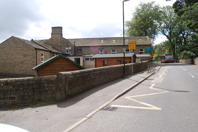
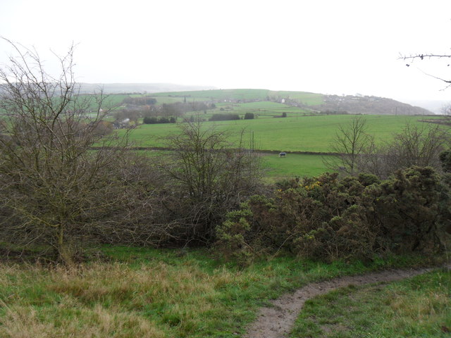
Spring Wood is a picturesque woodland located in the county of Yorkshire, England. Situated on the outskirts of a small village, it covers an area of approximately 50 acres and is renowned for its natural beauty and diverse ecosystem. The wood is primarily made up of deciduous trees, including oak, beech, and ash, which create a stunning display of vibrant colors during the autumn season.
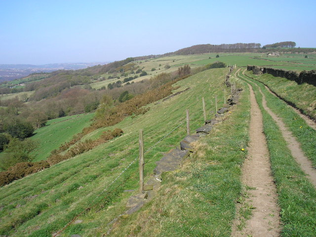
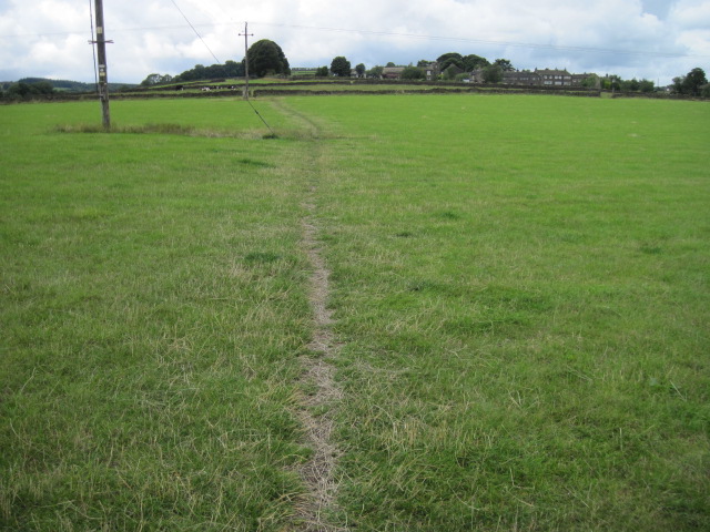
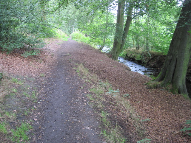
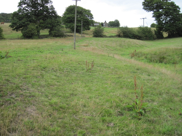
The wood is intersected by several well-maintained footpaths, allowing visitors to explore its enchanting surroundings. As they meander through the wood, visitors can encounter a variety of wildlife, such as squirrels, rabbits, and a rich assortment of bird species. The tranquil atmosphere and peaceful ambiance make it an ideal location for nature enthusiasts and those seeking a break from the hustle and bustle of everyday life.
Spring Wood is also home to a small stream that flows through its heart, adding to its charm and providing a refreshing backdrop to the woodland experience. The stream is dotted with moss-covered rocks and small waterfalls, creating a soothing melody as the water cascades downstream.
Throughout the year, Spring Wood hosts several events and activities, including guided nature walks, educational workshops, and even art exhibitions inspired by the natural surroundings. These events attract both locals and tourists, fostering a sense of community and appreciation for the woodland's unique features.
Overall, Spring Wood offers an idyllic retreat for nature lovers, providing an opportunity to immerse oneself in the beauty of Yorkshire's countryside. Its diverse flora and fauna, coupled with its serene atmosphere, make it a must-visit destination for anyone looking to connect with nature and enjoy the tranquility of a woodland setting.
If you have any feedback on the listing, please let us know in the comments section below.
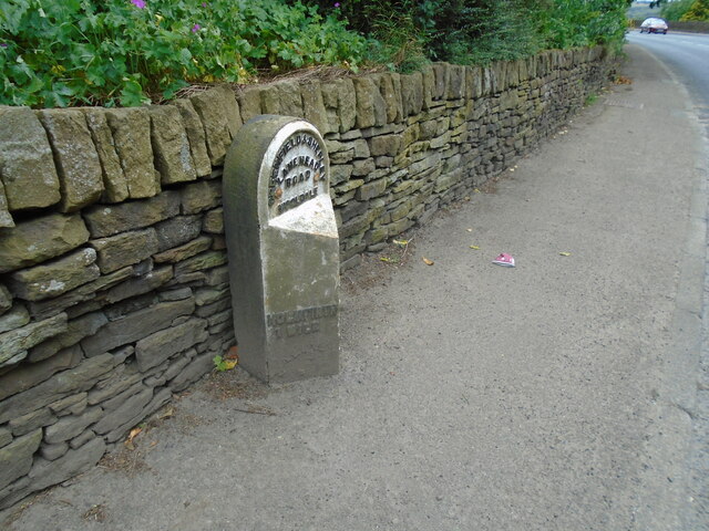
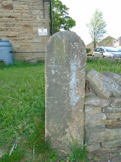
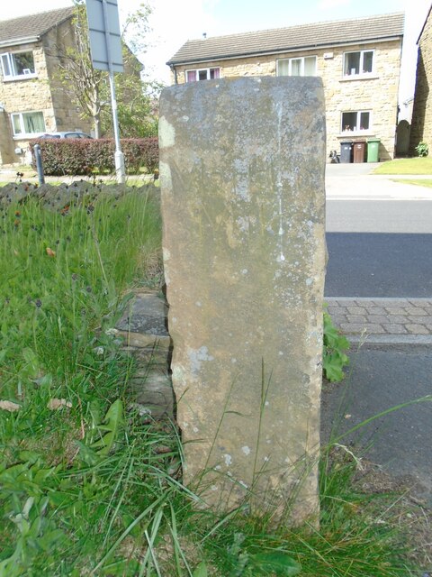
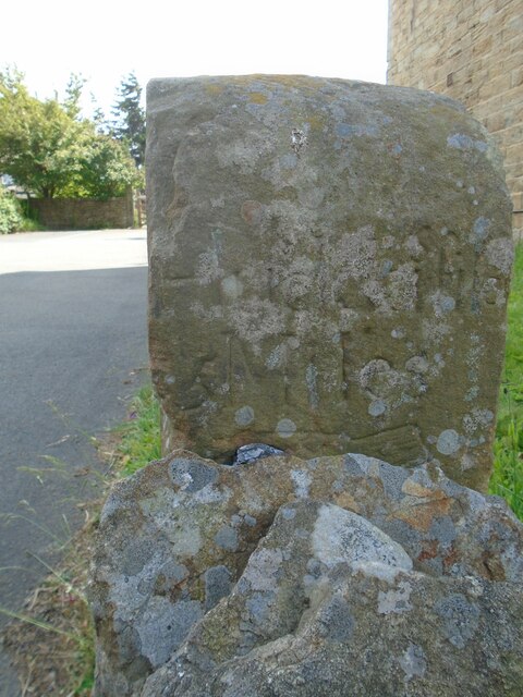
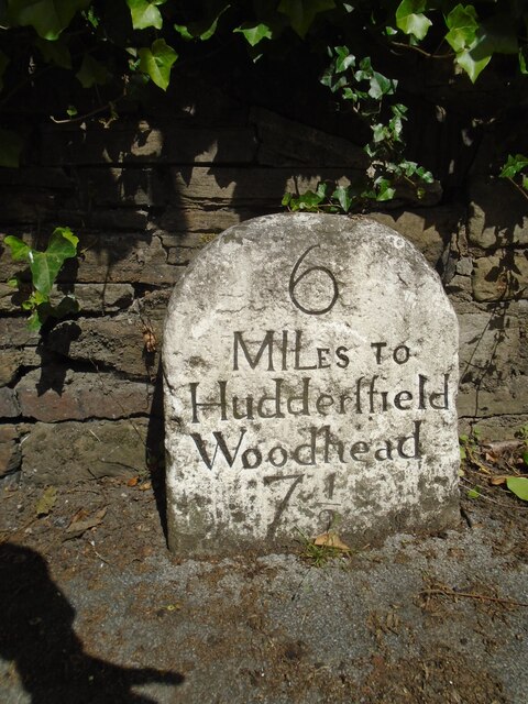
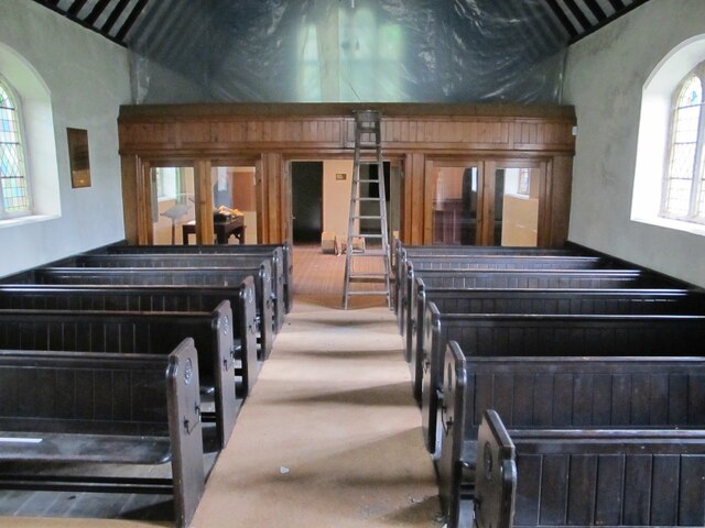
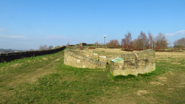
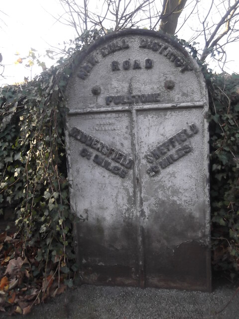
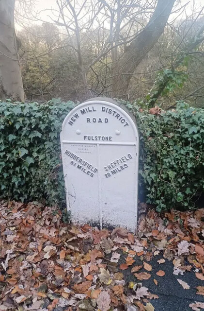
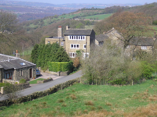
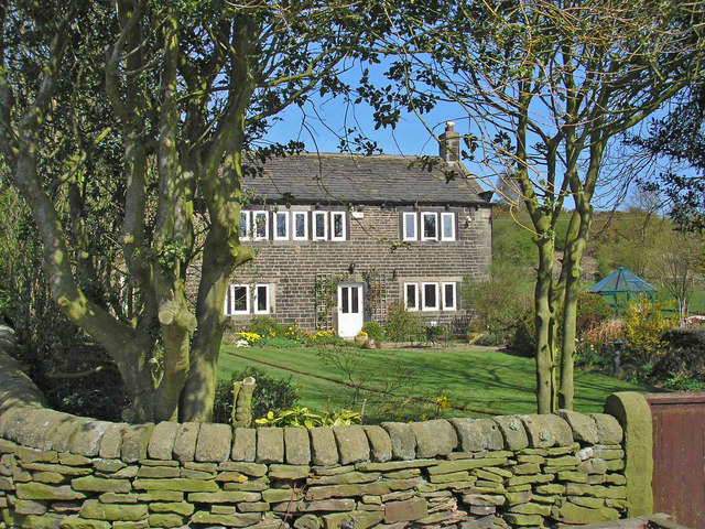
Spring Wood Images
Images are sourced within 2km of 53.585905/-1.7694643 or Grid Reference SE1509. Thanks to Geograph Open Source API. All images are credited.

Spring Wood is located at Grid Ref: SE1509 (Lat: 53.585905, Lng: -1.7694643)
Division: West Riding
Unitary Authority: Kirklees
Police Authority: West Yorkshire
What 3 Words
///person.tried.spark. Near Holmfirth, West Yorkshire
Nearby Locations
Related Wikis
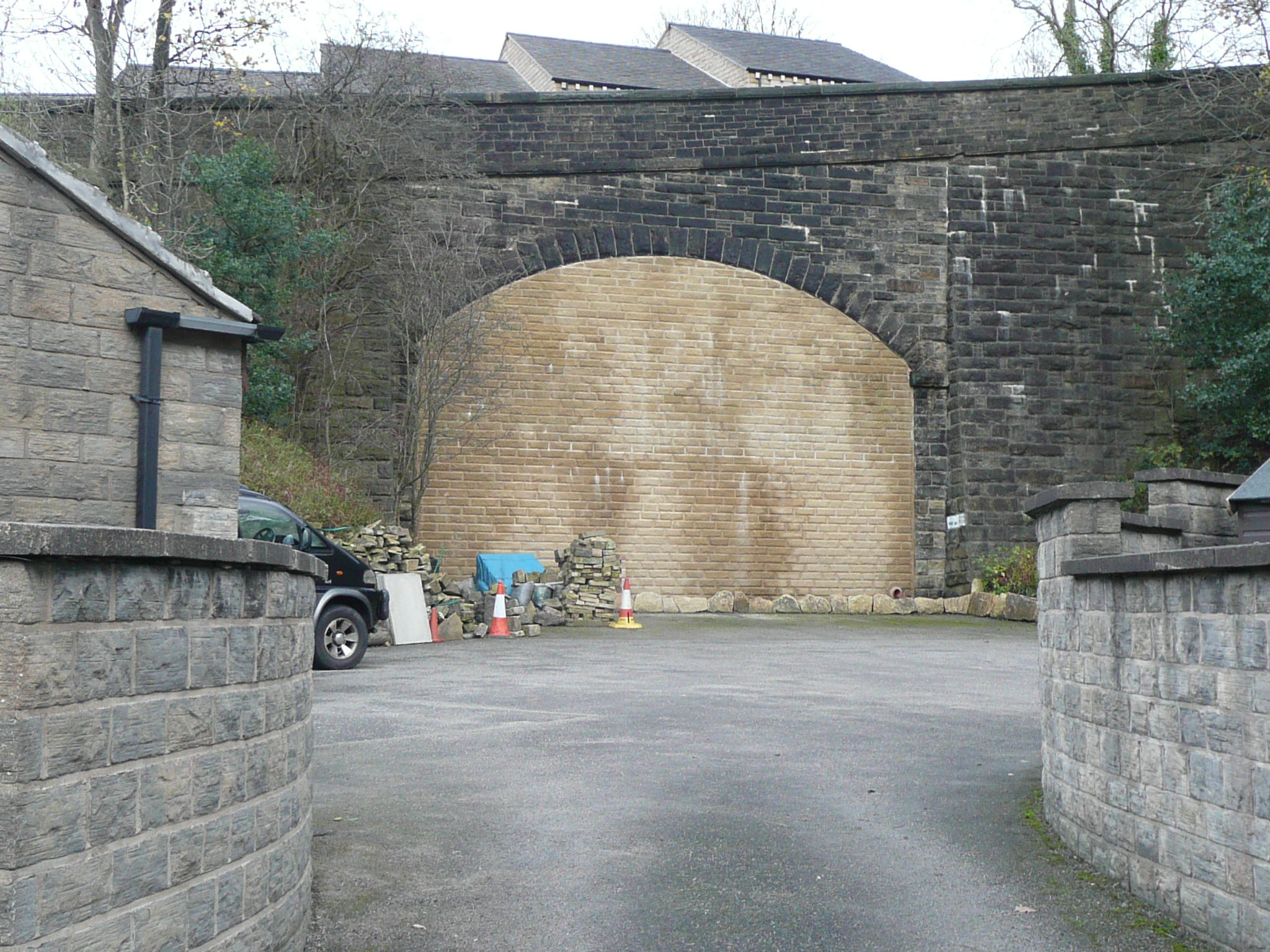
Thongs Bridge railway station
Thongs Bridge railway station was the only intermediate stop on the railway line between Brockholes and Holmfirth, West Yorkshire, England. Opened in July...

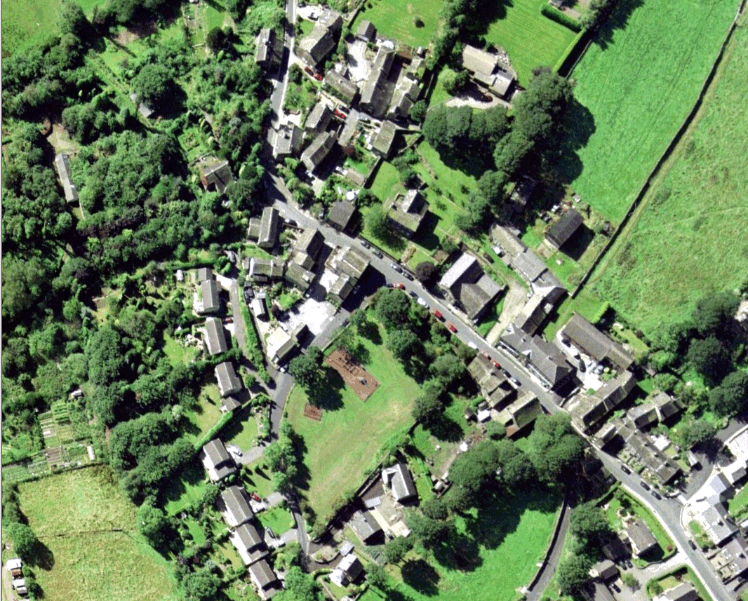
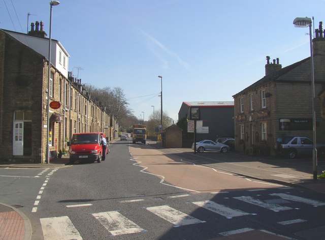
Thongsbridge
Thongsbridge is a small village in the Kirklees district of West Yorkshire, England. It is in the semi-rural Holme Valley and the village boundaries merge...

Holmfirth High School
Holmfirth High School is a coeducational secondary school located on Heys Road in Thongsbridge, Holmfirth, West Yorkshire, England. Holmfirth High School...
Wooldale
Wooldale is a small village nestled on a hill, overlooking the Kirkroyds area of New Mill, Holmfirth in West Yorkshire, England. It has a population of...

Holme Valley War Memorial
Holme Valley War Memorial is a war memorial in the grounds of the Holme Valley Memorial Hospital Holmfirth, West Yorkshire, in England. It was unveiled...

Brockholes railway station
Brockholes railway station serves the village of Brockholes, near Huddersfield in West Yorkshire. It lies 4.25 miles (7 km) away from Huddersfield on the...
Brockholes
Brockholes is a small village in West Yorkshire, England, in the administrative area of Kirklees Metropolitan Council and Holme Valley Parish Council....

Thurstonland
Thurstonland is a village in the civil parish of Kirkburton, in Kirklees, West Yorkshire, England. It has a population of almost 400. The village is on...
Nearby Amenities
Located within 500m of 53.585905,-1.7694643Have you been to Spring Wood?
Leave your review of Spring Wood below (or comments, questions and feedback).