Barlow Gill Wood

Wood, Forest in Durham

England

Barlow Gill Wood

Spen Banks View across Spen Banks and pylons.  Road leads to Hookergate Comprehensive School and Spen Lane to the right and Hugar Road on the left.
Spen Banks Credit: Colin Edgar

Barlow Gill Wood is a picturesque forest located in Durham, England. Covering an area of approximately 50 acres, it is a popular destination for nature enthusiasts and those seeking a peaceful retreat from the hustle and bustle of city life.

The wood is characterized by its dense canopy of mature trees, which include oak, beech, and silver birch. These towering trees provide a habitat for a wide variety of flora and fauna, making it a haven for wildlife. Visitors can expect to spot woodland birds such as woodpeckers, thrushes, and owls, as well as small mammals like squirrels and rabbits.

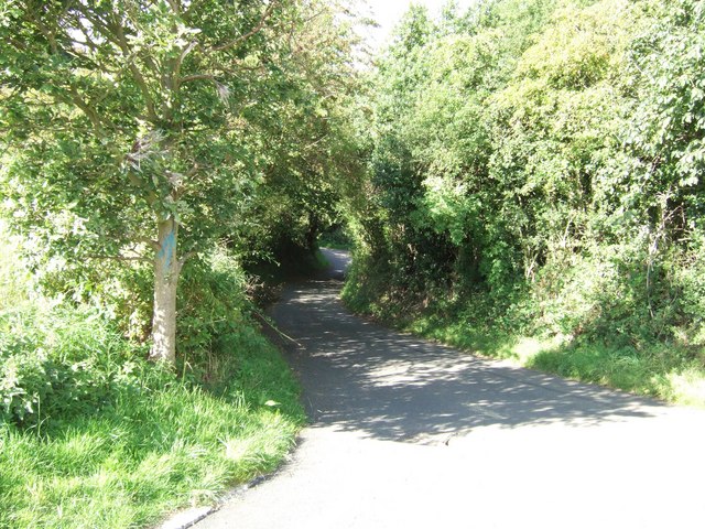
Several well-maintained footpaths wind their way through the forest, offering visitors the chance to explore its natural beauty. These paths are suitable for walkers of all abilities and are often frequented by dog walkers and families. Along the way, visitors can enjoy the tranquil atmosphere and take in the sights and sounds of the woodland.

Barlow Gill Wood is also home to a small stream, which meanders through the forest, adding to its charm. The stream provides a refreshing place for visitors to relax and enjoy a picnic, and children can often be seen paddling and playing in its shallow waters.

Overall, Barlow Gill Wood is a hidden gem in Durham's countryside, offering visitors a chance to immerse themselves in nature and escape the stresses of everyday life. Whether it's a leisurely walk, birdwatching, or simply enjoying a peaceful picnic, this woodland provides a serene and enchanting experience for all who visit.

If you have any feedback on the listing, please let us know in the comments section below.

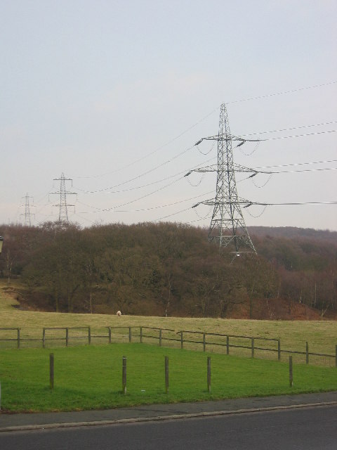
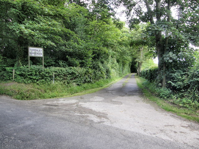
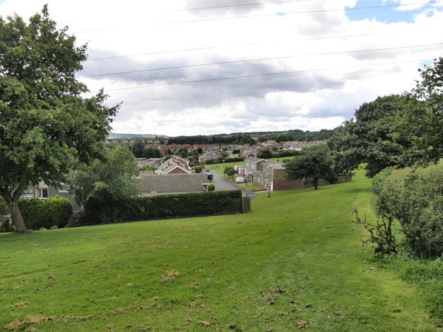
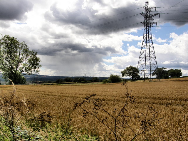
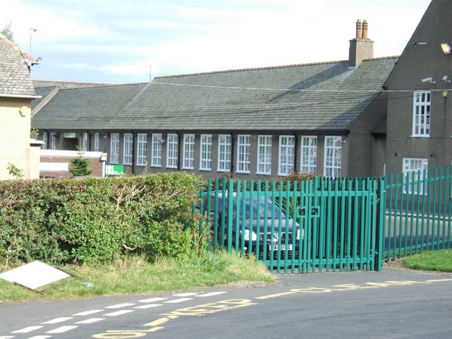
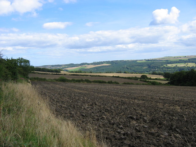
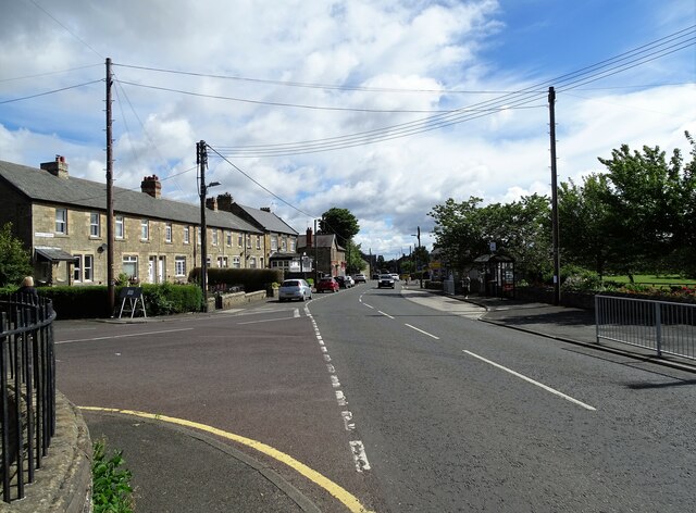
Barlow Gill Wood Images

Images are sourced within 2km of 54.943481/-1.7617562 or Grid Reference NZ1561. Thanks to Geograph Open Source API. All images are credited.

Spen Banks View across Spen Banks and pylons.  Road leads to Hookergate Comprehensive School and Spen Lane to the right and Hugar Road on the left.
Spen Banks
View across Spen Banks and pylons. Road leads to Hookergate Comprehensive School and Spen Lane to the right and Hugar Road on the left.
Entrance to Thornley Nurseries
Sherburn Estate - Rowlands Gill
Field and Pylon
Field and Pylon
Field up to Spen Banks
Hookergate School Ex Grammar School - now a Comprehensive
Hookergate School
Ex Grammar School - now a Comprehensive
Spen Lane  High Spen
Spen Lane High Spen
Freshly Ploughed Field Taken from the footpath which runs along the site of a disused railway. The dark foliage on the right of the picture is the edge of Spen Banks woodland.
Freshly Ploughed Field
Taken from the footpath which runs along the site of a disused railway. The dark foliage on the right of the picture is the edge of Spen Banks woodland.
Countryside view from Lead Road The houses along this road on the west side of Greenside have a nice view to the south. The line of trees marks Spen Lane.
Countryside view from Lead Road
The houses along this road on the west side of Greenside have a nice view to the south. The line of trees marks Spen Lane.
Looking east along Lead Road in Greenside This is the main road leading into the village from the west.
Looking east along Lead Road in Greenside
This is the main road leading into the village from the west.
Main road through Greenside Looking east down Lead Road towards the crossroads with Spen Lane. The village is strung along Lead Road, running west to east.
Main road through Greenside
Looking east down Lead Road towards the crossroads with Spen Lane. The village is strung along Lead Road, running west to east.
Rear of Greenside Methodist Church The chapel is on the crossroads at the centre of the village. From the plaque on the gable end here, the original was built in 1781, but re-built in 1904.
Rear of Greenside Methodist Church
The chapel is on the crossroads at the centre of the village. From the plaque on the gable end here, the original was built in 1781, but re-built in 1904.
Greenside village centre At the junction of Rockwood Hill Road, on the left, with Lead Road, the main street through the village.
Greenside village centre
At the junction of Rockwood Hill Road, on the left, with Lead Road, the main street through the village.
Houses in the centre of Greenside On the north side of Lead Road, in the centre of this ex mining village.
Houses in the centre of Greenside
On the north side of Lead Road, in the centre of this ex mining village.
Crossroads in Greenside village centre View along Lead Road to the junction with Rockwood Hill Road, which is right of the Methodist Church in the centre of the picture. Spen Lane goes off to the left, on the edge of the picture, beside the War Memorial.
Crossroads in Greenside village centre
View along Lead Road to the junction with Rockwood Hill Road, which is right of the Methodist Church in the centre of the picture. Spen Lane goes off to the left, on the edge of the picture, beside the War Memorial.
Nursery school, Greenside On Lead Road, in the centre of the village.
Nursery school, Greenside
On Lead Road, in the centre of the village.
Old houses on Lead Road On the front street in Greenside village. From old maps, these buildings date back to the early Victorian period, to when Greenside was just a small agricultural settlement.
Old houses on Lead Road
On the front street in Greenside village. From old maps, these buildings date back to the early Victorian period, to when Greenside was just a small agricultural settlement.
Heathfield Farm, Greenside This is no longer a working farm, having been converted to residential use, probably some time ago. It is in the centre of the village and dates from the early or mid 19th century when Greenside was a small agricultural settlement.
Heathfield Farm, Greenside
This is no longer a working farm, having been converted to residential use, probably some time ago. It is in the centre of the village and dates from the early or mid 19th century when Greenside was a small agricultural settlement.
Show me another place!

Barlow Gill Wood is located at Grid Ref: NZ1561 (Lat: 54.943481, Lng: -1.7617562)

Unitary Authority: Gateshead

Police Authority: Northumbria

What 3 Words

///latches.catchers.carbon. Near Rowlands Gill, Tyne & Wear

Related Wikis

Greenside, Tyne and Wear

Greenside is a village in the extreme west of the Metropolitan County of Tyne and Wear, England. Once an independent village in County Durham, it became...

Hookergate School

Hookergate School was a secondary school and sixth form located in High Spen in the Metropolitan Borough of Gateshead, England. Originally founded as Hookergate...

High Spen

High Spen is an old mining village in the Metropolitan Borough of Gateshead, historically part of County Durham. There is an entrance to Chopwell Wood...

Ryton Woodside

Ryton Woodside is a hamlet south of Ryton, in the Gateshead district, in the county of Tyne and Wear, England. It is near the A659 road. Ryton Woodside...

Derwent Park (Rowlands Gill)

Derwent Park is situated in Rowlands Gill, Tyne and Wear, England. The park is often incorrectly called Rowlands Gill Park as a result. The park has a...

St Paul's Church, Winlaton

St Paul's Church is a 19th-century church in Winlaton, Tyne and Wear, England, dedicated to St Paul. It is a Grade II listed building. == History == The...

Winlaton

Winlaton is a village situated in the Metropolitan Borough of Gateshead, Tyne and Wear. Once in County Durham, it became incorporated into the metropolitan...

Rowlands Gill

Rowlands Gill is a village on the north bank of the River Derwent, in the Metropolitan Borough of Gateshead, Tyne and Wear, England. The Gibside Estate...

Nearby Amenities

Located within 500m of 54.943481,-1.7617562
Barlow
Place: hamlet
Lat/Long: 54.9439246/-1.7566456
Bus Stop
BARLOW ROAD-SOUTH FARM-S/B
Bench: no
Covered: no
Local Ref: S
Naptan AtcoCode: 410000013102
Naptan Bearing: S
Naptan CommonName: BARLOW ROAD-SOUTH FARM-S/B
Naptan Indicator: S
Naptan Landmark: OPPOSITE THE NORTH FARM
Naptan NaptanCode: twrawapa
Naptan Street: BARLOW ROAD
Naptan Verified: no
Shelter: no
Source: naptan_import
Lat/Long: 54.9444497/-1.7560885
Bus Stop
BARLOW
Bench: no
Covered: no
Local Ref: SW
Naptan AtcoCode: 410000013103
Naptan Bearing: SW
Naptan CommonName: BARLOW
Naptan Indicator: SW
Naptan Landmark: OPPOSITE THE BLACK HORSE PUBLIC HOUSE
Naptan NaptanCode: twrawapd
Naptan Street: BARLOW ROAD
Naptan Verified: no
Shelter: no
Source: naptan_import
Lat/Long: 54.9428087/-1.7580219
Bus Stop
BARLOW ROAD-BARLOW FELL ROAD-W/B
Local Ref: SW
Naptan AtcoCode: 410000013104
Naptan Bearing: SW
Naptan CommonName: BARLOW ROAD-BARLOW FELL ROAD-W/B
Naptan Indicator: SW
Naptan Landmark: OUTSIDE BARLOW FELL ROAD JUNCTION
Naptan NaptanCode: twrawapg
Naptan Street: BARLOW ROAD
Naptan Verified: no
Shelter: yes
Source: naptan_import
Lat/Long: 54.9405517/-1.7618754
Bus Stop
BARLOW ROAD-BARLOW FELL ROAD-E/B
Bench: no
Bin: no
Local Ref: NE
Naptan AtcoCode: 410000013105
Naptan Bearing: NE
Naptan CommonName: BARLOW ROAD-BARLOW FELL ROAD-E/B
Naptan Indicator: NE
Naptan Landmark: OUTSIDE TELEPHONE CALL BOX NEXT TO WORKS
Naptan NaptanCode: twrawapj
Naptan Street: BARLOW ROAD
Naptan Verified: no
Shelter: no
Source: naptan_import
Tactile Paving: no
Lat/Long: 54.9407042/-1.7617496
Bus Stop
BARLOW
Bench: no
Covered: no
Local Ref: S
Naptan AtcoCode: 410000013106
Naptan Bearing: S
Naptan CommonName: BARLOW
Naptan Indicator: S
Naptan Landmark: OUTSIDE THE BLACK HORSE PUBLIC HOUSE
Naptan NaptanCode: twrawapm
Naptan Street: BARLOW ROAD
Naptan Verified: no
Shelter: no
Source: naptan_import
Lat/Long: 54.9428433/-1.7581859
Bus Stop
BARLOW ROAD-NORTH FARM-N/B
Bench: no
Covered: no
Local Ref: N
Naptan AtcoCode: 410000013107
Naptan Bearing: N
Naptan CommonName: BARLOW ROAD-NORTH FARM-N/B
Naptan Indicator: N
Naptan Landmark: OUTSIDE THE NORTH FARM
Naptan NaptanCode: twrawapt
Naptan Street: BARLOW ROAD
Naptan Verified: no
Shelter: no
Source: naptan_import
Lat/Long: 54.945077/-1.7560577
Power: tower
Lat/Long: 54.9474625/-1.7615724
Power: tower
Lat/Long: 54.9441734/-1.7636812
Power: tower
Lat/Long: 54.9409533/-1.765433
Power: pole
Lat/Long: 54.9450619/-1.7594071
Power: pole
Lat/Long: 54.9453458/-1.7640844
Power: pole
Lat/Long: 54.9454017/-1.7582285
Power: pole
Lat/Long: 54.9454836/-1.765718
Power: pole
Lat/Long: 54.9455913/-1.767165
Power: pole
Lat/Long: 54.9458174/-1.7567538
Bar
The Black Horse Barlow
Addr City: Barlow
Addr Street: Barlow Road
Lat/Long: 54.9427603/-1.7585527
Post Box
Ref: NE21 67
Lat/Long: 54.9427485/-1.7584009
Noexit: yes
Lat/Long: 54.9396525/-1.76359
The data included in this document is from www.openstreetmap.org. The data is made available under ODbL.

Have you been to Barlow Gill Wood?

Leave your review of Barlow Gill Wood below (or comments, questions and feedback).