Shales' Coppice
Wood, Forest in Gloucestershire Cotswold
England
Shales' Coppice

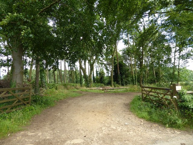
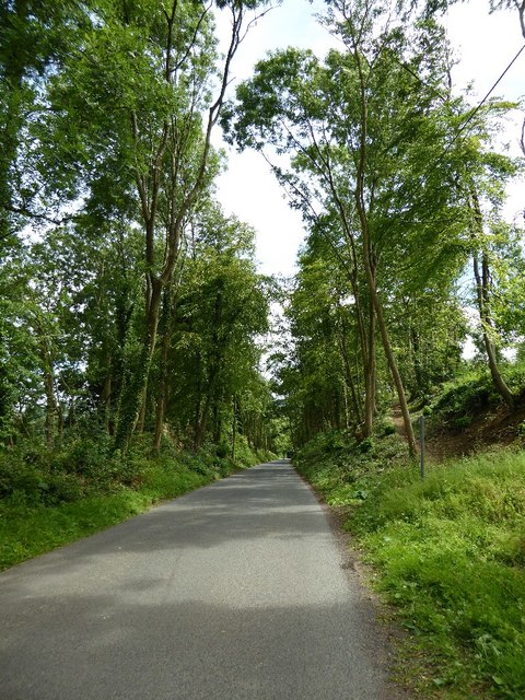
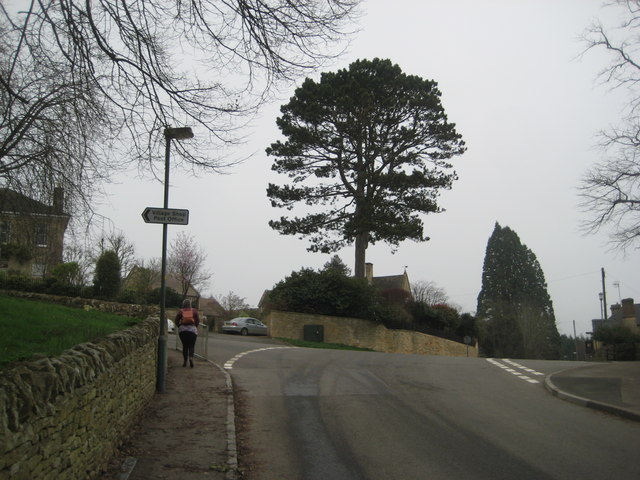
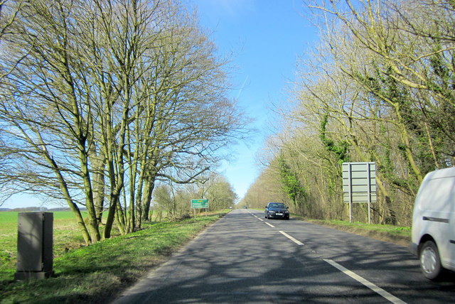
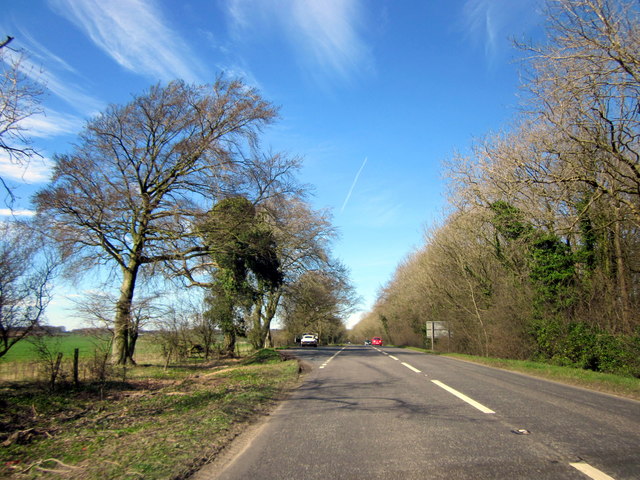
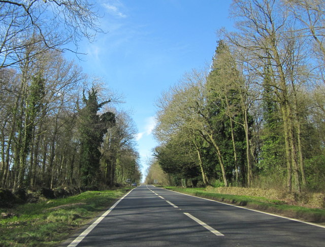
Shales' Coppice is a picturesque woodland located in the county of Gloucestershire, England. Covering an area of approximately 50 acres, it is a tranquil haven for nature enthusiasts and those seeking a peaceful retreat from the hustle and bustle of everyday life.
The woodland is characterized by a diverse range of tree species, including oak, beech, birch, and ash. These majestic trees provide a dense canopy that filters the sunlight, creating a cool and shaded environment below. The forest floor is adorned with a vibrant carpet of wildflowers, ferns, and mosses, adding to the area's natural beauty.
Shales' Coppice is home to a variety of wildlife, making it a popular spot for birdwatchers and animal lovers. Visitors may have the chance to spot birds such as woodpeckers, owls, and various songbirds, while lucky observers might catch a glimpse of deer, foxes, and squirrels darting among the trees.
The woodland is crisscrossed with well-maintained footpaths, allowing visitors to explore its hidden gems and discover its secret corners. A small stream meanders through the heart of the coppice, adding a serene touch to the already idyllic setting.
Shales' Coppice is a cherished local treasure, attracting visitors throughout the year. Its natural beauty, tranquil atmosphere, and abundant wildlife make it an ideal destination for nature lovers, hikers, and families looking to reconnect with the great outdoors.
If you have any feedback on the listing, please let us know in the comments section below.
Shales' Coppice Images
Images are sourced within 2km of 52.012059/-1.7777174 or Grid Reference SP1534. Thanks to Geograph Open Source API. All images are credited.


Shales' Coppice is located at Grid Ref: SP1534 (Lat: 52.012059, Lng: -1.7777174)
Administrative County: Gloucestershire
District: Cotswold
Police Authority: Gloucestershire
What 3 Words
///waltzed.palaces.bind. Near Blockley, Gloucestershire
Nearby Locations
Related Wikis

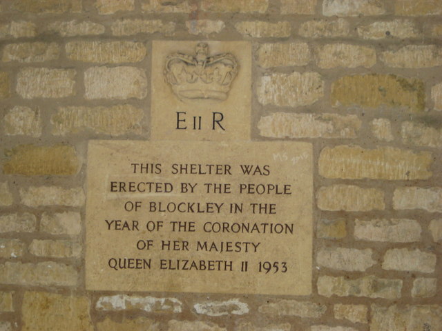
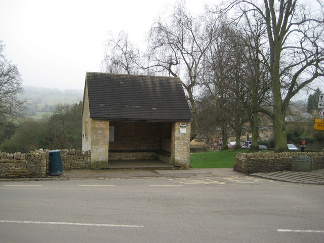
Blockley
Blockley is a village, civil parish and ecclesiastical parish in the Cotswold district of Gloucestershire, England, about 3 miles (5 km) northwest of Moreton...

Broad Campden
Broad Campden is a small village in Gloucestershire, England, with a church and pub, and notable for its beauty and fine walking trails. == History... ==

Northwick Park, Gloucestershire
Northwick Park is a residential estate and business centre near Blockley in Gloucestershire, England. The estate is built in the grounds of the former...

Draycott, Gloucestershire
Draycott is a small hamlet in north Gloucestershire between Moreton-in-Marsh and Blockley, within Blockley civil parish. It is not mentioned in Domesday...

Church of St Lawrence, Bourton-on-the-Hill
The Anglican Church of St Lawrence at Bourton-on-the-Hill in the Cotswold District of Gloucestershire, England was built in the 12th century. It is a grade...

Hornsleasow Quarry
Hornsleasow Quarry (grid reference SP131322) is a 3.5-hectare (8.6-acre) geological Site of Special Scientific Interest in Gloucestershire, notified in...
Wellacre Quarry
Wellacre Quarry (grid reference SP180370) is a 12.3 hectare geological Site of Special Scientific Interest in Gloucestershire, notified in 1974. It is...

Batsford
Batsford is a village and civil parish in the Cotswold district of Gloucestershire, England. The village is about 1½ miles north-west of Moreton-in...
Nearby Amenities
Located within 500m of 52.012059,-1.7777174Have you been to Shales' Coppice?
Leave your review of Shales' Coppice below (or comments, questions and feedback).