Upton Village

Heritage Site in Gloucestershire Cotswold

England

Upton Village

Road to Blockley Greenway Road leads down into Blockley.
Road to Blockley Credit: Clint Mann

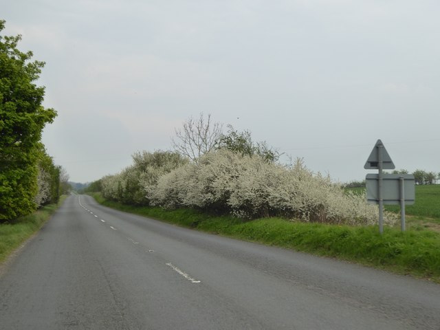
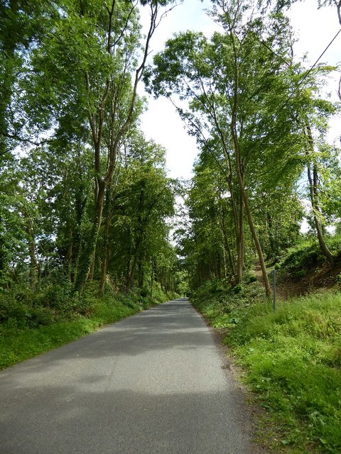
Upton Village is a picturesque and historic settlement located in the county of Gloucestershire, England. Situated on the banks of the River Severn, it is renowned for its rich heritage and stunning natural surroundings. The village is nestled within the beautiful Cotswolds Area of Outstanding Natural Beauty, adding to its charm and appeal.

The history of Upton Village dates back to Roman times, with evidence of settlements and a Roman villa found in the vicinity. Over the centuries, it grew into a thriving market town, thanks to its strategic location on the river, which facilitated trade and transportation.

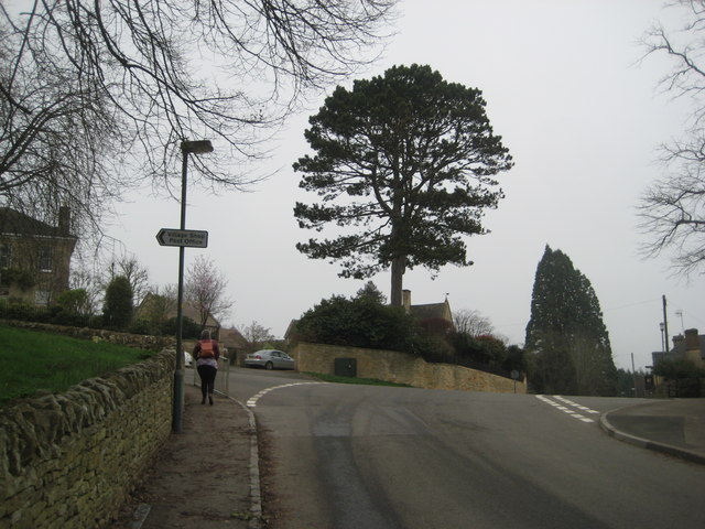
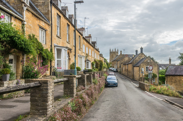
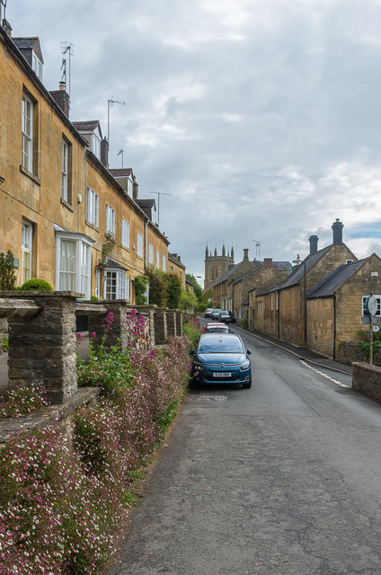
One of the standout features of Upton Village is its collection of well-preserved heritage buildings. The village's High Street is lined with charming timber-framed houses, many of which date back to the 16th and 17th centuries. These historic buildings contribute to the overall character and unique ambiance of the village.

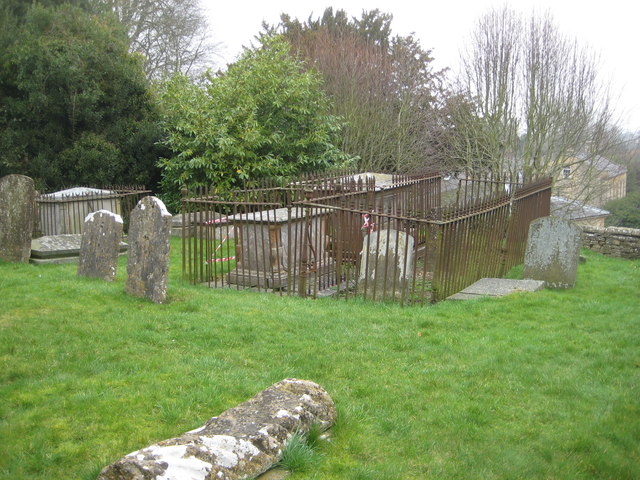
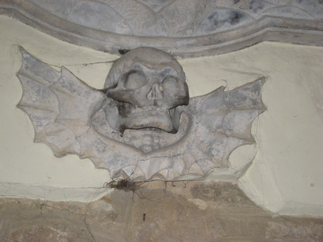
Upton Village is also home to several notable landmarks, including the Grade I listed St. Mary's Church. This medieval church, with its striking spire, is a prominent feature of the village's skyline. Another notable site is the Upton Castle, a fortified manor house that has been converted into a private residence.

The village is a popular destination for visitors, who come to enjoy its idyllic setting and explore its history. Upton Village also hosts various events and festivals throughout the year, such as the Upton Jazz Festival, which attracts music enthusiasts from far and wide.

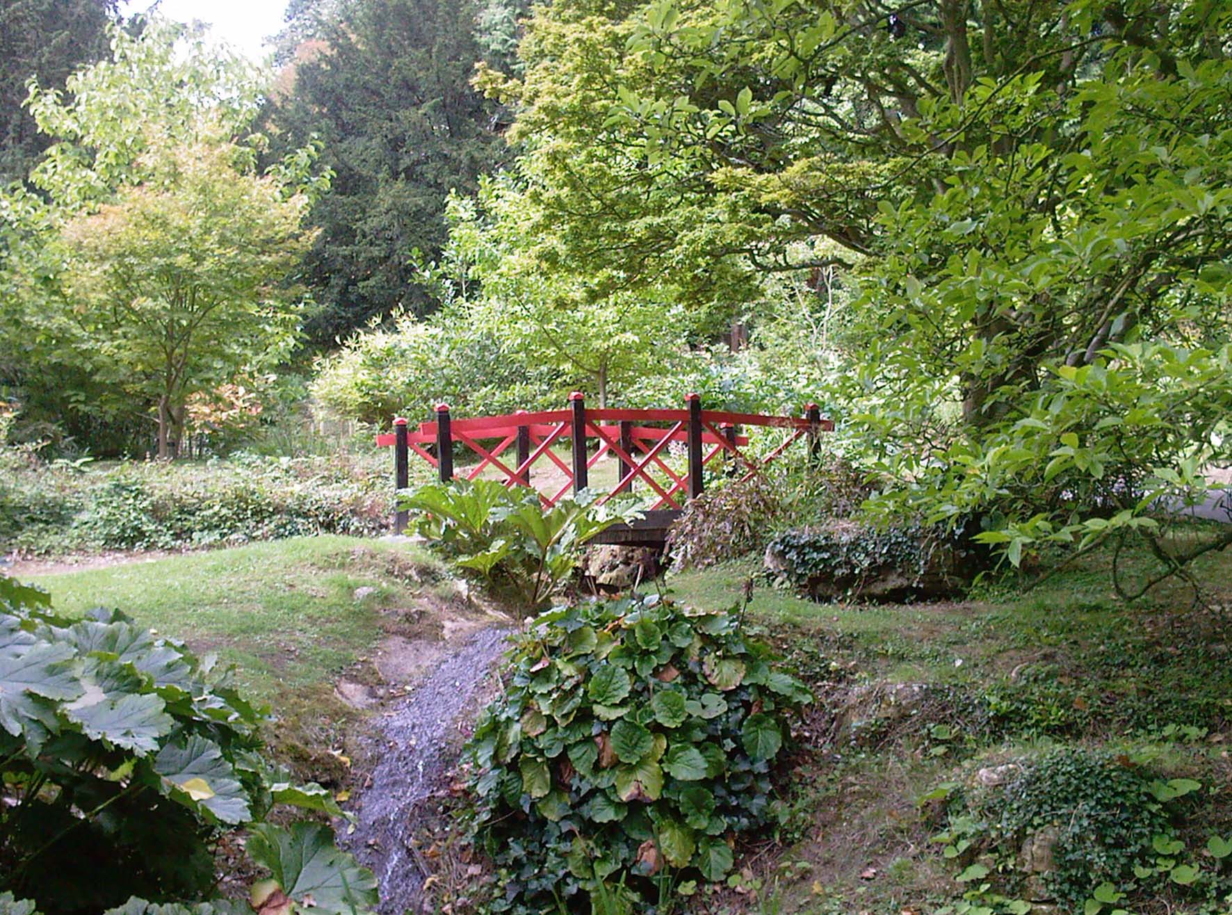
In addition to its historical and cultural significance, Upton Village offers a range of amenities for residents and visitors alike. These include charming independent shops, cozy cafes, traditional pubs, and scenic walking trails along the riverbank.

Overall, Upton Village is a true gem in the Gloucestershire countryside, offering a delightful blend of history, natural beauty, and community spirit.

If you have any feedback on the listing, please let us know in the comments section below.

Upton Village Images

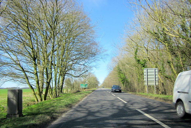
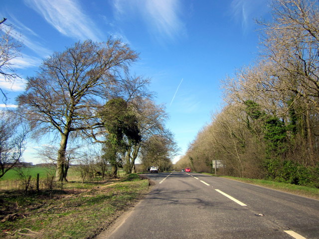
Images are sourced within 2km of 52.008/-1.773 or Grid Reference SP1534. Thanks to Geograph Open Source API. All images are credited.

Road to Blockley Greenway Road leads down into Blockley.
Road to Blockley
Greenway Road leads down into Blockley.
Blossom on Five Mile Drive (A424)
Road passing through Beech Plantation Road passing through Beech Plantation in Northwick Park.
Road passing through Beech Plantation
Road passing through Beech Plantation in Northwick Park.
Headland footpath Headland footpath cut by a considerate farmer.  This path is just to the south of the A44 at Five Mile Drive.
Headland footpath
Headland footpath cut by a considerate farmer. This path is just to the south of the A44 at Five Mile Drive.
Headland daisies Daisies in a field headland beside the A44 Five Mile Drive near Blockley.
Headland daisies
Daisies in a field headland beside the A44 Five Mile Drive near Blockley.
Farmland beside Five Mile Drive Field headland beside Five Mile Drive and the A44 on the Cotswolds near Blockley.
Farmland beside Five Mile Drive
Field headland beside Five Mile Drive and the A44 on the Cotswolds near Blockley.
View to Forresters Cottage View to Forresters Cottage beside Five Mile Drive near Blockley.
View to Forresters Cottage
View to Forresters Cottage beside Five Mile Drive near Blockley.
B4479 Junction A minor road from Batsford joins the B4479 from Blockley.
B4479 Junction
A minor road from Batsford joins the B4479 from Blockley.
The reason for 'Doing Posh' The dedication plaque for the village bus shelter.
The Coronation of Queen Elizabeth II.
The reason for 'Doing Posh'
The dedication plaque for the village bus shelter. The Coronation of Queen Elizabeth II.
Blockley does posh Whilst the camera does not capture the warmth of the Cotswold stone.
This is one well kept and crafted bus shelter.
It is over 60 years old and commemorates Queen Elizabeth II Coronation.
<a href="https://www.geograph.org.uk/photo/5308627">SP1635 : The reason for 'Doing Posh'</a> has a photo of the plaque.
Blockley does posh
Whilst the camera does not capture the warmth of the Cotswold stone. This is one well kept and crafted bus shelter. It is over 60 years old and commemorates Queen Elizabeth II Coronation. SP1635 : The reason for 'Doing Posh' has a photo of the plaque.
Green in Winter A rather grand conifer in Lower Street.
Green in Winter
A rather grand conifer in Lower Street.
I have a question Are the railings to keep us out or them in?
Quite a number of tombs in this church yard have railings around them.
One would speculate that these are post WWII.
The tomb in front is a bale reflecting the wool trade of the past.
I have a question
Are the railings to keep us out or them in? Quite a number of tombs in this church yard have railings around them. One would speculate that these are post WWII. The tomb in front is a bale reflecting the wool trade of the past.
We are but mortal Not a tribute to a chapter of Hell's Angels. 
But a grim reminder from the stonemason that we are all mortal.
We are but mortal
Not a tribute to a chapter of Hell's Angels. But a grim reminder from the stonemason that we are all mortal.
Troopers Lodge Garage A44
A44 Five Mile Drive Heading Towards Broadway
A44 Five Mile Drive Heading Towards Broadway E-Type Jaguar in Layby
High Street Looking along High Street.  In the left centre of the photo is Bankside, a building of 17th Century origins remodelled in around 1800.  Grade II listed - see <span class="nowrap"><a title="www.historicengland.org.uk/listing/the-list/list-entry/1304362" rel="nofollow ugc noopener" href="http://www.historicengland.org.uk/listing/the-list/list-entry/1304362">Link</a><img style="margin-left:2px;" alt="External link" title="External link - shift click to open in new window" src="https://s1.geograph.org.uk/img/external.png" width="10" height="10"/></span>.
High Street
Looking along High Street. In the left centre of the photo is Bankside, a building of 17th Century origins remodelled in around 1800. Grade II listed - see LinkExternal link.
High Street Looking along High Street.  The house on the left of the photo is Bankside, a building of 17th Century origins remodelled in around 1800.  Grade II listed - see <span class="nowrap"><a title="www.historicengland.org.uk/listing/the-list/list-entry/1304362" rel="nofollow ugc noopener" href="http://www.historicengland.org.uk/listing/the-list/list-entry/1304362">Link</a><img style="margin-left:2px;" alt="External link" title="External link - shift click to open in new window" src="https://s1.geograph.org.uk/img/external.png" width="10" height="10"/></span>.
High Street
Looking along High Street. The house on the left of the photo is Bankside, a building of 17th Century origins remodelled in around 1800. Grade II listed - see LinkExternal link.
Show me another place!

Upton Village is located at Grid Ref: SP1534 (Lat: 52.008, Lng: -1.773)

Administrative County: Gloucestershire

District: Cotswold

Police Authority: Gloucestershire

What 3 Words

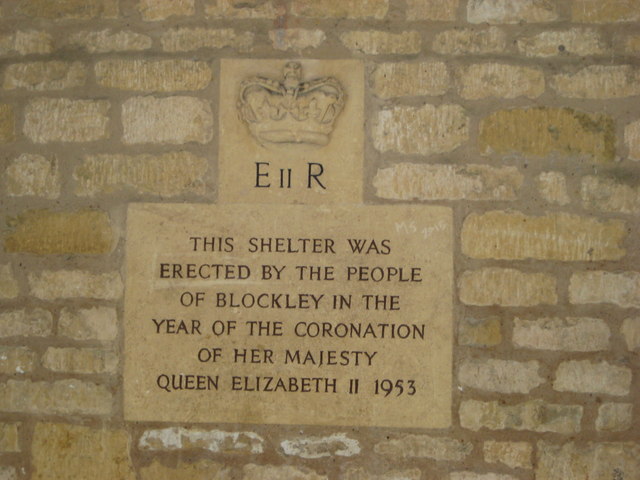
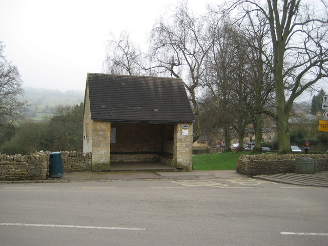
///primary.walls.snowstorm. Near Blockley, Gloucestershire

Related Wikis

Blockley

Blockley is a village, civil parish and ecclesiastical parish in the Cotswold district of Gloucestershire, England, about 3 miles (5 km) northwest of Moreton...

Broad Campden

Broad Campden is a small village in Gloucestershire, England, with a church and pub, and notable for its beauty and fine walking trails. == History... ==

Northwick Park, Gloucestershire

Northwick Park is a residential estate and business centre near Blockley in Gloucestershire, England. The estate is built in the grounds of the former...

Church of St Lawrence, Bourton-on-the-Hill

The Anglican Church of St Lawrence at Bourton-on-the-Hill in the Cotswold District of Gloucestershire, England was built in the 12th century. It is a grade...

Draycott, Gloucestershire

Draycott is a small hamlet in north Gloucestershire between Moreton-in-Marsh and Blockley, within Blockley civil parish. It is not mentioned in Domesday...

Batsford

Batsford is a village and civil parish in the Cotswold district of Gloucestershire, England. The village is about 1½ miles north-west of Moreton-in...

Batsford Arboretum

Batsford Arboretum is a 55-acre (220,000 m2) arboretum and botanical garden near Batsford in Gloucestershire, England, about 1½ miles north-west of Moreton...

Hornsleasow Quarry

Hornsleasow Quarry (grid reference SP131322) is a 3.5-hectare (8.6-acre) geological Site of Special Scientific Interest in Gloucestershire, notified in...

Nearby Amenities

Located within 500m of 52.008,-1.773
Power: pole
Lat/Long: 52.0049755/-1.771554
Power: pole
Lat/Long: 52.0049384/-1.7694216
Power: pole
Lat/Long: 52.0050089/-1.7739489
Power: pole
Lat/Long: 52.0050683/-1.7773098
Power: pole
Lat/Long: 52.0075598/-1.7799018
Power: pole
Lat/Long: 52.0071363/-1.7785701
Power: pole
Lat/Long: 52.006854/-1.7776541
Power: pole
Lat/Long: 52.006565/-1.7767355
Warren Farm
Power: pole
Transformer: distribution
Voltage Primary: 11000
Lat/Long: 52.0062943/-1.7757699
Power: pole
Lat/Long: 52.0060028/-1.7744811
Power: pole
Lat/Long: 52.0057213/-1.773085
Power: pole
Lat/Long: 52.0054423/-1.7717506
Power: pole
Lat/Long: 52.005467/-1.7683093
Power: pole
Lat/Long: 52.005453/-1.7704444
Power: pole
Lat/Long: 52.0054514/-1.7695713
Power: pole
Lat/Long: 52.0054836/-1.767109
Warren Cottages Blockley
Power: pole
Transformer: distribution
Voltage Primary: 11000
Lat/Long: 52.0077868/-1.7694063
Dovedale
Power: pole
Transformer: distribution
Voltage Primary: 11000
Lat/Long: 52.0075383/-1.7680813
Power: pole
Lat/Long: 52.0074195/-1.767502
Blockley South
Power: pole
Transformer: distribution
Voltage Primary: 11000
Lat/Long: 52.0076902/-1.766527
Power: pole
Lat/Long: 52.007211/-1.7664613
Power: pole
Lat/Long: 52.0067995/-1.7664076
Power: pole
Lat/Long: 52.0050402/-1.7749894
The data included in this document is from www.openstreetmap.org. The data is made available under ODbL.

Have you been to Upton Village?

Leave your review of Upton Village below (or comments, questions and feedback).