Sinking Wood
Wood, Forest in Yorkshire
England
Sinking Wood
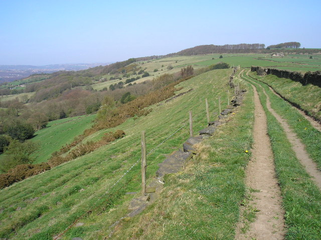
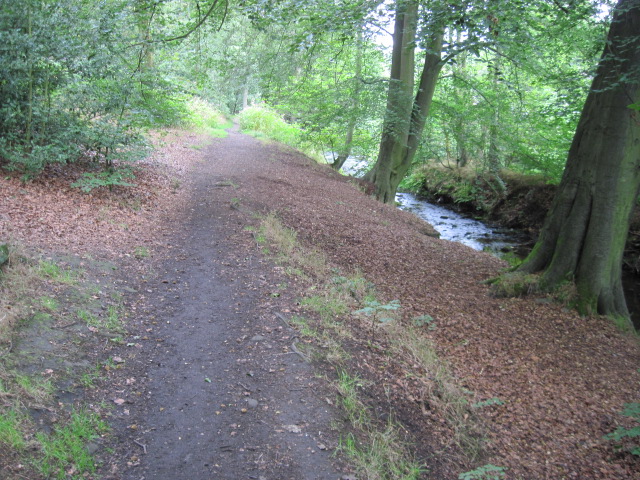
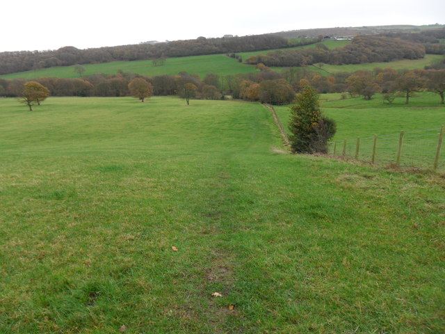
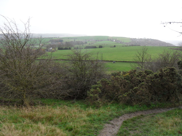
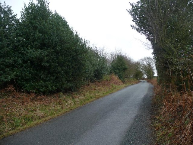
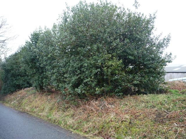
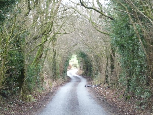
Sinking Wood, located in Yorkshire, England, is a picturesque forest that offers a serene retreat for nature enthusiasts and outdoor adventurers. Spanning approximately 100 acres, this woodland is characterized by its dense foliage, towering trees, and tranquil atmosphere.
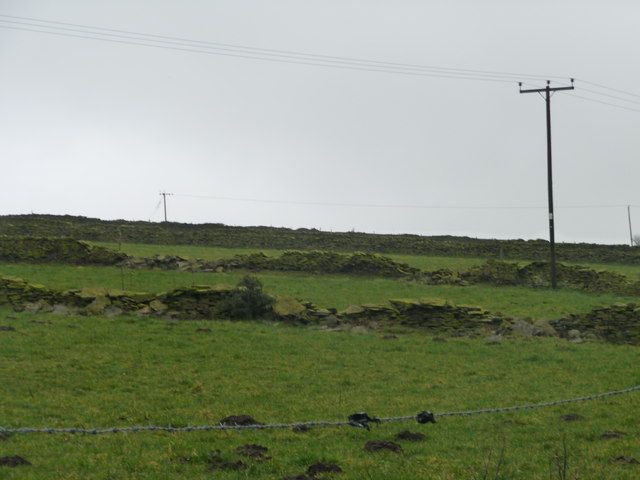
The forest is named after the unique phenomenon it exhibits: the ground surface appears to sink or dip in certain areas, giving the wood its distinctive name. This natural occurrence is believed to be a result of the underlying geological formations and the erosion of the soil over time.
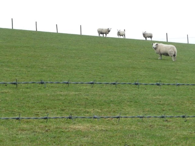
Sinking Wood is home to a diverse range of flora and fauna, making it an ideal habitat for various wildlife species. Visitors can expect to spot an array of native birds, mammals, and insects as they explore the forest. The woodland also boasts a rich biodiversity, with an assortment of trees such as oak, beech, and birch, creating a vibrant and ever-changing landscape throughout the seasons.
The wood offers an extensive network of footpaths and trails, allowing visitors to immerse themselves in the beauty of nature. From leisurely walks to more challenging hikes, there are options for all levels of outdoor enthusiasts. The forest also features designated picnic areas, where visitors can relax and enjoy a picnic amidst the tranquil surroundings.
Sinking Wood serves as a haven for those seeking solace in nature, providing a peaceful escape from the hustle and bustle of everyday life. Its natural beauty, unique geological features, and abundant wildlife make it a must-visit destination for anyone looking to connect with the great outdoors.
If you have any feedback on the listing, please let us know in the comments section below.
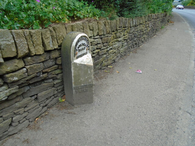
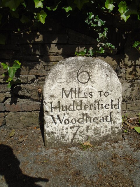
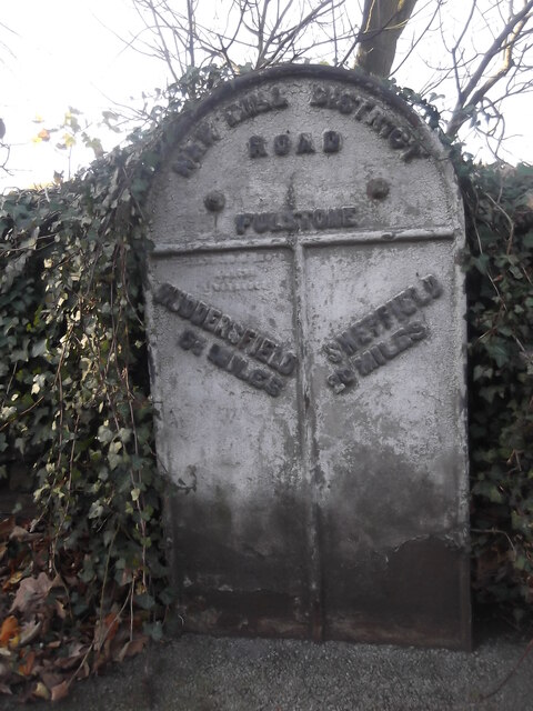
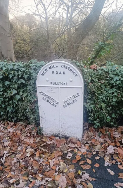
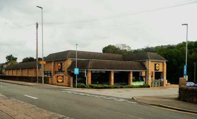
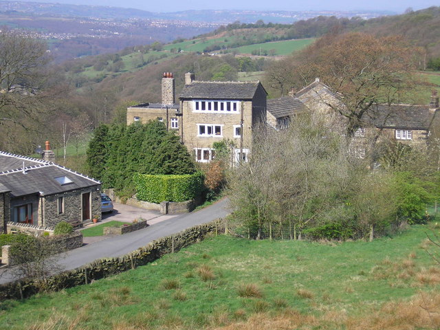
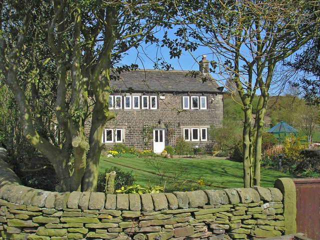
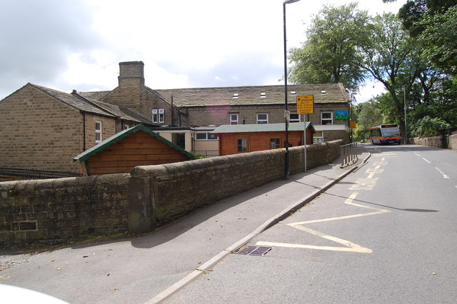
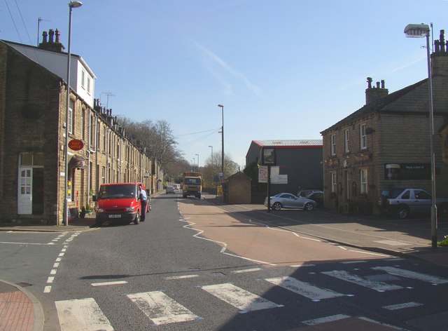
Sinking Wood Images
Images are sourced within 2km of 53.584992/-1.7618713 or Grid Reference SE1509. Thanks to Geograph Open Source API. All images are credited.
Sinking Wood is located at Grid Ref: SE1509 (Lat: 53.584992, Lng: -1.7618713)
Division: West Riding
Unitary Authority: Kirklees
Police Authority: West Yorkshire
What 3 Words
///entertainer.boot.encounter. Near Holmfirth, West Yorkshire
Nearby Locations
Related Wikis
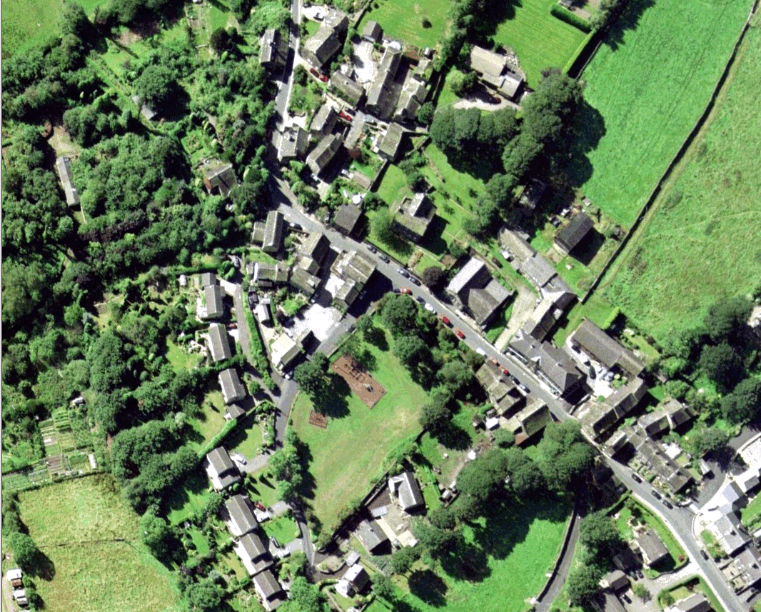
Wooldale
Wooldale is a small village nestled on a hill, overlooking the Kirkroyds area of New Mill, Holmfirth in West Yorkshire, England. It has a population of...

Holmfirth High School
Holmfirth High School is a coeducational secondary school located on Heys Road in Thongsbridge, Holmfirth, West Yorkshire, England. Holmfirth High School...
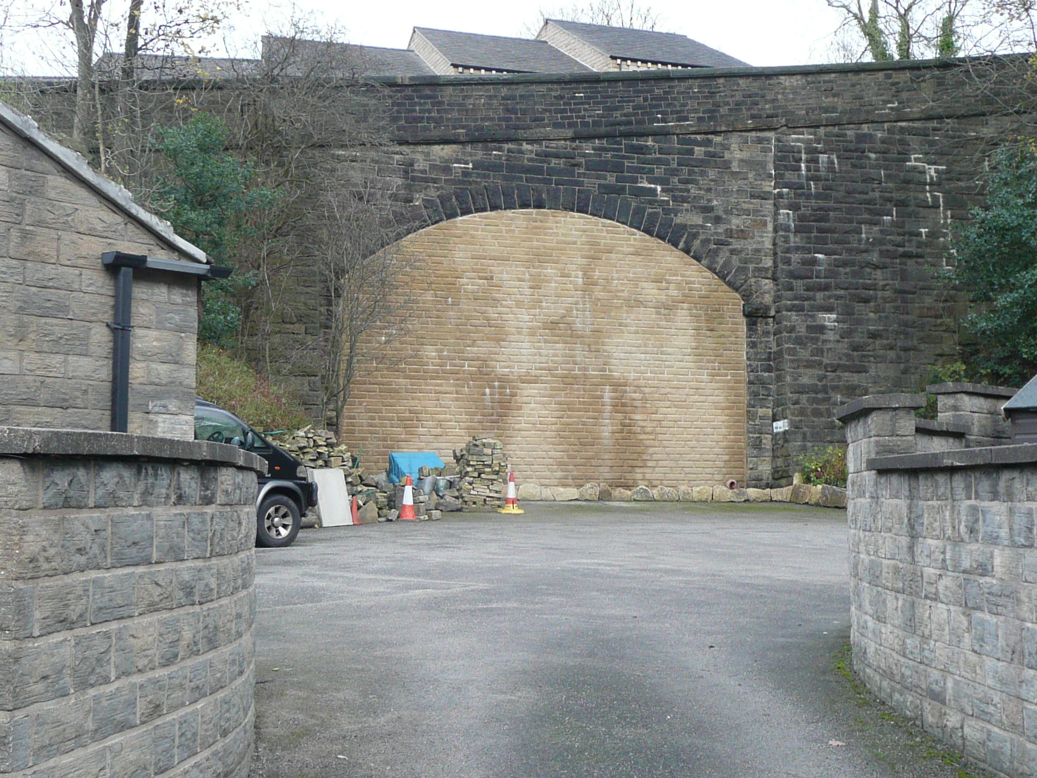
Thongs Bridge railway station
Thongs Bridge railway station was the only intermediate stop on the railway line between Brockholes and Holmfirth, West Yorkshire, England. Opened in July...

Thongsbridge
Thongsbridge is a small village in the Kirklees district of West Yorkshire, England. It is in the semi-rural Holme Valley and the village boundaries merge...

Thurstonland
Thurstonland is a village in the civil parish of Kirkburton, in Kirklees, West Yorkshire, England. It has a population of almost 400. The village is on...

Church of St Thomas, Thurstonland
The Church of St Thomas, Thurstonland, West Yorkshire, England, is an Anglican church. It is an Arts and Crafts building in Gothic Revival style, designed...

Brockholes railway station
Brockholes railway station serves the village of Brockholes, near Huddersfield in West Yorkshire. It lies 4.25 miles (7 km) away from Huddersfield on the...
Brockholes
Brockholes is a small village in West Yorkshire, England, in the administrative area of Kirklees Metropolitan Council and Holme Valley Parish Council....
Related Videos

Hiking Last of the Summer Wine Country
Bagging Ethels above Holmfirth.

Hiking around Summer wine Country
Hiking around Holmfirth Holmbrige Lovely views Great Lovely Old spectacular English village here in the Heart of Holmfirth ...
Holmfirth - Huddersfield Road, West Yorkshire - #travel #Holmfirth #lastofthesummerwine
Holmfirth - Huddersfield Road, West Yorkshire - 01/09/2023.
Hills and Hamlets walk...Holme valley...West Yorkshire.
A rare day off during the week, can't waste the opportunity for a decent walk...we chose the Hills and Hamlets walk, a 10 mile ...
Nearby Amenities
Located within 500m of 53.584992,-1.7618713Have you been to Sinking Wood?
Leave your review of Sinking Wood below (or comments, questions and feedback).