New Carriage Drive Plantations

Wood, Forest in Durham

England

New Carriage Drive Plantations

Derelict East Park farm
Derelict East Park farm Credit: peter robinson

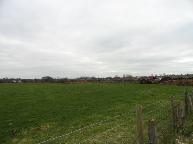
New Carriage Drive Plantations is a picturesque woodland located in Durham, England. Covering a vast area, this forest is a beloved destination for nature enthusiasts and locals alike. The plantation is situated near the village of Carriage Drive, which adds to its charm and accessibility.

The woodland is characterized by its dense canopy of trees, creating a serene and peaceful atmosphere. The diverse range of tree species includes oak, beech, and birch, among others. These mature trees provide shelter for a variety of wildlife, making it a haven for birdwatchers and animal lovers.

Visitors to New Carriage Drive Plantations can explore the area through a network of well-maintained trails. These paths wind through the forest, allowing hikers, cyclists, and dog walkers to immerse themselves in the natural beauty of the surroundings. The trails are of varying lengths and difficulties, catering to all levels of fitness and outdoor experience.

In addition to its recreational value, the plantation also plays a crucial role in the local ecosystem. The dense vegetation helps improve air quality by absorbing carbon dioxide and releasing oxygen. It also acts as a natural water filter, reducing pollution and improving the quality of nearby water sources.

Overall, New Carriage Drive Plantations offers a wonderful opportunity to escape the hustle and bustle of everyday life and reconnect with nature. Whether you're seeking a peaceful stroll, a challenging hike, or a chance to observe wildlife, this woodland has something to offer everyone.

If you have any feedback on the listing, please let us know in the comments section below.

New Carriage Drive Plantations Images

Images are sourced within 2km of 54.661204/-1.7556425 or Grid Reference NZ1529. Thanks to Geograph Open Source API. All images are credited.

Derelict East Park farm
Reedbed at Low Barns nature reserve Low Barns is a reserve of the Durham Wildlife Trust. The view here is from the 'Northumbrian Water Hide' over a drably lit reedbed to brilliantly sunlit autumnal larch trees beyond.
Reedbed at Low Barns nature reserve
Low Barns is a reserve of the Durham Wildlife Trust. The view here is from the 'Northumbrian Water Hide' over a drably lit reedbed to brilliantly sunlit autumnal larch trees beyond.
Wear Terrace Just along the road from Witton-le-Wear.
Wear Terrace
Just along the road from Witton-le-Wear.
Looking along Low Lane Road leading East from Witton-le-Wear.
Looking along Low Lane
Road leading East from Witton-le-Wear.
The visitor centre at Low Barnes Low Barnes is a reserve of Durham Wildlife Trust.
The visitor centre at Low Barnes
Low Barnes is a reserve of Durham Wildlife Trust.
Alder wood at Low Barnes Alders will grow in wet conditions and these occupy a former oxbow lake which was once the course of the River Wear.
Alder wood at Low Barnes
Alders will grow in wet conditions and these occupy a former oxbow lake which was once the course of the River Wear.
Road leading onto the bridge over the Wear
Junction of the Weardale Way The Weardale Way runs along the road for a short distance from here through the village of Witton Park before cutting off into the fields again.
Junction of the Weardale Way
The Weardale Way runs along the road for a short distance from here through the village of Witton Park before cutting off into the fields again.
View across the fields to Witton Park Looking from the Weardale Way just North of the village. The farmer was doing his muck spreading.
View across the fields to Witton Park
Looking from the Weardale Way just North of the village. The farmer was doing his muck spreading.
The north side of Clemmy Bank Railway Bridge in Witton-le-Wear
Bridge over unnamed watercourse for multi user route alongside the Weardale Railway
Level crossing for footpath over the Weardale Railway east of Witton-le-Wear
Eastern side of Wear Terrace
The run down to Witton-le-Wear (A68) Approaching the bridge over the River Wear, with a road off left to Hamsterly Forest before the crossing point.
The run down to Witton-le-Wear (A68)
Approaching the bridge over the River Wear, with a road off left to Hamsterly Forest before the crossing point.
Railway near Witton Park The railway route running from Bishop Auckland into Weardale was used for freight traffic into the 1990's although only at that time as a means of transporting cement from the (then) Blue Circle works at Eastgate; road transport then took over. The railway has since seen a new life as a heritage line but now there's an industrial use again; open casted coal is trucked (controversially) to Wolsingham and then transported by this line to the main network via Bishop Auckland. That the line is still in use is shown by the polished state of the rails.
Railway near Witton Park
The railway route running from Bishop Auckland into Weardale was used for freight traffic into the 1990's although only at that time as a means of transporting cement from the (then) Blue Circle works at Eastgate; road transport then took over. The railway has since seen a new life as a heritage line but now there's an industrial use again; open casted coal is trucked (controversially) to Wolsingham and then transported by this line to the main network via Bishop Auckland. That the line is still in use is shown by the polished state of the rails.
Charcoal burning site in Low Barns Nature Reserve
Witton-le-Wear Community Centre
Train halt at Witton-le-Wear for the Weardale Railway
Show me another place!

New Carriage Drive Plantations is located at Grid Ref: NZ1529 (Lat: 54.661204, Lng: -1.7556425)

Unitary Authority: County Durham

Police Authority: Durham

What 3 Words

///junction.couriers.serve. Near High Etherley, Co. Durham

Related Wikis

Phoenix Row

Phoenix Row incorporating Belts Gill and Softley Dene Farm (formerly Glebe Farm) is a hamlet of about 30 houses in County Durham, in England. It is situated...
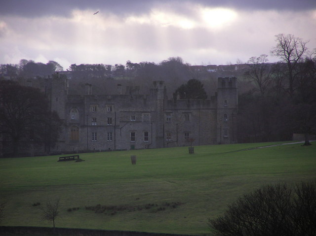
Witton Castle

Witton Castle is a much-altered 15th-century castle, which is the centrepiece of a holiday and caravan country park at Witton le Wear, near Bishop Auckland...
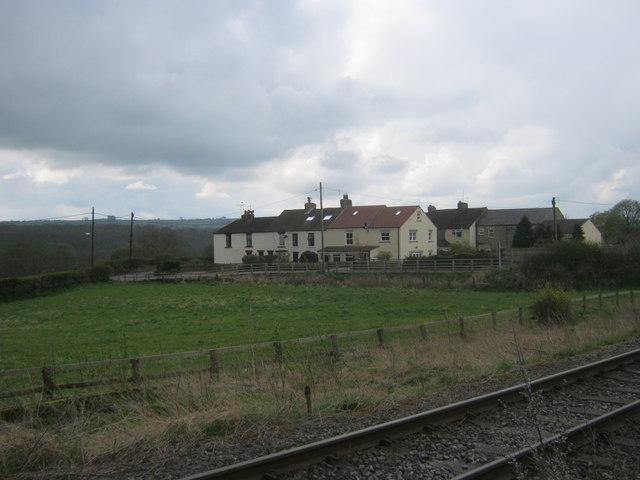
High Etherley

High Etherley is a village in County Durham, England. It is situated on a hill approximately 4 miles west of Bishop Auckland. Entering High Etherley on...

Toft Hill, County Durham

Toft Hill is a hilltop village in County Durham, in England straggling along the A68, a few miles to the west of Bishop Auckland and adjoining the village...

Witton Park Colliery

Witton Park Colliery was a coal mine in Witton Park, Witton-le-Wear near Bishop Auckland, County Durham, Northern England. == Development == Part of the...

Witton Park

Witton Park is a village in County Durham, in England. It is situated to the west of Bishop Auckland. In 2001 it had a population of 384. == Famous... ==

Witton-le-Wear (SSSI)

Witton-le-Wear (SSSI) is a Site of Special Scientific Interest located in the valley of the River Wear, immediately east of the village of Witton-le-Wear...

Etherley railway station

Etherley railway station served the village of Witton Park in County Durham, North East England, from 1847 to 1965 on the Wear Valley line. It was briefly...

Nearby Amenities

Located within 500m of 54.661204,-1.7556425
Power: pole
Lat/Long: 54.6631126/-1.7626029
Power: pole
Lat/Long: 54.6636928/-1.7618492
The data included in this document is from www.openstreetmap.org. The data is made available under ODbL.

Have you been to New Carriage Drive Plantations?

Leave your review of New Carriage Drive Plantations below (or comments, questions and feedback).