Thoralby

Settlement in Yorkshire Richmondshire

England

Thoralby

Folly Lane Ford This ford is found on Folly Lane.
Folly Lane Ford Credit: John Walton

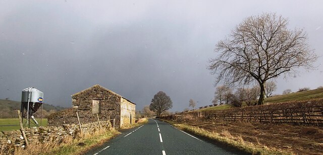
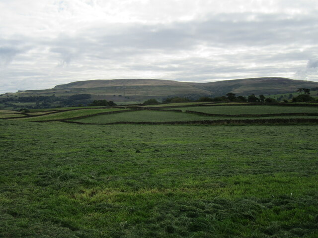
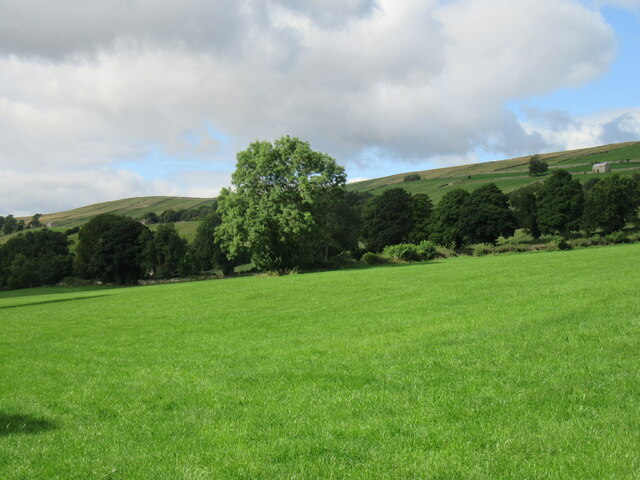
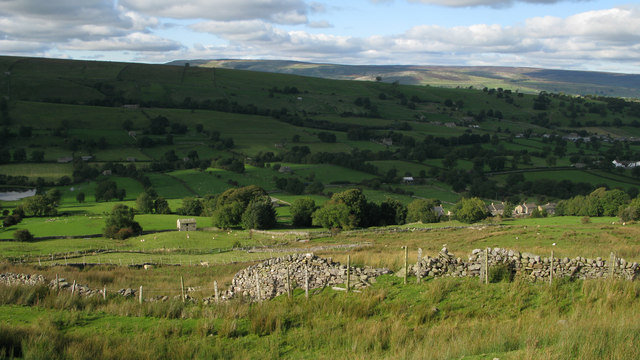
Thoralby is a picturesque village located in the Yorkshire Dales National Park, in the county of Yorkshire, England. Situated in the northern part of the park, Thoralby is nestled among rolling hills, lush green meadows, and is surrounded by breathtaking natural beauty. The village is part of the Richmondshire district and lies approximately 3 miles northwest of the town of Aysgarth.

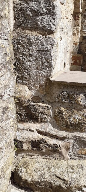
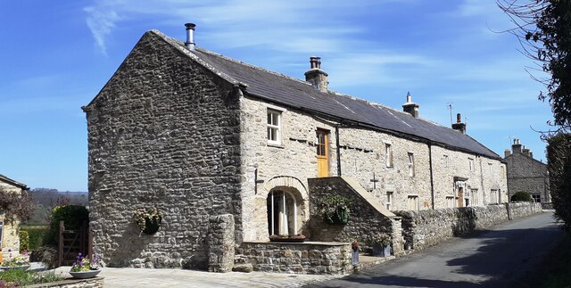
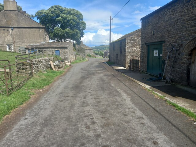
Thoralby is a traditional English village that exudes charm and tranquility. It is characterized by its quaint stone cottages, many of which date back to the 17th and 18th centuries, giving the village a timeless feel. The village is centered around a small, picturesque green, which serves as a gathering place for locals and visitors alike.

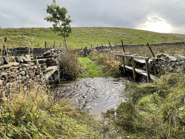
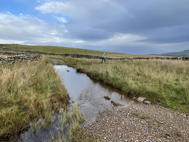
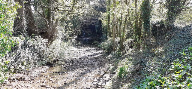
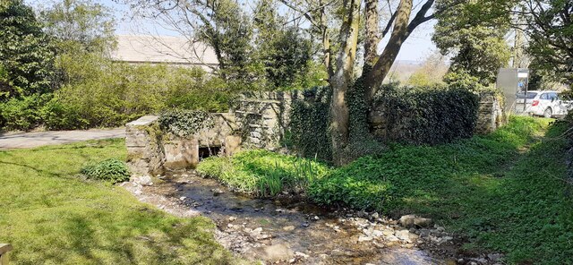
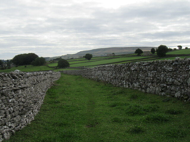
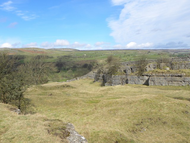
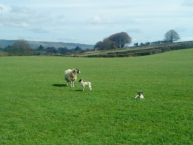
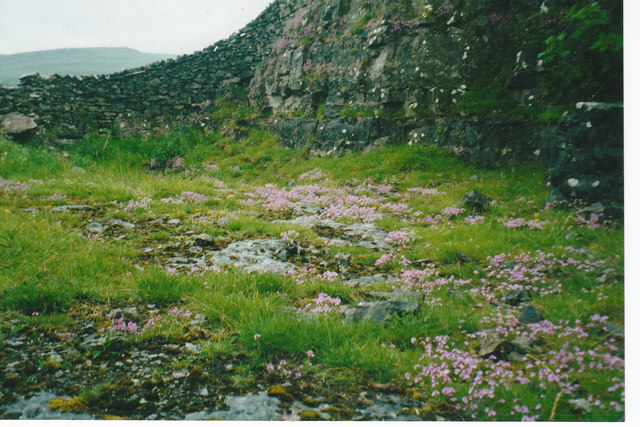
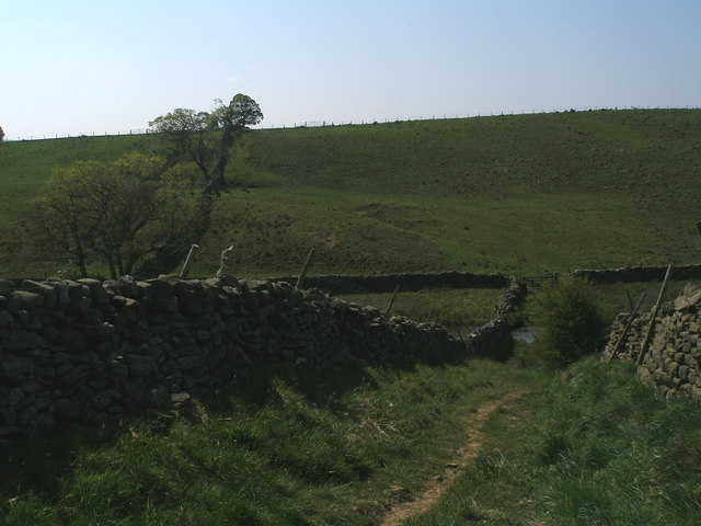
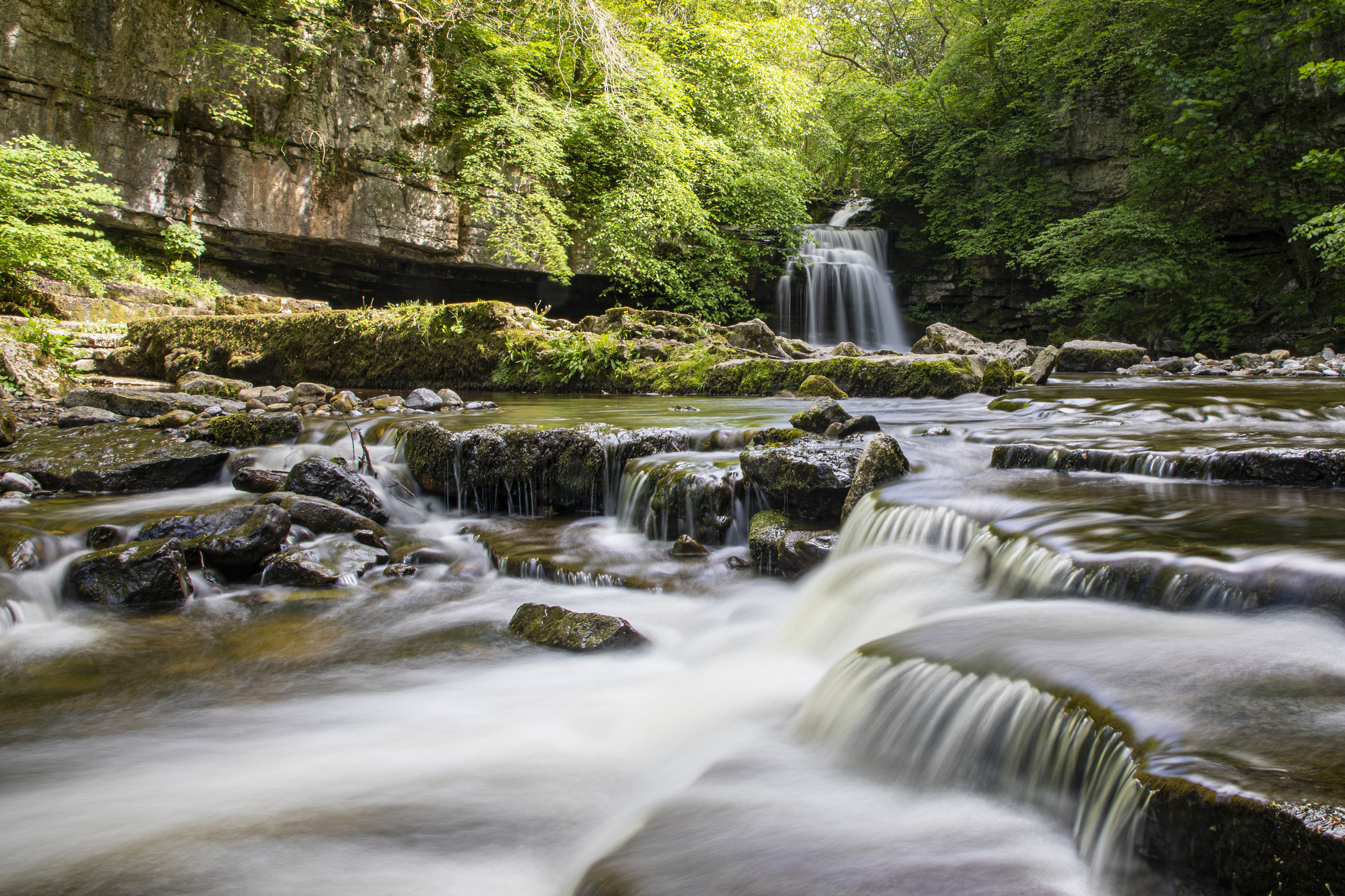
The area surrounding Thoralby offers fantastic opportunities for outdoor enthusiasts. The nearby Aysgarth Falls, a series of stunning waterfalls on the River Ure, is a popular attraction for visitors. The village is also located near several walking and hiking trails, which allow visitors to explore the stunning countryside and take in the panoramic views of the dales.

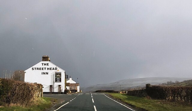
Thoralby is home to a friendly and close-knit community, with a population of around 300 residents. The village has a primary school, a village hall, and a charming country pub, which serves as a hub for socializing and community events. Thoralby is a peaceful and idyllic destination for those seeking a slower pace of life, surrounded by the natural beauty of the Yorkshire Dales.

If you have any feedback on the listing, please let us know in the comments section below.

Thoralby Images

Images are sourced within 2km of 54.275604/-2.0053559 or Grid Reference SD9986. Thanks to Geograph Open Source API. All images are credited.

Folly Lane Ford This ford is found on Folly Lane.
Folly Lane Ford
This ford is found on Folly Lane.
Flout Moor Lane Ford This ford on Haw Beck is found on Flout Moor Lane.
Flout Moor Lane Ford
This ford on Haw Beck is found on Flout Moor Lane.
The Street Head Inn
The Street Head Inn
B6160 in Bishopdale
B6160 in Bishopdale
Benchmark on SW face of Eastburn Farmhouse Ordnance Survey cut mark benchmark levelled at 195.288m above Newlyn Datum verified 1954
Benchmark on SW face of Eastburn Farmhouse
Ordnance Survey cut mark benchmark levelled at 195.288m above Newlyn Datum verified 1954
Eastburn Farmhouse and Eastburn Cottage There is an Ordnance Survey benchmark <a href="https://www.geograph.org.uk/photo/7152876">SD9985 : Benchmark on SW face of Eastburn Farmhouse</a> on the near corner of the building beside the stone gatepost
Eastburn Farmhouse and Eastburn Cottage
There is an Ordnance Survey benchmark SD9985 : Benchmark on SW face of Eastburn Farmhouse on the near corner of the building beside the stone gatepost
View SE along Mill Beck
Mill Beck approaching Millbeck Bridge The footpath to the right passes a Telephone Call Box
Mill Beck approaching Millbeck Bridge
The footpath to the right passes a Telephone Call Box
Limekiln Lane A footpath enclosed by walls near Aysgarth.
Limekiln Lane
A footpath enclosed by walls near Aysgarth.
Folly Lane view Looking east from Folly Lane.
Folly Lane view
Looking east from Folly Lane.
Bishopdale near Thoralby Looking NW.
Bishopdale near Thoralby
Looking NW.
Westfield, Lane, Thoralby Looking north-eastward from Town Head Farm.
Westfield, Lane, Thoralby
Looking north-eastward from Town Head Farm.
Seata Quarry A general view across this old limestone quarry to the west of Aysgarth. Now a nature reserve with interesting plant species.
Seata Quarry
A general view across this old limestone quarry to the west of Aysgarth. Now a nature reserve with interesting plant species.
Lambs pose in the sunshine Lambs in the pastures above Seata Quarry.
Lambs pose in the sunshine
Lambs in the pastures above Seata Quarry.
Fields near to Newbiggin in Bishopdale Wasset Fell Road is a track climbing from the village of Newbiggin, southwards on to the hill ridge rising eventually to Buckden Pike. The roofs of Newbiggin are seen here over enclosures of rough pasture from the descent of the road.
Fields near to Newbiggin in Bishopdale
Wasset Fell Road is a track climbing from the village of Newbiggin, southwards on to the hill ridge rising eventually to Buckden Pike. The roofs of Newbiggin are seen here over enclosures of rough pasture from the descent of the road.
Disused Seata Quarry floor with a good cover of Saxifrage in 2002
Benchmark on a gatepost near Keld Spring
Descent to the ford on Folly Lane
Show me another place!

Thoralby is located at Grid Ref: SD9986 (Lat: 54.275604, Lng: -2.0053559)

Division: North Riding

Administrative County: North Yorkshire

District: Richmondshire

Police Authority: North Yorkshire

What 3 Words

///pokes.inflating.scrum. Near Leyburn, North Yorkshire

Nearby Locations

Poor's Land Thoralby

Related Wikis

Thoralby

Thoralby is a village and civil parish in the Richmondshire district of North Yorkshire, England. It lies south of Aysgarth, is within a mile of both Newbiggin...

Newbiggin, south Wensleydale

Newbiggin is a village and civil parish in Bishopdale, a side dale on the south side of Wensleydale, in the Yorkshire Dales in North Yorkshire, England...

Castle Dykes Henge

Castle Dykes Henge is a Class I Neolithic henge earthwork in the Yorkshire Dales National Park in North Yorkshire, England, situated between the villages...

Aysgarth

Aysgarth is a village and civil parish in Wensleydale, in North Yorkshire, England. The village is in the Yorkshire Dales National Park, about 16 miles...

West Burton, North Yorkshire

West Burton is a village in Bishopdale, a side valley of Wensleydale, in the Yorkshire Dales, North Yorkshire, England. It lies 6.2 miles (10 km) south...

Cauldron Falls (North Yorkshire)

Cauldron Falls (also known as West Burton falls), is a series of waterfalls on Walden Beck in the village of West Burton, North Yorkshire, England. It...

St Andrew's Church, Aysgarth

St Andrew's Church, Aysgarth, is a Grade II* listed parish church in the Church of England: 66  in Aysgarth, North Yorkshire. It is located on the south...

A684 road

The A684 is an A road that runs through Cumbria and North Yorkshire, starting at Kendal, Cumbria and ending at Ellerbeck and the A19 road in North Yorkshire...

Nearby Amenities

Located within 500m of 54.275604,-2.0053559
Thoralby
Is In Country Code: GB
Is In County: North Yorkshire
Is In Municipality: Richmondshire
Place: hamlet
Source: NPE
Wikidata: Q2449225
Wikipedia: en:Thoralby
Lat/Long: 54.2767071/-1.9998595
Littleburn
Is In Country Code: GB
Is In County: North Yorkshire
Is In Municipality: Richmondshire
Place: isolated_dwelling
Source: os_25k_firstseries
Lat/Long: 54.2724878/-2.0097552
Barrier: stile
Material: stone
Source: survey;gps
Stile: stepover
Lat/Long: 54.2766121/-2.0074202
Telephone
HE Ref: 1096984
Booth: K6
Covered: booth
Listed Status: Grade II
Lat/Long: 54.2767861/-1.9999351
Give Way
Direction: forward
Lat/Long: 54.2770108/-1.99936
Information: guidepost
Tourism: information
Lat/Long: 54.2783135/-2.010267
Give Way
Direction: forward
Lat/Long: 54.2766881/-2.0004256
Give Way
Direction: backward
Lat/Long: 54.276293/-1.9995422
Power: pole
Lat/Long: 54.2766967/-1.9979681
Power: pole
Lat/Long: 54.2763319/-2.004082
Power: pole
Lat/Long: 54.2766923/-2.0028148
Power: pole
Lat/Long: 54.2770483/-2.0015526
Power: pole
Lat/Long: 54.2774073/-2.0002528
The data included in this document is from www.openstreetmap.org. The data is made available under ODbL.

Have you been to Thoralby?

Leave your review of Thoralby below (or comments, questions and feedback).