Poor's Land

Downs, Moorland in Yorkshire Richmondshire

England

Poor's Land

Folly Lane Ford This ford is found on Folly Lane.
Folly Lane Ford Credit: John Walton

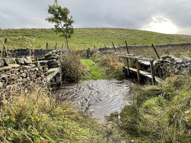
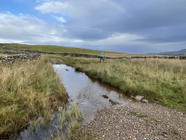
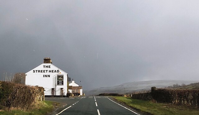
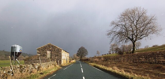
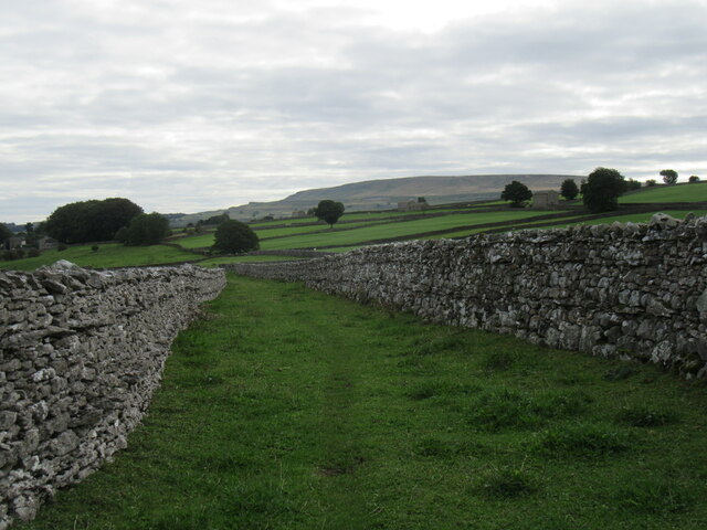
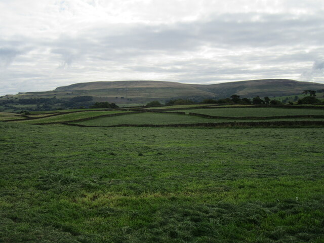
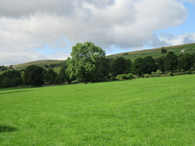
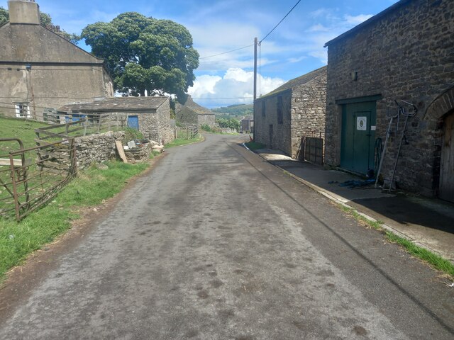
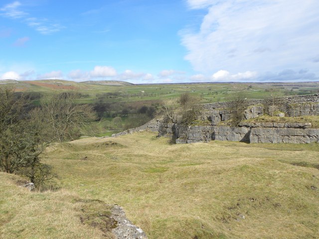
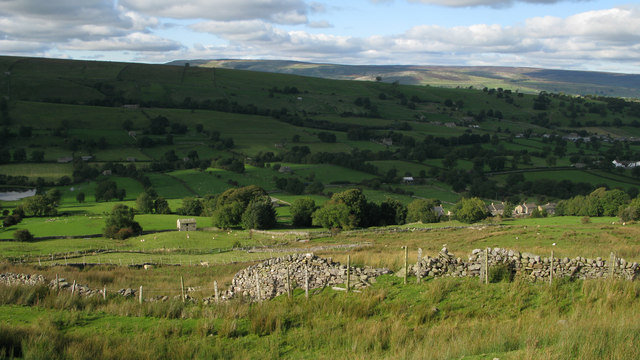
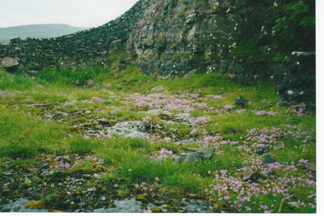
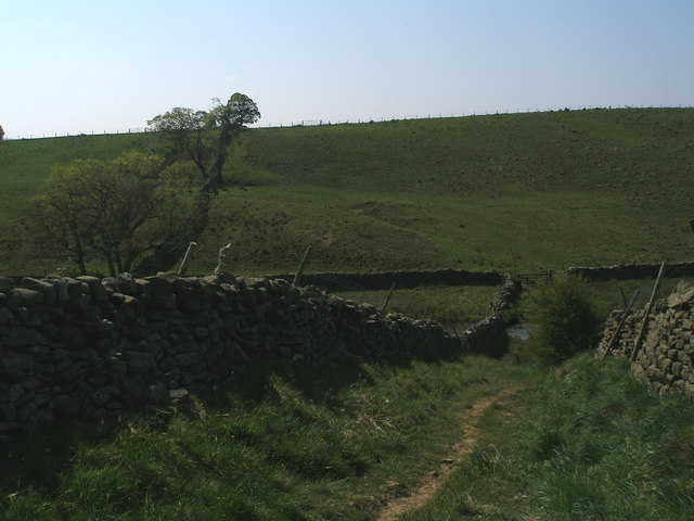
Poor's Land is a rugged and wild expanse of land located in Yorkshire, England. It is characterized by its rolling hills, expansive moorland, and dramatic cliffs. The landscape is dotted with small villages, farms, and ancient ruins, giving it a sense of history and mystery.

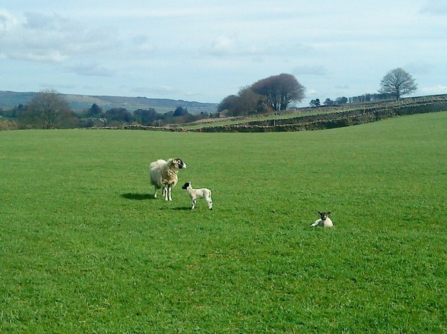
The land is predominantly used for farming, with sheep grazing on the moorland and crops being grown in the fertile valleys. The climate is harsh, with strong winds and frequent rain, making it a challenging environment for both the land and its inhabitants.

The Downs of Poor's Land offer stunning views of the surrounding countryside, with vast open spaces and a sense of tranquility that is hard to find elsewhere. The moorland, in contrast, is rugged and untamed, with heather-covered hillsides and rocky outcrops creating a sense of isolation and wilderness.

Overall, Poor's Land is a place of rugged beauty and natural wonder, where visitors can truly immerse themselves in the wild and untamed landscape of Yorkshire.

If you have any feedback on the listing, please let us know in the comments section below.
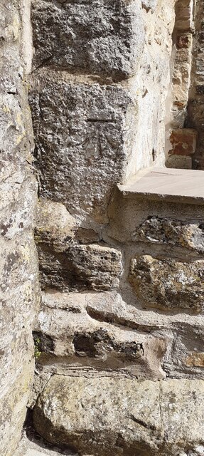
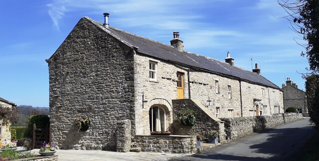
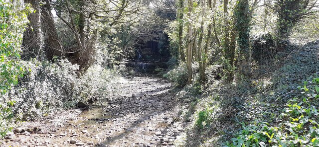
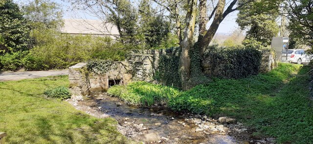
Poor's Land Images

Images are sourced within 2km of 54.276027/-2.0059549 or Grid Reference SD9986. Thanks to Geograph Open Source API. All images are credited.

Folly Lane Ford This ford is found on Folly Lane.
Folly Lane Ford
This ford is found on Folly Lane.
Flout Moor Lane Ford This ford on Haw Beck is found on Flout Moor Lane.
Flout Moor Lane Ford
This ford on Haw Beck is found on Flout Moor Lane.
The Street Head Inn
The Street Head Inn
B6160 in Bishopdale
B6160 in Bishopdale
Benchmark on SW face of Eastburn Farmhouse Ordnance Survey cut mark benchmark levelled at 195.288m above Newlyn Datum verified 1954
Benchmark on SW face of Eastburn Farmhouse
Ordnance Survey cut mark benchmark levelled at 195.288m above Newlyn Datum verified 1954
Eastburn Farmhouse and Eastburn Cottage There is an Ordnance Survey benchmark <a href="https://www.geograph.org.uk/photo/7152876">SD9985 : Benchmark on SW face of Eastburn Farmhouse</a> on the near corner of the building beside the stone gatepost
Eastburn Farmhouse and Eastburn Cottage
There is an Ordnance Survey benchmark SD9985 : Benchmark on SW face of Eastburn Farmhouse on the near corner of the building beside the stone gatepost
View SE along Mill Beck
Mill Beck approaching Millbeck Bridge The footpath to the right passes a Telephone Call Box
Mill Beck approaching Millbeck Bridge
The footpath to the right passes a Telephone Call Box
Limekiln Lane A footpath enclosed by walls near Aysgarth.
Limekiln Lane
A footpath enclosed by walls near Aysgarth.
Folly Lane view Looking east from Folly Lane.
Folly Lane view
Looking east from Folly Lane.
Bishopdale near Thoralby Looking NW.
Bishopdale near Thoralby
Looking NW.
Westfield, Lane, Thoralby Looking north-eastward from Town Head Farm.
Westfield, Lane, Thoralby
Looking north-eastward from Town Head Farm.
Seata Quarry A general view across this old limestone quarry to the west of Aysgarth. Now a nature reserve with interesting plant species.
Seata Quarry
A general view across this old limestone quarry to the west of Aysgarth. Now a nature reserve with interesting plant species.
Lambs pose in the sunshine Lambs in the pastures above Seata Quarry.
Lambs pose in the sunshine
Lambs in the pastures above Seata Quarry.
Fields near to Newbiggin in Bishopdale Wasset Fell Road is a track climbing from the village of Newbiggin, southwards on to the hill ridge rising eventually to Buckden Pike. The roofs of Newbiggin are seen here over enclosures of rough pasture from the descent of the road.
Fields near to Newbiggin in Bishopdale
Wasset Fell Road is a track climbing from the village of Newbiggin, southwards on to the hill ridge rising eventually to Buckden Pike. The roofs of Newbiggin are seen here over enclosures of rough pasture from the descent of the road.
Disused Seata Quarry floor with a good cover of Saxifrage in 2002
Benchmark on a gatepost near Keld Spring
Descent to the ford on Folly Lane
Show me another place!

Poor's Land is located at Grid Ref: SD9986 (Lat: 54.276027, Lng: -2.0059549)

Division: North Riding

Administrative County: North Yorkshire

District: Richmondshire

Police Authority: North Yorkshire

What 3 Words

///reclaimed.calms.squaring. Near Leyburn, North Yorkshire

Nearby Locations

Poor's Land Thoralby

Related Wikis

Thoralby

Thoralby is a village and civil parish in the Richmondshire district of North Yorkshire, England. It lies south of Aysgarth, is within a mile of both Newbiggin...

Newbiggin, south Wensleydale

Newbiggin is a village and civil parish in Bishopdale, a side dale on the south side of Wensleydale, in the Yorkshire Dales in North Yorkshire, England...

Castle Dykes Henge

Castle Dykes Henge is a Class I Neolithic henge earthwork in the Yorkshire Dales National Park in North Yorkshire, England, situated between the villages...

Aysgarth

Aysgarth is a village and civil parish in Wensleydale, in North Yorkshire, England. The village is in the Yorkshire Dales National Park, about 16 miles...

Nearby Amenities

Located within 500m of 54.276027,-2.0059549
Thoralby
Is In Country Code: GB
Is In County: North Yorkshire
Is In Municipality: Richmondshire
Place: hamlet
Source: NPE
Wikidata: Q2449225
Wikipedia: en:Thoralby
Lat/Long: 54.2767071/-1.9998595
Littleburn
Is In Country Code: GB
Is In County: North Yorkshire
Is In Municipality: Richmondshire
Place: isolated_dwelling
Source: os_25k_firstseries
Lat/Long: 54.2724878/-2.0097552
Barrier: stile
Material: stone
Source: survey;gps
Stile: stepover
Lat/Long: 54.2766121/-2.0074202
Telephone
HE Ref: 1096984
Booth: K6
Covered: booth
Listed Status: Grade II
Lat/Long: 54.2767861/-1.9999351
Give Way
Direction: forward
Lat/Long: 54.2770108/-1.99936
Information: guidepost
Tourism: information
Lat/Long: 54.2783135/-2.010267
Give Way
Direction: forward
Lat/Long: 54.2766881/-2.0004256
Give Way
Direction: backward
Lat/Long: 54.276293/-1.9995422
The data included in this document is from www.openstreetmap.org. The data is made available under ODbL.

Have you been to Poor's Land?

Leave your review of Poor's Land below (or comments, questions and feedback).