Lower Intake Rough
Downs, Moorland in Yorkshire
England
Lower Intake Rough
Lower Intake Rough is a picturesque area located in Yorkshire, England. Situated within the larger region of the Yorkshire Downs and Moorland, this particular area is known for its stunning natural beauty and diverse landscape.
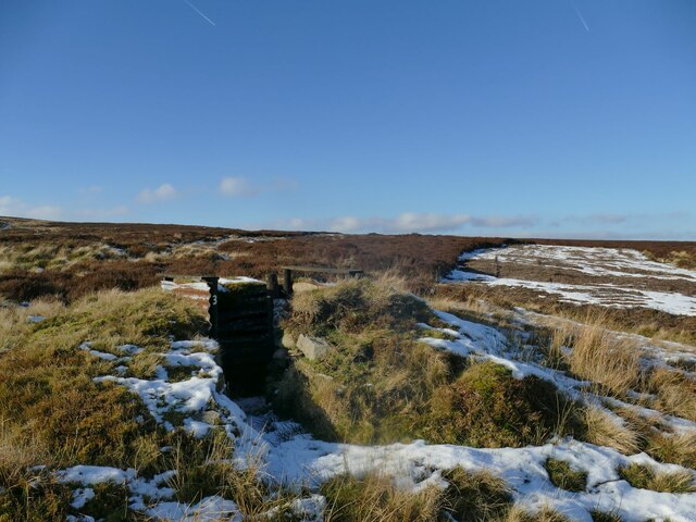
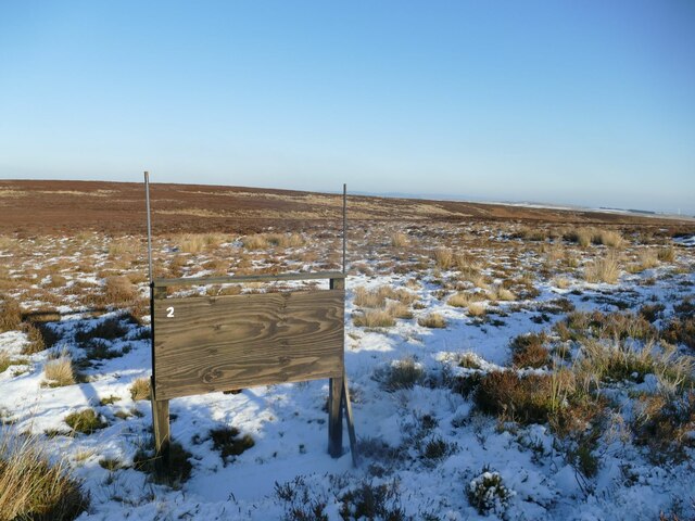
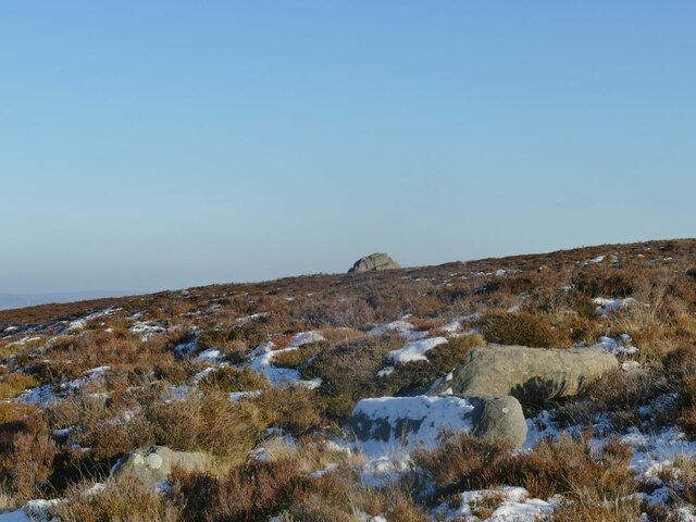
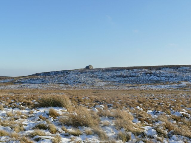
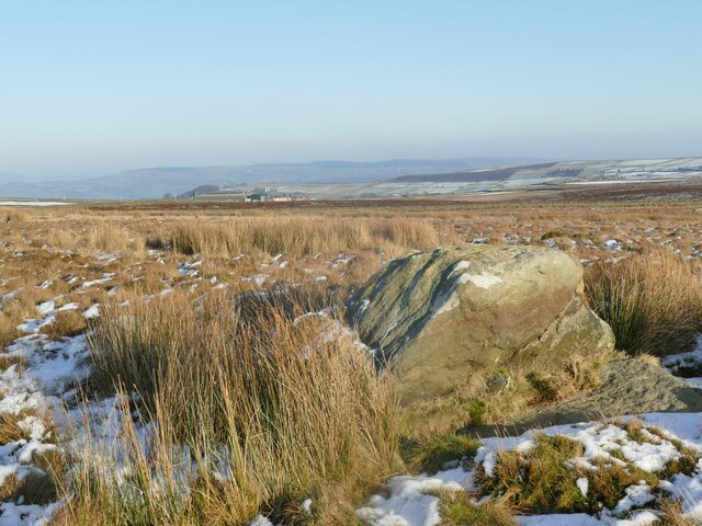
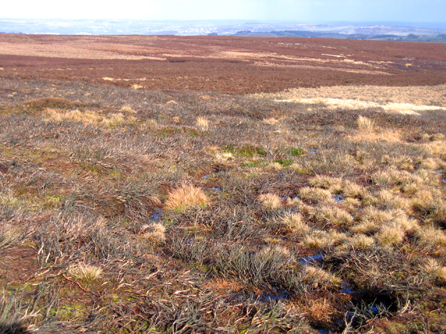
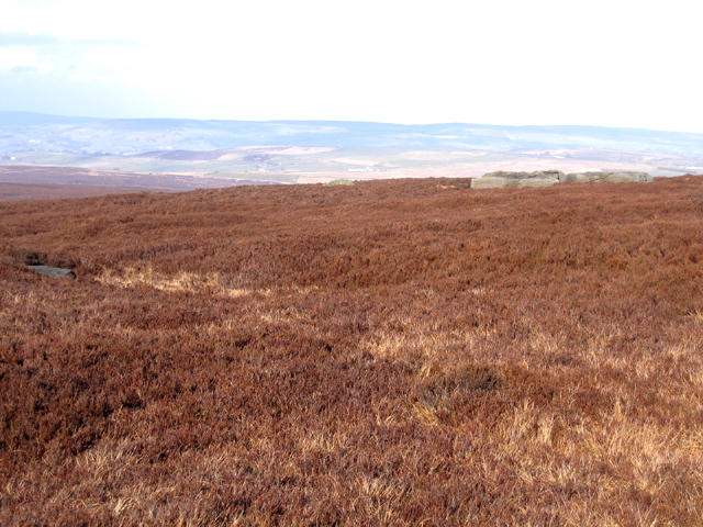
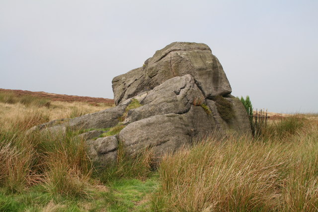
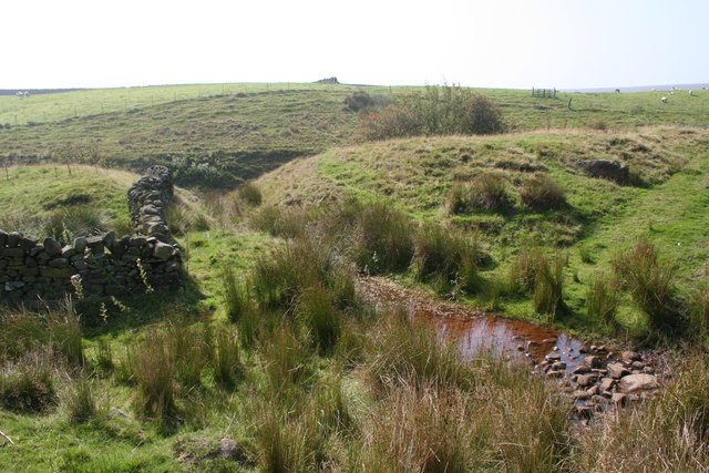
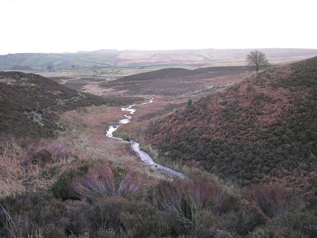
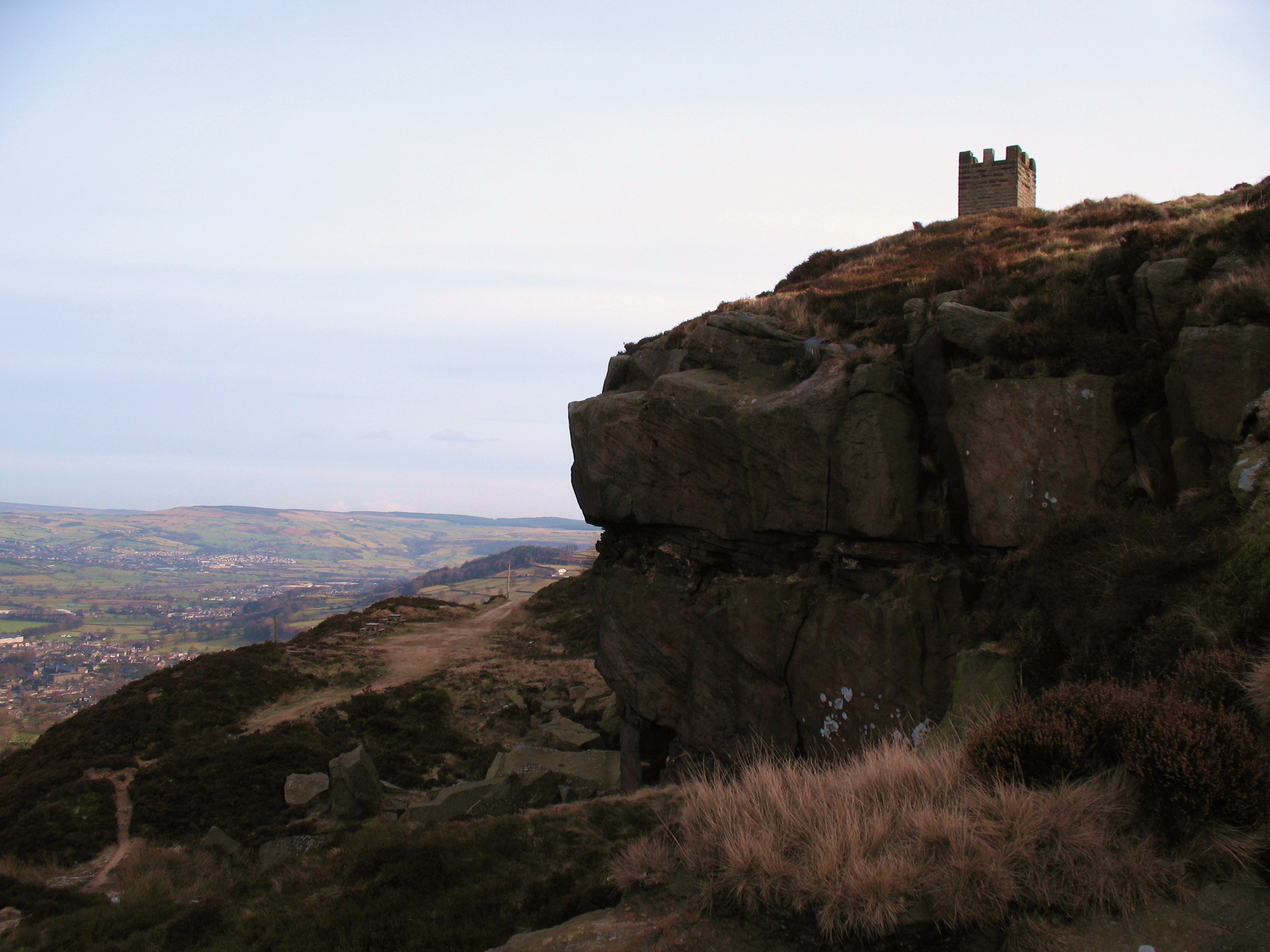
The Yorkshire Downs, surrounding Lower Intake Rough, are characterized by rolling hills and expansive grasslands. These open spaces provide a habitat for a variety of wildlife, including various bird species, mammals, and plant life. The moorlands, on the other hand, offer a more rugged terrain, with heather-covered hills, rocky outcrops, and peat bogs.
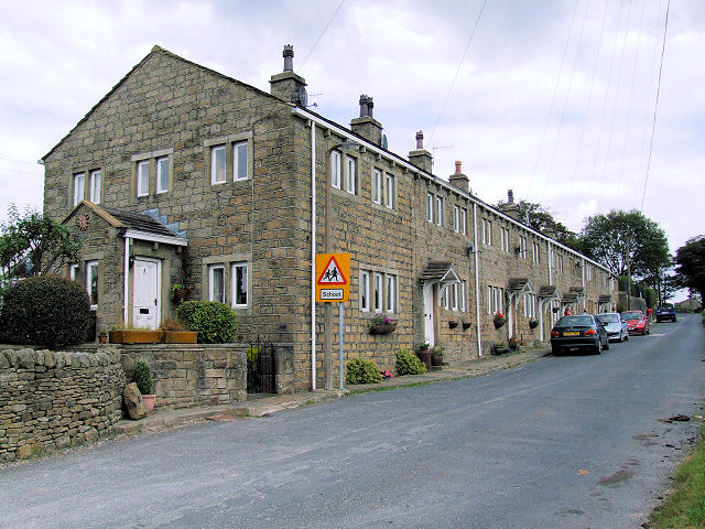
Lower Intake Rough itself is a small village nestled amidst this stunning countryside. It is home to a close-knit community of residents who appreciate the tranquility and natural splendor of the area. The village consists of a cluster of charming cottages, a village hall, and a local pub, serving as the central hub for socializing and community events.
The area attracts visitors and outdoor enthusiasts alike, who come to explore the numerous walking trails and cycling routes that crisscross the Yorkshire Downs and Moorland. These trails offer breathtaking views of the surrounding countryside, providing opportunities for nature photography, birdwatching, and simply enjoying the peacefulness of the area.
Lower Intake Rough is also within close proximity to other attractions in the region, including historic sites, such as ruins of old castles and abbeys, as well as quaint market towns where visitors can experience local culture and sample traditional Yorkshire cuisine.
Overall, Lower Intake Rough offers a tranquil retreat for those seeking to immerse themselves in the natural beauty of the Yorkshire Downs and Moorland, while still being within easy reach of amenities and nearby attractions.
If you have any feedback on the listing, please let us know in the comments section below.
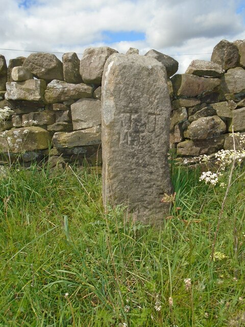
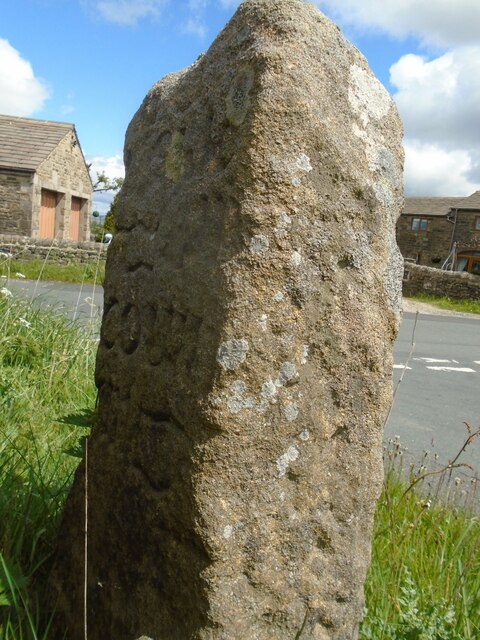
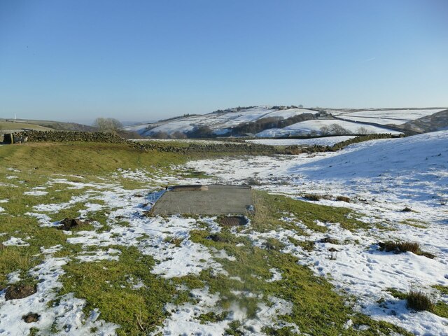
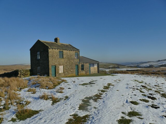
Lower Intake Rough Images
Images are sourced within 2km of 53.860649/-2.0058779 or Grid Reference SD9940. Thanks to Geograph Open Source API. All images are credited.


Lower Intake Rough is located at Grid Ref: SD9940 (Lat: 53.860649, Lng: -2.0058779)
Division: West Riding
Unitary Authority: Bradford
Police Authority: West Yorkshire
What 3 Words
///caressed.section.lamps. Near Glusburn, North Yorkshire
Nearby Locations
Related Wikis

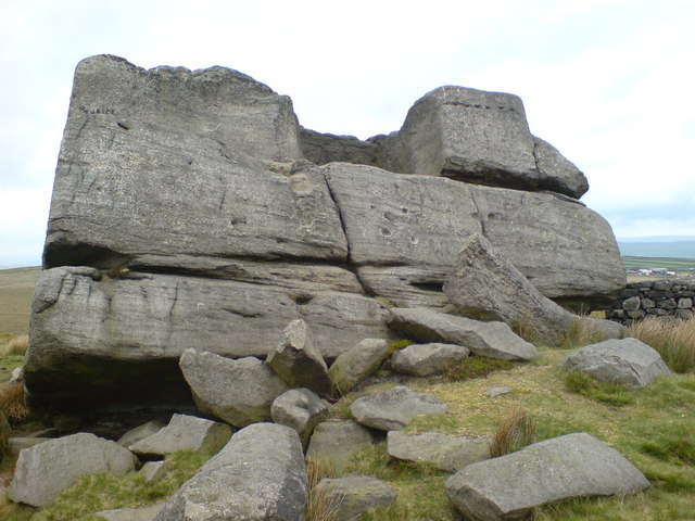
The Hitching Stone
The Hitching Stone is a gritstone erratic block on Keighley Moor, North Yorkshire, near Earl Crag and the village of Cowling. It is very close to the...
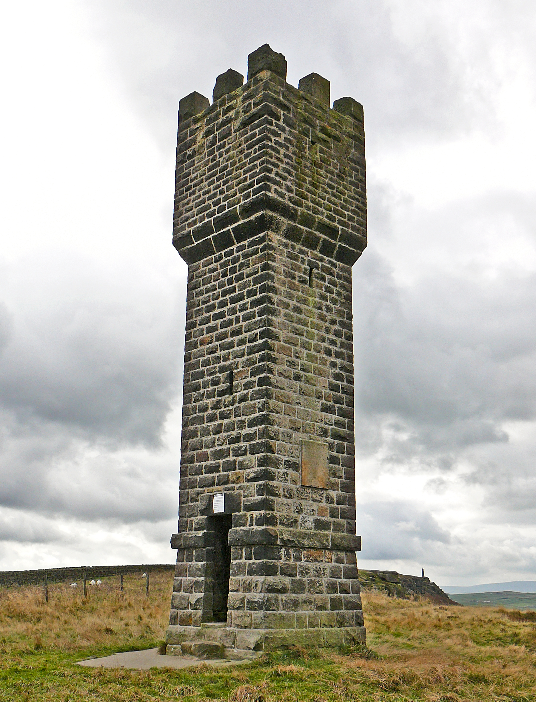
Lund's Tower
Lund's Tower is a stone-built folly situated to the south-west of the North Yorkshire village of Sutton-in-Craven. It is also known as Cowling Pinnacle...
Earl Crag
Earl Crag is a gritstone crag and climbing area in Craven, North Yorkshire, England. It is home to Lund's Tower, Wainman's Pinnacle, and The Hitching...

Wainman's Pinnacle
Wainman's Pinnacle, originally built as a folly (and still used as a folly), is a stone obelisk in Sutton-in-Craven, North Yorkshire. It tends to be referred...
Oldfield, West Yorkshire
Oldfield is a small hamlet within the county of West Yorkshire, England, situated north of Stanbury and near to Oakworth. It is approximately 6 miles...

Scholes, Bradford
Scholes is a hamlet on Oldfield Lane and Hob Cote Lane, in the City of Bradford district, in the county of West Yorkshire, England. Nearby settlements...

Scar Top
Scar Top is a farming hamlet near the tourist village of Haworth in the City of Bradford metropolitan borough, West Yorkshire in England. It is in the...

Ponden Reservoir
Ponden Reservoir is an artificial upland lake in the Worth Valley, near Stanbury, West Yorkshire, England. Ponden was built as a compensation reservoir...
Nearby Amenities
Located within 500m of 53.860649,-2.0058779Have you been to Lower Intake Rough?
Leave your review of Lower Intake Rough below (or comments, questions and feedback).