Tanners
Settlement in Lancashire
England
Tanners

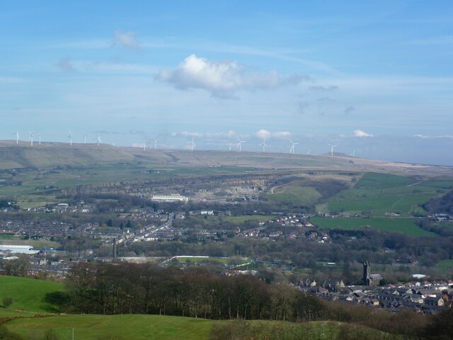
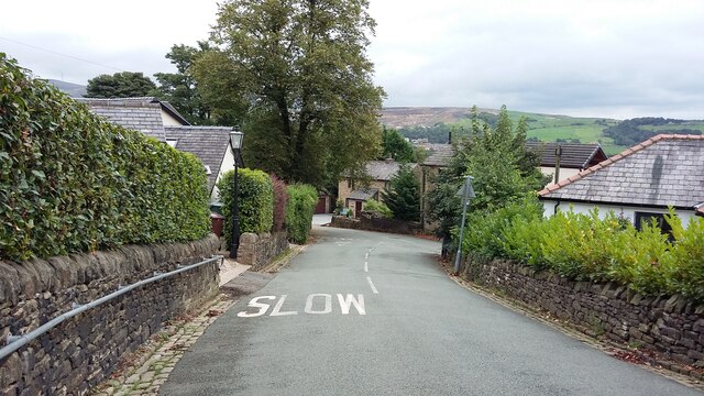
Tanners is a small village located in the county of Lancashire, England. Situated in the West Lancashire district, it lies approximately 6 miles northeast of Ormskirk and 9 miles southwest of Preston. Nestled amidst the picturesque countryside, Tanners boasts a tranquil and idyllic setting.
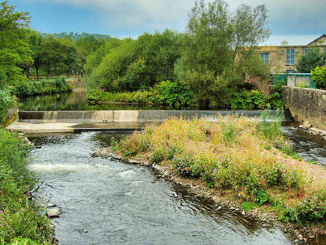
The village is known for its rich history, with evidence of human habitation dating back to the Roman era. Tanners played a significant role during the Industrial Revolution, particularly in the textile industry. Its proximity to rivers and streams made it an ideal location for water-powered mills, which were crucial for the production of cotton and woolen goods.
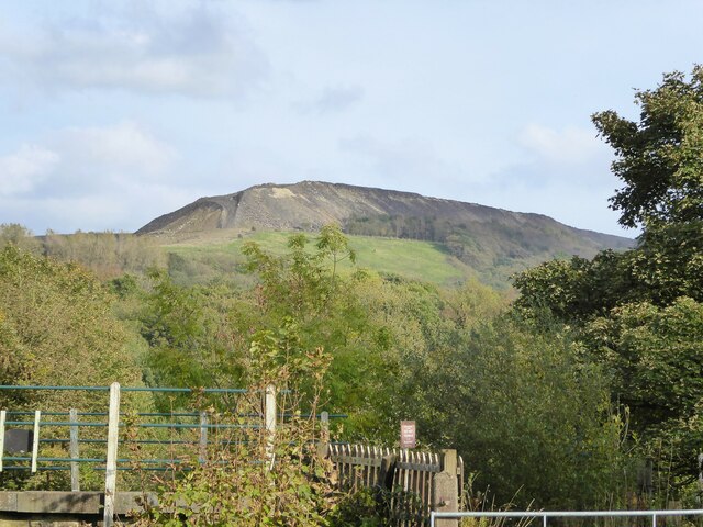
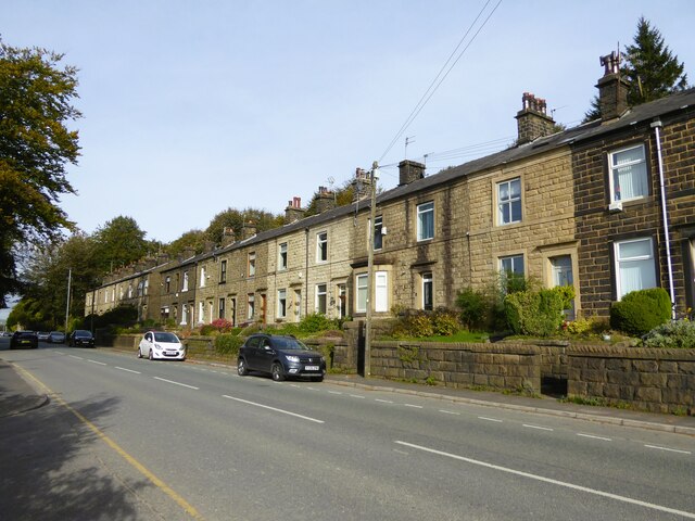
Despite its small size, Tanners offers a range of amenities to its residents. The village has a primary school, a church, and a post office, providing essential services for the local community. The surrounding countryside offers ample opportunities for outdoor activities, including walking, cycling, and horse riding.
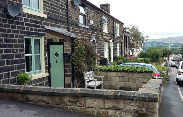
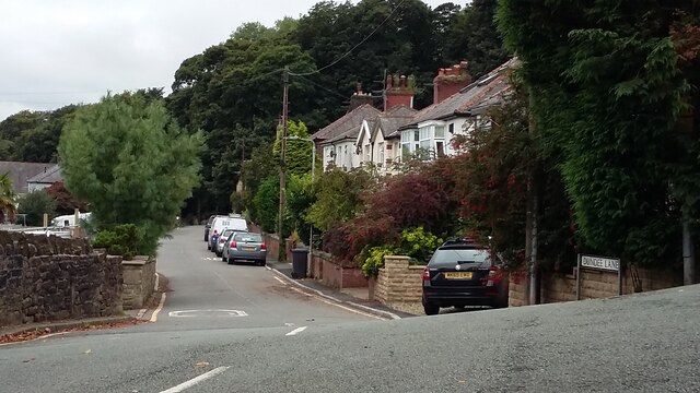
Tanners embodies the charm and character of a traditional English village, with picturesque cottages and well-preserved historic buildings. The close-knit community fosters a friendly and welcoming atmosphere, where neighbors often come together for events and social gatherings.
While Tanners may not have the bustling energy of larger towns, its peaceful ambiance and natural beauty make it an ideal place for those seeking a quieter and more relaxed lifestyle.
If you have any feedback on the listing, please let us know in the comments section below.
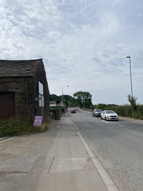
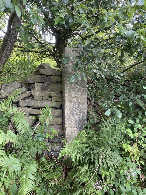
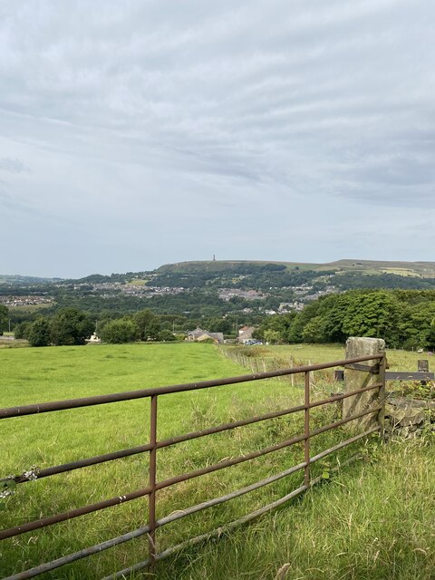
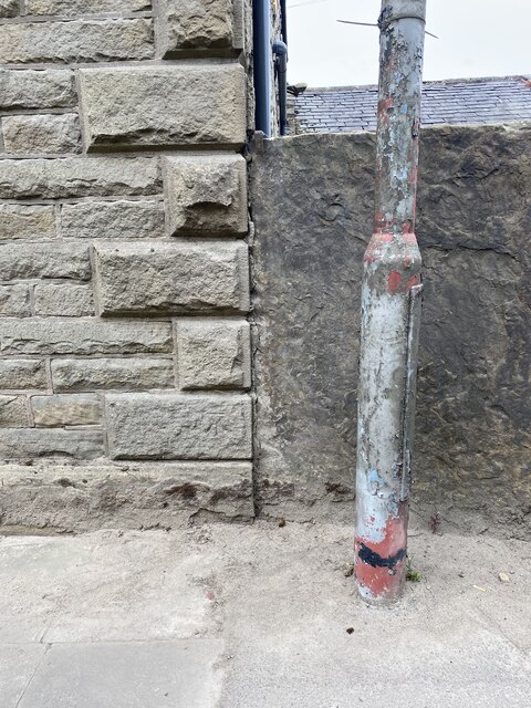
Tanners Images
Images are sourced within 2km of 53.645912/-2.32445 or Grid Reference SD7816. Thanks to Geograph Open Source API. All images are credited.


Tanners is located at Grid Ref: SD7816 (Lat: 53.645912, Lng: -2.32445)
Unitary Authority: Bury
Police Authority: Greater Manchester
What 3 Words
///bleak.download.violinist. Near Ramsbottom, Manchester
Nearby Locations
Related Wikis
Holcombe, Greater Manchester
Holcombe is a village in Ramsbottom ward, Metropolitan Borough of Bury, in Greater Manchester, England. It is situated south of Haslingden, east of Edgworth...

Ramsbottom
Ramsbottom is a market town in the Metropolitan Borough of Bury, Greater Manchester, England. The population at the 2011 census was 17,872.Historically...
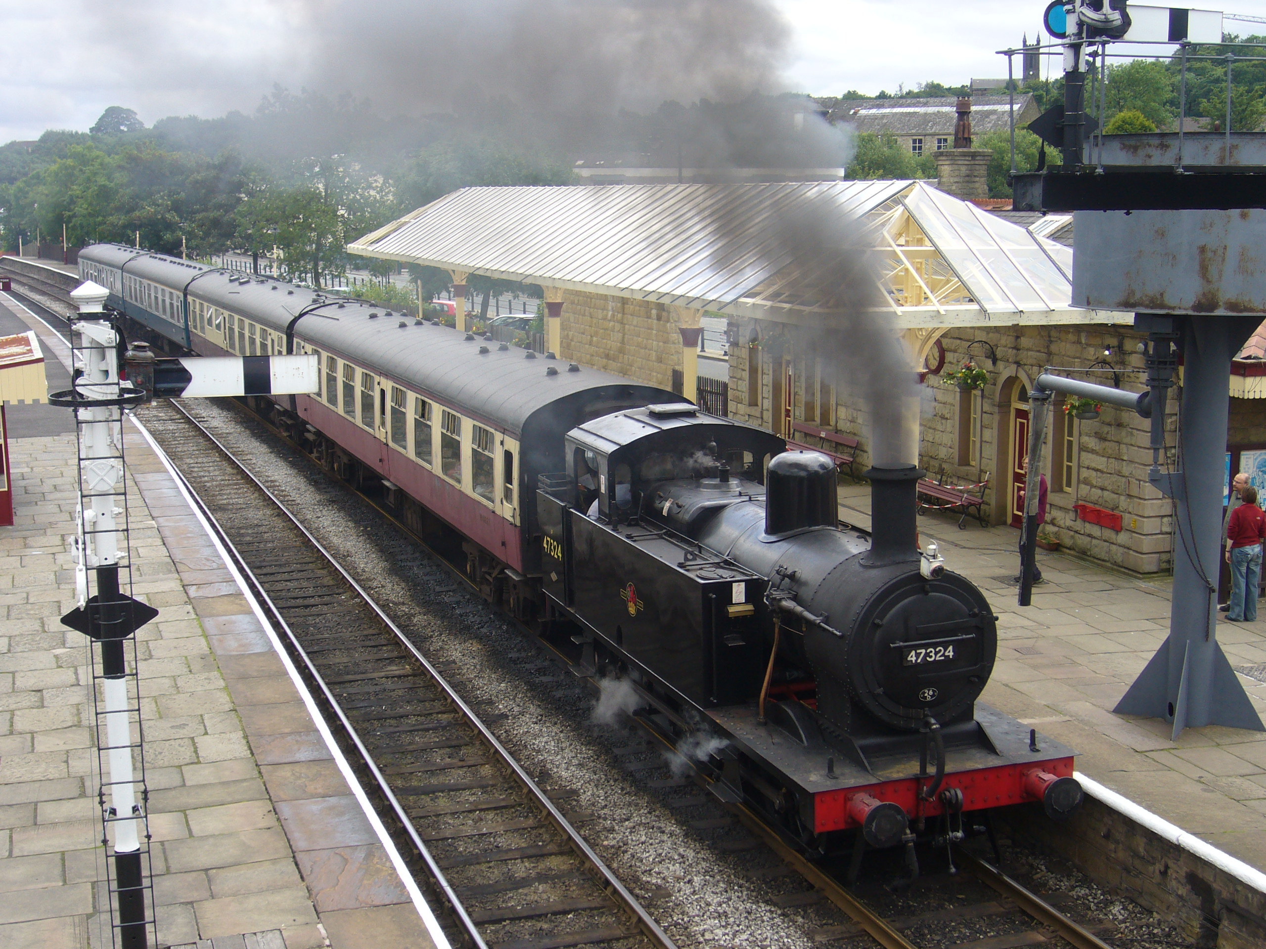
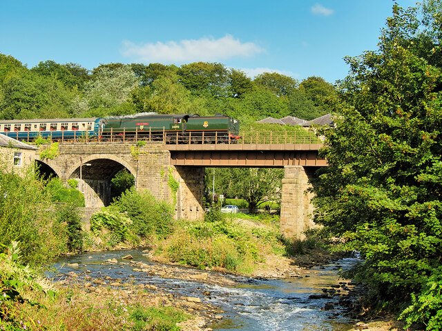
Ramsbottom railway station
Ramsbottom railway station is a heritage station serving the town of Ramsbottom in Greater Manchester, England. == History == The station was built by...

Ramsbottom United F.C.
Ramsbottom United Football Club are an English football club based in Ramsbottom, Greater Manchester. Nicknamed "The Rams", they currently compete in the...

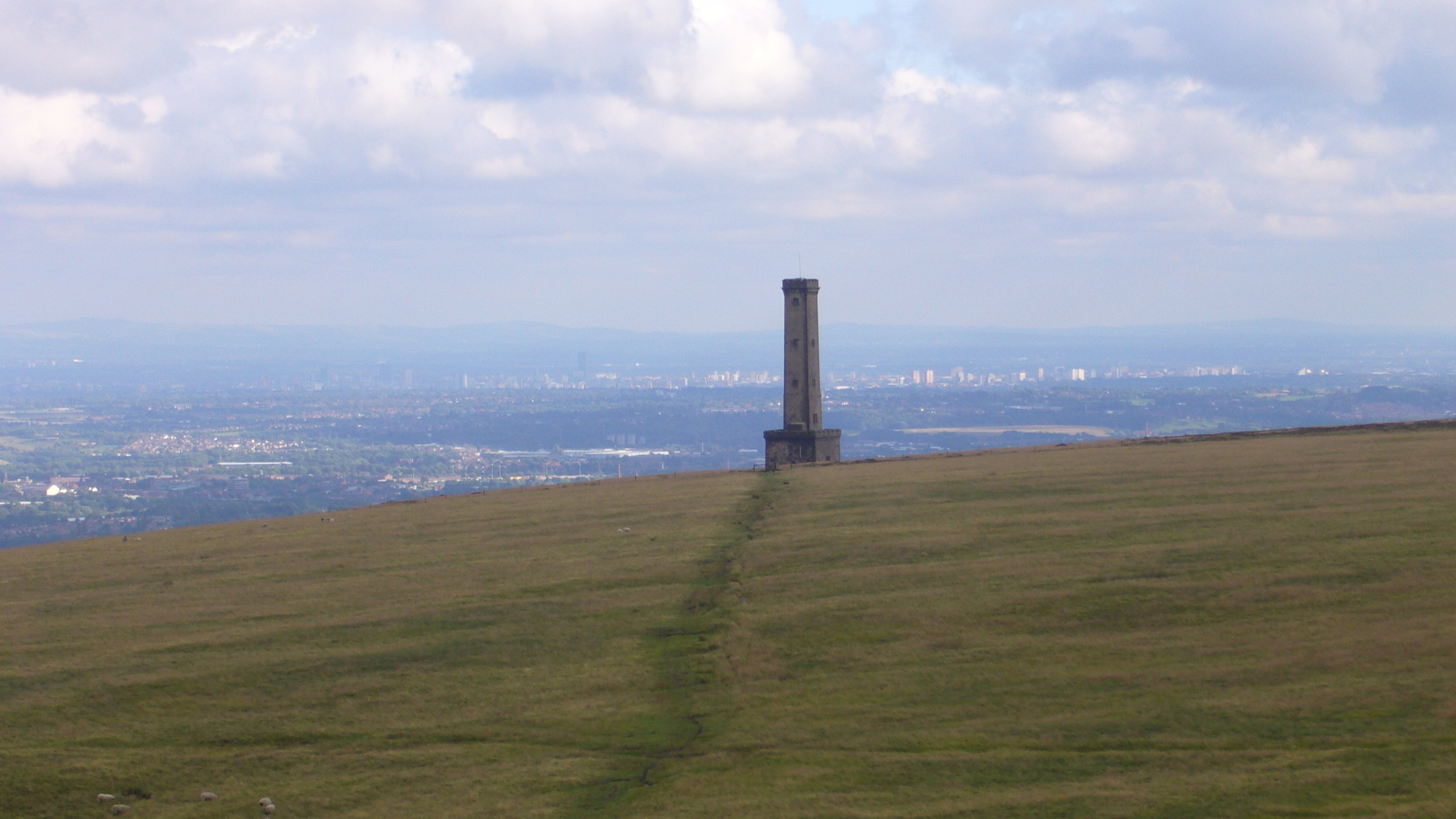
Peel Monument
See peel tower for the generic structureThe memorial tower to Sir Robert Peel, high above Ramsbottom was planned and erected at the same time as Bury was...
Darul Uloom Bury
Darul Uloom Al Arabiya Al Islamiyya (Arabic: دار العلوم العربية الإسلامية), better known as Darul Uloom Bury, was established in 1979 and is the oldest...
Woodhey High School
Woodhey High School is a coeducational secondary school in Ramsbottom, in the Metropolitan Borough of Bury, Greater Manchester, England.Woodhey High School...

Stubbins
Stubbins is an industrial village in the southern part of the Rossendale Valley, Lancashire, England. It is half a mile north of Ramsbottom town centre...
Nearby Amenities
Located within 500m of 53.645912,-2.32445Have you been to Tanners?
Leave your review of Tanners below (or comments, questions and feedback).