Holcombe
Settlement in Lancashire
England
Holcombe

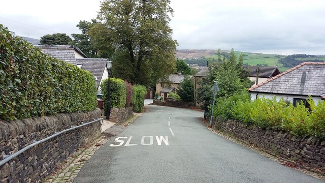
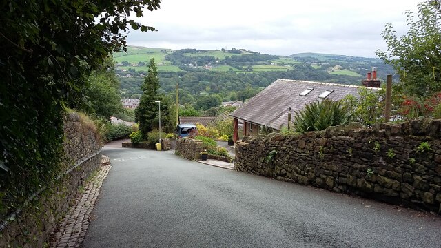
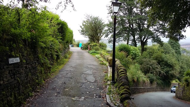
Holcombe is a small village located in the county of Lancashire, England. Situated on the lower slopes of Holcombe Hill, it is nestled within the picturesque Rossendale Valley. The village is part of the larger Ramsbottom area, which lies approximately 3 miles to the northwest.
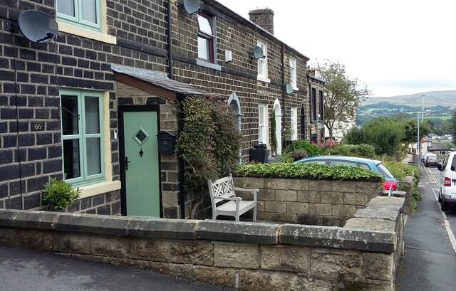
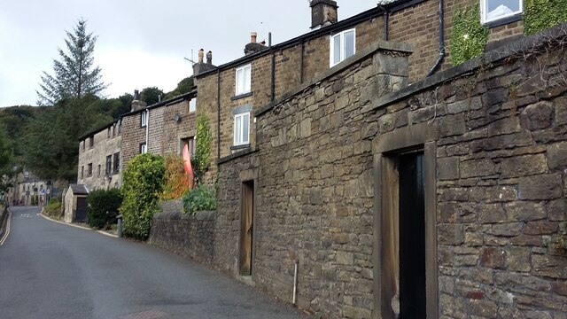
With a population of around 1,000 residents, Holcombe exudes a quaint and close-knit community feel. Its history dates back to the medieval era, and remnants of this heritage can still be seen in the form of historic buildings, including the Grade II listed Holcombe Tower.
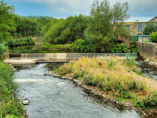
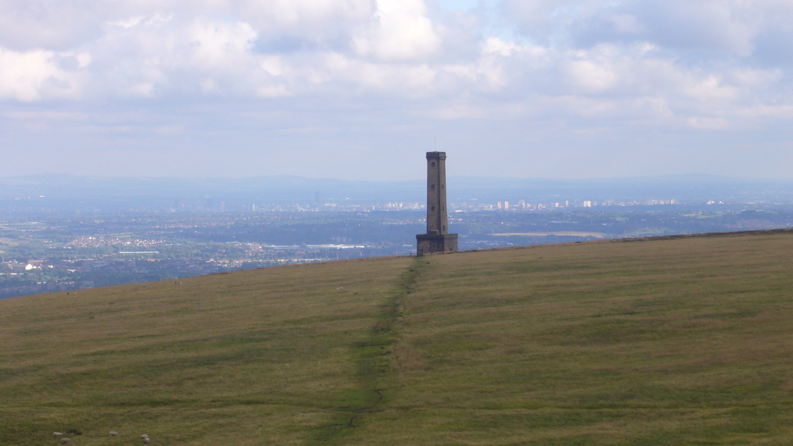
Nature enthusiasts are drawn to Holcombe due to its proximity to the beautiful countryside. Holcombe Hill, with an elevation of 1,191 feet, offers stunning panoramic views of the surrounding landscapes, including the West Pennine Moors and Greater Manchester. The area is a popular destination for hikers and walkers, with several well-maintained trails to explore.
Despite its small size, Holcombe boasts a few amenities for its residents and visitors. The village is home to a local pub, The Shoulder of Mutton, which serves traditional pub fare and beverages. The nearby town of Ramsbottom provides additional amenities, including shops, restaurants, and leisure facilities.
Transport connections to Holcombe are convenient, with regular bus services linking the village to surrounding towns and cities. The M66 motorway is easily accessible, allowing for convenient travel to Manchester and other nearby urban centers.
Overall, Holcombe offers a tranquil and scenic setting, making it an attractive place to reside or visit for those seeking a peaceful retreat amidst the natural beauty of Lancashire.
If you have any feedback on the listing, please let us know in the comments section below.
Holcombe Images
Images are sourced within 2km of 53.644547/-2.330491 or Grid Reference SD7816. Thanks to Geograph Open Source API. All images are credited.
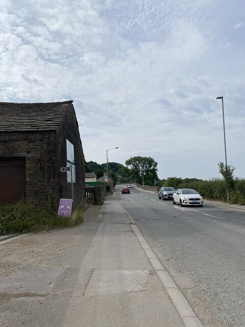
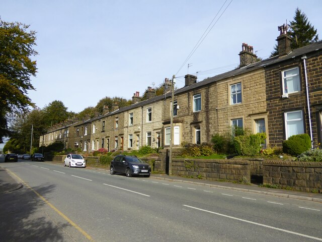
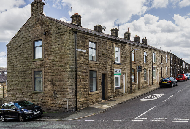
![239 metre spot height, Holcombe At the junction of Chapel Lane and Helmshore Road [B6214], in the centre of the village.](https://s0.geograph.org.uk/geophotos/06/96/36/6963668_61ef1950.jpg)
Holcombe is located at Grid Ref: SD7816 (Lat: 53.644547, Lng: -2.330491)
Unitary Authority: Bury
Police Authority: Greater Manchester
What 3 Words
///dared.bulb.recording. Near Ramsbottom, Manchester
Nearby Locations
Related Wikis
Holcombe, Greater Manchester
Holcombe is a village in Ramsbottom ward, Metropolitan Borough of Bury, in Greater Manchester, England. It is situated south of Haslingden, east of Edgworth...

Peel Monument
See peel tower for the generic structureThe memorial tower to Sir Robert Peel, high above Ramsbottom was planned and erected at the same time as Bury was...

Darul Uloom Bury
Darul Uloom Al Arabiya Al Islamiyya (Arabic: دار العلوم العربية الإسلامية), better known as Darul Uloom Bury, was established in 1979 and is the oldest...

Ramsbottom
Ramsbottom is a market town in the Metropolitan Borough of Bury, Greater Manchester, England. The population at the 2011 census was 17,872.Historically...
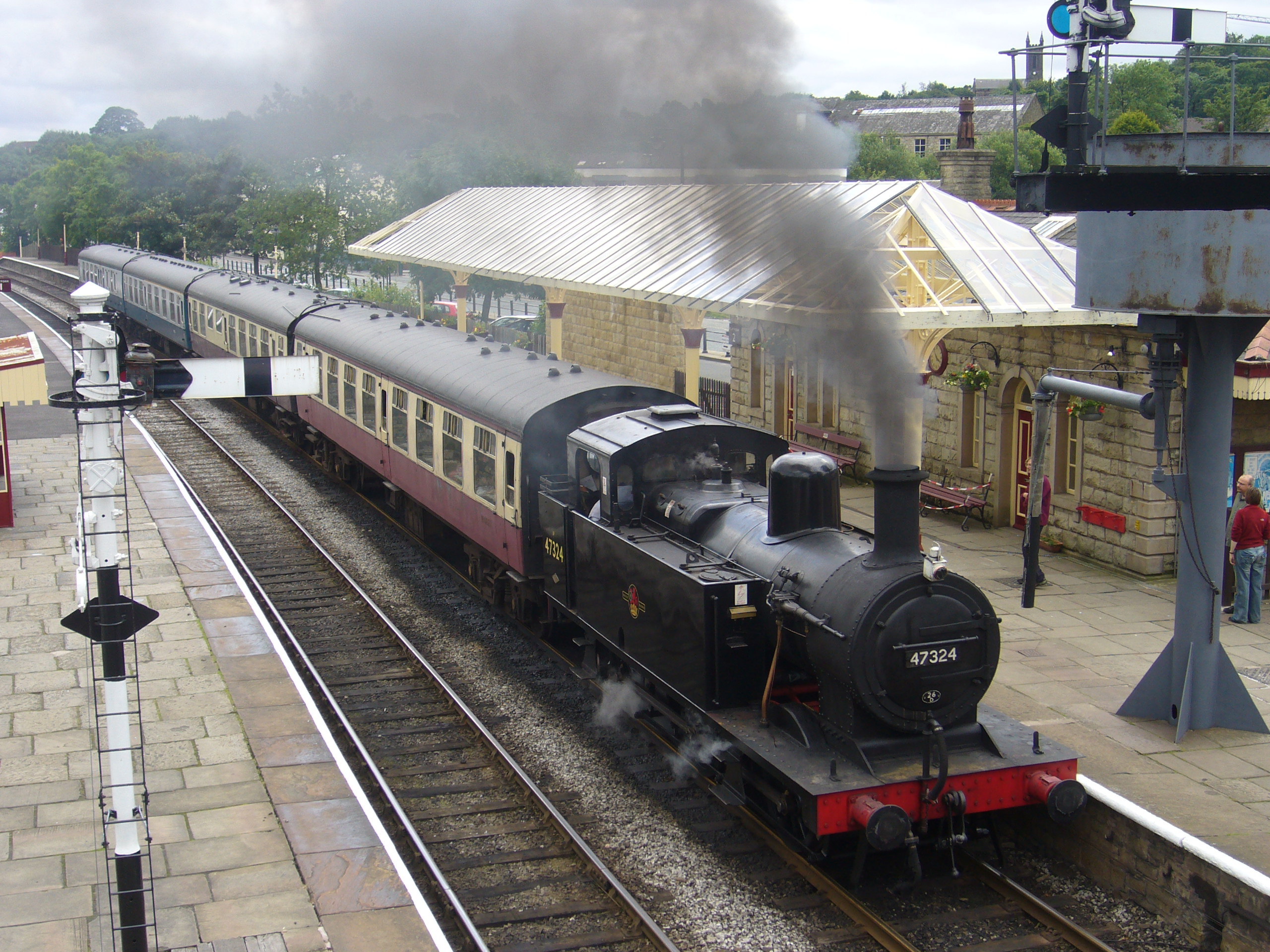
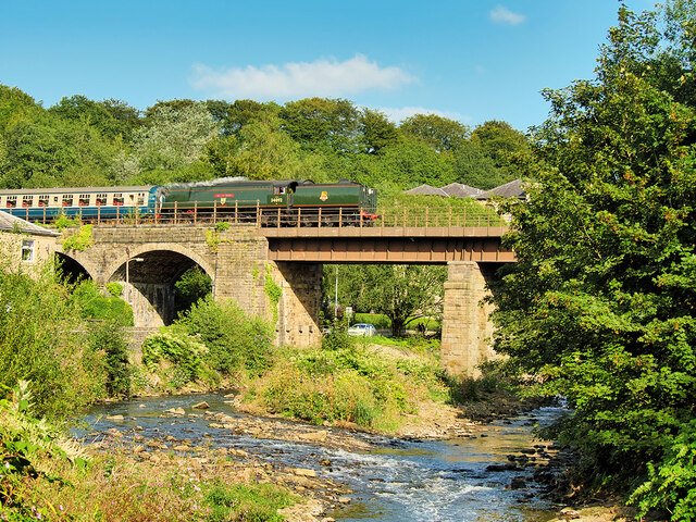
Ramsbottom railway station
Ramsbottom railway station is a heritage station serving the town of Ramsbottom in Greater Manchester, England. == History == The station was built by...
Woodhey High School
Woodhey High School is a coeducational secondary school in Ramsbottom, in the Metropolitan Borough of Bury, Greater Manchester, England.Woodhey High School...
Ramsbottom United F.C.
Ramsbottom United Football Club are an English football club based in Ramsbottom, Greater Manchester. Nicknamed "The Rams", they currently compete in the...
Holcombe Brook railway station
Holcombe Brook railway station was the terminus of the Bury to Holcombe Brook Line in England and served the village of Holcombe Brook in the Metropolitan...
Nearby Amenities
Located within 500m of 53.644547,-2.330491Have you been to Holcombe?
Leave your review of Holcombe below (or comments, questions and feedback).