Tagg Wood

Settlement in Lancashire

England

Tagg Wood

A56, Peel Tower in the distance
A56, Peel Tower in the distance Credit: thejackrustles

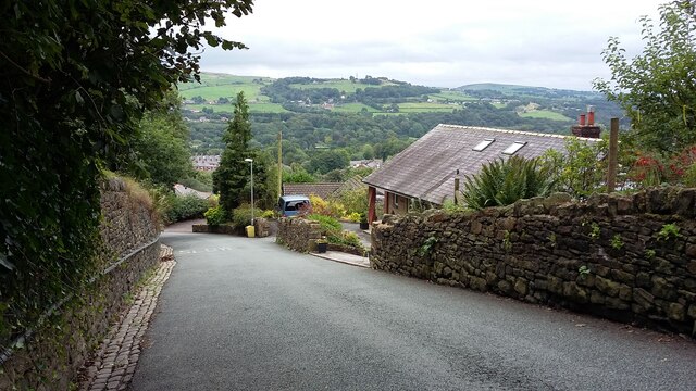
Tagg Wood is a small village located in the county of Lancashire, in the northwestern region of England. Situated near the town of Ormskirk, Tagg Wood is nestled amidst the picturesque landscape of the West Lancashire Plain, known for its rolling hills, lush green fields, and charming rural scenery.

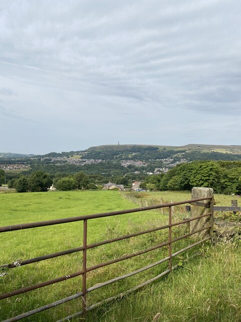
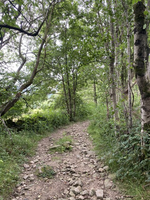
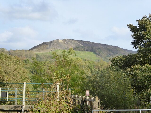
The village is known for its tranquil and idyllic setting, making it a popular destination for those seeking a peaceful retreat away from the hustle and bustle of urban life. Surrounded by dense woodlands, Tagg Wood offers ample opportunities for nature lovers and hikers to explore its beautiful trails and enjoy the abundance of flora and fauna that thrive in the area.

Despite its small size, Tagg Wood is not devoid of amenities. The village boasts a cozy local pub, serving traditional British fare and providing a warm and friendly atmosphere for both locals and visitors alike. Additionally, a small convenience store caters to the daily needs of the community.

Tagg Wood's close proximity to Ormskirk allows residents easy access to a wider range of facilities and services, including schools, shops, and healthcare facilities. The village also benefits from excellent transport links, with regular bus services connecting it to neighboring towns and cities.

All in all, Tagg Wood offers a peaceful and picturesque setting for those seeking a rural escape, while still providing easy access to the amenities and conveniences of nearby towns.

If you have any feedback on the listing, please let us know in the comments section below.
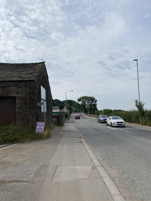
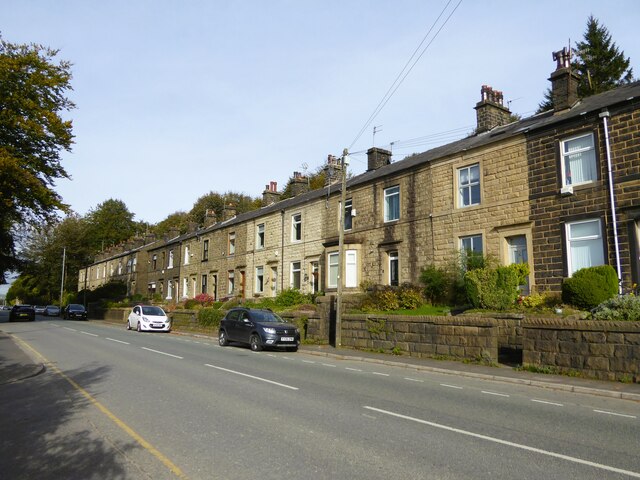
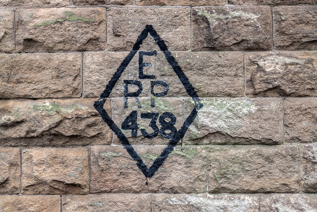
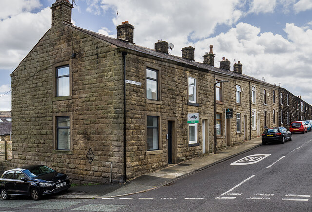
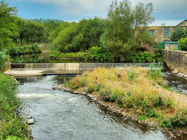
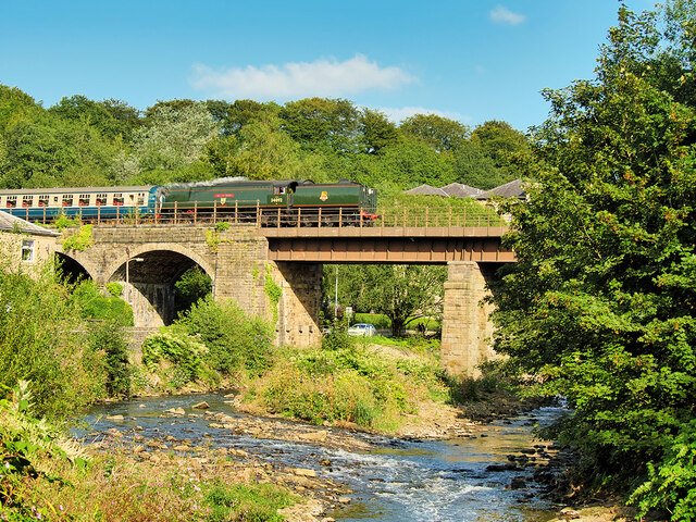
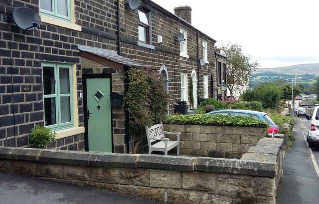
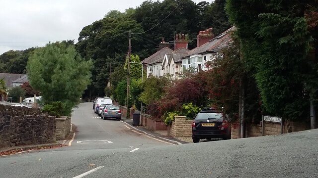
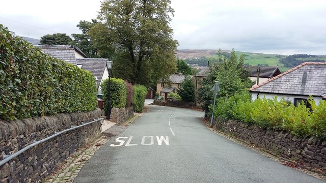
Tagg Wood Images

Images are sourced within 2km of 53.641732/-2.3264036 or Grid Reference SD7816. Thanks to Geograph Open Source API. All images are credited.

A56, Peel Tower in the distance
OS Cut Mark - Ramsbottom, Whitelow Road Right of Way <span class="nowrap"><a title="https://www.bench-marks.org.uk/bm94166" rel="nofollow ugc noopener" href="https://www.bench-marks.org.uk/bm94166">Link</a><img style="margin-left:2px;" alt="External link" title="External link - shift click to open in new window" src="https://s1.geograph.org.uk/img/external.png" width="10" height="10"/></span>
OS Cut Mark - Ramsbottom, Whitelow Road Right of Way
Location of OS Cut Mark - Ramsbottom, Whitelow Road Right of Way
Lovely views
Lovely views
Right of way to Harden Moor A bit bumpy for my liking
Right of way to Harden Moor
A bit bumpy for my liking
Cut Mark - Ramsbottom, Eagle and Child Public House <span class="nowrap"><a title="https://www.bench-marks.org.uk/bm49380" rel="nofollow ugc noopener" href="https://www.bench-marks.org.uk/bm49380">Link</a><img style="margin-left:2px;" alt="External link" title="External link - shift click to open in new window" src="https://s1.geograph.org.uk/img/external.png" width="10" height="10"/></span>
Cut Mark - Ramsbottom, Eagle and Child Public House
Location of Cut Mark - Ramsbottom, Eagle and Child Public House
Quarry spoil heap An active quarry looming above the Irwell Valley
Quarry spoil heap
An active quarry looming above the Irwell Valley
Terrace housing On Whalley Road
Terrace housing
On Whalley Road
WWII Lancashire: Ghost Signs of the Home Front  (20) -
Emergency Rendezvous Point, Rostron Road, Ramsbottom, at junction with Victoria Street

"ERP 438" looks remarkably fresh, most probably repainted.

Emergency Rendezvous Points (ERP) were designated places in the locality for the coordination of ARP and emergency services during civil emergencies, particularly for those services arriving from outside the area. The signs appear in a variety of designs, but most are diamond shapes framing the ERP locality number.

<a href="https://www.geograph.org.uk/photo/6945322">SD7816 : WWII Lancashire: Ghost Signs of the Home Front  (21)</a>
WWII Lancashire: Ghost Signs of the Home Front (20)
- Emergency Rendezvous Point, Rostron Road, Ramsbottom, at junction with Victoria Street "ERP 438" looks remarkably fresh, most probably repainted. Emergency Rendezvous Points (ERP) were designated places in the locality for the coordination of ARP and emergency services during civil emergencies, particularly for those services arriving from outside the area. The signs appear in a variety of designs, but most are diamond shapes framing the ERP locality number. SD7816 : WWII Lancashire: Ghost Signs of the Home Front (21)
WWII Lancashire: Ghost Signs of the Home Front  (21) -
Emergency Rendezvous Point, Rostron Road, Ramsbottom, at junction with Victoria Street

"ERP 438"

Emergency Rendezvous Points (ERP) were designated places in the locality for the coordination of ARP and emergency services during civil emergencies, particularly for those services arriving from outside the area. The signs appear in a variety of designs, but most are diamond shapes framing the ERP locality number.

<a href="https://www.geograph.org.uk/photo/6945337">SD8432 : WWII Lancashire: Ghost Signs of the Home Front  (22)</a>
WWII Lancashire: Ghost Signs of the Home Front (21)
- Emergency Rendezvous Point, Rostron Road, Ramsbottom, at junction with Victoria Street "ERP 438" Emergency Rendezvous Points (ERP) were designated places in the locality for the coordination of ARP and emergency services during civil emergencies, particularly for those services arriving from outside the area. The signs appear in a variety of designs, but most are diamond shapes framing the ERP locality number. SD8432 : WWII Lancashire: Ghost Signs of the Home Front (22)
River Irwell, Ramsbottom Weir Photographed from the Ramsbottom Bridge at Peel Brow. The channel at the left is the old mill stream which served the (now demolished) Holcombe Paper Mill.
River Irwell, Ramsbottom Weir
Photographed from the Ramsbottom Bridge at Peel Brow. The channel at the left is the old mill stream which served the (now demolished) Holcombe Paper Mill.
Brooksbottom Viaduct The Brooksbottom viaduct carries the East Lancashire Railway over the River Irwell and the surrounding valley. The viaduct, seen here from Waterside Road, was constructed in 1845.

Here, preserved former British Railways Bulleid 7P5FA 4-6-2 ‘West Country’ class locomotive number 34092 ‘City of Wells’ is crossing the viaduct with an East Lancashire Railway passenger train on the journey from Bury to Rawtenstall.
Brooksbottom Viaduct
The Brooksbottom viaduct carries the East Lancashire Railway over the River Irwell and the surrounding valley. The viaduct, seen here from Waterside Road, was constructed in 1845. Here, preserved former British Railways Bulleid 7P5FA 4-6-2 ‘West Country’ class locomotive number 34092 ‘City of Wells’ is crossing the viaduct with an East Lancashire Railway passenger train on the journey from Bury to Rawtenstall.
Houses in Tanners Street, Ramsbottom Built between the mid 1840s and 1890, on the hillside west of the town centre. Lower down the street the original pavement is higher than the modern one.
Houses in Tanners Street, Ramsbottom
Built between the mid 1840s and 1890, on the hillside west of the town centre. Lower down the street the original pavement is higher than the modern one.
Dundee Lane, Ramsbottom In the 1840s there was only Dundee House and Dundee School along this lane, which wasn't mapped as 'Dundee Lane' until 1891. There were one or two more homes by 1927, but the houses seen here were built between 1927 and 1939.
Dundee Lane, Ramsbottom
In the 1840s there was only Dundee House and Dundee School along this lane, which wasn't mapped as 'Dundee Lane' until 1891. There were one or two more homes by 1927, but the houses seen here were built between 1927 and 1939.
Slow on Rawsons Rake, Ramsbottom A 25% gradient. Slow for vehicles coming down, slow for pedestrians going up.
Slow on Rawsons Rake, Ramsbottom
A 25% gradient. Slow for vehicles coming down, slow for pedestrians going up.
Rawsons Rake, Ramsbottom Descending steeply towards the town centre in the valley bottom.
Rawsons Rake, Ramsbottom
Descending steeply towards the town centre in the valley bottom.
Show me another place!

Tagg Wood is located at Grid Ref: SD7816 (Lat: 53.641732, Lng: -2.3264036)

Unitary Authority: Bury

Police Authority: Greater Manchester

What 3 Words

///wiring.quack.searcher. Near Ramsbottom, Manchester

Related Wikis

Holcombe, Greater Manchester

Holcombe is a village in Ramsbottom ward, Metropolitan Borough of Bury, in Greater Manchester, England. It is situated south of Haslingden, east of Edgworth...

Darul Uloom Bury

Darul Uloom Al Arabiya Al Islamiyya (Arabic: دار العلوم العربية الإسلامية), better known as Darul Uloom Bury, was established in 1979 and is the oldest...

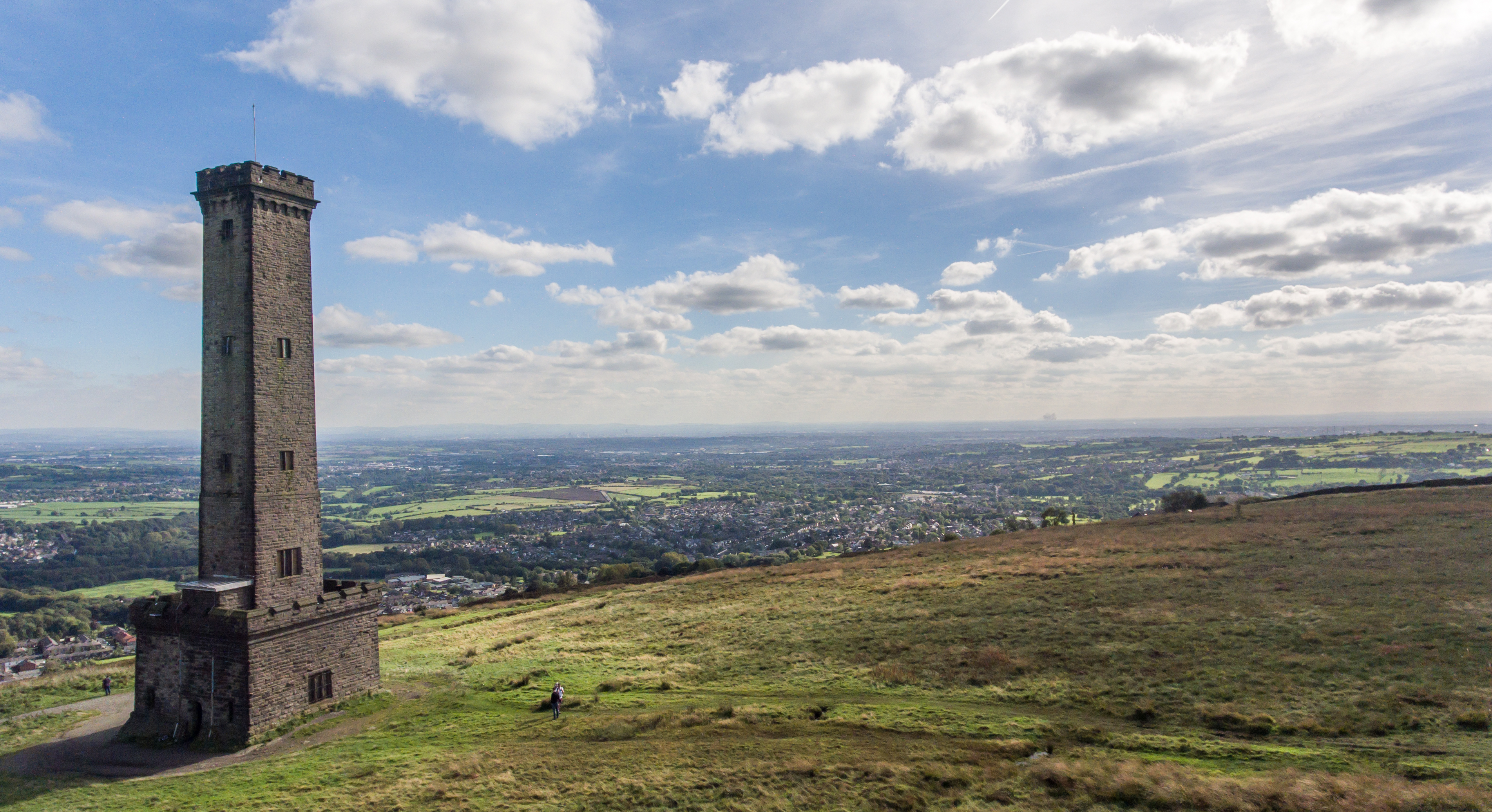
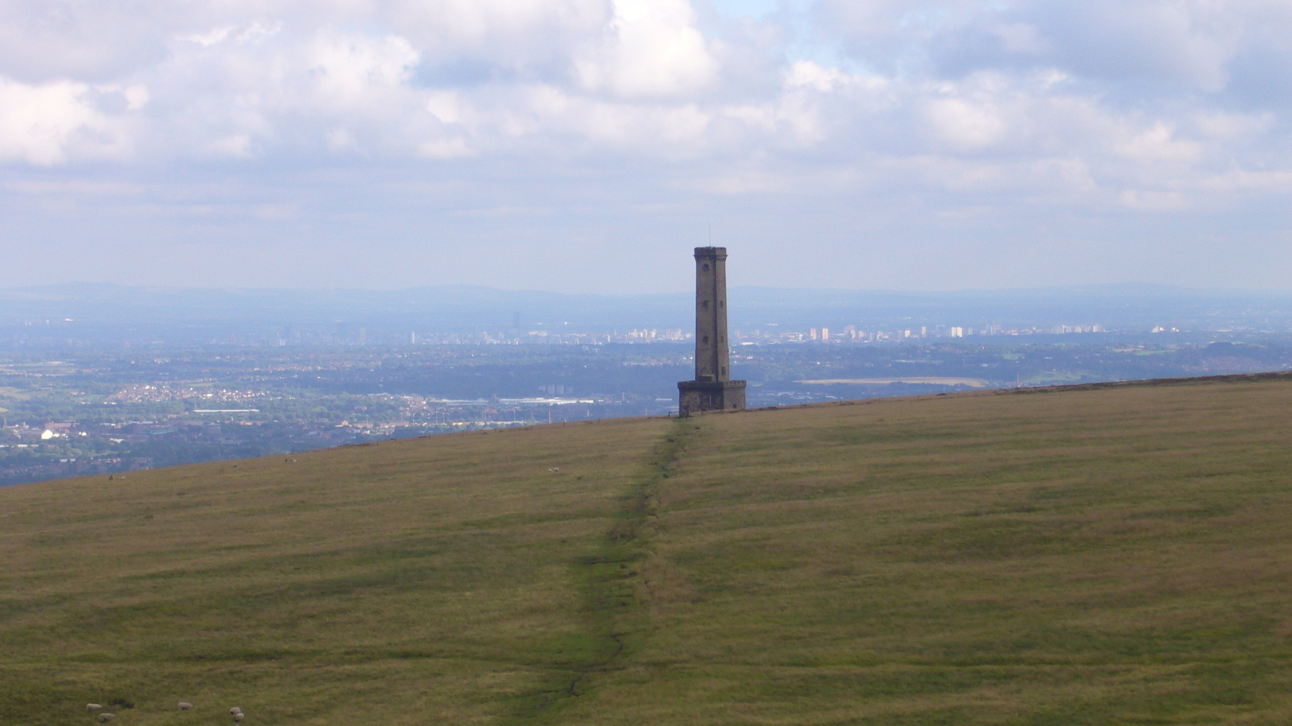
Peel Monument, Ramsbottom

See peel tower for the generic structureThe Peel Monument at Ramsbottom, Lancashire, England, is one of two monuments erected in memory of Bury-born Prime...

Woodhey High School

Woodhey High School is a coeducational secondary school in Ramsbottom, in the Metropolitan Borough of Bury, Greater Manchester, England.Woodhey High School...

Nearby Amenities

Located within 500m of 53.641732,-2.3264036
Created By: YahooApplet 1.0
Lat/Long: 53.6435275/-2.3215482
Traffic Signals
Created By: YahooApplet 1.0
Lat/Long: 53.6429042/-2.3223422
Created By: YahooApplet 1.0
Lat/Long: 53.6422809/-2.3231039
Created By: YahooApplet 1.0
Lat/Long: 53.6415749/-2.3240159
Created By: YahooApplet 1.0
Lat/Long: 53.6394568/-2.326741
Created By: YahooApplet 1.0
Lat/Long: 53.6387698/-2.3276529
Created By: YahooApplet 1.0
Lat/Long: 53.6461265/-2.3263762
Created By: YahooApplet 1.0
Lat/Long: 53.6457831/-2.3265586
Created By: YahooApplet 1.0
Lat/Long: 53.6455032/-2.3266015
Created By: YahooApplet 1.0
Lat/Long: 53.6446001/-2.3252389
Created By: YahooApplet 1.0
Lat/Long: 53.6438624/-2.3239729
Created By: YahooApplet 1.0
Lat/Long: 53.6444284/-2.3214624
Created By: YahooApplet 1.0
Lat/Long: 53.6446701/-2.3220739
Created By: YahooApplet 1.0
Lat/Long: 53.6438115/-2.3222134
Created By: YahooApplet 1.0
Lat/Long: 53.6425799/-2.321684
Created By: YahooApplet 1.0
Lat/Long: 53.6424245/-2.3213873
Created By: YahooApplet 1.0
Lat/Long: 53.6422336/-2.321044
Turning Circle
Lat/Long: 53.6391185/-2.331
Barrier: bollard
Lat/Long: 53.6417298/-2.3220426
Bus Stop
Bolton Street/Buchanan Street
Bus: yes
Naptan AtcoCode: 1800NC01271
Naptan Bearing: SW
Naptan CommonName: Bolton Street/Buchanan Street
Naptan Indicator: Opp House 192
Naptan Landmark: HOUSE 189
Naptan NaptanCode: mandmgpj
Naptan PlusbusZoneRef: MNCRPIC
Naptan ShortCommonName: Buchanan Street
Naptan Street: BOLTON STREET
Naptan Verified: no
Network: TfGM
Public Transport: platform
Source: naptan_import
Lat/Long: 53.6436056/-2.3213523
Bus Stop
Bolton Road West/Cunliffe Avenue
Bus: yes
Naptan AtcoCode: 1800NC07141
Naptan Bearing: NE
Naptan CommonName: Bolton Road West/Cunliffe Avenue
Naptan Indicator: O/s House 242
Naptan Landmark: HOUSE 242
Naptan NaptanCode: mandpata
Naptan PlusbusZoneRef: MNCRPIC
Naptan ShortCommonName: Cunliffe Avenue
Naptan Street: BOLTON ROAD W
Naptan Verified: no
Network: TfGM
Public Transport: platform
Source: naptan_import
Lat/Long: 53.6376609/-2.3291719
Bus Stop
Bolton Road West/Regent Street
Bus: yes
Naptan AtcoCode: 1800NC07151
Naptan Bearing: SW
Naptan CommonName: Bolton Road West/Regent Street
Naptan Indicator: Hazelhurst
Naptan Landmark: HAZELHURST
Naptan NaptanCode: mandpatd
Naptan PlusbusZoneRef: MNCRPIC
Naptan ShortCommonName: Regent Street
Naptan Street: Bolton Road West
Naptan Verified: no
Network: TfGM
Public Transport: platform
Source: naptan_import
Lat/Long: 53.6391047/-2.3271261
Bus Stop
Bolton Road West/Regent Street
Bus: yes
Naptan AtcoCode: 1800NC07161
Naptan Bearing: NE
Naptan CommonName: Bolton Road West/Regent Street
Naptan Indicator: The Fusilier
Naptan Landmark: THE FUSILIER
Naptan NaptanCode: mandpatg
Naptan PlusbusZoneRef: MNCRPIC
Naptan ShortCommonName: Regent Street
Naptan Street: BOLTON ROAD W
Naptan Verified: no
Network: TfGM
Public Transport: platform
Source: naptan_import
Lat/Long: 53.6397806/-2.326481
Bus Stop
Bolton Road West/Alfred Street
Bus: yes
Naptan AtcoCode: 1800NC07171
Naptan Bearing: SW
Naptan CommonName: Bolton Road West/Alfred Street
Naptan Indicator: Park
Naptan Landmark: PARK
Naptan NaptanCode: mandpatj
Naptan PlusbusZoneRef: MNCRPIC
Naptan ShortCommonName: Alfred Street
Naptan Street: BOLTON ROAD W
Naptan Verified: no
Network: TfGM
Public Transport: platform
Source: naptan_import
Lat/Long: 53.640151/-2.3257881
Bus Stop
Bolton Road West/Alfred Street
Bus: yes
Naptan AtcoCode: 1800NC07181
Naptan Bearing: NE
Naptan CommonName: Bolton Road West/Alfred Street
Naptan Indicator: O/s House 76
Naptan Landmark: HOUSE 76
Naptan NaptanCode: mandpatm
Naptan PlusbusZoneRef: MNCRPIC
Naptan ShortCommonName: Alfred Street
Naptan Street: BOLTON ROAD W
Naptan Verified: no
Network: TfGM
Public Transport: platform
Source: naptan_import
Lat/Long: 53.6412599/-2.3245865
Bus Stop
Bolton Road West/Hope Street
Bus: yes
Naptan AtcoCode: 1800NC07191
Naptan Bearing: SW
Naptan CommonName: Bolton Road West/Hope Street
Naptan Indicator: House 41
Naptan Landmark: HOUSE 41
Naptan NaptanCode: mandpatp
Naptan PlusbusZoneRef: MNCRPIC
Naptan ShortCommonName: Hope Street
Naptan Street: Bolton Road West
Naptan Verified: no
Network: TfGM
Public Transport: platform
Source: naptan_import
Lat/Long: 53.6421534/-2.323232
Bus Stop
Bolton Street/Dundee Lane
Bus: yes
Naptan AtcoCode: 1800NC07201
Naptan Bearing: NE
Naptan CommonName: Bolton Street/Dundee Lane
Naptan Indicator: Old Dun Horse
Naptan Landmark: OLD DUN HORSE
Naptan NaptanCode: mandpatw
Naptan PlusbusZoneRef: MNCRPIC
Naptan ShortCommonName: Dundee Lane
Naptan Street: BOLTON STREET
Naptan Verified: no
Network: TfGM
Public Transport: platform
Source: naptan_import
Lat/Long: 53.6430915/-2.3222433
Pub
The Masons Arms
Lat/Long: 53.6423631/-2.3226436
Pub
The Fusilier
Lat/Long: 53.6392892/-2.3272808
Bargain Booze
Shop: convenience
Lat/Long: 53.6418843/-2.3238682
Place Of Worship
Dundee United Reformed Church
Denomination: united_reformed
Node Id: 649319435
Religion: christian
Source Name: OS Open Local Important Buildings Layer
Lat/Long: 53.6435599/-2.3240984
Post Box
Lat/Long: 53.6393957/-2.3267412
Pub
Buchanan Sports & Social Club
Lat/Long: 53.6446608/-2.3221841
Post Box
Ref: BL0 102
Lat/Long: 53.6433061/-2.3219136
Noexit: yes
Lat/Long: 53.641066/-2.3268952
Fast Food
Kaash Indian
Addr City: Bury
Addr Housenumber: 202
Addr Postcode: BL0 9JE
Addr Street: Bolton Street
Cuisine: indian
Email: kaashindian@outlook.com
Phone: +44 1706 826689
Website: https://www.kaashtakeaway.co.uk
Lat/Long: 53.6433517/-2.3219253
The data included in this document is from www.openstreetmap.org. The data is made available under ODbL.

Have you been to Tagg Wood?

Leave your review of Tagg Wood below (or comments, questions and feedback).