Ramsbottom

Settlement in Lancashire

England

Ramsbottom

WWII Lancashire: Ghost Signs of the Home Front  (20) -
Emergency Rendezvous Point, Rostron Road, Ramsbottom, at junction with Victoria Street

"ERP 438" looks remarkably fresh, most probably repainted.

Emergency Rendezvous Points (ERP) were designated places in the locality for the coordination of ARP and emergency services during civil emergencies, particularly for those services arriving from outside the area. The signs appear in a variety of designs, but most are diamond shapes framing the ERP locality number.

<a href="https://www.geograph.org.uk/photo/6945322">SD7816 : WWII Lancashire: Ghost Signs of the Home Front  (21)</a>
WWII Lancashire: Ghost Signs of the Home Front (20) Credit: Mike Searle

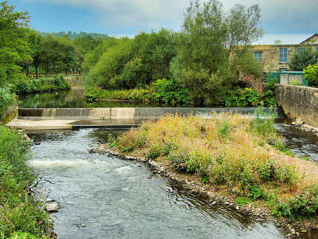
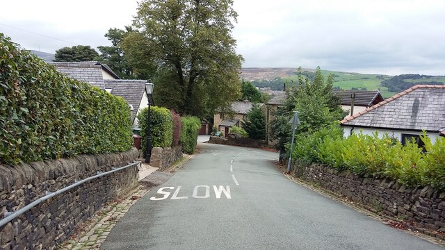
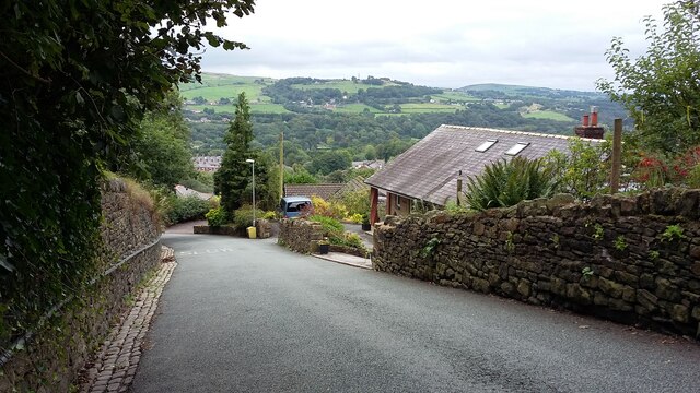
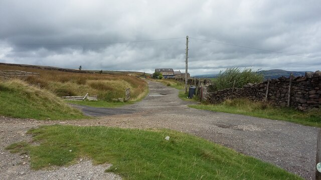
Ramsbottom is a small town located in the Metropolitan Borough of Bury, within the county of Lancashire, England. Situated on the west bank of the River Irwell, it is nestled within the picturesque Rossendale Valley, surrounded by rolling hills and lush green countryside.

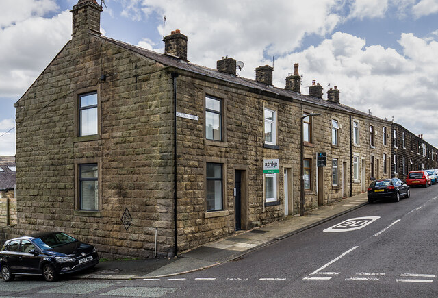
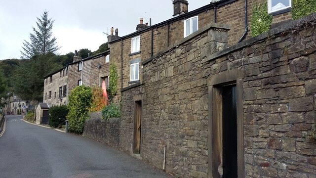
With a population of around 17,000 residents, Ramsbottom has a rich industrial heritage that dates back to the 19th century. It was primarily known for its textile mills, which played a significant role in the town's economic growth during the Industrial Revolution. Today, remnants of this industrial past can still be seen in the form of well-preserved Victorian buildings and former mill sites.

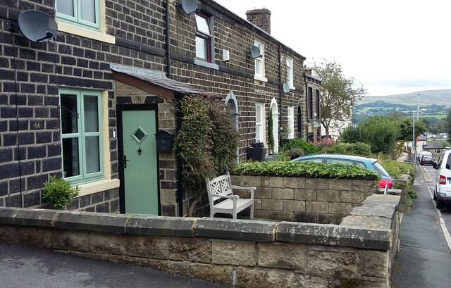
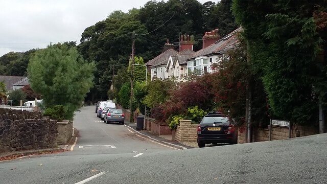
Ramsbottom has evolved into a vibrant and charming town, offering a range of amenities and attractions for both locals and visitors alike. The town center features a variety of independent shops, boutiques, and traditional pubs, adding to its unique character. Food lovers are drawn to Ramsbottom for its renowned culinary scene, which includes award-winning restaurants, cafes, and a popular monthly farmers' market.

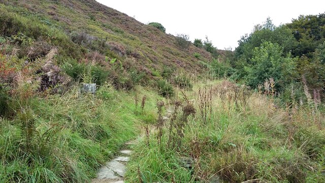
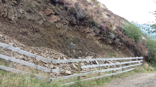
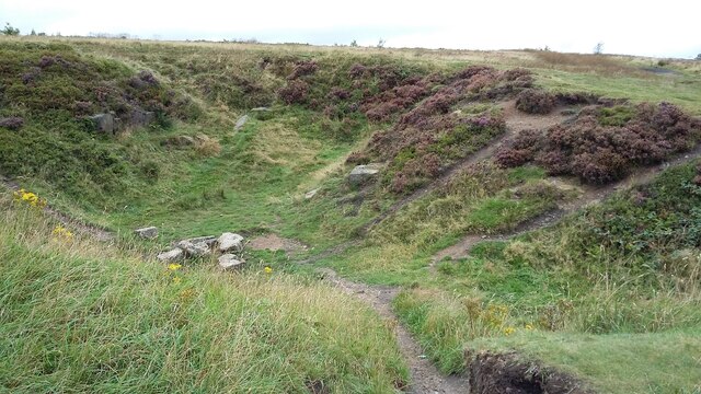
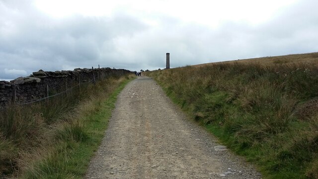
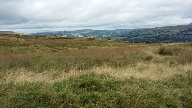
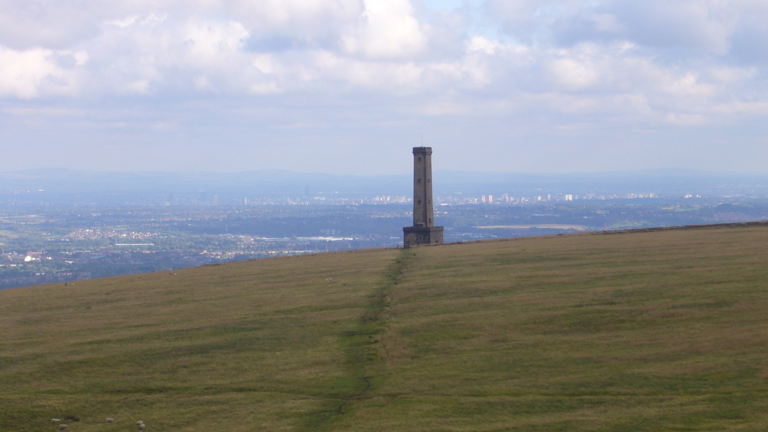
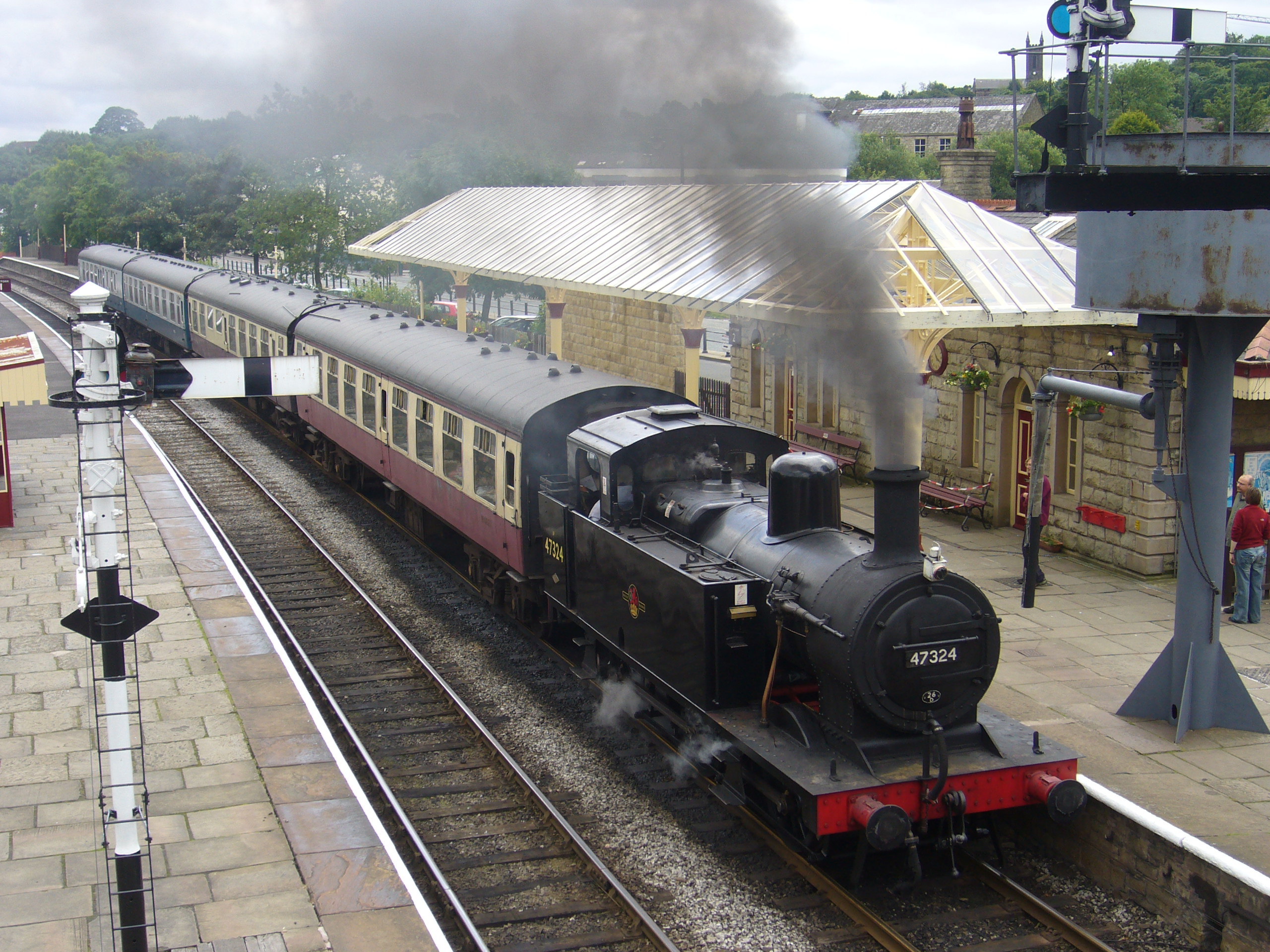
Nature enthusiasts can explore the nearby countryside, including the stunning Peel Tower, a local landmark that offers breathtaking panoramic views of the surrounding area. The town is also home to the East Lancashire Railway, a heritage railway line that allows visitors to take a nostalgic steam train ride through the picturesque landscapes of Lancashire.

Overall, Ramsbottom is a charming town that seamlessly blends its industrial past with its contemporary offerings, making it a delightful destination for history enthusiasts, nature lovers, and food connoisseurs alike.

If you have any feedback on the listing, please let us know in the comments section below.

Ramsbottom Images

Images are sourced within 2km of 53.646784/-2.33429 or Grid Reference SD7816. Thanks to Geograph Open Source API. All images are credited.

WWII Lancashire: Ghost Signs of the Home Front  (20) -
Emergency Rendezvous Point, Rostron Road, Ramsbottom, at junction with Victoria Street

"ERP 438" looks remarkably fresh, most probably repainted.

Emergency Rendezvous Points (ERP) were designated places in the locality for the coordination of ARP and emergency services during civil emergencies, particularly for those services arriving from outside the area. The signs appear in a variety of designs, but most are diamond shapes framing the ERP locality number.

<a href="https://www.geograph.org.uk/photo/6945322">SD7816 : WWII Lancashire: Ghost Signs of the Home Front  (21)</a>
WWII Lancashire: Ghost Signs of the Home Front (20)
- Emergency Rendezvous Point, Rostron Road, Ramsbottom, at junction with Victoria Street "ERP 438" looks remarkably fresh, most probably repainted. Emergency Rendezvous Points (ERP) were designated places in the locality for the coordination of ARP and emergency services during civil emergencies, particularly for those services arriving from outside the area. The signs appear in a variety of designs, but most are diamond shapes framing the ERP locality number. SD7816 : WWII Lancashire: Ghost Signs of the Home Front (21)
WWII Lancashire: Ghost Signs of the Home Front  (21) -
Emergency Rendezvous Point, Rostron Road, Ramsbottom, at junction with Victoria Street

"ERP 438"

Emergency Rendezvous Points (ERP) were designated places in the locality for the coordination of ARP and emergency services during civil emergencies, particularly for those services arriving from outside the area. The signs appear in a variety of designs, but most are diamond shapes framing the ERP locality number.

<a href="https://www.geograph.org.uk/photo/6945337">SD8432 : WWII Lancashire: Ghost Signs of the Home Front  (22)</a>
WWII Lancashire: Ghost Signs of the Home Front (21)
- Emergency Rendezvous Point, Rostron Road, Ramsbottom, at junction with Victoria Street "ERP 438" Emergency Rendezvous Points (ERP) were designated places in the locality for the coordination of ARP and emergency services during civil emergencies, particularly for those services arriving from outside the area. The signs appear in a variety of designs, but most are diamond shapes framing the ERP locality number. SD8432 : WWII Lancashire: Ghost Signs of the Home Front (22)
River Irwell, Ramsbottom Weir Photographed from the Ramsbottom Bridge at Peel Brow. The channel at the left is the old mill stream which served the (now demolished) Holcombe Paper Mill.
River Irwell, Ramsbottom Weir
Photographed from the Ramsbottom Bridge at Peel Brow. The channel at the left is the old mill stream which served the (now demolished) Holcombe Paper Mill.
Houses in Tanners Street, Ramsbottom Built between the mid 1840s and 1890, on the hillside west of the town centre. Lower down the street the original pavement is higher than the modern one.
Houses in Tanners Street, Ramsbottom
Built between the mid 1840s and 1890, on the hillside west of the town centre. Lower down the street the original pavement is higher than the modern one.
Dundee Lane, Ramsbottom In the 1840s there was only Dundee House and Dundee School along this lane, which wasn't mapped as 'Dundee Lane' until 1891. There were one or two more homes by 1927, but the houses seen here were built between 1927 and 1939.
Dundee Lane, Ramsbottom
In the 1840s there was only Dundee House and Dundee School along this lane, which wasn't mapped as 'Dundee Lane' until 1891. There were one or two more homes by 1927, but the houses seen here were built between 1927 and 1939.
Slow on Rawsons Rake, Ramsbottom A 25% gradient. Slow for vehicles coming down, slow for pedestrians going up.
Slow on Rawsons Rake, Ramsbottom
A 25% gradient. Slow for vehicles coming down, slow for pedestrians going up.
Rawsons Rake, Ramsbottom Descending steeply towards the town centre in the valley bottom.
Rawsons Rake, Ramsbottom
Descending steeply towards the town centre in the valley bottom.
Rake Fold, off Rawsons Rake, Holcombe The lane is shown on the map surveyed in the 1840s, with a building on it, but it is not named as 'Rake Fold' until the 1891 map.
Rake Fold, off Rawsons Rake, Holcombe
The lane is shown on the map surveyed in the 1840s, with a building on it, but it is not named as 'Rake Fold' until the 1891 map.
Houses on Helmshore Road, Holcombe Seen from Chapel Lane.
Houses on Helmshore Road, Holcombe
Seen from Chapel Lane.
239 metre spot height, Holcombe At the junction of Chapel Lane and Helmshore Road [B6214], in the centre of the village.
239 metre spot height, Holcombe
At the junction of Chapel Lane and Helmshore Road [B6214], in the centre of the village.
Flagged path climbing the hillside above Holcombe The large-scale OS map surveyed in the 1840s shows this path leading to and from a sandstone quarry higher up the hillside.
Flagged path climbing the hillside above Holcombe
The large-scale OS map surveyed in the 1840s shows this path leading to and from a sandstone quarry higher up the hillside.
Exposed sandstone on the hillside above Holcombe Fenced off for the protection of people using the public footpath alongside.
Exposed sandstone on the hillside above Holcombe
Fenced off for the protection of people using the public footpath alongside.
Peel Monument, Holcombe Hill, from the south The monument commemorates the politician Sir Robert Peel [1788-1850] who was born in Bury. It was built from local stone and completed in 1852.
Peel Monument, Holcombe Hill, from the south
The monument commemorates the politician Sir Robert Peel [1788-1850] who was born in Bury. It was built from local stone and completed in 1852.
Small quarry or delph next to the Peel Monument Perhaps the source of the stone for the monument? Now used by mountain bikers. There is a 338 metre spot height on the rim.
Small quarry or delph next to the Peel Monument
Perhaps the source of the stone for the monument? Now used by mountain bikers. There is a 338 metre spot height on the rim.
Peel Monument, Holcombe Hill, from the north-east Seen from a public footpath on a private track.
Peel Monument, Holcombe Hill, from the north-east
Seen from a public footpath on a private track.
Higher Tops Farm, Harcles Hill, from the south A farm is shown here on the large-scale OS map surveyed in the 1840s, but it is just called 'Top'.
Higher Tops Farm, Harcles Hill, from the south
A farm is shown here on the large-scale OS map surveyed in the 1840s, but it is just called 'Top'.
Five ways at Deep Clough A bridleway, public footpaths and private tracks meet on Moor Road, south of Higher Tops Farm.
Five ways at Deep Clough
A bridleway, public footpaths and private tracks meet on Moor Road, south of Higher Tops Farm.
Irwell Sculpture Trail - The Tilted Vase at Ramsbottom Edward Allington’s giant vase draws its inspiration from the legacy of the Industrial Revolution in the valley. The classical shape of the vase reflects the local architecture, while the manufacture of it is modern, having been built in sections that were bolted together to look like a machine.

Allington, an internationally renowned British Sculptor, was selected from over 30 entrants to design a new artwork for the site of the old market in Ramsbottom, a former textile town.
Irwell Sculpture Trail - The Tilted Vase at Ramsbottom
Edward Allington’s giant vase draws its inspiration from the legacy of the Industrial Revolution in the valley. The classical shape of the vase reflects the local architecture, while the manufacture of it is modern, having been built in sections that were bolted together to look like a machine. Allington, an internationally renowned British Sculptor, was selected from over 30 entrants to design a new artwork for the site of the old market in Ramsbottom, a former textile town.
Show me another place!

Ramsbottom is located at Grid Ref: SD7816 (Lat: 53.646784, Lng: -2.33429)

Unitary Authority: Bury

Police Authority: Greater Manchester

What 3 Words

///overt.random.seatbelt. Near Ramsbottom, Manchester

Related Wikis

Peel Monument

See peel tower for the generic structureThe memorial tower to Sir Robert Peel, high above Ramsbottom was planned and erected at the same time as Bury was...

Holcombe, Greater Manchester

Holcombe is a village in Ramsbottom ward, Metropolitan Borough of Bury, in Greater Manchester, England. It is situated south of Haslingden, east of Edgworth...

Darul Uloom Bury

Darul Uloom Al Arabiya Al Islamiyya (Arabic: دار العلوم العربية الإسلامية), better known as Darul Uloom Bury, was established in 1979 and is the oldest...

Ramsbottom

Ramsbottom is a market town in the Metropolitan Borough of Bury, Greater Manchester, England. The population at the 2011 census was 17,872.Historically...

Ramsbottom railway station

Ramsbottom railway station is a heritage station serving the town of Ramsbottom in Greater Manchester, England. == History == The station was built by...

Woodhey High School

Woodhey High School is a coeducational secondary school in Ramsbottom, in the Metropolitan Borough of Bury, Greater Manchester, England.Woodhey High School...

Ramsbottom United F.C.

Ramsbottom United Football Club are an English football club based in Ramsbottom, Greater Manchester. Nicknamed "The Rams", they currently compete in the...

Stubbins

Stubbins is an industrial village in the southern part of the Rossendale Valley, Lancashire, England. It is half a mile north of Ramsbottom town centre...

Nearby Amenities

Located within 500m of 53.646784,-2.33429
Created By: YahooApplet 1.0
Lat/Long: 53.6462282/-2.3304317
Created By: YahooApplet 1.0
Lat/Long: 53.6459548/-2.3313222
Created By: YahooApplet 1.0
Lat/Long: 53.6476083/-2.3281572
Created By: YahooApplet 1.0
Lat/Long: 53.6487911/-2.3275564
Pub
Shoulder of Mutton
Addr City: Bury
Addr Postcode: BL8 4LZ
Addr Street: Lumb Carr Road
Website: http://www.theshoulderofmuttonholcombe.co.uk/
Lat/Long: 53.6457939/-2.3313355
Bus Stop
Lumb Carr Road
Bus: yes
Naptan AtcoCode: 1800NC22701
Naptan Bearing: S
Naptan CommonName: Lumb Carr Road
Naptan Indicator: O/s House 24
Naptan Landmark: O/S HOUSE 24
Naptan NaptanCode: mandpwma
Naptan PlusbusZoneRef: MNCRPIC
Naptan ShortCommonName: Lumb Carr Road
Naptan Street: Crag Lane
Naptan Verified: no
Network: TfGM
Public Transport: platform
Source: naptan_import
Lat/Long: 53.644681/-2.3324033
Bench
Inscription: You can see our house from here #ourhouse
Lat/Long: 53.6499393/-2.3313574
Barrier: cattle_grid
Lat/Long: 53.6463677/-2.3351873
The data included in this document is from www.openstreetmap.org. The data is made available under ODbL.

Have you been to Ramsbottom?

Leave your review of Ramsbottom below (or comments, questions and feedback).