Ramsburn
Settlement in Banffshire
Scotland
Ramsburn
Ramsburn is a small village located in the historic county of Banffshire, Scotland. Situated in the picturesque countryside, it is nestled between the towns of Cullen and Portsoy. Ramsburn is known for its tranquil and scenic surroundings, making it an ideal destination for those seeking a peaceful retreat.
The village is characterized by its charming stone cottages, which add to its quaint and traditional atmosphere. The local community is tight-knit and friendly, with residents taking pride in maintaining the village's heritage and natural beauty.
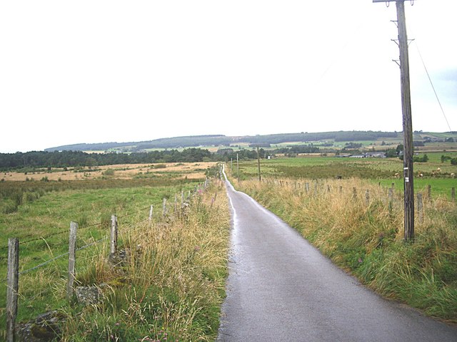
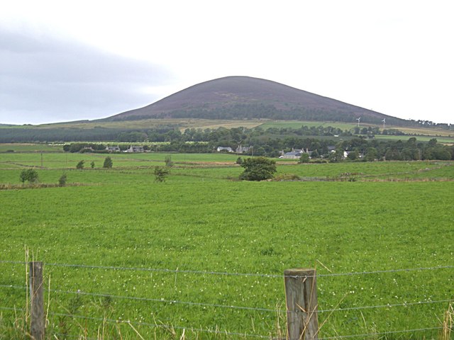
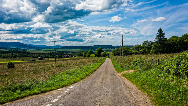
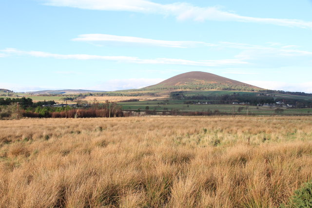
Surrounded by rolling hills and vast open fields, Ramsburn offers numerous opportunities for outdoor activities. Hiking enthusiasts can explore the nearby countryside, taking in breathtaking views of the Moray Firth and the rugged coastline. The area is also home to several nature reserves, providing habitats for a variety of wildlife.
Although Ramsburn itself is relatively small, it benefits from its proximity to larger towns. Residents have easy access to amenities and services in nearby Cullen and Portsoy, including shops, schools, and healthcare facilities.
For those interested in history and culture, the region offers several historic sites and landmarks. The nearby Cullen House, a grand mansion dating back to the 16th century, is a popular attraction. Additionally, the area hosts various local events and festivals throughout the year, celebrating the traditions and heritage of Banffshire.
Overall, Ramsburn offers a peaceful and idyllic lifestyle, surrounded by natural beauty and rich in history. It is a place where residents can enjoy the tranquility of rural living while remaining connected to nearby towns and amenities.
If you have any feedback on the listing, please let us know in the comments section below.
Ramsburn Images
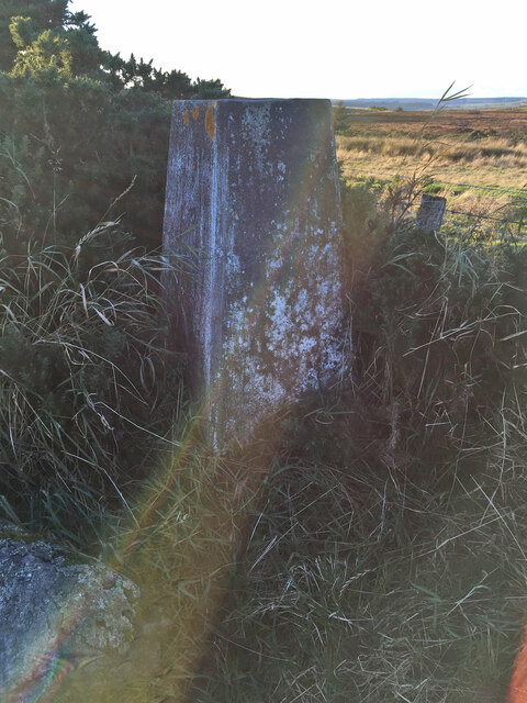
Images are sourced within 2km of 57.555945/-2.736948 or Grid Reference NJ5652. Thanks to Geograph Open Source API. All images are credited.


Ramsburn is located at Grid Ref: NJ5652 (Lat: 57.555945, Lng: -2.736948)
Unitary Authority: Moray
Police Authority: North East
What 3 Words
///eruptions.replays.lordship. Near Aberchirder, Aberdeenshire
Nearby Locations
Related Wikis
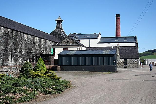
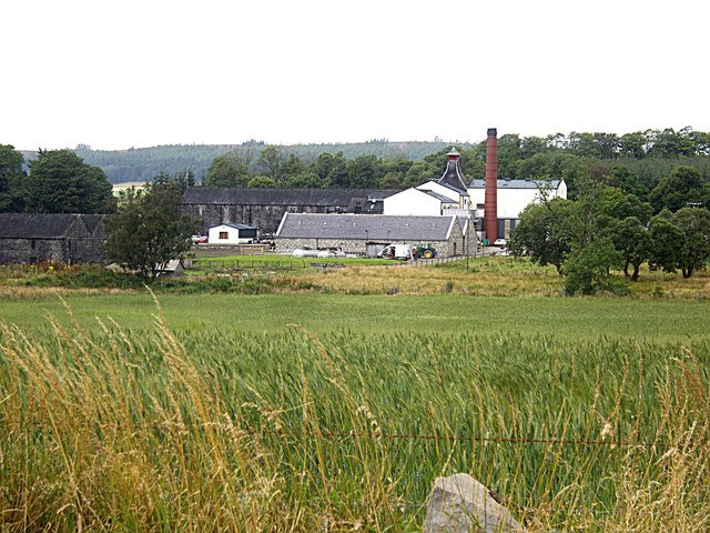
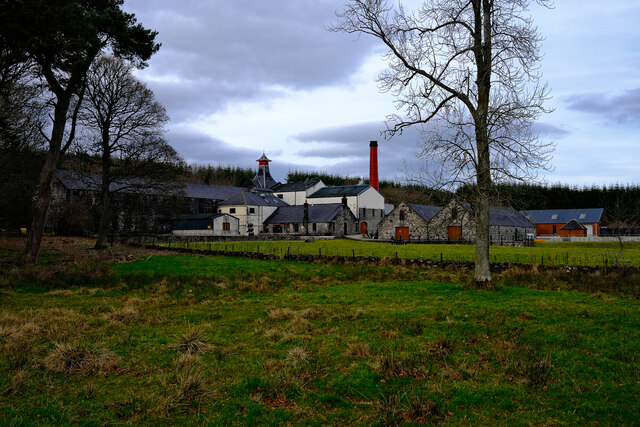
Knockdhu distillery
Knockdhu distillery is a whisky distillery situated in Knock, Banffshire and owned by Inver House Distillers Limited. == History == The distillery was...

Knock railway station (Scotland)
Knock railway station was an intermediate stop situated on the Great North of Scotland Railway (GNoSR) line from Grange and Cairnie Junction to Tillynaught...

Glenbarry railway station
Glenbarry railway station, previously known as Barry was an intermediate stop with a passing loop situated on the Great North of Scotland Railway (GNoSR...

Milltown of Rothiemay
Milltown of Rothiemay (Scottish Gaelic: Ràth a' Mhuigh) is a small inland village, built mostly of granite, in the north-east of Scotland and is within...

Millegin railway station
Millegin railway station, Millagan railway station or later Millegin Siding was briefly an intermediate stop situated on what became the Great North of...

River Isla, Moray
The River Isla (Scottish Gaelic: Uisge Ìle) is a tributary of the River Deveron in North-East Scotland. The area surrounding it is known as Strathisla...
Farmtown
Farmtown is a village in the Moray council area of Scotland. Farmtown lies on the junction of the A95 and B9117 roads east of the town of Keith.

Grange, Moray
Grange is a parish in the Scottish county of Banffshire that dates back to a royal charter granting the lands to the abbots and monks of Kinloss in 1196...
Related Videos
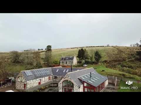
Scotland, Huntly
Short video from the House that I am staying in.
Nearby Amenities
Located within 500m of 57.555945,-2.736948Have you been to Ramsburn?
Leave your review of Ramsburn below (or comments, questions and feedback).