Whimberry Close Plantation
Wood, Forest in Lancashire
England
Whimberry Close Plantation

Whimberry Close Plantation is a picturesque woodland located in Lancashire, England. Spanning across a vast expanse, this enchanting forest is a haven for nature enthusiasts and those seeking tranquility amidst the beauty of the outdoors.
The plantation is primarily composed of dense woodlands, with towering trees creating a magical canopy that filters sunlight through the leaves, casting dappled shadows on the forest floor. The dominant species in this area are the whimsical whimberry trees, known for their distinctive twisted trunks and vibrant red berries, which give the plantation its name.
This woodland is home to a rich variety of flora and fauna. Amongst the undergrowth, one can find an abundance of wildflowers, including bluebells, primroses, and wood anemones, creating a vibrant tapestry of colors during the spring months. The forest floor also hosts a diverse range of mosses, ferns, and fungi, adding to the enchanting atmosphere of the plantation.
The woodland of Whimberry Close Plantation is not only visually stunning but also provides a habitat for numerous wildlife species. Visitors may catch a glimpse of red squirrels, roe deer, and a wide array of bird species, including woodpeckers, owls, and thrushes. The tranquil ambience of the forest is often punctuated by the melodious songs of these feathered inhabitants.
Whimberry Close Plantation offers a range of recreational activities to visitors, such as walking trails, birdwatching, and nature photography. The well-maintained paths and picnic areas make it an ideal spot for families to enjoy a day out in nature. This woodland treasure in Lancashire is truly a sanctuary for both nature lovers and those seeking solace in the midst of the great outdoors.
If you have any feedback on the listing, please let us know in the comments section below.
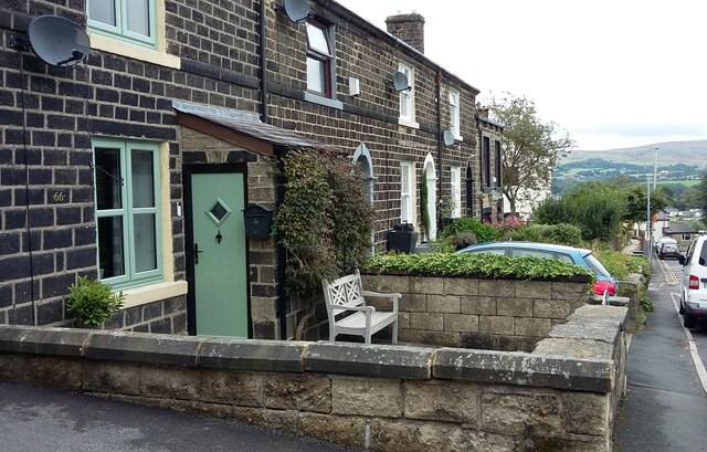
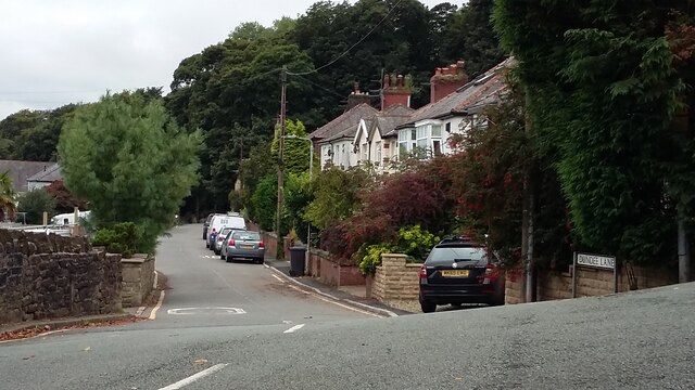
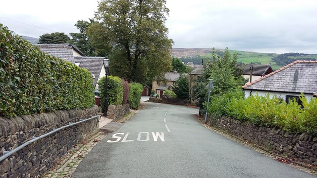
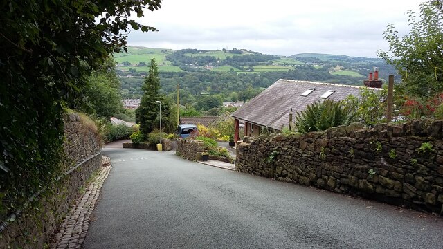
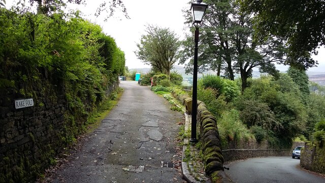
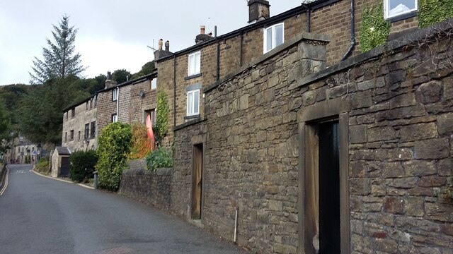
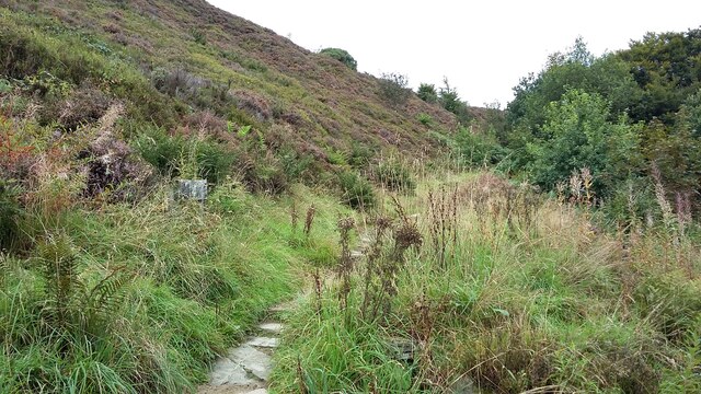
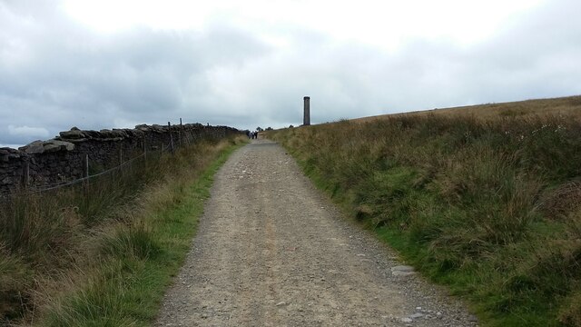
Whimberry Close Plantation Images
Images are sourced within 2km of 53.645531/-2.3338452 or Grid Reference SD7816. Thanks to Geograph Open Source API. All images are credited.

![239 metre spot height, Holcombe At the junction of Chapel Lane and Helmshore Road [B6214], in the centre of the village.](https://s0.geograph.org.uk/geophotos/06/96/36/6963668_61ef1950.jpg)

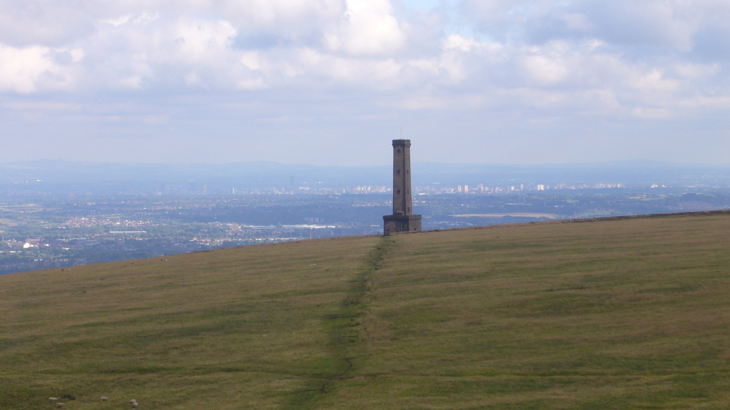
![Peel Monument, Holcombe Hill, from the south The monument commemorates the politician Sir Robert Peel [1788-1850] who was born in Bury. It was built from local stone and completed in 1852.](https://s2.geograph.org.uk/geophotos/06/96/36/6963690_36097a4c.jpg)

Whimberry Close Plantation is located at Grid Ref: SD7816 (Lat: 53.645531, Lng: -2.3338452)
Unitary Authority: Bury
Police Authority: Greater Manchester
What 3 Words
///autumn.confetti.vineyard. Near Ramsbottom, Manchester
Nearby Locations
Related Wikis

Peel Monument
See peel tower for the generic structureThe memorial tower to Sir Robert Peel, high above Ramsbottom was planned and erected at the same time as Bury was...
Holcombe, Greater Manchester
Holcombe is a village in Ramsbottom ward, Metropolitan Borough of Bury, in Greater Manchester, England. It is situated south of Haslingden, east of Edgworth...

Darul Uloom Bury
Darul Uloom Al Arabiya Al Islamiyya (Arabic: دار العلوم العربية الإسلامية), better known as Darul Uloom Bury, was established in 1979 and is the oldest...

Ramsbottom
Ramsbottom is a market town in the Metropolitan Borough of Bury, Greater Manchester, England. The population at the 2011 census was 17,872.Historically...
Woodhey High School
Woodhey High School is a coeducational secondary school in Ramsbottom, in the Metropolitan Borough of Bury, Greater Manchester, England.Woodhey High School...
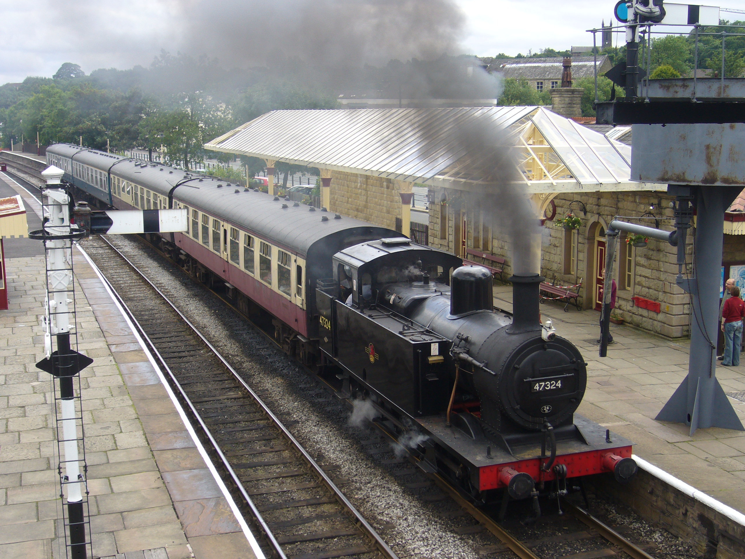
Ramsbottom railway station
Ramsbottom railway station is a heritage station serving the town of Ramsbottom in Greater Manchester, England. == History == The station was built by...
Ramsbottom United F.C.
Ramsbottom United Football Club are an English football club based in Ramsbottom, Greater Manchester. Nicknamed "The Rams", they currently compete in the...
Holcombe Brook railway station
Holcombe Brook railway station was the terminus of the Bury to Holcombe Brook Line in England and served the village of Holcombe Brook in the Metropolitan...
Nearby Amenities
Located within 500m of 53.645531,-2.3338452Have you been to Whimberry Close Plantation?
Leave your review of Whimberry Close Plantation below (or comments, questions and feedback).