Muscovy Wood
Wood, Forest in Gloucestershire Cotswold
England
Muscovy Wood

Muscovy Wood is a picturesque forest located in the county of Gloucestershire, England. Spanning an area of approximately 100 acres, it is a prominent natural landmark in the region, attracting locals and tourists alike. The wood can be found near the village of Muscovy, nestled between rolling hills and meandering streams.
The forest is predominantly composed of deciduous trees, with a variety of species including oak, beech, and ash. The lush green foliage provides a stunning backdrop throughout the year, with vibrant colors in the autumn and a serene atmosphere in the spring and summer. The wood is home to an array of wildlife, including deer, foxes, and a wide range of bird species, making it a popular spot for nature enthusiasts and birdwatchers.
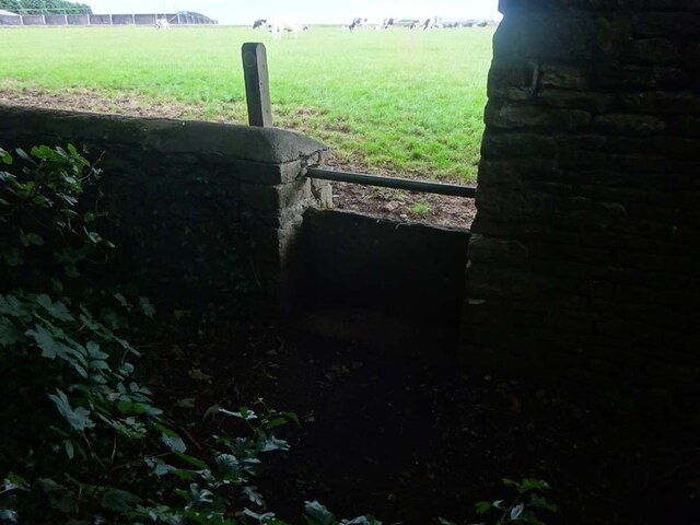
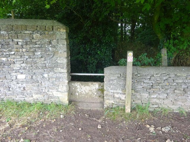
Muscovy Wood offers numerous walking trails and paths, catering to visitors of all ages and fitness levels. These trails lead through dense woodlands, tranquil clearings, and alongside the babbling brooks that traverse the area. The forest also features a designated picnic area, allowing visitors to take a break and enjoy a meal amidst the natural beauty.
The wood has a rich history, dating back centuries. It is believed to have been a hunting ground for nobility in medieval times, and remnants of ancient structures can still be found within its boundaries. Muscovy Wood has also been a source of timber for local communities throughout the years, with sustainable forestry practices in place to maintain its ecological balance.
Overall, Muscovy Wood offers a captivating blend of natural beauty, recreational opportunities, and historical significance, making it a cherished destination for those seeking a peaceful retreat in the heart of Gloucestershire.
If you have any feedback on the listing, please let us know in the comments section below.
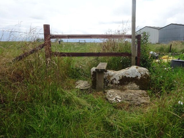
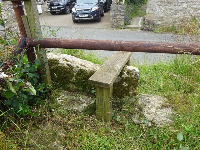
Muscovy Wood Images
Images are sourced within 2km of 51.631094/-2.3188552 or Grid Reference ST7892. Thanks to Geograph Open Source API. All images are credited.


Muscovy Wood is located at Grid Ref: ST7892 (Lat: 51.631094, Lng: -2.3188552)
Administrative County: Gloucestershire
District: Cotswold
Police Authority: Gloucestershire
What 3 Words
///caused.comforted.raft. Near Wotton-under-Edge, Gloucestershire
Nearby Locations
Related Wikis
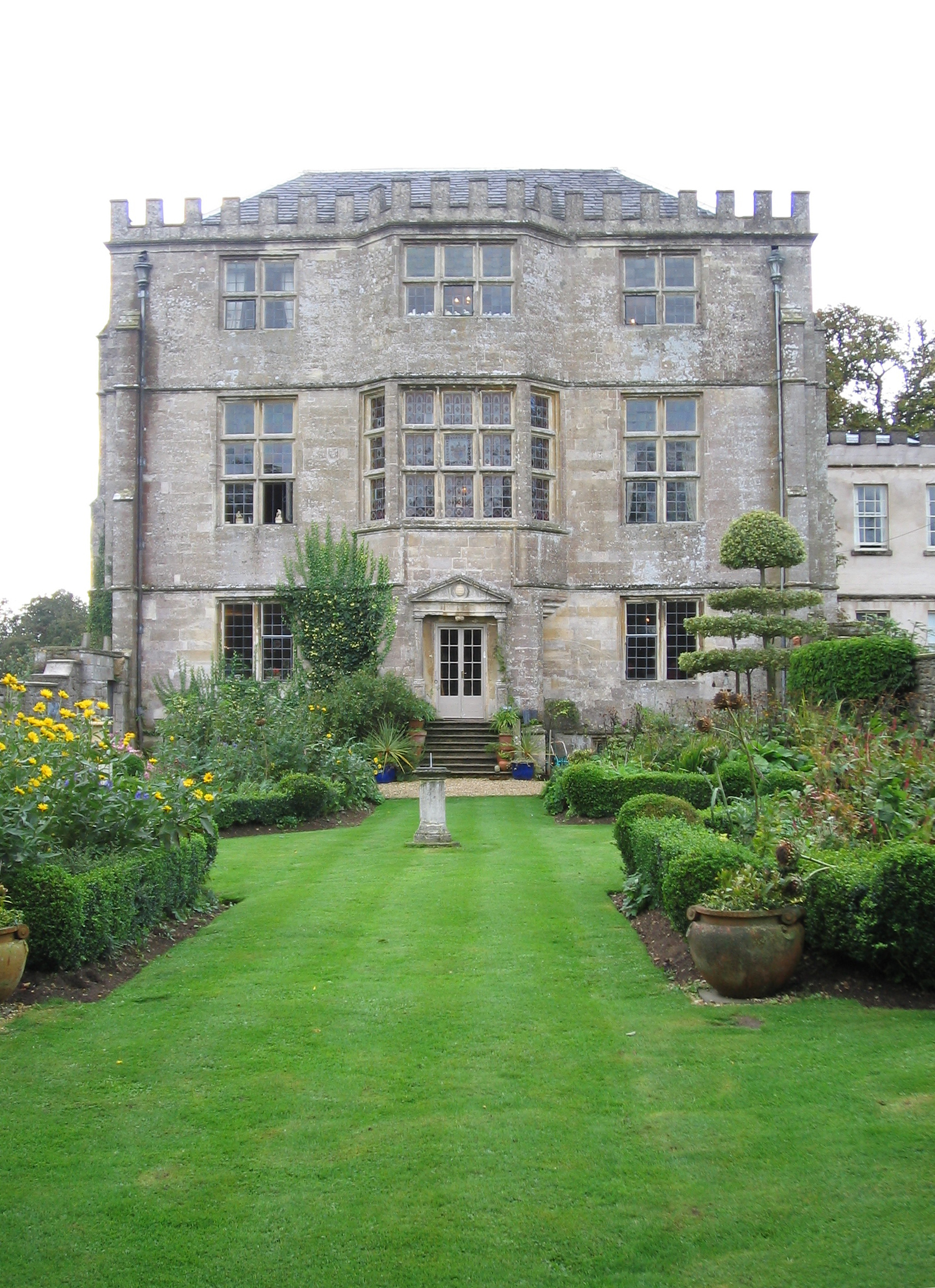
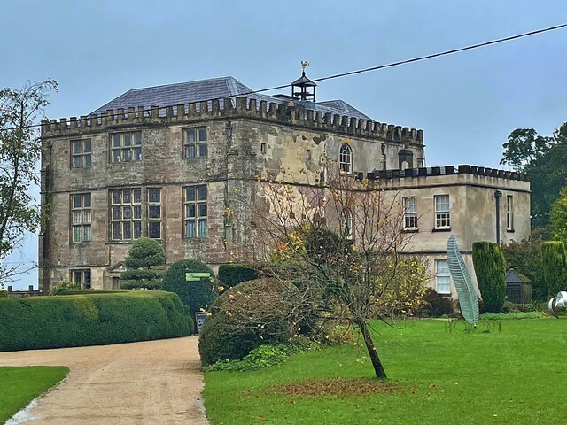
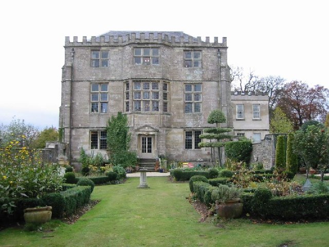
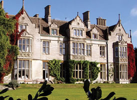
Newark Park
Newark Park is a Grade I listed country house of Tudor origins located near the village of Ozleworth, Wotton-under-Edge, Gloucestershire. The house sits...

Ozleworth
Ozleworth is a village and civil parish in Gloucestershire, England, approximately 30 km (19 mi) south of Gloucester. It lies in the Cotswolds, an Area...

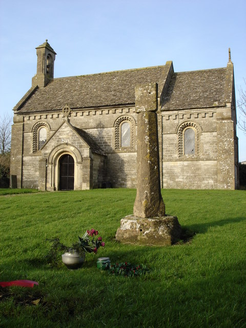
St Nicholas of Myra's Church, Ozleworth
St Nicholas of Myra's Church is a redundant Anglican church in the village of Ozleworth, Gloucestershire, England, in the care of The Churches Conservation...
Tresham
Tresham is a village in Gloucestershire, England. It was transferred back from the county of Avon in 1991, having been in Gloucestershire before 1972....

Coombe, Gloucestershire
Coombe is a settlement in the English county of Gloucestershire. It is adjacent to the town of Wotton-under-Edge. The town name can also be found spelled...
Alderley, Gloucestershire
Alderley (also previously known as Alderleigh) is a village and civil parish in the Stroud district of Gloucestershire, England, about fourteen miles southwest...
Hillesley and Tresham
Hillesley and Tresham is a civil parish in the Stroud District of Gloucestershire, England. It had a population of 591 according to the 2001 census, decreasing...
Rose Hill School, Alderley
Rose Hill School was a co-educational, boarding and day, Pre-preparatory and Preparatory School for children aged 2–14 years old. It was situated in Cotswold...
Nearby Amenities
Located within 500m of 51.631094,-2.3188552Have you been to Muscovy Wood?
Leave your review of Muscovy Wood below (or comments, questions and feedback).