Barnhill Covert
Wood, Forest in Gloucestershire Cotswold
England
Barnhill Covert

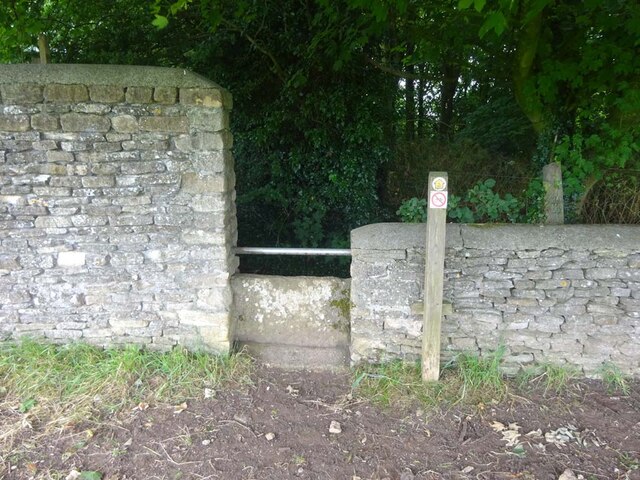
Barnhill Covert, located in Gloucestershire, is a captivating woodland area known for its stunning natural beauty and serene atmosphere. Situated in the heart of the Forest of Dean, this ancient woodland covers an expansive area, providing a haven for wildlife and a peaceful retreat for visitors.
The woodland is predominantly composed of native broadleaf trees, including oak, beech, and birch, which create a dense canopy overhead. This lush vegetation not only adds to the area's aesthetic appeal but also provides a vital habitat for a diverse range of flora and fauna.
Barnhill Covert is home to an array of wildlife, including various bird species, such as woodpeckers, owls, and buzzards. The woodland floor is also teeming with life, with a multitude of woodland plants, wildflowers, and fungi, adding bursts of color and interest throughout the seasons.
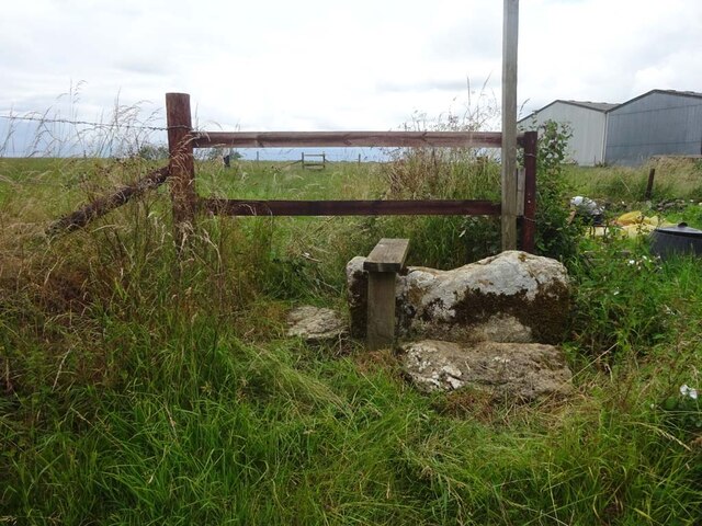
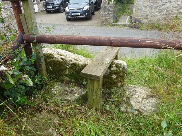
Visitors to Barnhill Covert can explore its network of walking trails, which wind through the woodland, offering a chance to immerse oneself in nature and discover hidden gems along the way. The peaceful atmosphere and tranquil surroundings make it an ideal spot for nature lovers, photographers, and those seeking a peaceful escape from the hustle and bustle of daily life.
The woodland is managed by local conservation organizations, who work to preserve its natural beauty and protect the delicate ecosystem. With its breathtaking scenery and abundant wildlife, Barnhill Covert is a true gem within the Gloucestershire landscape, providing a haven for nature enthusiasts and a valuable resource for the local community.
If you have any feedback on the listing, please let us know in the comments section below.
Barnhill Covert Images
Images are sourced within 2km of 51.632949/-2.310965 or Grid Reference ST7892. Thanks to Geograph Open Source API. All images are credited.


Barnhill Covert is located at Grid Ref: ST7892 (Lat: 51.632949, Lng: -2.310965)
Administrative County: Gloucestershire
District: Cotswold
Police Authority: Gloucestershire
What 3 Words
///fatherly.smashes.lobby. Near Wotton-under-Edge, Gloucestershire
Nearby Locations
Related Wikis
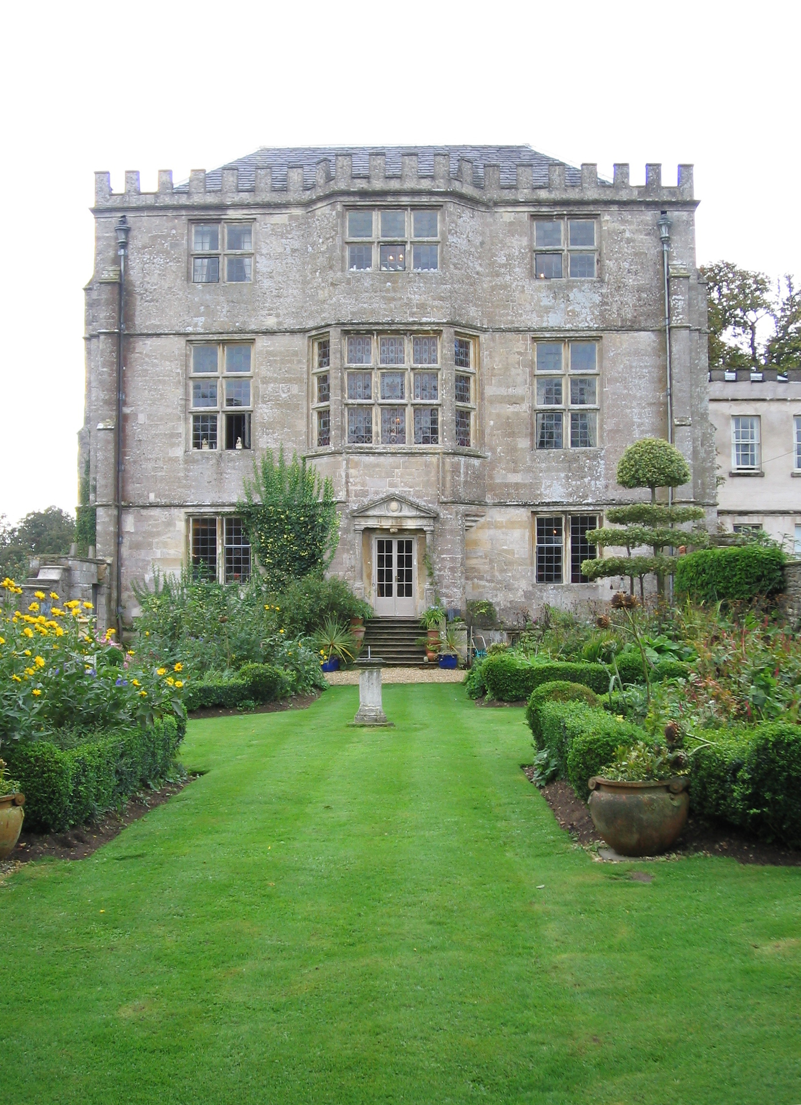
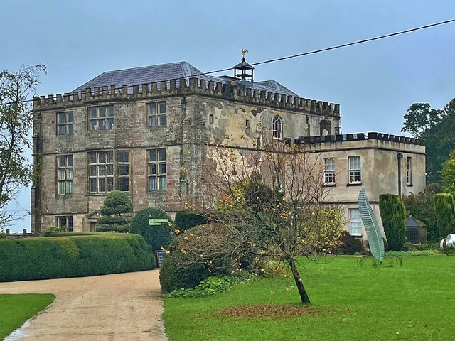
Newark Park
Newark Park is a Grade I listed country house of Tudor origins located near the village of Ozleworth, Wotton-under-Edge, Gloucestershire. The house sits...

Ozleworth
Ozleworth is a village and civil parish in Gloucestershire, England, approximately 30 km (19 mi) south of Gloucester. It lies in the Cotswolds, an Area...

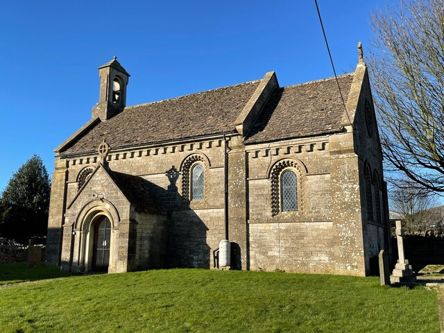
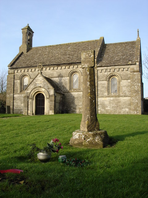
St Nicholas of Myra's Church, Ozleworth
St Nicholas of Myra's Church is a redundant Anglican church in the village of Ozleworth, Gloucestershire, England, in the care of The Churches Conservation...
Tresham
Tresham is a village in Gloucestershire, England. It was transferred back from the county of Avon in 1991, having been in Gloucestershire before 1972....

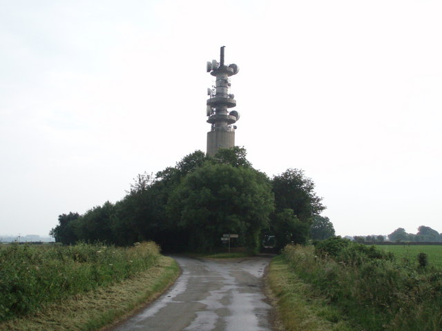
Wotton-under-Edge BT Tower
Wotton-under-Edge Tower is a 76.2 metres ( 250 ft) tall telecommunication tower built of reinforced concrete at Wotton-under-Edge in Gloucestershire, UK...

Coombe, Gloucestershire
Coombe is a settlement in the English county of Gloucestershire. It is adjacent to the town of Wotton-under-Edge. The town name can also be found spelled...
Hillesley and Tresham
Hillesley and Tresham is a civil parish in the Stroud District of Gloucestershire, England. It had a population of 591 according to the 2001 census, decreasing...
Alderley, Gloucestershire
Alderley (also previously known as Alderleigh) is a village and civil parish in the Stroud district of Gloucestershire, England, about fourteen miles southwest...
Nearby Amenities
Located within 500m of 51.632949,-2.310965Have you been to Barnhill Covert?
Leave your review of Barnhill Covert below (or comments, questions and feedback).