Botany Bay Coppice
Wood, Forest in Worcestershire Wyre Forest
England
Botany Bay Coppice
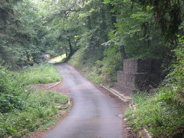
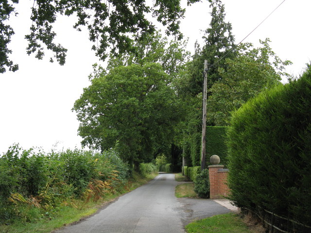
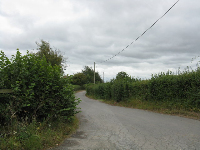
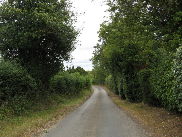
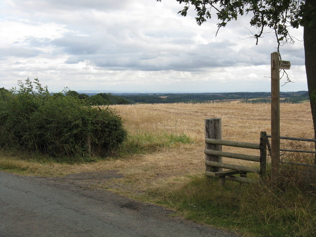
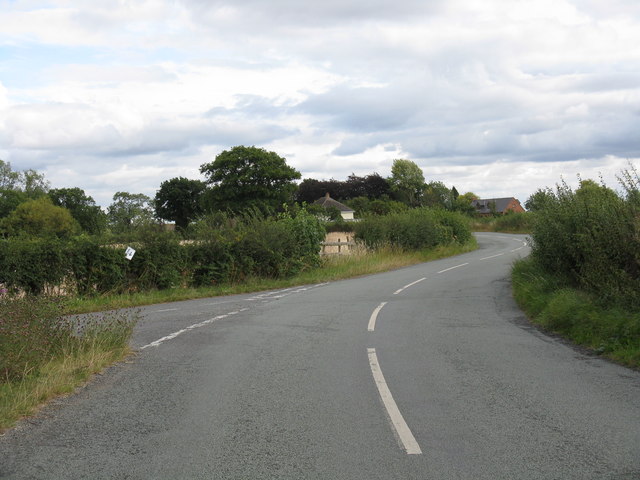
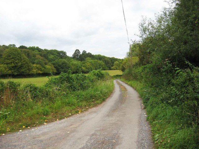
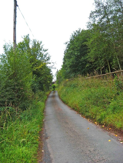
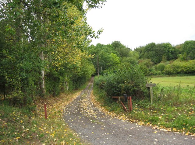
Botany Bay Coppice is a picturesque woodland area located in Worcestershire, England. Spanning approximately 20 acres, this charming forest is nestled within the larger Clent Hills range, offering visitors a tranquil escape from the hustle and bustle of everyday life.
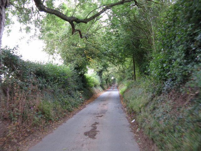
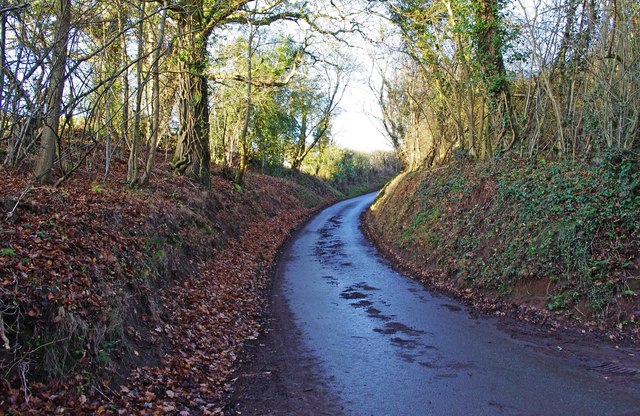
The coppice is primarily composed of broadleaf trees, including oak, birch, and beech, creating a diverse and vibrant ecosystem. The dense canopy provides a cool and shaded environment during the summer months, making it a popular destination for nature lovers and hikers alike.
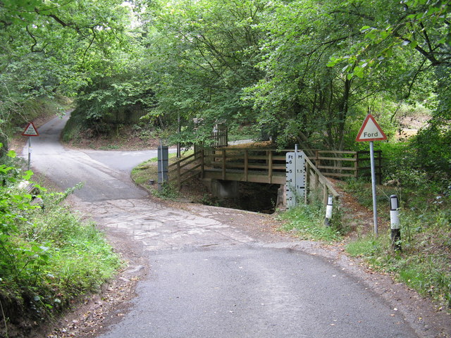
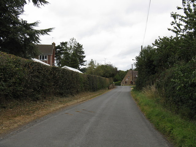
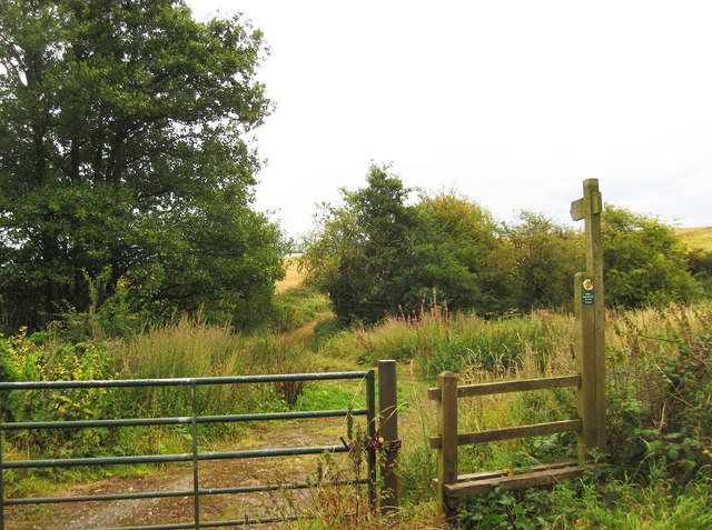
The forest floor is adorned with a rich carpet of wildflowers, ferns, and mosses, adding to the area's natural beauty. Several walking trails wind through the coppice, allowing visitors to explore its enchanting surroundings while taking in breathtaking views of the Worcestershire countryside.
Botany Bay Coppice is also home to a variety of wildlife species. Birdwatchers can catch glimpses of woodland birds such as woodpeckers, tits, and finches, while lucky visitors may even spot deer, foxes, and rabbits. Nature enthusiasts can enjoy the peaceful ambiance of the woodland, immersing themselves in the sights and sounds of the natural world.
The coppice is maintained by local conservation groups, who work tirelessly to preserve its ecological integrity and protect its delicate ecosystem. They organize regular educational events and guided tours, providing an opportunity for visitors to learn more about the unique flora and fauna that call this woodland home.
Overall, Botany Bay Coppice offers a haven of tranquility and natural beauty in the heart of Worcestershire, making it a must-visit destination for those seeking a peaceful retreat in a stunning woodland setting.
If you have any feedback on the listing, please let us know in the comments section below.
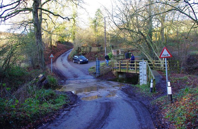
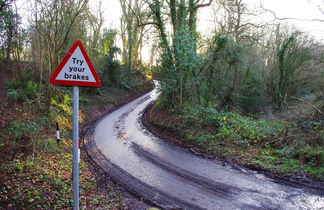
Botany Bay Coppice Images
Images are sourced within 2km of 52.345569/-2.31593 or Grid Reference SO7871. Thanks to Geograph Open Source API. All images are credited.
Botany Bay Coppice is located at Grid Ref: SO7871 (Lat: 52.345569, Lng: -2.31593)
Administrative County: Worcestershire
District: Wyre Forest
Police Authority: West Mercia
What 3 Words
///newsreel.happy.befitting. Near Stourport-on-Severn, Worcestershire
Nearby Locations
Related Wikis

Bewdley Town F.C.
Bewdley Town Football Club is a football club based in Bewdley, Worcestershire, England. They are currently members of the Midland League Premier Division...

Ribbesford
Ribbesford is a village and civil parish in the Wyre Forest District of Worcestershire, England. At the 2001 census it had a population of 237.Notable...
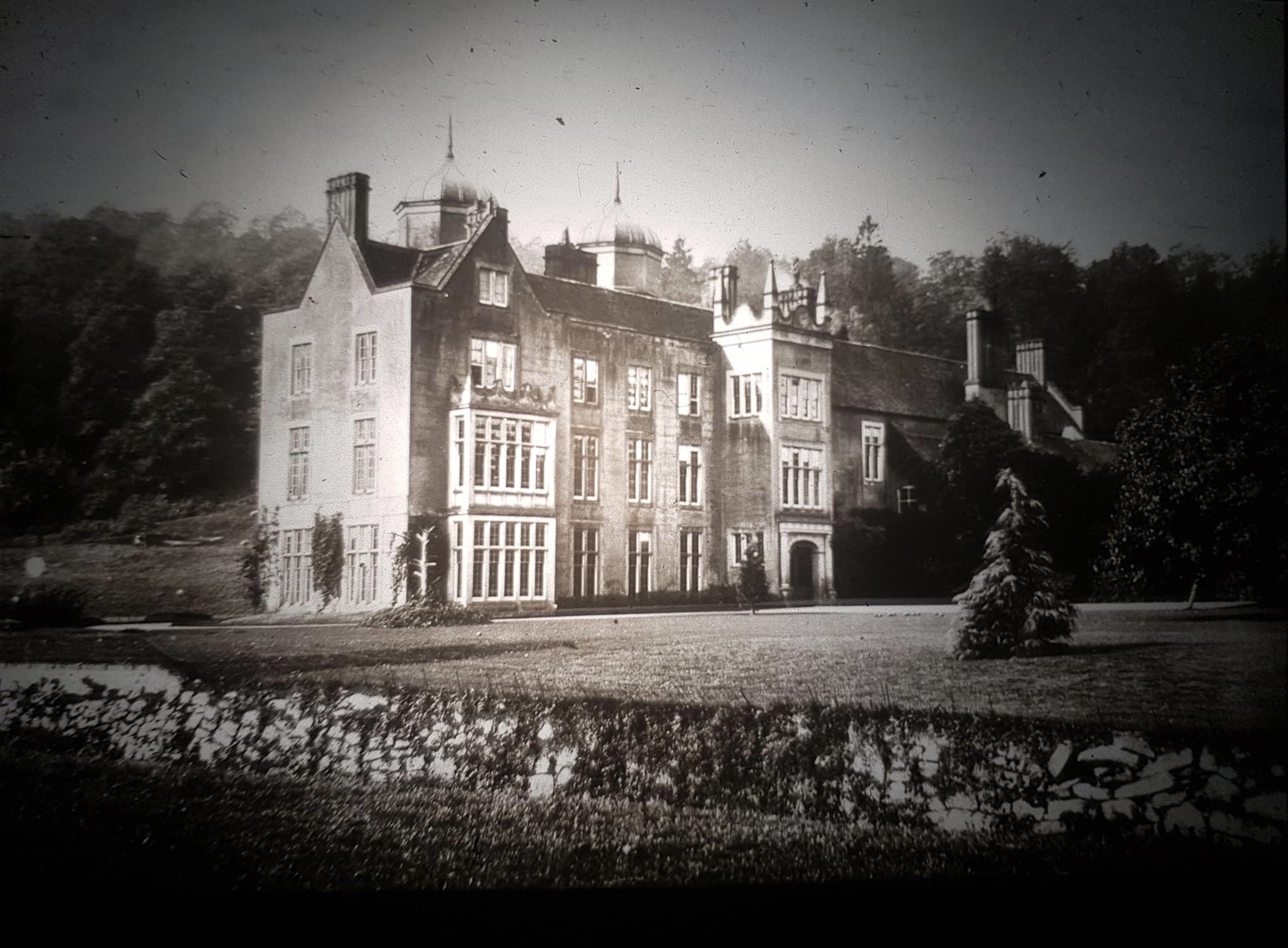
Ribbesford House
Ribbesford House is a historic English mansion in Ribbesford, near Bewdley, Worcestershire. The house and its surrounding estate have a history dating...

Heightington
Heightington is a small village in Worcestershire, England. It lies a little to the south-west of Bewdley and a little to the west of Stourport-on-Severn...
Areley Hall
Areley Hall is a Grade II listed country house near Areley Kings in Stourport-on-Severn, Worcestershire, England. It is not to be confused with nearby...

Burlish Halt railway station
Burlish Halt railway station was a station on the Severn Valley Railway in Stourport-on-Severn, Worcestershire, England. The halt opened on 31 March 1930...

Areley Kings
Areley Kings is a village on the River Severn in the Wyre District of Worcestershire, England. It is 10 miles north of Worcester and south of Stourport...

Stourport Boat Club
Stourport Boat Club is a rowing club on the River Severn, based at the Riverside, Dunley Road, Stourport-on-Severn, Worcestershire. == History == The club...
Nearby Amenities
Located within 500m of 52.345569,-2.31593Have you been to Botany Bay Coppice?
Leave your review of Botany Bay Coppice below (or comments, questions and feedback).