Areley Wood

Wood, Forest in Worcestershire Malvern Hills

England

Areley Wood

Breathtaking Quite a view from Hurtle Hill.
Breathtaking Credit: Ian Paterson

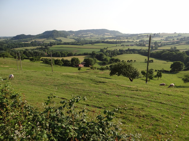
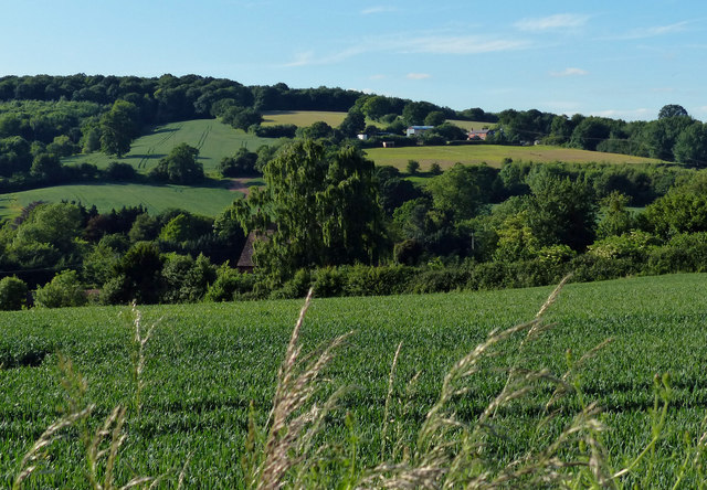
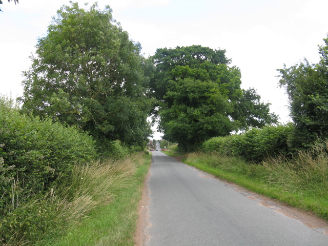
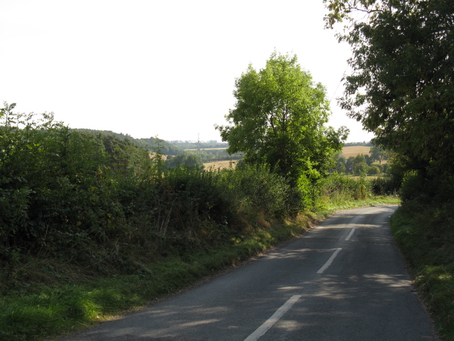
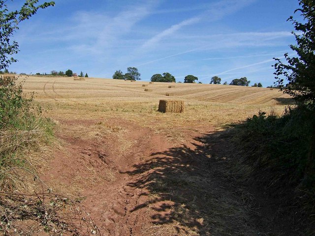
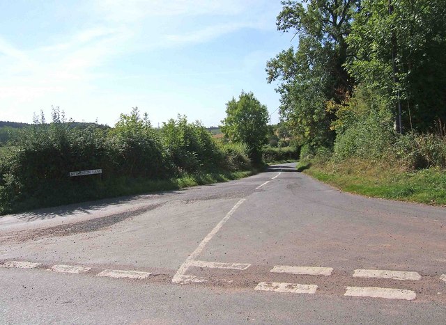
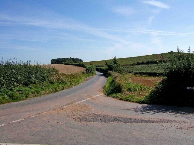
Areley Wood is a picturesque woodland area located in the county of Worcestershire, England. This ancient woodland covers an area of approximately 50 acres and is renowned for its natural beauty, diverse wildlife, and tranquil atmosphere. It is situated close to the village of Stourport-on-Severn, making it easily accessible for visitors.

The woodland consists mainly of broadleaf trees, including oak, ash, and beech, which create a dense canopy overhead, providing shade and shelter. The forest floor is adorned with a carpet of bluebells during springtime, creating a stunning display of vibrant colors. The wood is also home to a variety of plant species, such as wild garlic, wood sorrel, and primroses.

Areley Wood is a haven for wildlife enthusiasts, as it is home to a wide range of animals and birds. Visitors can spot species such as deer, badgers, foxes, and numerous species of birds, including woodpeckers, owls, and nuthatches. The wood has several walking trails and footpaths, allowing visitors to explore the area and enjoy the peaceful surroundings.

The wood has historical significance as well, with evidence of human activity dating back centuries. Ancient earthworks and remnants of old settlements can still be found within the woodland, providing a glimpse into the area's past.

Overall, Areley Wood is a cherished natural treasure in Worcestershire, offering a serene escape from the bustling modern world. With its diverse flora and fauna, rich history, and tranquil ambiance, it is a must-visit destination for nature lovers and those seeking a peaceful retreat.

If you have any feedback on the listing, please let us know in the comments section below.
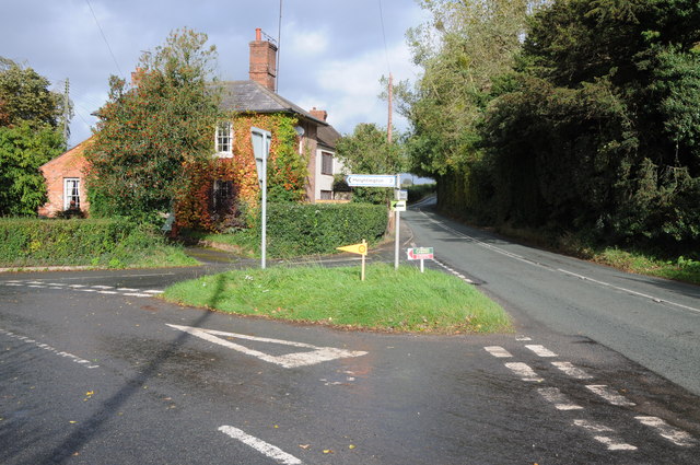
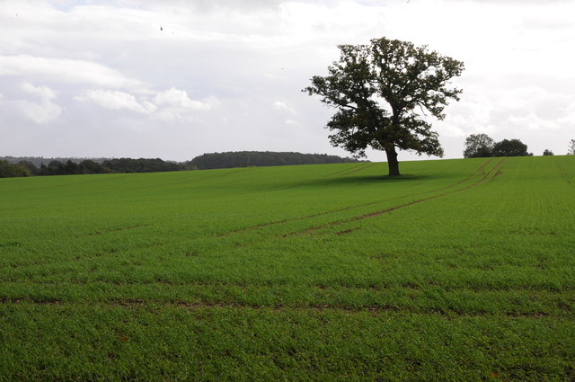
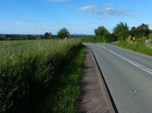
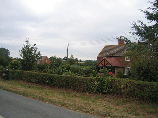
Areley Wood Images

Images are sourced within 2km of 52.33813/-2.3108574 or Grid Reference SO7871. Thanks to Geograph Open Source API. All images are credited.

Breathtaking Quite a view from Hurtle Hill.
Breathtaking
Quite a view from Hurtle Hill.
Road junction in Dunley House on the corner by a road junction in Dunley.
Road junction in Dunley
House on the corner by a road junction in Dunley.
Oak tree in an arable field Oak tree in an arable field between Astely Cross and Dunley.
Oak tree in an arable field
Oak tree in an arable field between Astely Cross and Dunley.
Dunley Road towards Areley Kings
View north towards Areley Wood
New Barns Farm The old farmhouse is on the right and the barns, now converted into <a href="https://www.geograph.org.uk/photo/218662">SO7969 : The Steadings</a> can be seen in the distance.  Behind the photographer the urban development of <a href="https://www.geograph.org.uk/photo/218636">SO7969 : Edge of Areley Kings</a> and Stourport and then much of the West Midlands commences.
New Barns Farm
The old farmhouse is on the right and the barns, now converted into SO7969 : The Steadings can be seen in the distance. Behind the photographer the urban development of SO7969 : Edge of Areley Kings and Stourport and then much of the West Midlands commences.
Edge of Areley Kings Looking the other way from <a href="https://www.geograph.org.uk/photo/218563">SO7969 : New Barns Farm</a> towards the edge of the Areley Kings area of Stourport.
Edge of Areley Kings
Looking the other way from SO7969 : New Barns Farm towards the edge of the Areley Kings area of Stourport.
The Steadings The converted barns at New Barns Farm on the edge of Stourport-on-Severn. These are the barns just visible from near <a href="https://www.geograph.org.uk/photo/218563">SO7969 : New Barns Farm</a> farmhouse.
The Steadings
The converted barns at New Barns Farm on the edge of Stourport-on-Severn. These are the barns just visible from near SO7969 : New Barns Farm farmhouse.
Heightington Lane junction, Dunley
Straight Lane To Astley Cross
Netherton Road
Netherton Road
Field opposite Netherton Lane According to the Ordnance Survey Explorer map there is a public footpath on the right hand side of this view, but it wasn't noticeable on the ground nor was there any footpath sign.
Field opposite Netherton Lane
According to the Ordnance Survey Explorer map there is a public footpath on the right hand side of this view, but it wasn't noticeable on the ground nor was there any footpath sign.
Netherton Lane At least two online maps show this as Netherton Road, but the street sign clearly states Netherton Lane.
Netherton Lane
At least two online maps show this as Netherton Road, but the street sign clearly states Netherton Lane.
Heightington Lane Looking in the direction of Dunley, where the road joins the A451.
Heightington Lane
Looking in the direction of Dunley, where the road joins the A451.
Dunley Road Ahead this part of the road is known as Dunley Road. It goes to Heightington and Bliss Gate.
Dunley Road
Ahead this part of the road is known as Dunley Road. It goes to Heightington and Bliss Gate.
Which goes where? It's commonsense really:-

Dunley Road goes to Heightington <a href="https://www.geograph.org.uk/photo/1485863">SO7869 : Dunley Road</a>

Heightington Lane goes to Dunley <a href="https://www.geograph.org.uk/photo/1485841">SO7869 : Heightington Lane</a>

which leaves Netherton Lane (or Netherton Road if you prefer) which may well get you to Netherton, but it's signposted Abberley <a href="https://www.geograph.org.uk/photo/1485826">SO7869 : Netherton Lane</a>
Which goes where?
It's commonsense really:- Dunley Road goes to Heightington SO7869 : Dunley Road Heightington Lane goes to Dunley SO7869 : Heightington Lane which leaves Netherton Lane (or Netherton Road if you prefer) which may well get you to Netherton, but it's signposted Abberley SO7869 : Netherton Lane
Areley Kings Methodist Church This tin tabernacle is on the NE corner of Astley Cross on the southern edge of what is now the Areley Kings area of Stourport.  At one time Areley Kings would have been a significant village in its own right.

This church is situated diagonally opposite <a href="https://www.geograph.org.uk/photo/218686">SO8069 : The Astley Cross Inn</a> at this crossroads.
Areley Kings Methodist Church
This tin tabernacle is on the NE corner of Astley Cross on the southern edge of what is now the Areley Kings area of Stourport. At one time Areley Kings would have been a significant village in its own right. This church is situated diagonally opposite SO8069 : The Astley Cross Inn at this crossroads.
The Astley Cross Inn I'm not sure whether the builder had been imbibing when this pub was built or whether is as a result of subsequent subsidence that nothing appears to be quite perpendicular or at right angles on this building.  It's certainly not my camera!

This pub is situated on the opposite corner of Astley Cross to <a href="https://www.geograph.org.uk/photo/218568">SO8069 : Areley Kings Methodist Church</a>.
The Astley Cross Inn
I'm not sure whether the builder had been imbibing when this pub was built or whether is as a result of subsequent subsidence that nothing appears to be quite perpendicular or at right angles on this building. It's certainly not my camera! This pub is situated on the opposite corner of Astley Cross to SO8069 : Areley Kings Methodist Church.
Show me another place!

Areley Wood is located at Grid Ref: SO7871 (Lat: 52.33813, Lng: -2.3108574)

Administrative County: Worcestershire

District: Malvern Hills

Police Authority: West Mercia

What 3 Words

///swooned.daytime.canyons. Near Stourport-on-Severn, Worcestershire
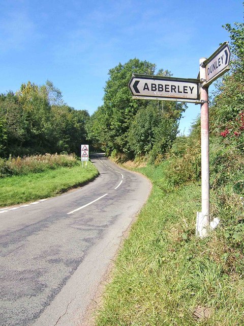
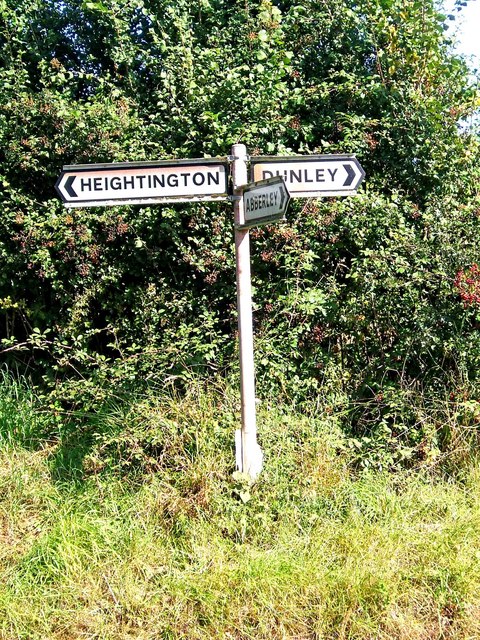
Related Wikis

Areley Kings

Areley Kings is a village on the River Severn in the Wyre District of Worcestershire, England. It is 10 miles north of Worcester and south of Stourport...

Areley Hall

Areley Hall is a Grade II listed country house near Areley Kings in Stourport-on-Severn, Worcestershire, England. It is not to be confused with nearby...

Bewdley Town F.C.

Bewdley Town Football Club is a football club based in Bewdley, Worcestershire, England. They are currently members of the Midland League Premier Division...

Stourport Boat Club

Stourport Boat Club is a rowing club on the River Severn, based at the Riverside, Dunley Road, Stourport-on-Severn, Worcestershire. == History == The club...
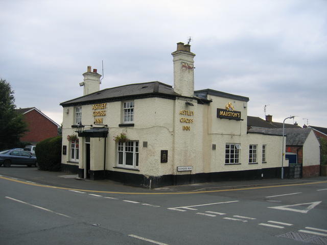
Astley Cross

Astley Cross is a village in Worcestershire, England, located on the outskirts of Stourport-on-Severn. The village lies 1 mile (1.6 km) south of the centre...

Dunley, Worcestershire

Dunley is a village, and a civil parish (with Astley), in the administrative district of Malvern Hills in the county of Worcestershire, England. ��2�...

Heightington

Heightington is a small village in Worcestershire, England. It lies a little to the south-west of Bewdley and a little to the west of Stourport-on-Severn...

Stourport Swifts F.C.

Stourport Swifts Football Club are a football team from Stourport-on-Severn, and one of the oldest non-league teams in the country. The Swifts currently...

Nearby Amenities

Located within 500m of 52.33813,-2.3108574
Barrier: stile
Foot: yes
Lat/Long: 52.3402374/-2.3159689
The data included in this document is from www.openstreetmap.org. The data is made available under ODbL.

Have you been to Areley Wood?

Leave your review of Areley Wood below (or comments, questions and feedback).