Scarr Wood

Wood, Forest in Gloucestershire Stroud

England

Scarr Wood

Same gate, different sign, similar meaning Following up my last visit exactly five years ago see <a href="https://www.geograph.org.uk/photo/2213364">SO7816 : Bull in field?</a>.
Same gate, different sign, similar meaning Credit: Jonathan Billinger

Scarr Wood is a picturesque forest located in Gloucestershire, England. Covering an area of approximately 100 acres, it is a notable natural attraction in the region. The wood is predominantly composed of ancient oak trees, which lend a sense of grandeur and history to the landscape.

The forest is known for its diverse flora and fauna, providing a habitat for a wide range of wildlife species. Visitors to Scarr Wood can expect to encounter various birds, such as woodpeckers, thrushes, and owls, along with small mammals like squirrels and rabbits. The presence of these creatures adds to the enchanting ambiance of the wood.

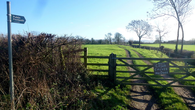
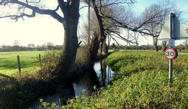
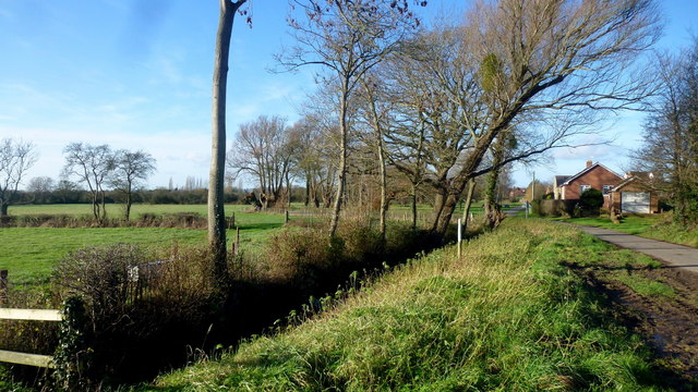
Walking trails meander through Scarr Wood, allowing visitors to explore its beauty at their own pace. These paths take visitors through moss-covered glades, under the canopy of towering trees, and past bubbling streams. The wood offers a peaceful and serene environment, making it an ideal place for nature lovers to escape the hustle and bustle of daily life.

Scarr Wood is open to the public year-round and offers a range of activities for visitors to enjoy. From leisurely walks and picnics to bird watching and photography, there is something for everyone to appreciate. The changing seasons bring unique colors to the wood, with vibrant autumn foliage and delicate wildflowers in the spring.

Overall, Scarr Wood in Gloucestershire is a captivating destination for those seeking tranquility and a connection with nature. Its ancient oaks, abundant wildlife, and serene atmosphere make it a true gem in the heart of the English countryside.

If you have any feedback on the listing, please let us know in the comments section below.
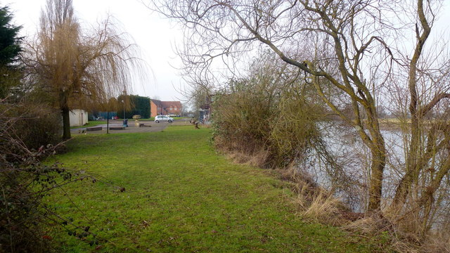
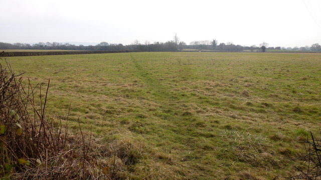
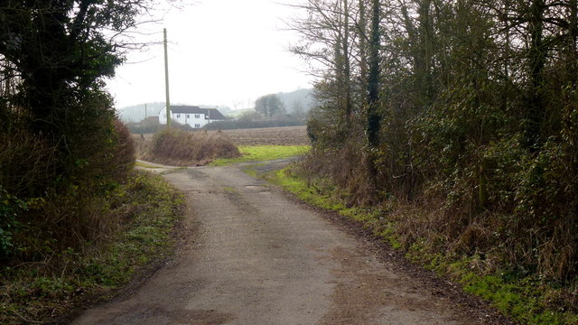
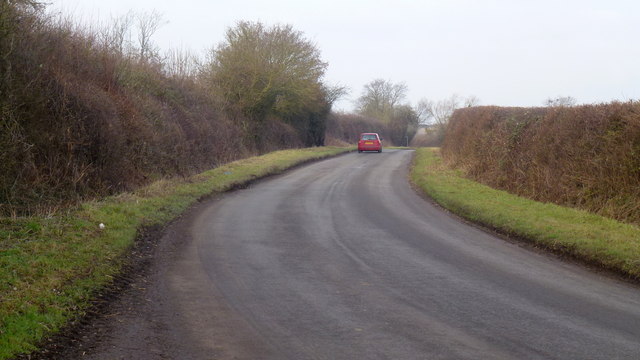
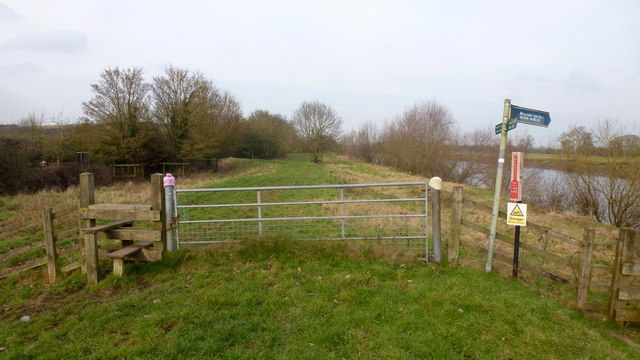
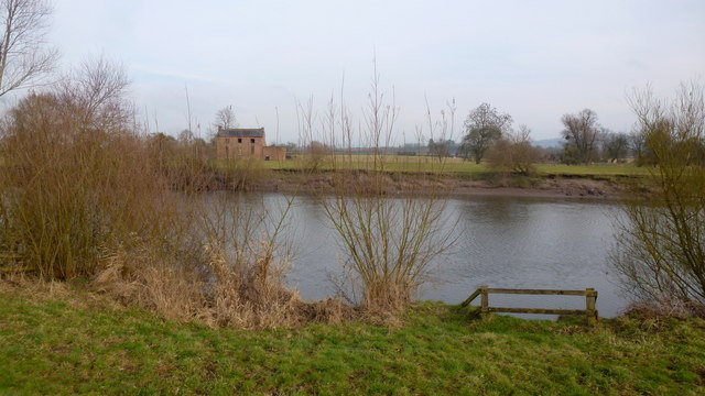
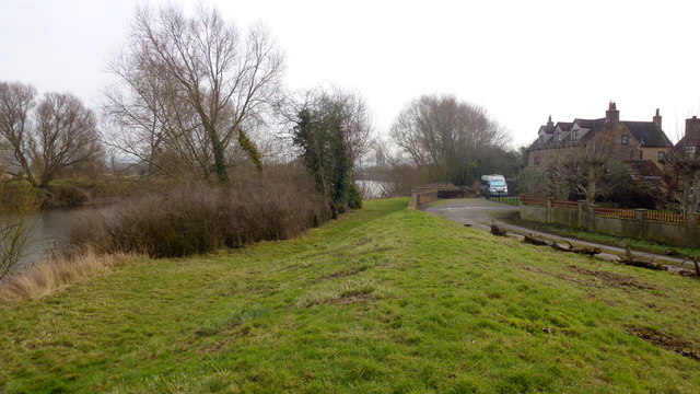
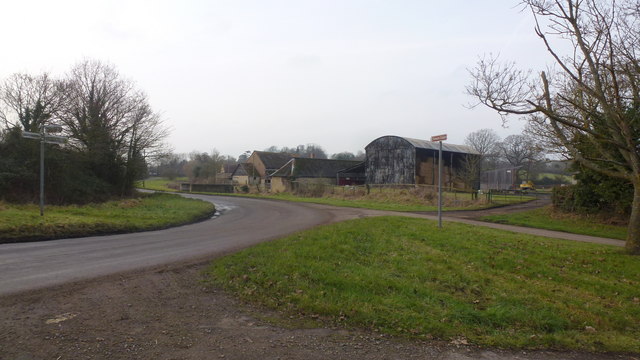
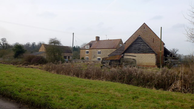
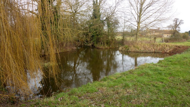
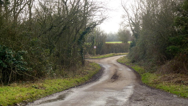
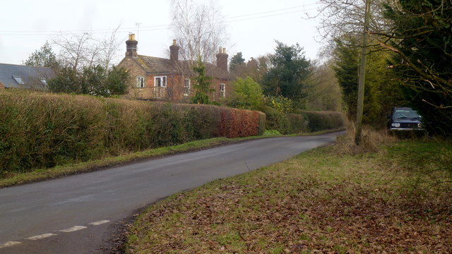
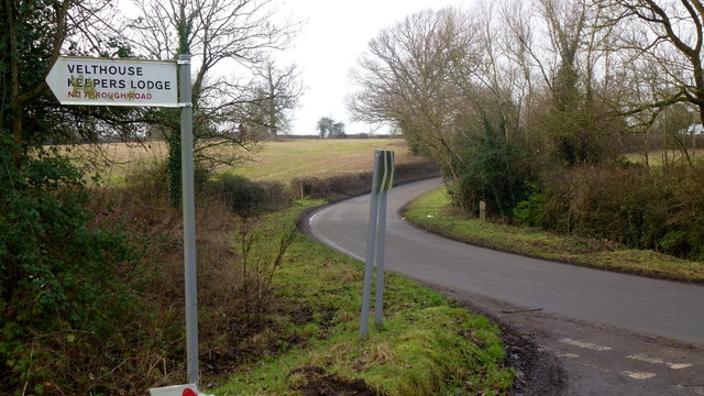
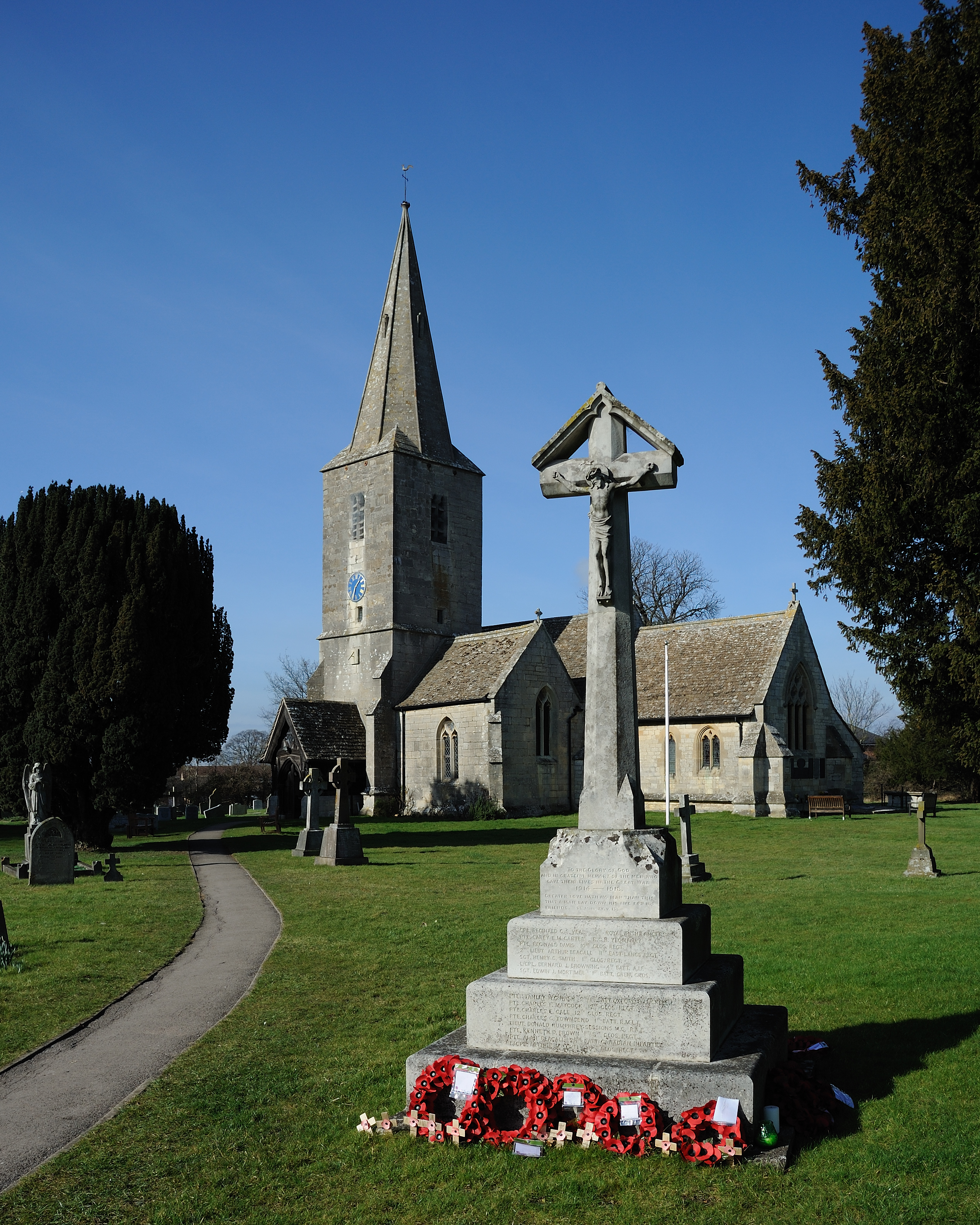
Scarr Wood Images

Images are sourced within 2km of 51.842308/-2.3074279 or Grid Reference SO7816. Thanks to Geograph Open Source API. All images are credited.

Same gate, different sign, similar meaning Following up my last visit exactly five years ago see <a href="https://www.geograph.org.uk/photo/2213364">SO7816 : Bull in field?</a>.
Same gate, different sign, similar meaning
Following up my last visit exactly five years ago see SO7816 : Bull in field?.
Drain at Calcott's Green Edge of the Severn flood plain.
Drain at Calcott's Green
Edge of the Severn flood plain.
Calcott's Green The houses on the right appear to be just above the flood plain to the left.
Calcott's Green
The houses on the right appear to be just above the flood plain to the left.
Church Lane, Minsterworth
River Severn at Stonebench, 1 The river is benign on this calm cold January afternoon.
River Severn at Stonebench, 1
The river is benign on this calm cold January afternoon.
River Severn at Stonebench, 2 Looking downstream by Stonebench House. The business here is groundworks equipment and hire.
River Severn at Stonebench, 2
Looking downstream by Stonebench House. The business here is groundworks equipment and hire.
Footpath to the Sharpness canal This path allows access to the Gloucester and Sharpness Canal towpath about 350m distant, from the Severn bank at Stonebench.
Footpath to the Sharpness canal
This path allows access to the Gloucester and Sharpness Canal towpath about 350m distant, from the Severn bank at Stonebench.
Track and footpath to Brookfield House The house can be seen in the distance.
Track and footpath to Brookfield House
The house can be seen in the distance.
Elmore Lane This road joins up the scattered farms and houses of the community within a big bend of the River Severn.
Elmore Lane
This road joins up the scattered farms and houses of the community within a big bend of the River Severn.
Severn Way LDF at Weir Green The path follows the embankment north, downstream.
Some wag has turned the sign to Elmore Back directly towards the river.
Severn Way LDF at Weir Green
The path follows the embankment north, downstream. Some wag has turned the sign to Elmore Back directly towards the river.
Looking across the Severn from Weir Green Highlay or Highley House is the ruin on the opposite bank.
Looking across the Severn from Weir Green
Highlay or Highley House is the ruin on the opposite bank.
Severn Way LDF at Weir Green Looking south, upstream, alongside houses just above the flood plain.
Severn Way LDF at Weir Green
Looking south, upstream, alongside houses just above the flood plain.
Elmore Lane at Weir Lane junction Looking west towards Elmore Farm.
Elmore Lane at Weir Lane junction
Looking west towards Elmore Farm.
Elmore Farm Plenty of barns for conversion here.
Elmore Farm
Plenty of barns for conversion here.
Ponds at Elmore Elmore Farm in the background. A willow to the left.
Ponds at Elmore
Elmore Farm in the background. A willow to the left.
Dead end lane to Velthouse A branch to the left heads south-east to Keeper's Lodge.
Dead end lane to Velthouse
A branch to the left heads south-east to Keeper's Lodge.
Kenton Green, Elmore, 1 By the junction with Velthouse Lane, looking east towards Gloucester.
Kenton Green, Elmore, 1
By the junction with Velthouse Lane, looking east towards Gloucester.
Kenton Green, Elmore, 2 Looking west towards Elmore church.
Kenton Green, Elmore, 2
Looking west towards Elmore church.
Show me another place!

Scarr Wood is located at Grid Ref: SO7816 (Lat: 51.842308, Lng: -2.3074279)

Administrative County: Gloucestershire

District: Stroud

Police Authority: Gloucestershire

What 3 Words

///solar.forgot.float. Near Gloucester, Gloucestershire

Related Wikis

Elmore, Gloucestershire

For other places with the same name, see Elmore (disambiguation). Elmore is a village and civil parish, in the Stroud district of Gloucestershire, England...

Minsterworth

Minsterworth is a village in Gloucestershire, England. It lies on the border of the City of Gloucester, on the north bank of the River Severn (effectively...

Severn bore

The Severn bore is a tidal bore seen on the tidal reaches of the River Severn in south western England. It is formed when the rising tide moves into the...

Severn Vale School

Severn Vale School is a secondary school with academy status in Quedgeley, Gloucester, England. Its students are aged from 11 to 16. The headmaster is...

St James Church, Quedgeley

St James Church is a Church of England church in School Lane, Quedgeley, Gloucester, Gloucestershire, England. It was designated as a Grade II listed building...

The Little Thatch

The Little Thatch (also known as The Thatch Inn) is a 14th-century timber-framed building at 141 Bristol Road, Quedgeley, Gloucester. It is now used as...

Quedgeley

Quedgeley is a town and former civil parish in the city of Gloucester in Gloucestershire, England. A thin strip of land between the Severn and the Gloucester...

Gloucester Rowing Club

Gloucester Rowing Club and Gloucester Hartpury is a rowing club on the Gloucester-Purton canal based at Gloucester Boathouse, David Hook Way, Hempsted...

Nearby Amenities

Located within 500m of 51.842308,-2.3074279
Source: PGS
Lat/Long: 51.8421316/-2.3042527
Source: PGS
Lat/Long: 51.8426362/-2.3042668
Source: PGS
Lat/Long: 51.8430624/-2.3042457
Source: PGS
Lat/Long: 51.843654/-2.304309
Source: PGS
Lat/Long: 51.8438724/-2.3043782
Source: PGS
Lat/Long: 51.8441307/-2.3044678
Source: PGS
Lat/Long: 51.8444875/-2.3046172
Source: PGS
Lat/Long: 51.8448812/-2.3049457
Source: PGS
Lat/Long: 51.8454409/-2.3053838
Source: PGS
Lat/Long: 51.8460404/-2.3062199
Source: PGS
Lat/Long: 51.8463758/-2.3070507
Source: PGS
Lat/Long: 51.8466592/-2.30838
Created By: almien_coastlines
Source: PGS
Lat/Long: 51.8463464/-2.3053624
Created By: almien_coastlines
Source: PGS
Lat/Long: 51.8460375/-2.30494
Source: PGS
Lat/Long: 51.8458149/-2.3046312
Created By: almien_coastlines
Source: PGS
Lat/Long: 51.8453694/-2.3042413
Created By: almien_coastlines
Source: PGS
Lat/Long: 51.8448726/-2.30385
Source: PGS
Lat/Long: 51.8441933/-2.3035518
Created By: almien_coastlines
Source: PGS
Lat/Long: 51.8436716/-2.3034825
Created By: almien_coastlines
Source: PGS
Lat/Long: 51.8434156/-2.3034865
Source: PGS
Lat/Long: 51.8416163/-2.3032292
Source: PGS
Lat/Long: 51.8387257/-2.3033797
Source: PGS
Lat/Long: 51.8389823/-2.303436
Source: PGS
Lat/Long: 51.839339/-2.3035346
Source: PGS
Lat/Long: 51.8398219/-2.3037388
Source: PGS
Lat/Long: 51.8410703/-2.304133
Source: PGS
Lat/Long: 51.841627/-2.3042175
Source: PGS
Lat/Long: 51.8412658/-2.3031728
Created By: almien_coastlines
Source: PGS
Lat/Long: 51.8408516/-2.3031115
Created By: almien_coastlines
Source: PGS
Lat/Long: 51.8403719/-2.3029714
Source: PGS
Lat/Long: 51.8401506/-2.3028858
Source: PGS
Lat/Long: 51.8397281/-2.302721
Windmill Hill
Created By: Potlatch 0.10f
Ele: 35
Natural: peak
Note: Small hill but on otherwise flat flood plain...
Source: NPE
Lat/Long: 51.8407405/-2.3065143
Power: tower
Source: Bing
Lat/Long: 51.8466631/-2.3092146
Waterway: sluice_gate
Lat/Long: 51.8393162/-2.3023439
Waterway: sluice_gate
Lat/Long: 51.8397653/-2.3024317
Waterway: sluice_gate
Lat/Long: 51.8402079/-2.302523
Barrier: stile
Lat/Long: 51.8406092/-2.3025406
Barrier: stile
Lat/Long: 51.8421948/-2.3028692
Barrier: stile
Lat/Long: 51.8451201/-2.3035116
Barrier: stile
Source: Bing
Lat/Long: 51.8433723/-2.304556
Madam Pool
Place: locality
Lat/Long: 51.8461664/-2.3057081
The data included in this document is from www.openstreetmap.org. The data is made available under ODbL.

Have you been to Scarr Wood?

Leave your review of Scarr Wood below (or comments, questions and feedback).