Clift Wood
Wood, Forest in Gloucestershire
England
Clift Wood
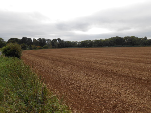
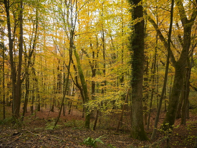
Clift Wood is a small forested area located in Gloucestershire, England. Situated in the heart of the picturesque Cotswolds, it covers an area of approximately 100 acres. The woodland is known for its diverse range of trees, including oak, beech, and ash, which create a vibrant and enchanting landscape throughout the seasons.
The forest is a popular destination for nature enthusiasts, hikers, and bird watchers. The well-maintained trails winding through the woodland offer visitors the opportunity to explore its natural beauty while engaging in outdoor activities. The abundance of wildlife in Clift Wood is another attraction, with various species of birds, mammals, and insects calling it their home.
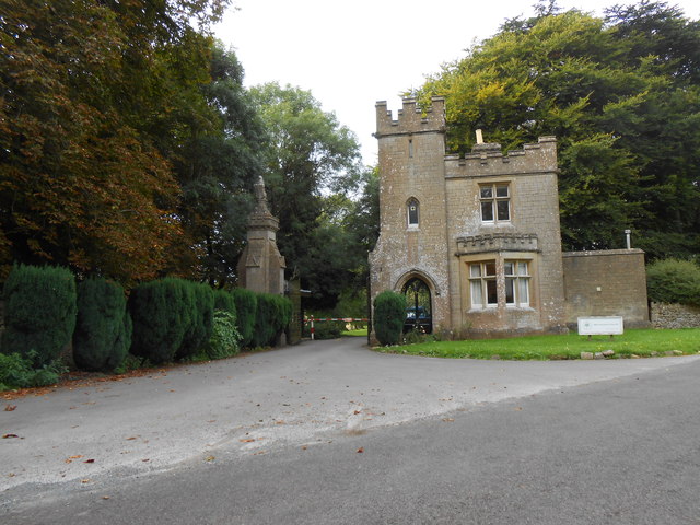
Clift Wood has a rich history, with evidence of human habitation dating back thousands of years. Archaeological findings suggest that the area was used for hunting and gathering during the Neolithic period. Over the centuries, the forest has seen various land uses, including timber production and charcoal making.
Today, Clift Wood is managed by the local authorities, ensuring its preservation and conservation for future generations. The forest provides a peaceful and tranquil setting, allowing visitors to escape the hustle and bustle of modern life. Whether it's a leisurely stroll, a picnic with family and friends, or simply immersing oneself in the serenity of nature, Clift Wood offers a welcome retreat for all nature lovers.
If you have any feedback on the listing, please let us know in the comments section below.
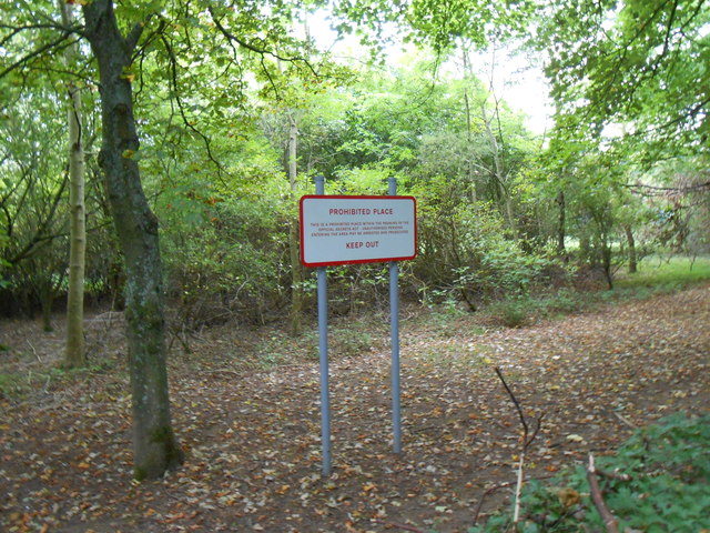
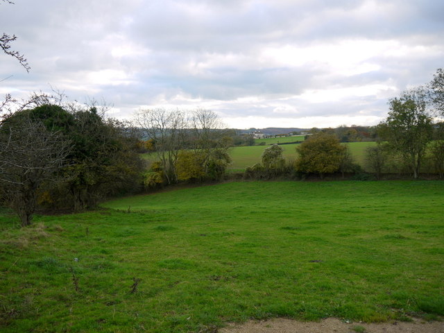
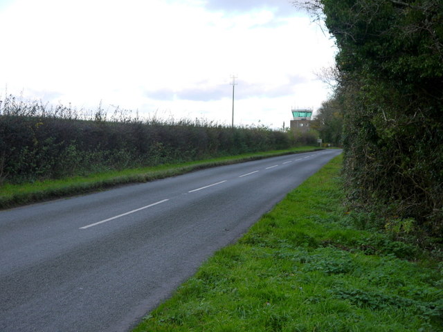
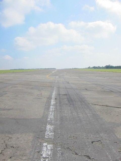
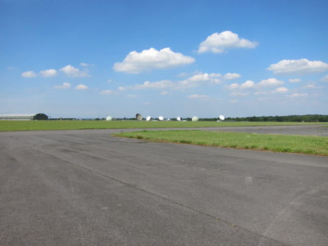
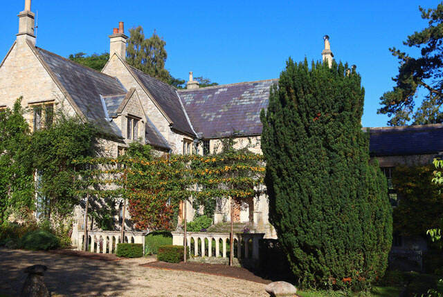
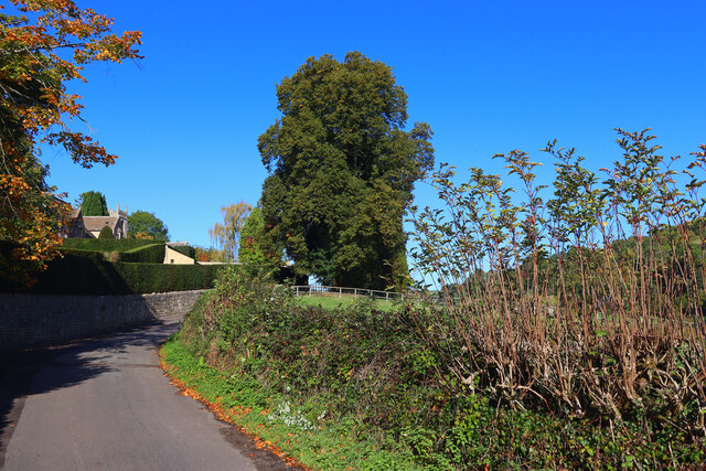
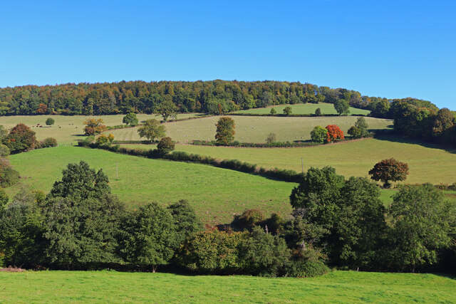
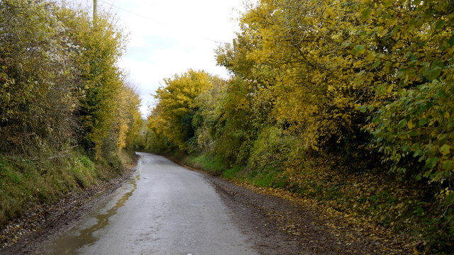
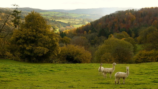
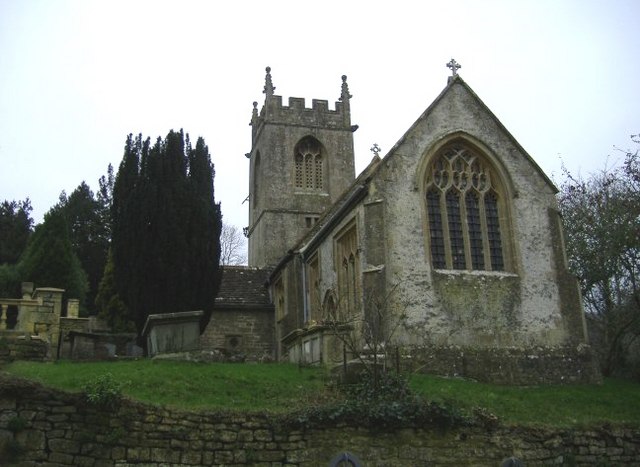
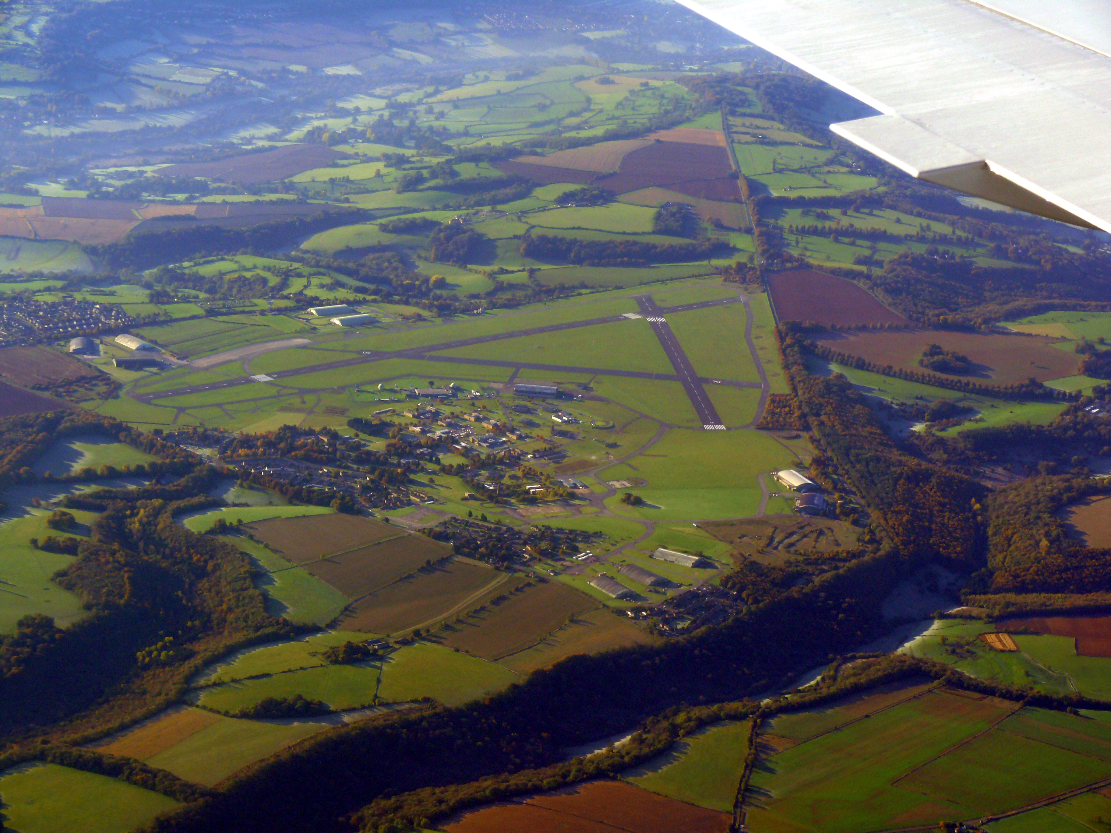
Clift Wood Images
Images are sourced within 2km of 51.439655/-2.3096208 or Grid Reference ST7871. Thanks to Geograph Open Source API. All images are credited.


Clift Wood is located at Grid Ref: ST7871 (Lat: 51.439655, Lng: -2.3096208)
Unitary Authority: South Gloucestershire
Police Authority: Avon and Somerset
What 3 Words
///rotations.pins.cabinets. Near Marshfield, Gloucestershire
Nearby Locations
Related Wikis
St Catherine, Somerset
St Catherine is a small, but very spread out, rural village within the civil parish of Batheaston in Bath and North East Somerset and Marshfield Parish...
Church of St Catherine, St Catherine
The Church of St Catherine is an Anglican parish church in St Catherine, Somerset, England. It was built in the 12th century as a chapel of ease of Bath...
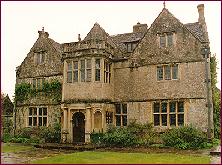
St Catherine's Court
St Catherine's Court is a manor house in a secluded valley north of Bath, Somerset, England. It is a Grade I listed property. The gardens are Grade II...
Colerne Airfield
Colerne Airfield (ICAO: EGUO), now known as Azimghur Barracks, is a British Army facility just north-west of the village of Colerne, Wiltshire, England...
RAF Colerne
Royal Air Force Colerne or more simply RAF Colerne is a former Royal Air Force station which was on the outskirts of the village of Colerne in Wiltshire...

Marshfield, Gloucestershire
Marshfield is a town in the local government area of South Gloucestershire, England, on the borders of the counties of Wiltshire and Somerset. Toponymy...

RAF Charmy Down
Royal Air Force Charmy Down or more simply RAF Charmy Down is a former Royal Air Force station in Somerset, England, approximately 3 miles (4.8 km) north...

St. Catherine's Valley
St. Catherine's Valley (grid reference ST760725) is a 156.1 hectare biological Site of Special Scientific Interest southwest of the village of Marshfield...
Nearby Amenities
Located within 500m of 51.439655,-2.3096208Have you been to Clift Wood?
Leave your review of Clift Wood below (or comments, questions and feedback).