White Stone Wood

Wood, Forest in Yorkshire Craven

England

White Stone Wood

Ford at Wharfe This ford is found on White Stone Lane in Wharfe. Access to the hamlet was restricted to pedestrians only.
Ford at Wharfe Credit: John Walton

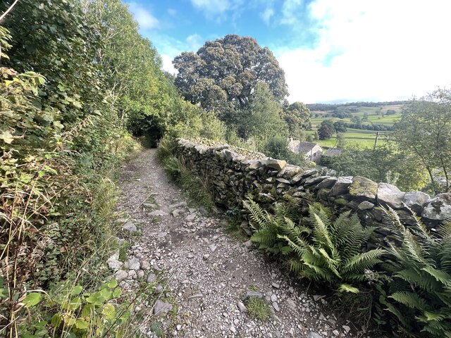
White Stone Wood is a picturesque woodland located in the county of Yorkshire, England. Covering an area of approximately 100 acres, it is a popular destination for nature enthusiasts, hikers, and those seeking a peaceful retreat in the heart of nature. The wood is situated in close proximity to the village of White Stone, from which it derives its name.

The woodland is known for its diverse range of tree species, including oak, beech, birch, and pine. This creates a rich tapestry of colors throughout the year, with vibrant hues of green in spring and summer, and stunning autumnal displays of red, orange, and gold. The wood is also home to an array of wildlife, including deer, foxes, badgers, and numerous bird species, making it a haven for wildlife enthusiasts and birdwatchers.

Visitors to White Stone Wood can enjoy a network of well-maintained walking trails that wind through the forest, providing opportunities for leisurely strolls or more challenging hikes. The trails are clearly marked and offer breathtaking views of the surrounding countryside, including rolling hills and meandering streams.

In addition to its natural beauty, White Stone Wood also holds historical significance. The remains of an ancient Roman road can be found within the woodland, offering a glimpse into the area's past. This combination of natural beauty and historical interest makes White Stone Wood a must-visit destination for those interested in Yorkshire's rich cultural and natural heritage.

If you have any feedback on the listing, please let us know in the comments section below.

White Stone Wood Images

Images are sourced within 2km of 54.127953/-2.3377144 or Grid Reference SD7870. Thanks to Geograph Open Source API. All images are credited.

Ford at Wharfe This ford is found on White Stone Lane in Wharfe. Access to the hamlet was restricted to pedestrians only.
Ford at Wharfe
This ford is found on White Stone Lane in Wharfe. Access to the hamlet was restricted to pedestrians only.
Track below Lower Bark House Looking towards Long Scar
Track below Lower Bark House
Looking towards Long Scar
Looking down to the Road of a Thousand Bends from the path to Moughton Nab That's probably not an official name, but any Yorkshire Dales caver will know exactly where you mean if you mention the Road of a Thousand Bends, being the way between Ribblesdale and Austwick and a frequent route for those visiting the Helwith Bridge pub from caving clubs in the Clapham and Ingleton areas, or visiting the Ingleborough area caves from the clubs in Horton. The scene of many an accident, we once came across a shiny Porsche lying on its roof in the verge, and shortly thereafter found a gentleman running towards Austwick in some haste. Most mishaps tend to be less serious, taking corners off cars and walls when meeting someone coming the other way, mostly in daylight. After the pub, it's dark and people have headlights...
Looking down to the Road of a Thousand Bends from the path to Moughton Nab
That's probably not an official name, but any Yorkshire Dales caver will know exactly where you mean if you mention the Road of a Thousand Bends, being the way between Ribblesdale and Austwick and a frequent route for those visiting the Helwith Bridge pub from caving clubs in the Clapham and Ingleton areas, or visiting the Ingleborough area caves from the clubs in Horton. The scene of many an accident, we once came across a shiny Porsche lying on its roof in the verge, and shortly thereafter found a gentleman running towards Austwick in some haste. Most mishaps tend to be less serious, taking corners off cars and walls when meeting someone coming the other way, mostly in daylight. After the pub, it's dark and people have headlights...
Track near Moughton Scars
The moor above Moughton Although bare limestone is not everywhere, the scenery on this area of moorland is very karstic with no surface water and many closed depressions. But with no shale cover to concentrate water into streams, there is very little in the way of known cave development, and it's a bleak and unpromising place to come looking, despite the obvious attractions of a "blank on the map". Indeed, so poor is its reputation for those looking for new caverns measureless to man that this is the first time I've been up here since starting caving almost fifty years ago. Such are the attractions of new personal points on geograph ! Also it was handily nearby for the club dinner later in the evening...
The moor above Moughton
Although bare limestone is not everywhere, the scenery on this area of moorland is very karstic with no surface water and many closed depressions. But with no shale cover to concentrate water into streams, there is very little in the way of known cave development, and it's a bleak and unpromising place to come looking, despite the obvious attractions of a "blank on the map". Indeed, so poor is its reputation for those looking for new caverns measureless to man that this is the first time I've been up here since starting caving almost fifty years ago. Such are the attractions of new personal points on geograph ! Also it was handily nearby for the club dinner later in the evening...
Looking from Moughton towards Austwick The extensive limestone plateau behind Moughton Nab is featureless and fairly pathless, but mysteriously dotted with cairns in places of no apparent significance. There's one just behind the photographer, and my GPS says it's in this square, but aerial photography is just too low-resolution to identify it with certainty. It seems to be right on the square boundary within a metre or two, but for geograph purposes it's safer to just look the other way and pick a subject which is well inside the square. Despite the bogginess of the moor and the number of closed depressions, there are no discrete stream sinks or deep shakeholes, so the area has long been regarded as hopeless for the discovery of new cave systems. There are various risings below it, but all are too small for any kind of exploration. A bit of a cavers' desert, really.
Looking from Moughton towards Austwick
The extensive limestone plateau behind Moughton Nab is featureless and fairly pathless, but mysteriously dotted with cairns in places of no apparent significance. There's one just behind the photographer, and my GPS says it's in this square, but aerial photography is just too low-resolution to identify it with certainty. It seems to be right on the square boundary within a metre or two, but for geograph purposes it's safer to just look the other way and pick a subject which is well inside the square. Despite the bogginess of the moor and the number of closed depressions, there are no discrete stream sinks or deep shakeholes, so the area has long been regarded as hopeless for the discovery of new cave systems. There are various risings below it, but all are too small for any kind of exploration. A bit of a cavers' desert, really.
Moughton trig. point and pile of stones One can only tell by the OS map whether a given heap of rocks is a cairn or a pile of stones (if it has words at all). The OS believe this one to be a pile of stones, so I guess we take their work for it, though some definitions in the map key would not go amiss, so we might know the difference. The trig. point is, on the other hand, unmistakeable in its identification.
Moughton trig. point and pile of stones
One can only tell by the OS map whether a given heap of rocks is a cairn or a pile of stones (if it has words at all). The OS believe this one to be a pile of stones, so I guess we take their work for it, though some definitions in the map key would not go amiss, so we might know the difference. The trig. point is, on the other hand, unmistakeable in its identification.
Long wall across Moughton There are no real paths across the high plateau of Moughton, and it is generally a choice between boggy heather or loose limestone pavement and shillow. However, at least sheep feel the need to pick a route sheltered from the cold east winds of winter, so a trod of sorts follows the wall closely on its way north towards the main path up from Horton-in-Ribblesdale.
Long wall across Moughton
There are no real paths across the high plateau of Moughton, and it is generally a choice between boggy heather or loose limestone pavement and shillow. However, at least sheep feel the need to pick a route sheltered from the cold east winds of winter, so a trod of sorts follows the wall closely on its way north towards the main path up from Horton-in-Ribblesdale.
The Norber erratics The 'erratics' are boulders dropped by passing glaciers.  They lie on a bedrock of limestone which has weathered down through the action of rainwater dissolving the rock - except below the boulders where the rock is protected.
The Norber erratics
The 'erratics' are boulders dropped by passing glaciers. They lie on a bedrock of limestone which has weathered down through the action of rainwater dissolving the rock - except below the boulders where the rock is protected.
Small wood in Crummack Dale
Norber Erratics
Norber
Erratics
Moughton from Oxenber woods Oxenber is alimestone hill about 850 feet high covered in very mature woods. Moughton, over the valley, is limestone moorland 1340 ft high
Moughton from Oxenber woods
Oxenber is alimestone hill about 850 feet high covered in very mature woods. Moughton, over the valley, is limestone moorland 1340 ft high
Austwick village from Oxenber From the south end of the obvious scar on Oxenber a 35mm lens covers the whole village. The lakeland hills are visible on a clear day.
Austwick village from Oxenber
From the south end of the obvious scar on Oxenber a 35mm lens covers the whole village. The lakeland hills are visible on a clear day.
Norber Erratics My understanding is that the rocks on the top were deposited there by glaciers from miles away.
Norber Erratics
My understanding is that the rocks on the top were deposited there by glaciers from miles away.
...yet more Norber Erratics. Between Clapham and Austwick, Y Dales.
...yet more Norber Erratics.
Between Clapham and Austwick, Y Dales.
Nappa Scars. Near the Norber Erratics.
Nappa Scars.
Near the Norber Erratics.
Bridleway near Austwick Looking E along the bridleway to Feizor.
Bridleway near Austwick
Looking E along the bridleway to Feizor.
Gate and barn, Norber Looking north-west from the gate at SD 767 693. Robin Proctor's Scar is in the distance.
Gate and barn, Norber
Looking north-west from the gate at SD 767 693. Robin Proctor's Scar is in the distance.
Show me another place!

White Stone Wood is located at Grid Ref: SD7870 (Lat: 54.127953, Lng: -2.3377144)

Division: West Riding

Administrative County: North Yorkshire

District: Craven

Police Authority: North Yorkshire

What 3 Words

///sizes.ditching.vampire. Near Settle, North Yorkshire

Nearby Locations

White Stone Wood

Related Wikis

Wharfe, North Yorkshire

Wharfe is a hamlet about a mile north east of the village of Austwick, North Yorkshire, England. Its postcode is LA2 8DQ. The name means 'The bend',...

Crummackdale

Crummackdale, (sometimes Crummack Dale), is a small valley north of the village of Austwick in the Craven District of North Yorkshire, England. The Valley...

Norber erratics

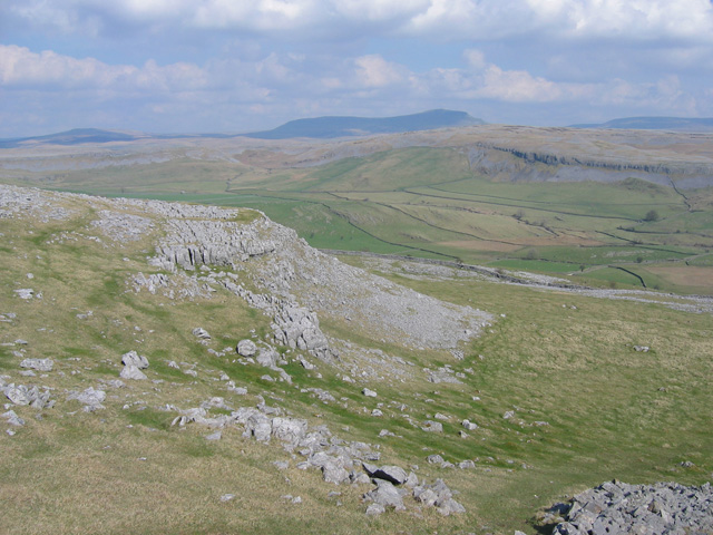
The Norber erratics are one of the finest groups of glacial erratic boulders in Britain. They are found on the southern slopes of Ingleborough, close to...
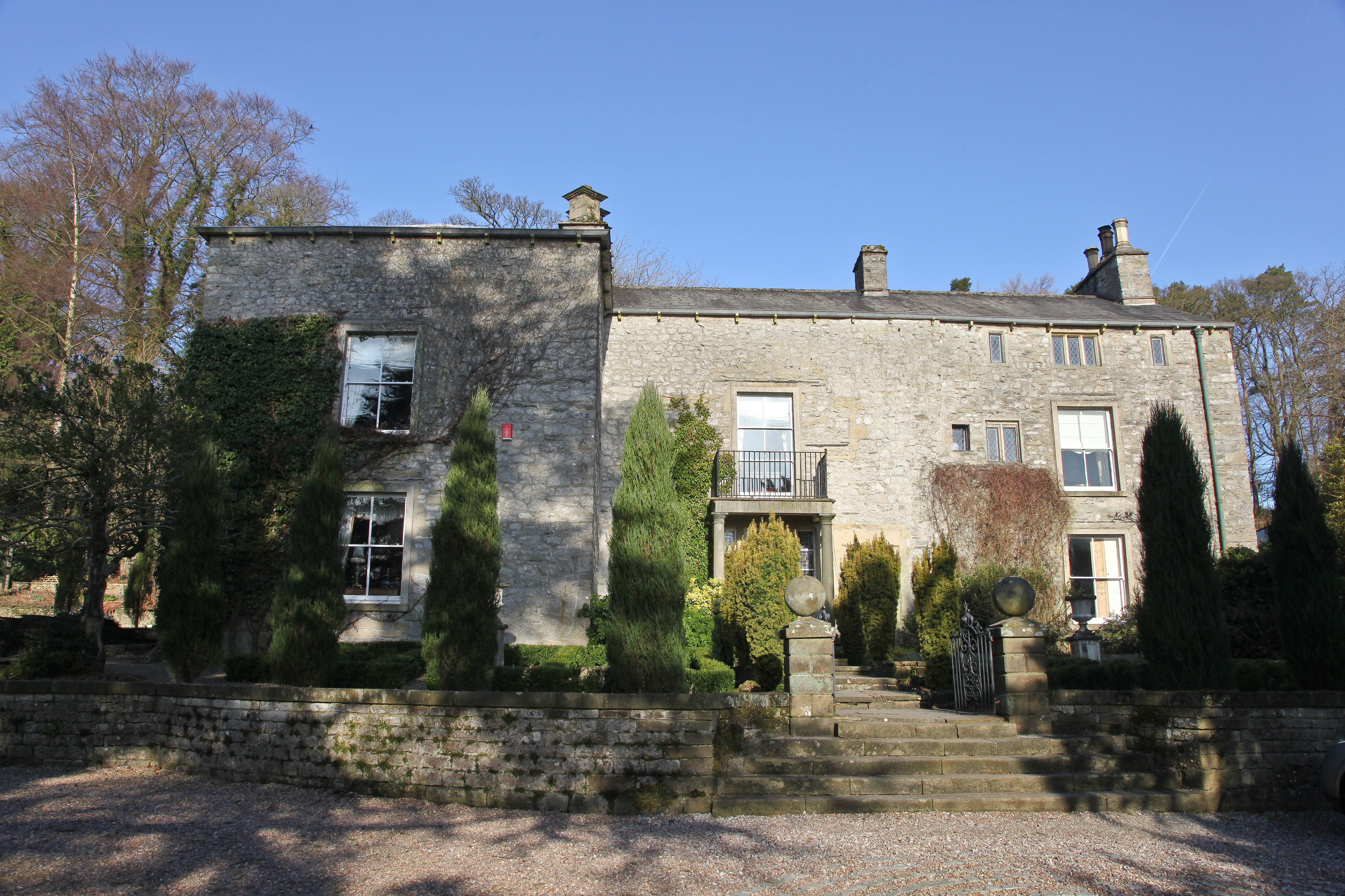
Austwick Hall

Austwick Hall is an historic manor house situated above the village of Austwick in North Yorkshire, England. The house is a Grade II listed building and...

Austwick

Austwick is a village and civil parish in the Craven district of North Yorkshire, England, about 5 miles (8 km) north-west of Settle. The village is on...
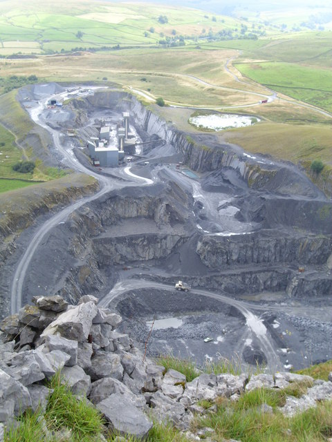
Dry Rigg Quarry

Dry Rigg Quarry is a quarry at Helwith Bridge in North Yorkshire, England, located within the Yorkshire Dales National Park. The quarry produces a hard...

Horton Quarry

Horton Quarry is a limestone quarry near to Horton-in-Ribblesdale, North Yorkshire, England. The quarry, which is some 6 miles (9.7 km) north of Settle...
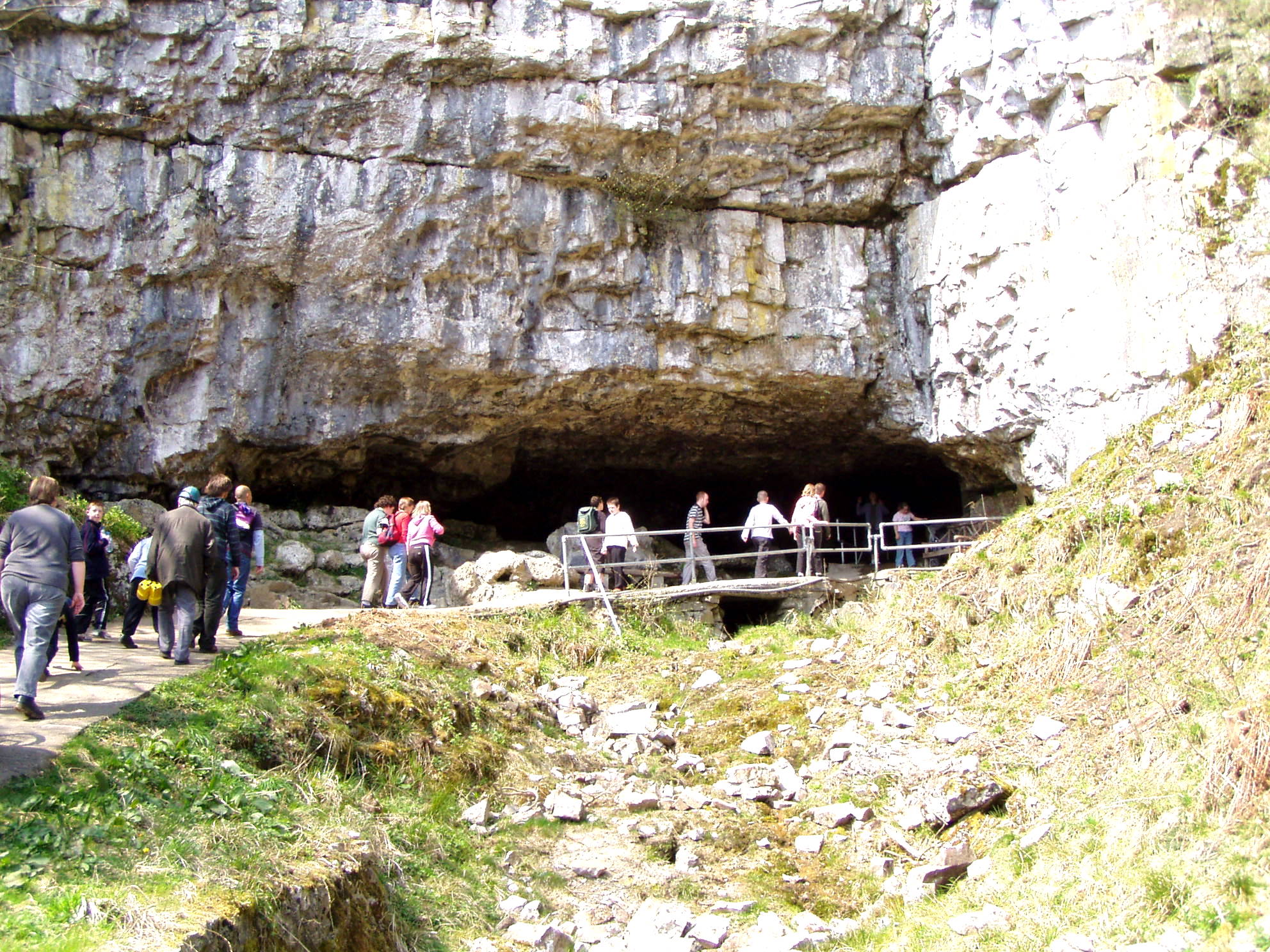
Ingleborough Cave

Ingleborough Cave (formerly known as Clapham Caves) is a show cave close to the village of Clapham in North Yorkshire, England, adjacent to where the water...

Nearby Amenities

Located within 500m of 54.127953,-2.3377144
Ford: yes
Lat/Long: 54.1298635/-2.3445501
Barrier: stile
Lat/Long: 54.1250044/-2.33788
Wash Dub Field
Is In: Craven, North Yorkshire, Yorkshire, England, UK
Place: locality
Source: survey;local_knowledge
Lat/Long: 54.1297763/-2.3444706
Power: pole
Lat/Long: 54.1250544/-2.3432088
Power: pole
Lat/Long: 54.1252269/-2.3423229
Power: pole
Lat/Long: 54.1253755/-2.3416061
Power: pole
Lat/Long: 54.1255838/-2.3405599
Power: pole
Lat/Long: 54.1257426/-2.3397615
Power: pole
Lat/Long: 54.1258656/-2.3391116
Power: pole
Lat/Long: 54.1253055/-2.3380539
Power: pole
Lat/Long: 54.1247624/-2.3370543
Power: pole
Lat/Long: 54.1241579/-2.3359208
Ford: yes
Lat/Long: 54.1305724/-2.3401789
Barrier: entrance
Lat/Long: 54.1297116/-2.344213
Bench
Lat/Long: 54.1297736/-2.3444116
Power: pole
Lat/Long: 54.1263595/-2.3399918
Power: pole
Lat/Long: 54.1269258/-2.3410229
Power: pole
Lat/Long: 54.127406/-2.3419146
Power: pole
Lat/Long: 54.1279387/-2.3429083
Power: pole
Lat/Long: 54.12854/-2.3440341
Power: pole
Lat/Long: 54.1289866/-2.3448585
The data included in this document is from www.openstreetmap.org. The data is made available under ODbL.

Have you been to White Stone Wood?

Leave your review of White Stone Wood below (or comments, questions and feedback).