Tanner's Green
Settlement in Worcestershire Bromsgrove
England
Tanner's Green

Tanner's Green is a small village located in the county of Worcestershire, England. Situated in the heart of the picturesque countryside, it is surrounded by rolling hills and lush green fields, making it a desirable location for those seeking a peaceful and idyllic setting.
With a population of around 300 residents, Tanner's Green maintains a close-knit community atmosphere. The village is characterized by its charming cottages and traditional architecture, which adds to its quaint and timeless appeal. The local church, St. Mary's, is a prominent feature within the village, dating back several centuries and offering a glimpse into the area's rich history.
While primarily a residential area, Tanner's Green benefits from its proximity to larger towns nearby. The village is conveniently located just a short drive away from the market town of Bewdley, which provides residents with access to a range of amenities, including shops, restaurants, and leisure facilities. Additionally, the city of Worcester is also within easy reach, offering further opportunities for employment, education, and entertainment.
For nature enthusiasts, Tanner's Green is a haven, with numerous walking trails and scenic spots to explore. The surrounding Worcestershire countryside offers ample opportunities for outdoor activities, such as hiking, cycling, and fishing. The nearby River Severn is a popular spot for boating and water sports.
In summary, Tanner's Green is a charming village nestled in the beautiful Worcestershire countryside. Its tranquil setting, strong community spirit, and access to nearby amenities make it an appealing place to live for those seeking a rural lifestyle.
If you have any feedback on the listing, please let us know in the comments section below.
Tanner's Green Images
Images are sourced within 2km of 52.369802/-1.877031 or Grid Reference SP0874. Thanks to Geograph Open Source API. All images are credited.


Tanner's Green is located at Grid Ref: SP0874 (Lat: 52.369802, Lng: -1.877031)
Administrative County: Worcestershire
District: Bromsgrove
Police Authority: West Mercia
What 3 Words
///reap.boot.faced. Near Tidbury Green, West Midlands
Nearby Locations
Related Wikis
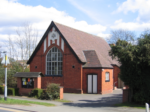
Wythall
Wythall is a village and civil parish in the Bromsgrove District, in the north-east corner of the county of Worcestershire, England. Wythall parish borders...
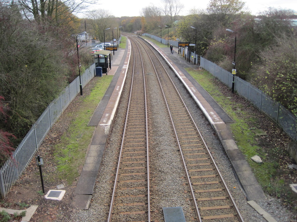
Earlswood railway station (West Midlands)
Earlswood railway station is located on the western fringe of the village of Earlswood on the West Midlands/Warwickshire border in England. The platforms...
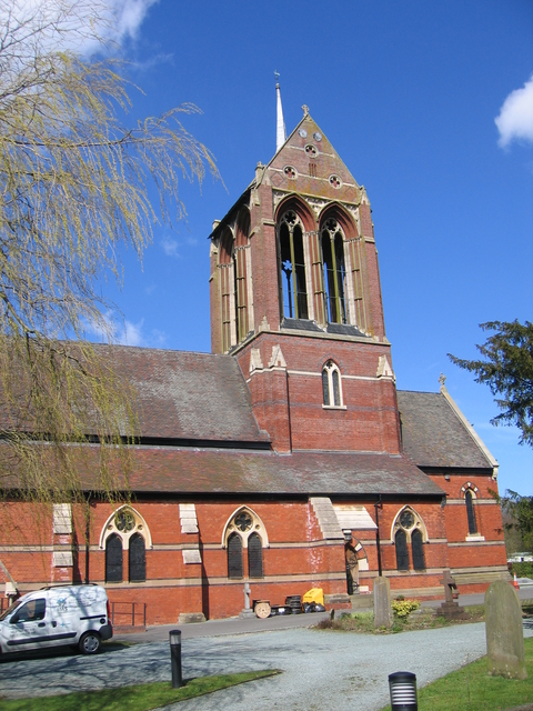
St Mary's Church, Wythall
The Former Church of St Mary, Wythall is a Grade II listed redundant parish church in the Church of England in Wythall, Worcestershire. == History == The...

Wythall miniature railway
Wythall miniature railway is a dual-gauge miniature railway in the grounds of The Transport Museum, Wythall in England. It is operated and maintained...

Wythall railway station
Wythall railway station (formerly Grimes Hill Platform, Grimes Hill & Wythall Halt and Grimes Hill and Wythall Platform) serves the village of Wythall...
Transport Museum Wythall
The Transport Museum, Wythall is a transport museum just outside Birmingham, at Chapel Lane, Wythall, Worcestershire, England. The museum was originally...
Tidbury Green
Tidbury Green is a village and civil parish within the Metropolitan Borough of Solihull in the county of West Midlands in England. The population of the...
Woodrush High School
Woodrush High School is a mixed secondary school and sixth form located in the parish of Wythall in the English county of Worcestershire.Woodrush High...
Nearby Amenities
Located within 500m of 52.369802,-1.877031Have you been to Tanner's Green?
Leave your review of Tanner's Green below (or comments, questions and feedback).