Tannadice

Settlement in Angus

Scotland

Tannadice

Round bales, Meikle Coul Strathmore farmland after the harvest. The Highland Boundary Fault is very distinct here.
Round bales, Meikle Coul Credit: Richard Webb

Tannadice is a small village located in the county of Angus, Scotland. Situated approximately five miles northwest of the town of Forfar, Tannadice is nestled in the beautiful countryside of the Strathmore Valley. With a population of around 200 residents, the village offers a peaceful and idyllic setting for its inhabitants.

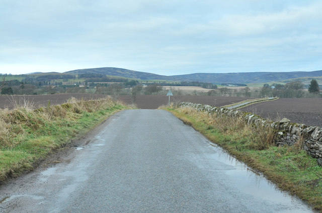
The village is known for its picturesque surroundings, with rolling hills, green fields, and stunning views of the nearby Sidlaw Hills. The rural landscape provides ample opportunities for outdoor activities such as hiking, cycling, and birdwatching. Additionally, the area is rich in wildlife, including deer, pheasants, and various bird species.

Tannadice is also home to the historic Tannadice Church, which dates back to the 12th century. This charming church features a distinctive Norman-style architecture, with its stone walls and a unique round bell tower. The churchyard is a peaceful spot, offering a glimpse into the village's history.

Despite its small size, Tannadice has a strong sense of community, with several local events and activities that bring residents together. The village hosts an annual summer fair, which includes traditional games, food stalls, and live music. There is also a local pub where villagers and visitors can enjoy a drink and socialize.

In summary, Tannadice is a tranquil village in Angus, Scotland, offering residents and visitors a chance to enjoy the beauty of the Scottish countryside and embrace a close-knit community spirit.

If you have any feedback on the listing, please let us know in the comments section below.
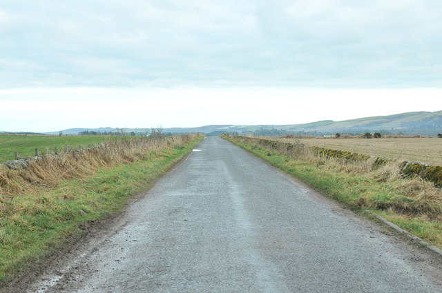
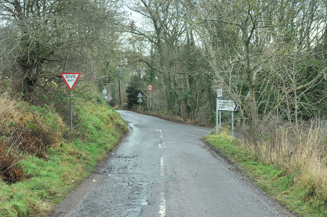
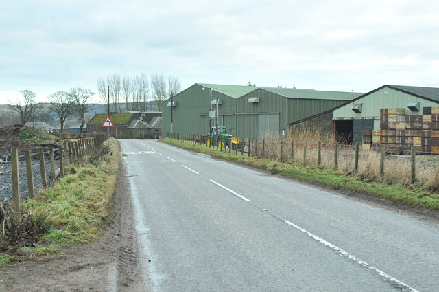
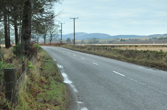
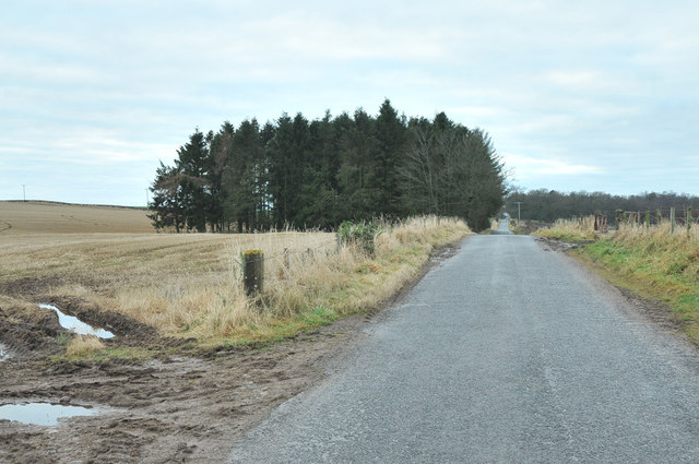
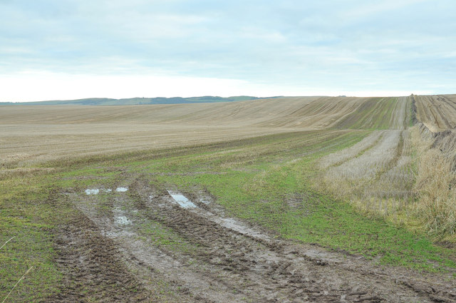
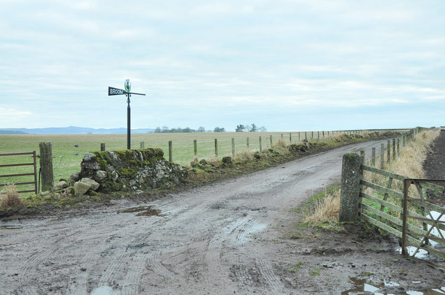
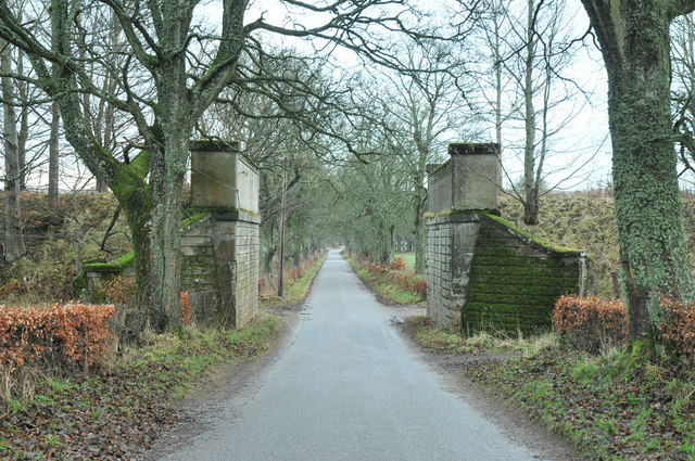
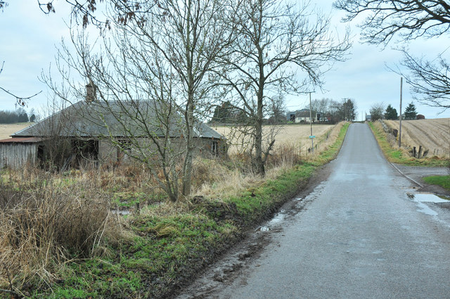
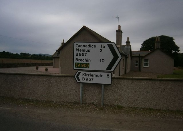
Tannadice Images

Images are sourced within 2km of 56.712427/-2.8591101 or Grid Reference NO4758. Thanks to Geograph Open Source API. All images are credited.

Round bales, Meikle Coul Strathmore farmland after the harvest. The Highland Boundary Fault is very distinct here.
Round bales, Meikle Coul
Strathmore farmland after the harvest. The Highland Boundary Fault is very distinct here.
Meikle Coull Arable farming in Angus.
Meikle Coull
Arable farming in Angus.
Baldoukie A dairy farm with a big slurry tank.
Baldoukie
A dairy farm with a big slurry tank.
Baldoukie A minor road amongst scattered dwellings.
Baldoukie
A minor road amongst scattered dwellings.
Road junction near Baldoukie
Minor road near Baldoukie
Road junction at Tannadice
B957 past farm buildings at Barnyards
B957 near Tannadyce House
Mobile phone mast near Tannadice
Minor road near Tannadice
Minor road near Knowehead
Farmland near Wellford
Farm road to Broom Farm
Minor road near Broom Farm
Dismantled railway bridge at Nether Balgillo
Ruined cottage at the roadside, Nether Balgillo
Tannadice Sign Post Sign Post At Justinhaugh
Tannadice Sign Post
Sign Post At Justinhaugh
Show me another place!

Tannadice is located at Grid Ref: NO4758 (Lat: 56.712427, Lng: -2.8591101)

Unitary Authority: Angus

Police Authority: Tayside

What 3 Words

///surprised.convinced.bystander. Near Forfar, Angus

Nearby Locations

Tannadice

Related Wikis

Tannadice, Angus

Tannadice is a village in Angus, Scotland that lies on the River South Esk and is 4 miles north of Forfar. The estate of Tannadice was formerly owned by...

Tannadice railway station

Tannadice railway station served the village of Tannadice, Angus, Scotland, from 1895 to 1952 on the Forfar and Brechin Railway. == History == The station...

Oathlaw

Oathlaw is a village in Angus, Scotland, 4 miles north of Forfar. == References ==

Justinhaugh railway station

Justinhaugh railway station served the hamlet of Justinhaugh, Angus, Scotland, from 1895 to 1952 on the Forfar and Brechin Railway. == History == The station...

Nearby Amenities

Located within 500m of 56.712427,-2.8591101
Bus Stop
The Old Steading
Naptan AtcoCode: 6490IM015
Naptan Bearing: SE
Naptan BusStopType: CUS
Naptan CommonName: The Old Steading
Naptan Indicator: at Phone Box
Naptan Landmark: Phone Box
Naptan NaptanCode: 26425697
Naptan Street: South Esk Road
Naptan Verified: no
Source: naptan_import
Lat/Long: 56.7126341/-2.8605867
Bus Stop
Mill of Tannadice
Naptan AtcoCode: 6490IM065
Naptan Bearing: W
Naptan BusStopType: CUS
Naptan CommonName: Mill of Tannadice
Naptan Indicator: opp Phone Box
Naptan Landmark: Phone Box
Naptan NaptanCode: 26426462
Naptan Street: South Esk Road
Naptan Verified: no
Source: naptan_import
Lat/Long: 56.7125044/-2.8607246
Bus Stop
Manse Lane
Naptan AtcoCode: 6490IM185
Naptan Bearing: N
Naptan BusStopType: CUS
Naptan CommonName: Manse Lane
Naptan Indicator: opp Primary School
Naptan Landmark: Primary School
Naptan NaptanCode: 26426467
Naptan Street: B957 South Esk Road
Naptan Verified: no
Source: naptan_import
Lat/Long: 56.7122551/-2.8591016
Bus Stop
Tannadice Primary School
Naptan AtcoCode: 6490IM186
Naptan Bearing: S
Naptan BusStopType: CUS
Naptan CommonName: Tannadice Primary School
Naptan Indicator: at School
Naptan Landmark: Tannadice Primary School
Naptan NaptanCode: 26425698
Naptan Street: B957 South Esk Road
Naptan Verified: no
Source: naptan_import
Lat/Long: 56.7125006/-2.858873
Turning Circle
Lat/Long: 56.7128177/-2.8579673
Entrance: main
Lat/Long: 56.7133486/-2.8573821
Tannadice
Name Gd: Tanachais
Place: village
Wikidata: Q7683605
Wikipedia: en:Tannadice, Angus
Lat/Long: 56.712448/-2.8591293
Millhouse Cottages
Place: hamlet
Lat/Long: 56.7122003/-2.865285
Telephone
Defibrillator
Booth: K6
Covered: booth
Defibrillator Location: inside old red phone box next to car park on Broomhill Road in Tannadice
Emergency: defibrillator
Listed Status: Category B
Man Made: telephone_box
Lat/Long: 56.7126255/-2.8592513
Information: guidepost
Tourism: information
Lat/Long: 56.7125099/-2.8591494
Information: board
Tourism: information
Lat/Long: 56.7125927/-2.8591465
Post Box
Post Box Type: wall
Royal Cypher: scottish_crown
Lat/Long: 56.7125238/-2.8595163
Power: pole
Lat/Long: 56.7084667/-2.8599049
Power: pole
Lat/Long: 56.7091549/-2.8589929
Power: pole
Lat/Long: 56.7096827/-2.8581351
Power: pole
Lat/Long: 56.7101341/-2.8574022
Power: pole
Lat/Long: 56.7105855/-2.8566575
Power: pole
Lat/Long: 56.7110654/-2.8558845
Power: pole
Lat/Long: 56.7115349/-2.8551257
Power: pole
Lat/Long: 56.7120186/-2.8543339
Power: pole
Lat/Long: 56.7125114/-2.853535
Power: pole
Lat/Long: 56.7131542/-2.853436
Power: pole
Lat/Long: 56.7138203/-2.8533335
Power: pole
Lat/Long: 56.7143286/-2.8538708
Power: pole
Lat/Long: 56.7148395/-2.8544388
Power: pole
Lat/Long: 56.7154059/-2.854969
Power: pole
Lat/Long: 56.7159634/-2.8554827
Power: pole
Lat/Long: 56.7165117/-2.8560012
Power: pole
Lat/Long: 56.7131374/-2.8554203
Power: pole
Lat/Long: 56.7127559/-2.8543174
Power: pole
Lat/Long: 56.7125839/-2.8523025
Power: pole
Lat/Long: 56.712664/-2.8510535
The data included in this document is from www.openstreetmap.org. The data is made available under ODbL.

Have you been to Tannadice?

Leave your review of Tannadice below (or comments, questions and feedback).