Blakedown
Settlement in Worcestershire Wyre Forest
England
Blakedown
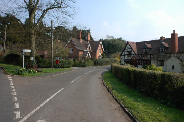
Blakedown is a charming village located in the county of Worcestershire, England. Situated approximately 15 miles south-west of the city of Birmingham, it falls within the Wyre Forest district. Known for its picturesque countryside and tranquil atmosphere, Blakedown offers a delightful escape from the hustle and bustle of city life.
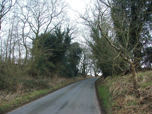
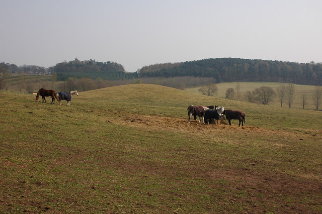
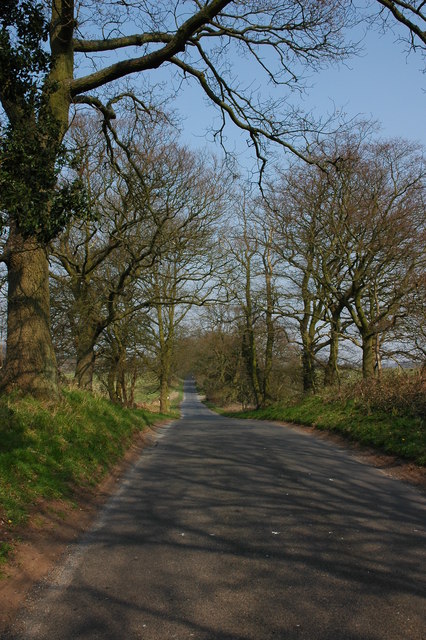
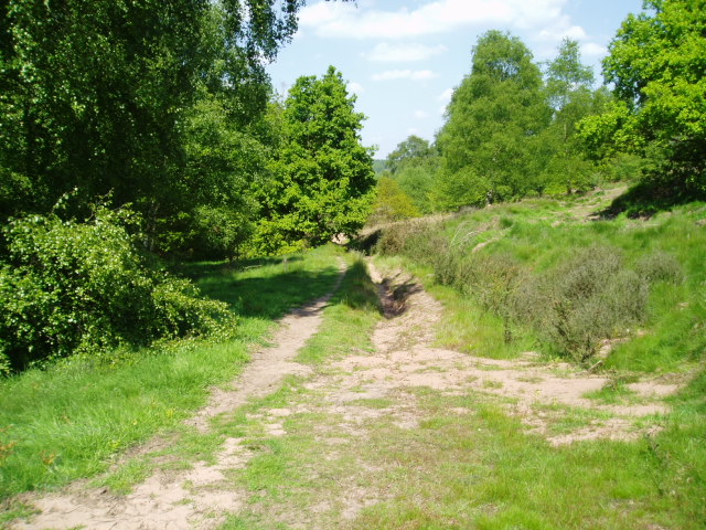
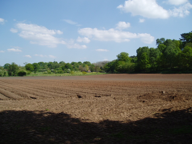
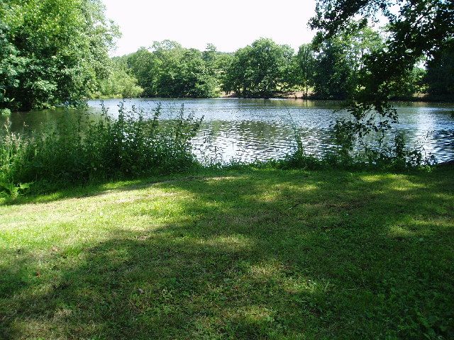
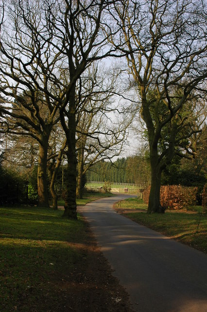
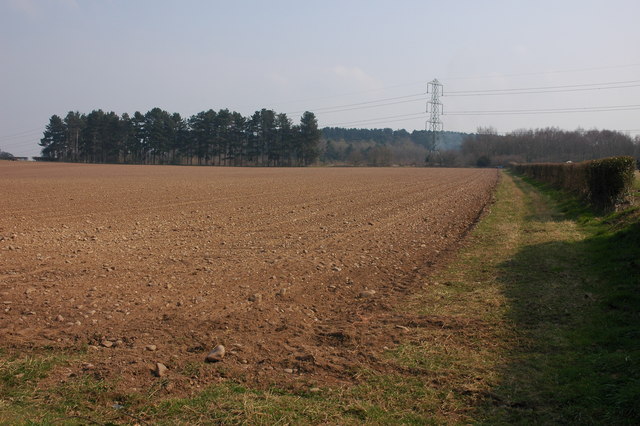
The village is surrounded by lush greenery and rolling hills, making it a popular destination for those seeking outdoor activities. There are several walking and cycling paths in the area, including the renowned Worcestershire Way, which passes through Blakedown. The nearby Clent Hills, a designated Area of Outstanding Natural Beauty, provide breathtaking views of the surrounding countryside.
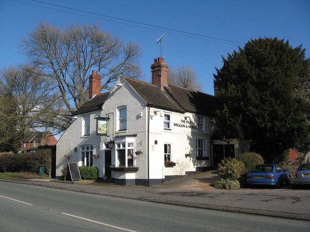
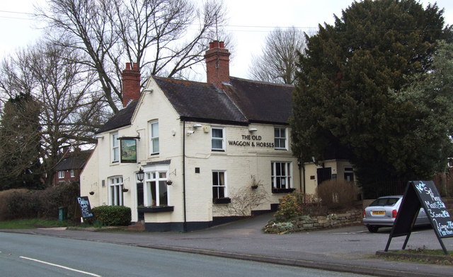
Blakedown has a close-knit community and a range of amenities to cater to its residents' needs. The village boasts a local grocery store, a post office, and a few charming shops and pubs. For more extensive shopping and entertainment options, the larger towns of Kidderminster and Stourbridge are just a short drive away.
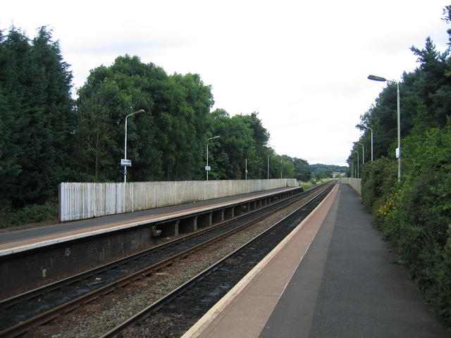
The village is well-connected by public transportation, with Blakedown railway station providing regular services to Birmingham and Worcester. This makes it an ideal location for commuters who work in the nearby cities.
Blakedown also benefits from a strong sense of community spirit, with various events and activities taking place throughout the year. The annual Blakedown Carnival, held in the summer, is a highlight for residents and visitors alike, featuring live music, food stalls, and funfair rides.
In summary, Blakedown is a picturesque village offering a peaceful and idyllic lifestyle, surrounded by stunning natural beauty and with excellent transport links to nearby cities.
If you have any feedback on the listing, please let us know in the comments section below.
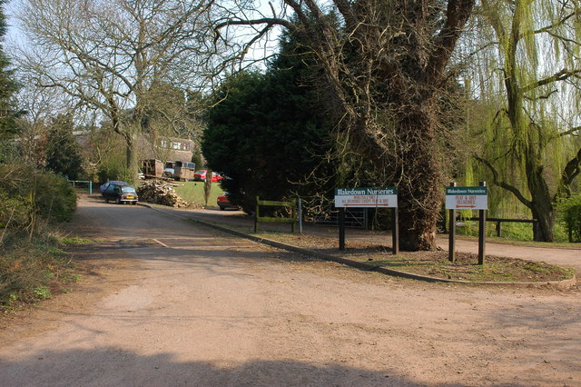
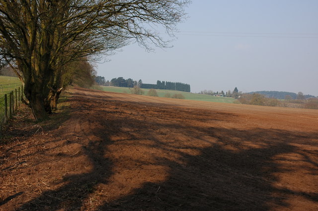
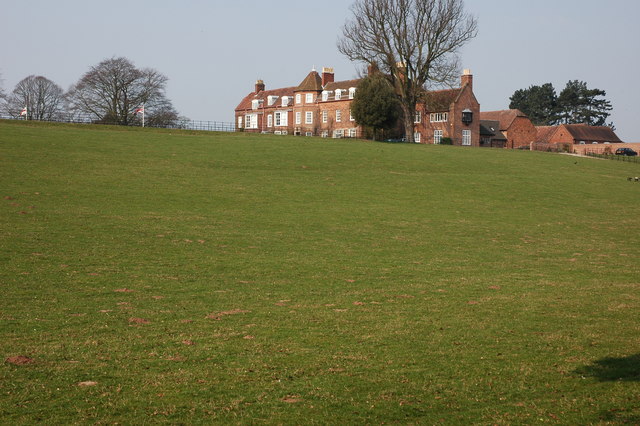
Blakedown Images
Images are sourced within 2km of 52.403601/-2.178618 or Grid Reference SO8778. Thanks to Geograph Open Source API. All images are credited.

Blakedown is located at Grid Ref: SO8778 (Lat: 52.403601, Lng: -2.178618)
Administrative County: Worcestershire
District: Wyre Forest
Police Authority: West Mercia
What 3 Words
///professes.spectacle.intention. Near Hagley, Worcestershire
Nearby Locations
Related Wikis

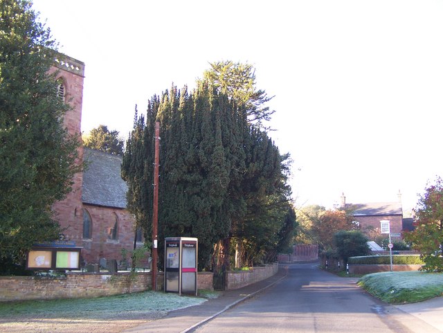
Blakedown
Blakedown is a village in the Wyre Forest District lying along the A456 in the north of the county of Worcestershire, England. Following enclosures and...

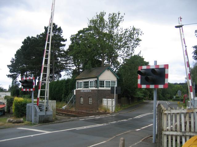
Blakedown railway station
Blakedown railway station serves the English village of Blakedown, Worcestershire. It was opened as Churchill in 1852, later becoming known for a time...
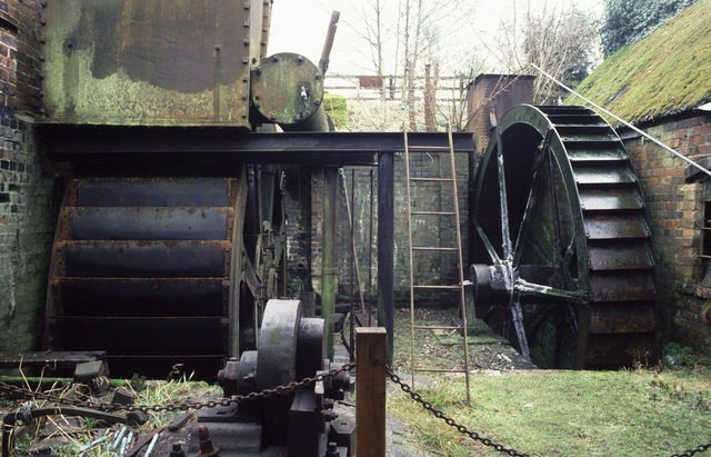
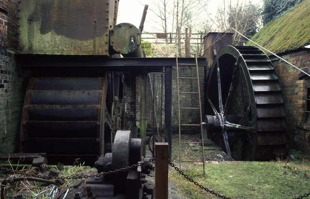
Churchill Forge Mill
Churchill Forge Mill, situated in the Worcestershire village of Churchill, is one of the last water-powered forge mills remaining in an intact state in...

Churchill, Wyre Forest
Churchill is a village and former civil parish, now in the parish of Churchill and Blakedown, in the Wyre Forest district of Worcestershire, England. It...

Hackmans Gate
Hackmans Gate is a hamlet in the parish of Broome, and the district of Wyre Forest District of Worcestershire, England.

King's Norton and Northfield Urban District
King's Norton and Northfield Urban District was a local government administrative district in north Worcestershire, England, from 1898 until 1911. Much...
Broome, Worcestershire
Broome is a village and civil parish in the Wyre Forest District of Worcestershire, England. According to the 2001 census it had a population of 338. The...

Axborough
Axborough is a low wooded hill east of Cookley in north Worcestershire, England. == History == Its Saxon name meant hassock grass barrow. This does not...
Nearby Amenities
Located within 500m of 52.403601,-2.178618Have you been to Blakedown?
Leave your review of Blakedown below (or comments, questions and feedback).