Blakelands
Settlement in Buckinghamshire
England
Blakelands
Blakelands is a small village located in Buckinghamshire, England. Situated approximately 50 miles northwest of London, it is part of the borough of Milton Keynes. Blakelands is known for its picturesque surroundings and peaceful atmosphere.
The village is primarily residential, with a mix of traditional cottages and modern homes. It offers a close-knit community feel, with friendly neighbors and a strong sense of community spirit. The area is well-maintained, with beautiful gardens and green spaces scattered throughout.
Blakelands benefits from its proximity to the town of Milton Keynes, which provides residents with a wide range of amenities and services. The town offers a variety of shopping centers, restaurants, and leisure facilities, including the popular Centre:MK shopping complex. Additionally, Milton Keynes is home to several schools, making it an attractive location for families with children.
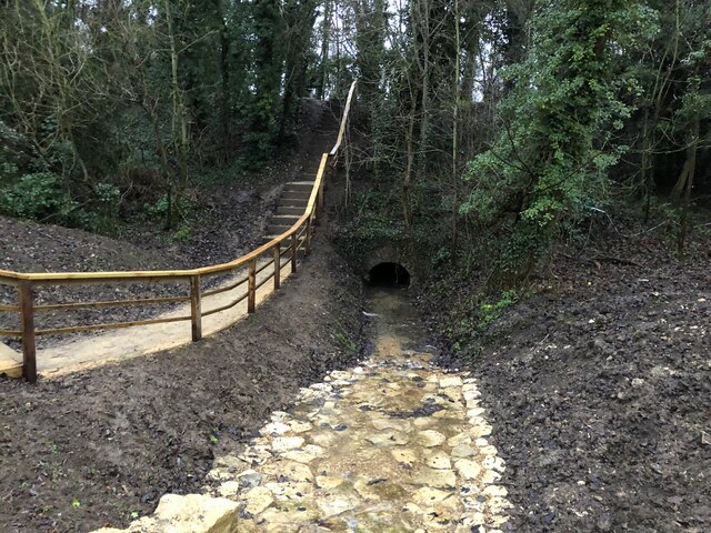
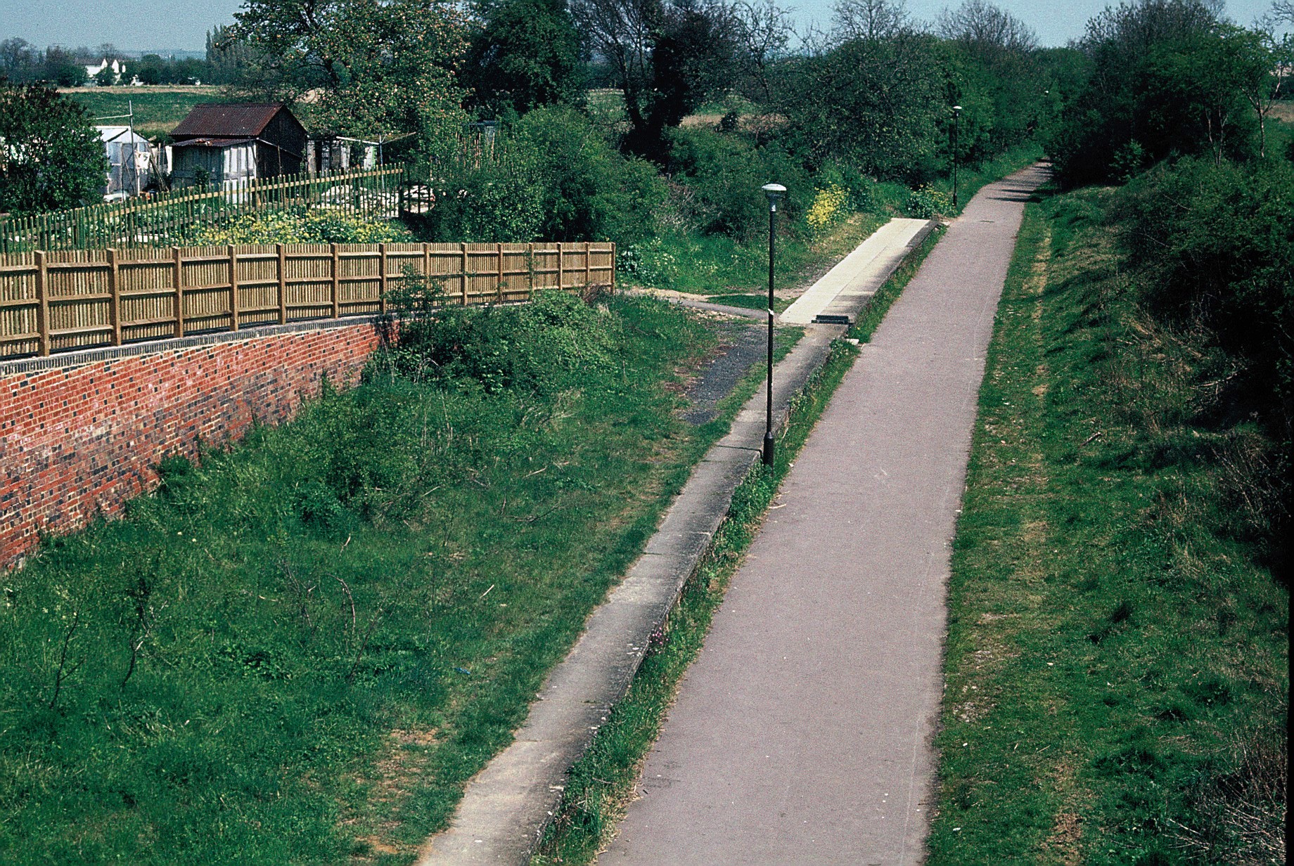
Nature enthusiasts will appreciate the village's close proximity to the beautiful Ouse Valley Park, which offers scenic walking and cycling trails along the River Great Ouse. The park is also home to a variety of wildlife, making it an ideal spot for birdwatching and nature photography.
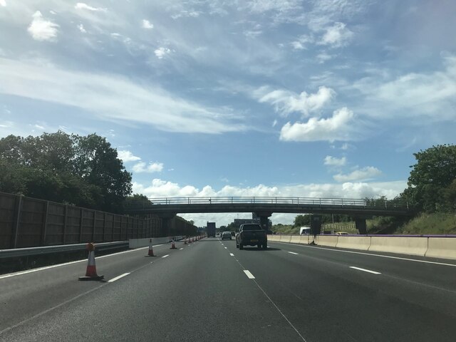
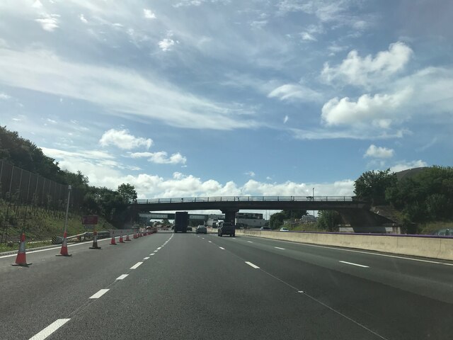
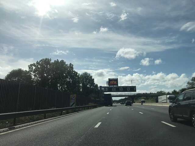
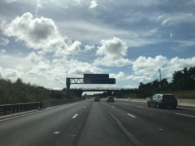
Blakelands enjoys excellent transport links, with easy access to major road networks such as the M1 and A5. Milton Keynes Central railway station is just a short drive away, providing frequent train services to London and other major cities.
Overall, Blakelands offers a tranquil and idyllic setting for residents, with the convenience of nearby amenities and excellent transport connections.
If you have any feedback on the listing, please let us know in the comments section below.
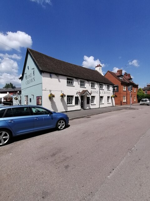
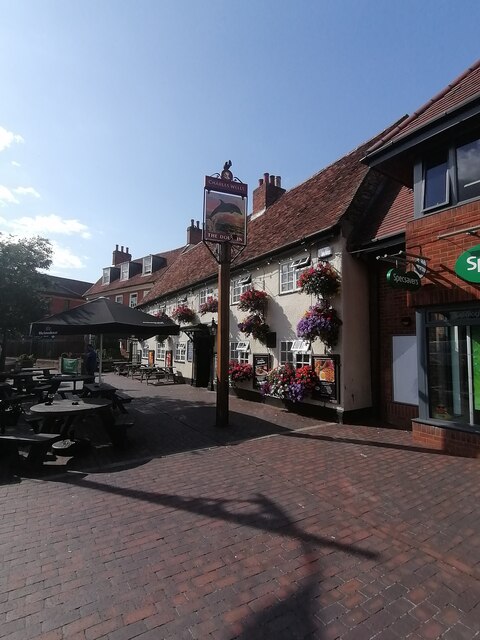
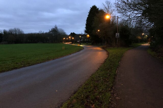
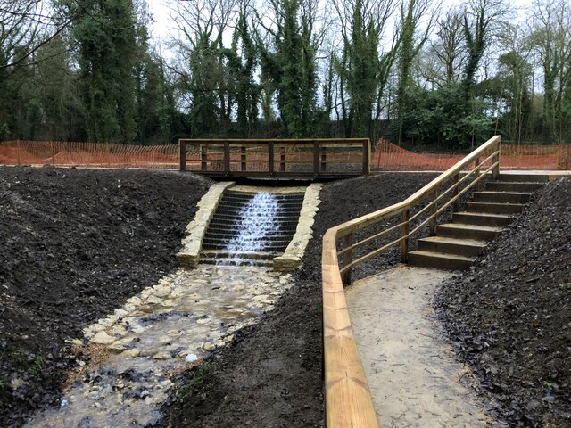
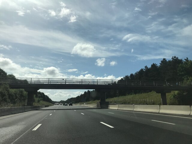
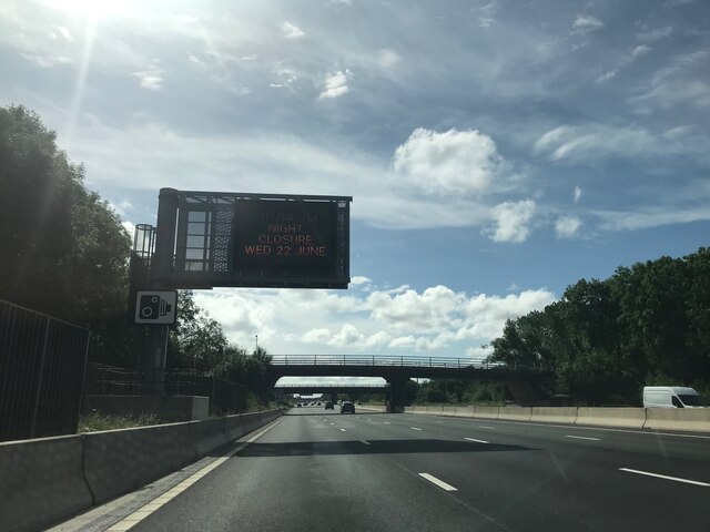
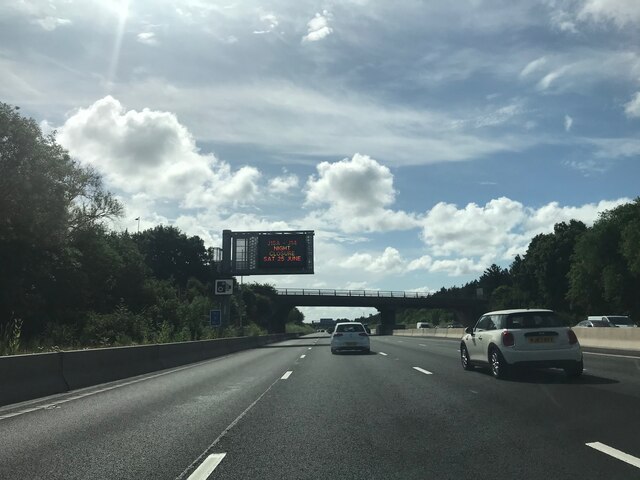
Blakelands Images
Images are sourced within 2km of 52.07332/-0.744117 or Grid Reference SP8642. Thanks to Geograph Open Source API. All images are credited.
Blakelands is located at Grid Ref: SP8642 (Lat: 52.07332, Lng: -0.744117)
Unitary Authority: Milton Keynes
Police Authority: Thames Valley
What 3 Words
///radiates.drive.neon. Near Newport Pagnell, Buckinghamshire
Nearby Locations
Related Wikis

Milton Keynes & District Reform Synagogue
Milton Keynes & District Reform Synagogue, also known as Beit Echud, is a Reform Jewish community on Hainault Avenue in Milton Keynes, Buckinghamshire...
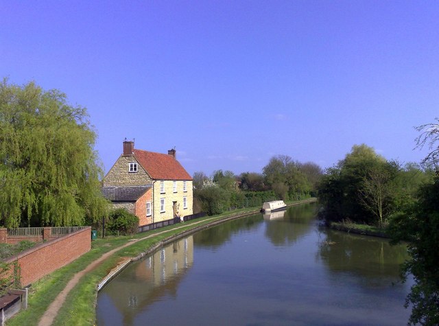
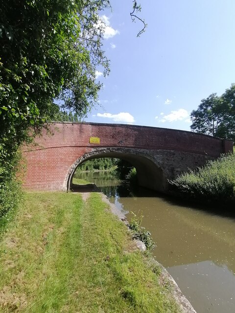
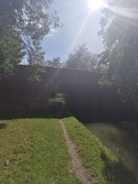
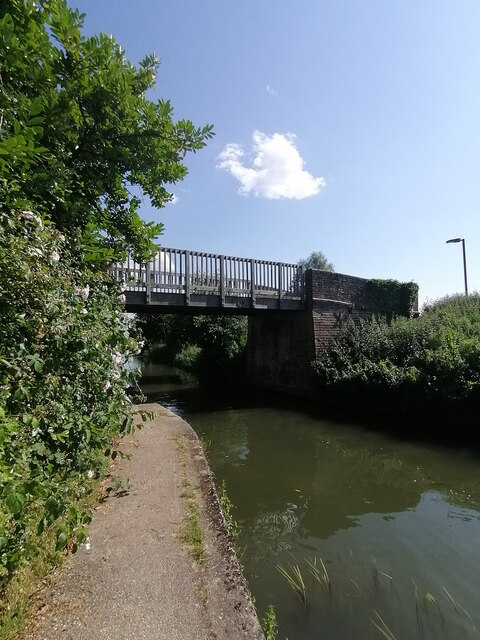
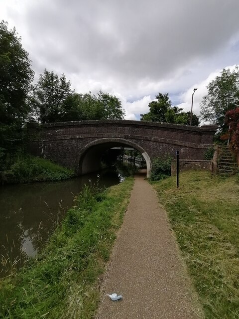
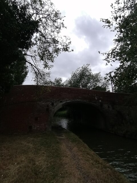
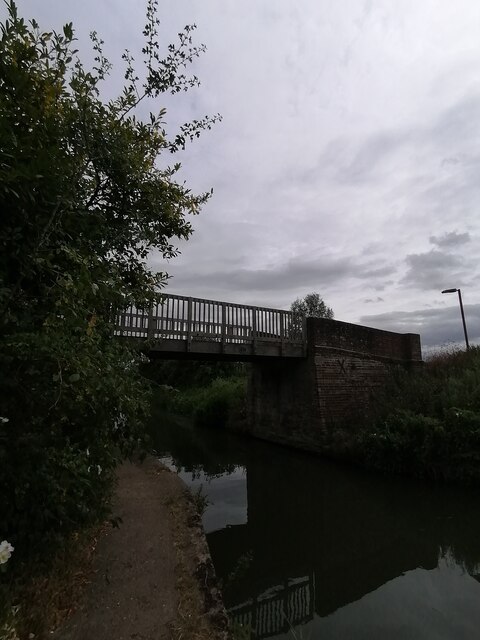
Newport Pagnell Canal
The Newport Pagnell Canal was a 1.25 mile canal in Buckinghamshire that ran from the Grand Junction Canal at Great Linford to Newport Pagnell through seven...

Milton Keynes urban area
The Milton Keynes urban area or Milton Keynes Built-up Area is a designation established by the United Kingdom's Office for National Statistics. Milton...
Great Linford railway station
Great Linford railway station was a railway station on the Wolverton to Newport Pagnell line. It served the village of Great Linford, Buckinghamshire,...
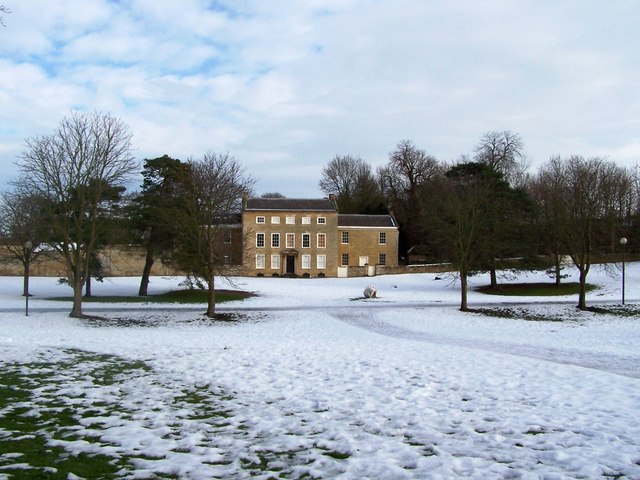
Linford Manor
Linford Manor, also known as Great Linford Manor, is a seventeenth-century mansion or manor house converted into a recording studio complex in Great Linford...
Ousedale School
Ousedale School, is an academy based in Newport Pagnell and Olney, in the City of Milton Keynes, Buckinghamshire, England. The school opened in 1963 to...
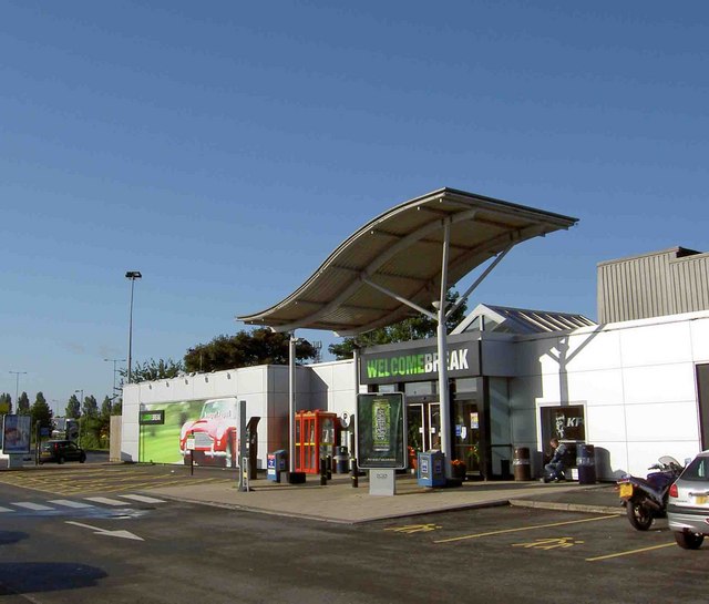
Newport Pagnell services
Newport Pagnell Services is a motorway service station between junctions 14 and 15 of the M1 motorway near Newport Pagnell in the City of Milton Keynes...

Pennyland project
The Pennyland project was one of a series of low-energy building experiments sparked by the 1973 oil crisis. It involved the construction of an estate...
Nearby Amenities
Located within 500m of 52.07332,-0.744117Have you been to Blakelands?
Leave your review of Blakelands below (or comments, questions and feedback).