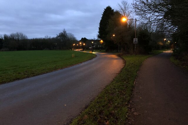
Giffard Park
Settlement in Buckinghamshire
England
Giffard Park
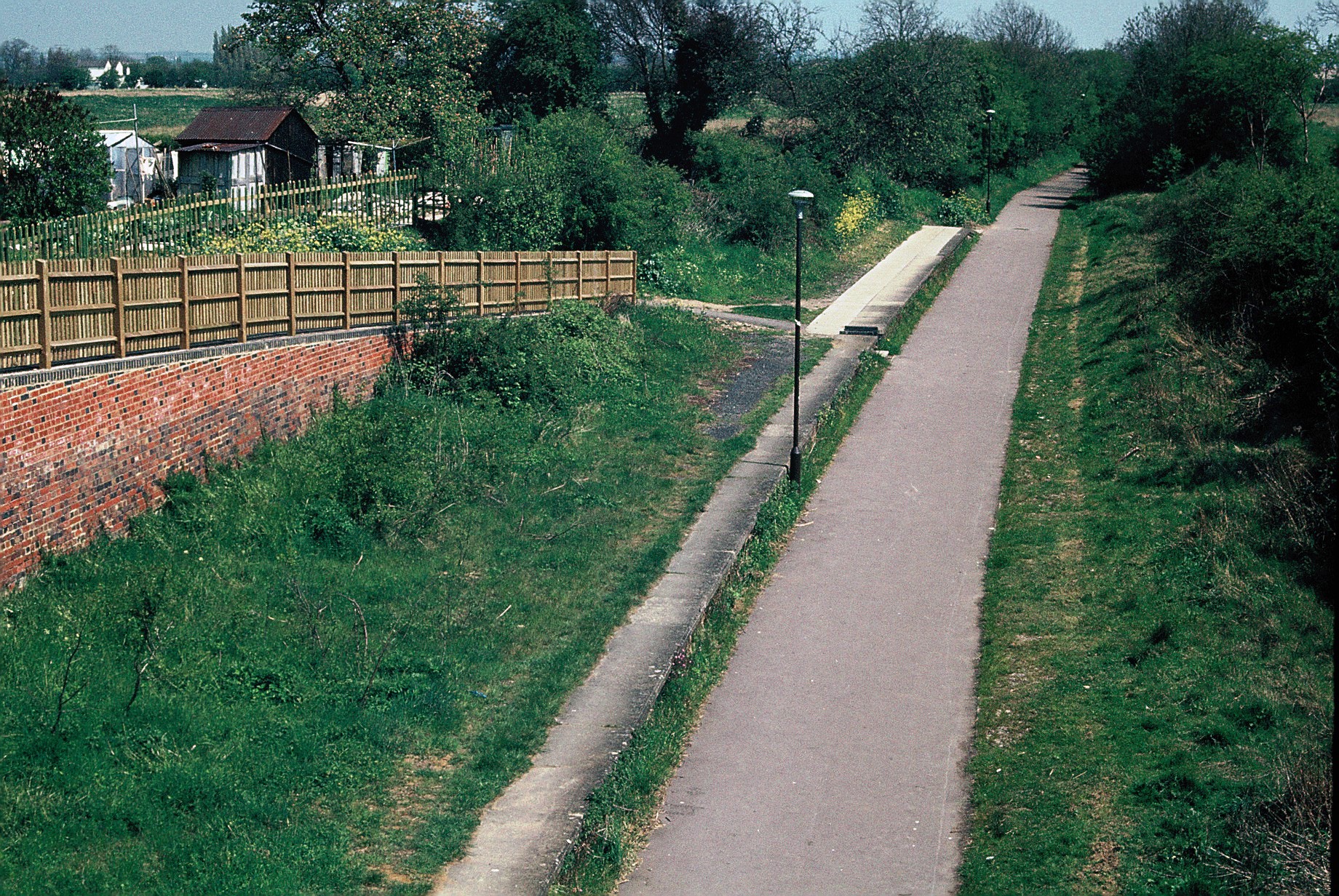
Giffard Park is a suburban housing estate located in the town of Milton Keynes, Buckinghamshire, England. Situated in the northern part of the town, it is part of the larger district of Newport Pagnell.
The estate was developed during the 1970s as part of the expansion of Milton Keynes, which was designated as a new town in 1967. Giffard Park was designed as a residential area, primarily consisting of semi-detached and terraced houses. The area offers a mix of private and social housing, providing homes for a diverse range of residents.
One of the key features of Giffard Park is its close proximity to local amenities. The estate has its own community center, which serves as a hub for various social activities and events. There are also several local shops, including a convenience store, a pharmacy, and a post office, providing convenient access to everyday essentials.
Giffard Park is well-connected to the rest of Milton Keynes, with several bus routes passing through the area, providing easy access to the town center and other parts of the town. The estate is also located near the M1 motorway, offering convenient access to neighboring cities such as Northampton and London.
Overall, Giffard Park is a well-established residential area that offers a range of housing options and convenient access to local amenities and transportation links.
If you have any feedback on the listing, please let us know in the comments section below.
Giffard Park Images
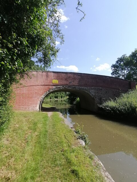
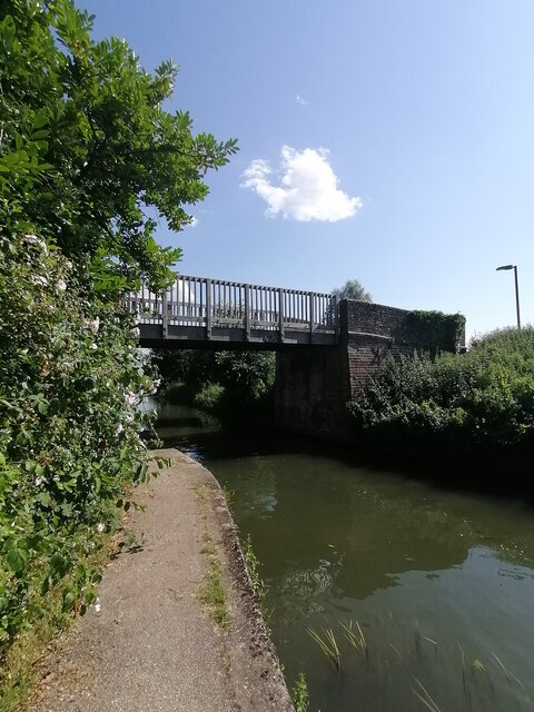
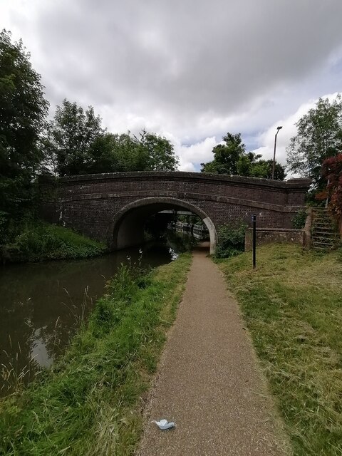
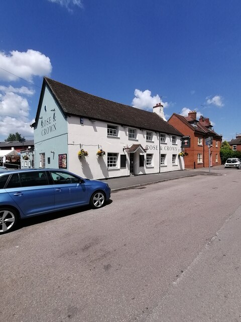
Images are sourced within 2km of 52.073074/-0.74420917 or Grid Reference SP8642. Thanks to Geograph Open Source API. All images are credited.


Giffard Park is located at Grid Ref: SP8642 (Lat: 52.073074, Lng: -0.74420917)
Unitary Authority: Milton Keynes
Police Authority: Thames Valley
What 3 Words
///moral.smallest.shortens. Near Newport Pagnell, Buckinghamshire
Nearby Locations
Related Wikis

Milton Keynes & District Reform Synagogue
Milton Keynes & District Reform Synagogue, also known as Beit Echud, is a Reform Jewish community on Hainault Avenue in Milton Keynes, Buckinghamshire...
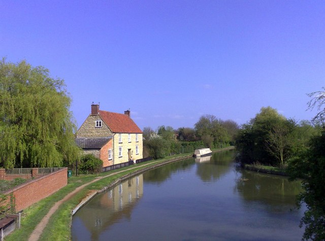
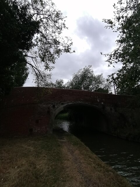
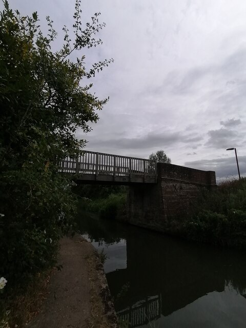
Newport Pagnell Canal
The Newport Pagnell Canal was a 1.25 mile canal in Buckinghamshire that ran from the Grand Junction Canal at Great Linford to Newport Pagnell through seven...

Milton Keynes urban area
The Milton Keynes urban area or Milton Keynes Built-up Area is a designation established by the United Kingdom's Office for National Statistics. Milton...
Great Linford railway station
Great Linford railway station was a railway station on the Wolverton to Newport Pagnell line. It served the village of Great Linford, Buckinghamshire,...
Nearby Amenities
Located within 500m of 52.073074,-0.74420917Have you been to Giffard Park?
Leave your review of Giffard Park below (or comments, questions and feedback).